Trail Overview
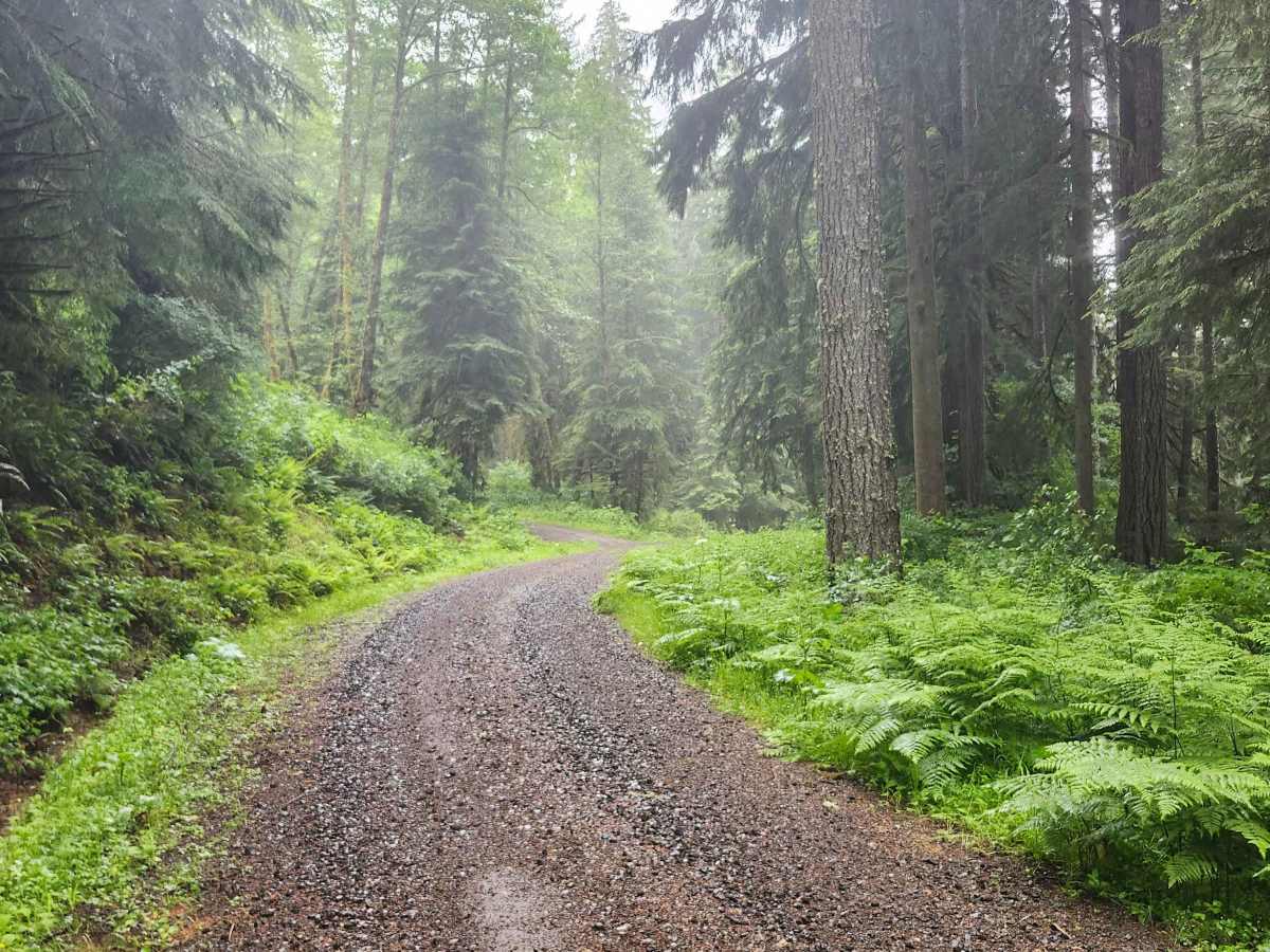
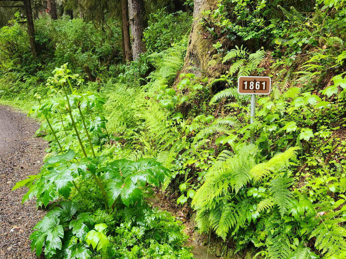
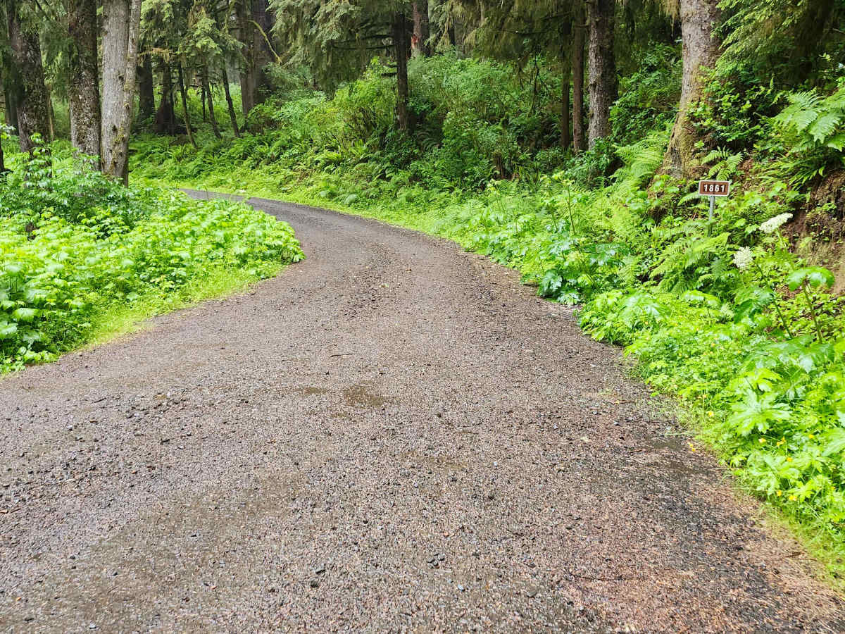
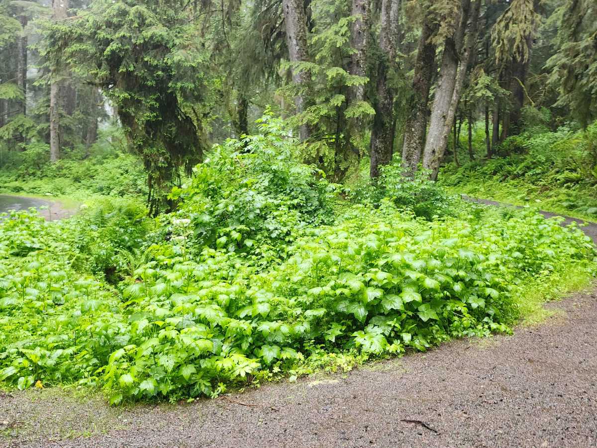
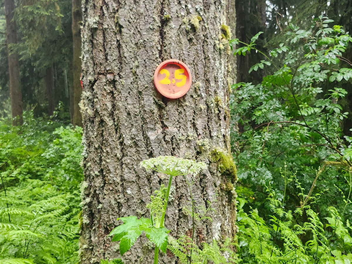
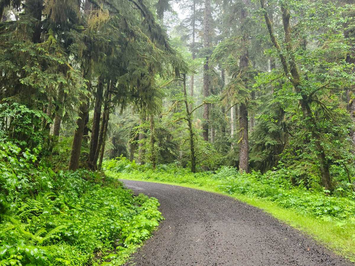
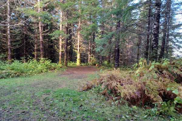
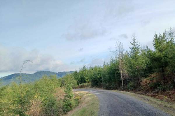
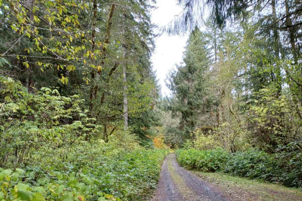
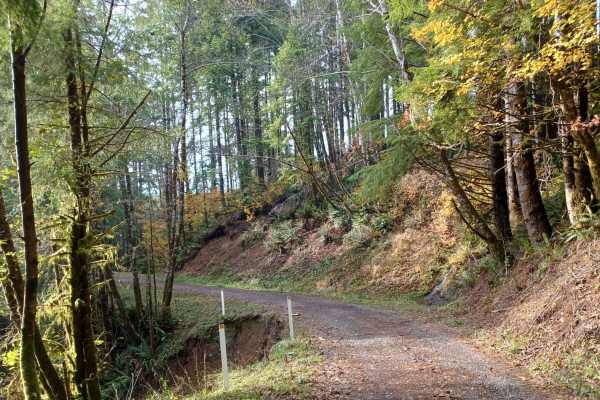
This forest road starts off Slab Creek Road (North Old Scenic Highway 101) and winds southeast toward Highway 18. The surface is dirt, rock, and gravel, properly crowned with a drainage ditch on both sides—stay centered and avoid driving into the ditches. The road is generally one vehicle wide with occasional pullouts. Conditions are easy in dry weather, but coastal rain is frequent in this area and can make the surface softer or slicker, so conditions vary by season and recent weather. The route runs through dense, lush forest with heavy moss and fern cover typical of the Oregon Coast Range. It's quiet and lightly traveled, though not isolated enough to rule out crossing paths with another vehicle. A handful of spur trails branch off the main road for those who want to explore further. Historically, this was a through road connecting to Highway 18, but it's currently gated about three miles in due to a slide, with roughly 1.5 miles beyond the gate inaccessible. There's an intersection right at the gate with enough room to turn around. Parking is limited to a small pullout area at the turn onto Widow Creek Road from Slab Creek Road—there's no formal staging area or lot.