4609000

Total Miles4.3
Technical Rating
2Easy
Best TimeSpring, Summer, Fall
Trail TypeFull-Width Road
Accessible By
Open Trail Map

Trail Overview

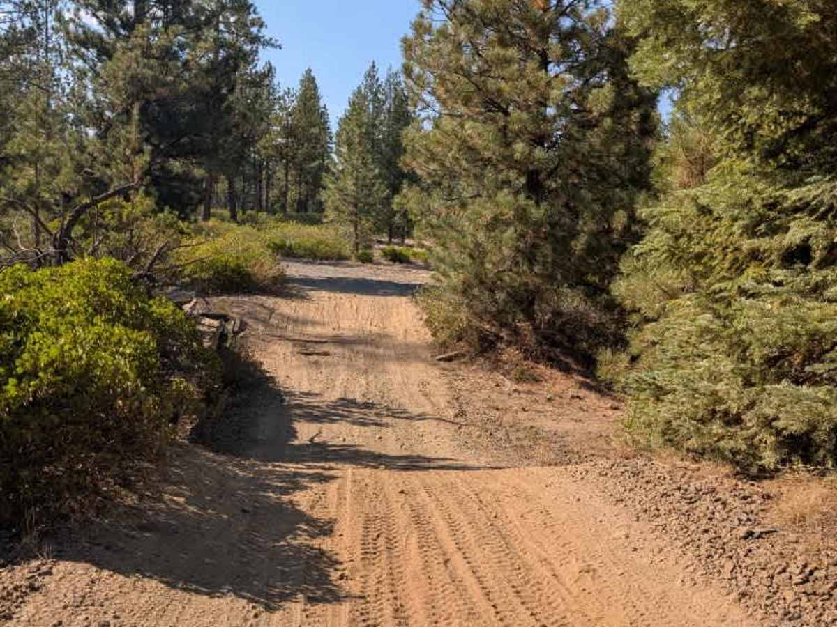
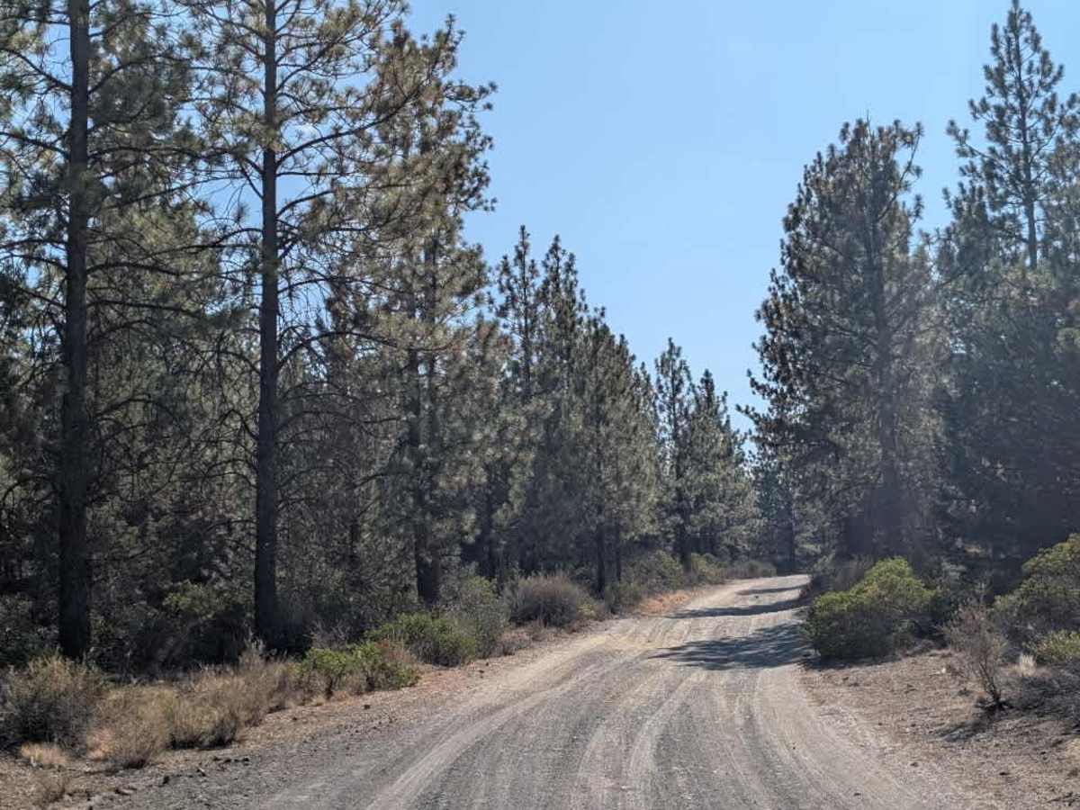
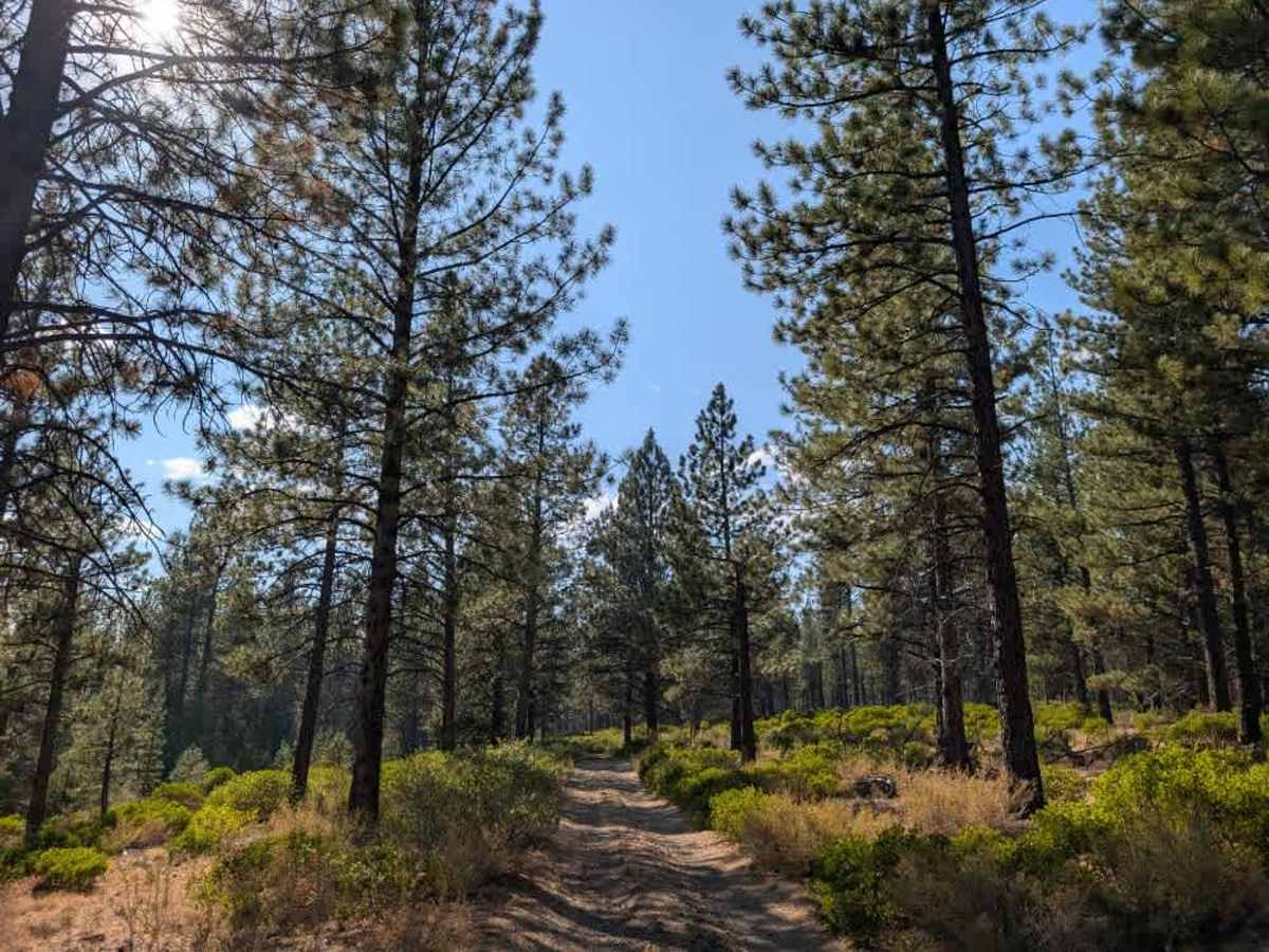
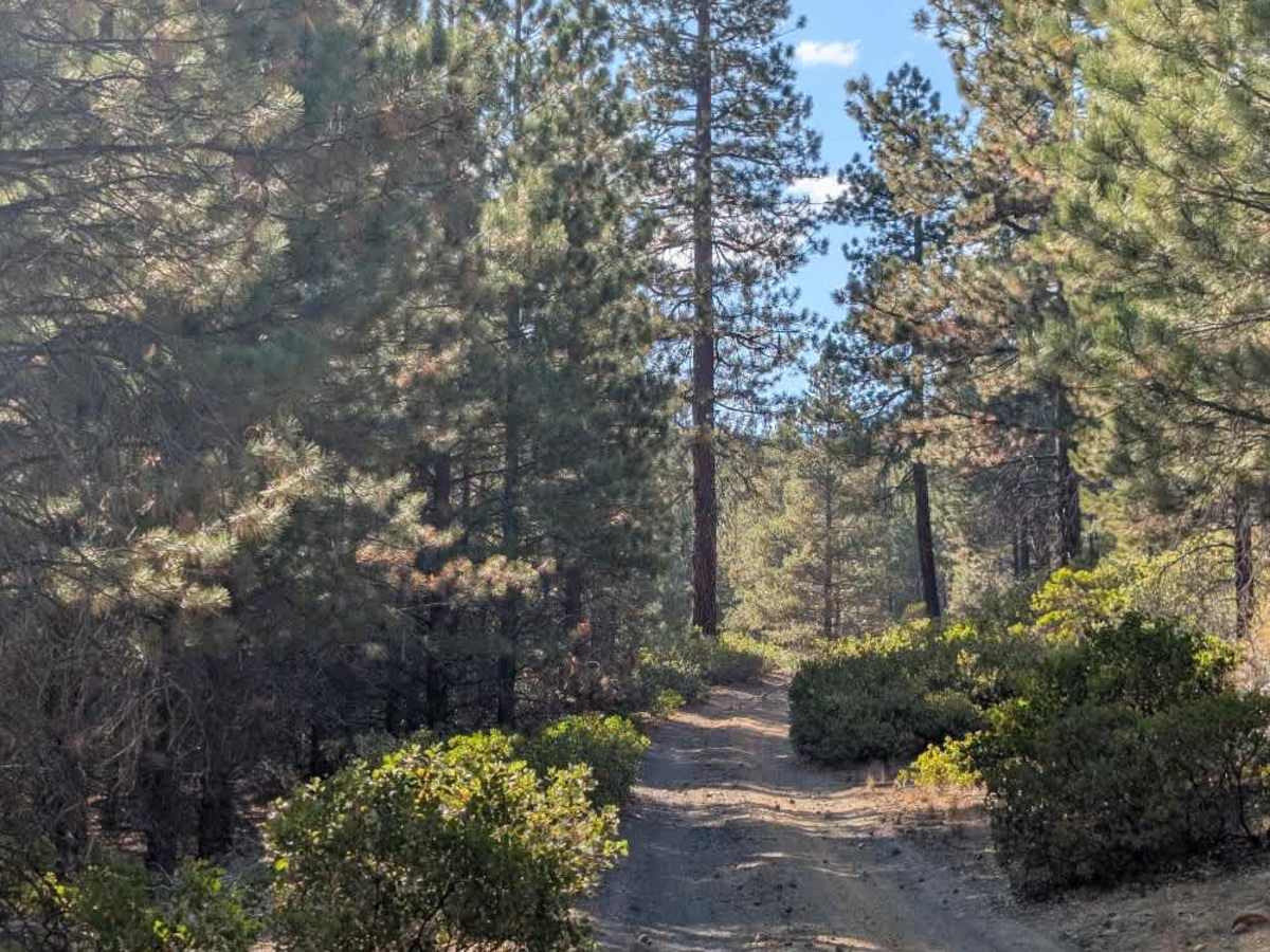
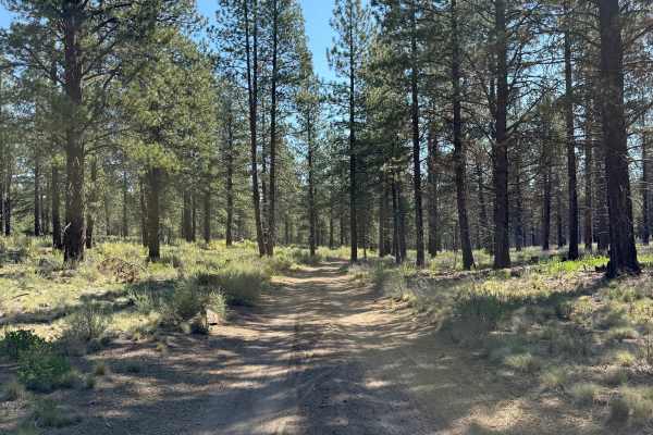
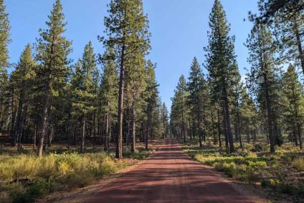
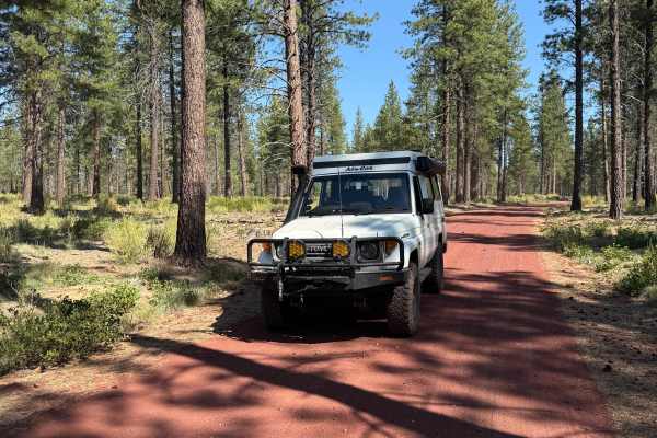
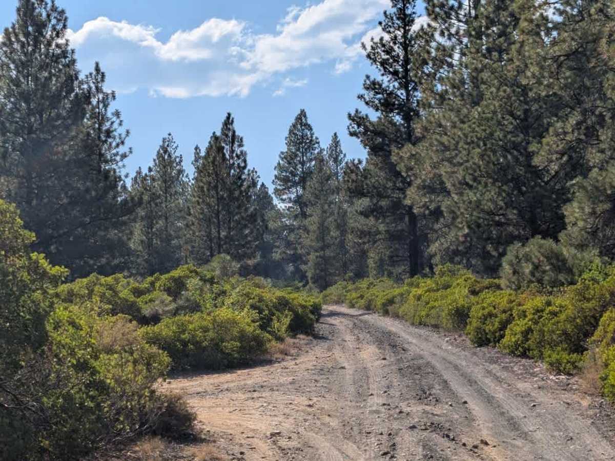
This trail begins as a well-maintained road but progressively becomes rougher, with increasingly rocky terrain, deep undulations, and sections where a 4x4 may be necessary. This route suits high-clearance 4x4 vehicles, SxSs, and ATVs. One particularly rough section comes up suddenly near a designated parking area on the left. Immediately beyond the parking area is a large dip where a pedestrian bridge was apparently removed, leaving an opening now used as a vehicle crossing. High clearance is strongly recommended through this section. The road eventually ends at a closed gate, and the actual route does not continue as far as the map indicates. However, another route lets you return to the main road, though this connection isn’t currently shown on the map. A road branching to the left also leads toward Skyliners Road. Despite the rough conditions, the trail offers beautiful views along the route. ATVs, UTVs, Side-by-Sides, and Dirt Bikes must always have a valid Oregon ATV Operating Permit sticker.

Photos of 4609000

Difficulty

The trail starts easy but becomes significantly rougher, with sections requiring careful navigation and high clearance.

Technical Rating

2

4609000 Trail can be accessed by the following ride types:

  • Single Track
  • 50 Inch
  • 60 Inch
  • High Clearance
  • Full Width

4609000 Map

The onX Offroad Difference

onX Offroad combines trail photos, descriptions, difficulty ratings, width restrictions, seasonality, and more in a user-friendly interface. Available on all devices, with offline access and full compatibility with CarPlay and Android Auto. Discover what you're missing today!

Open Trail Map