East Signal Mountain

Total Miles11.5
Technical Rating
5Moderate
Best TimeFall, Spring, Winter
Trail TypeFull-Width Road
Accessible By
Open Trail Map

Trail Overview

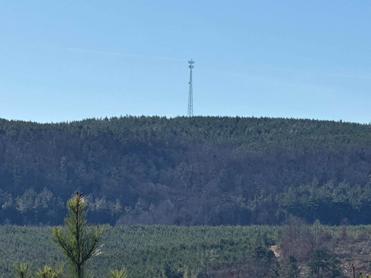
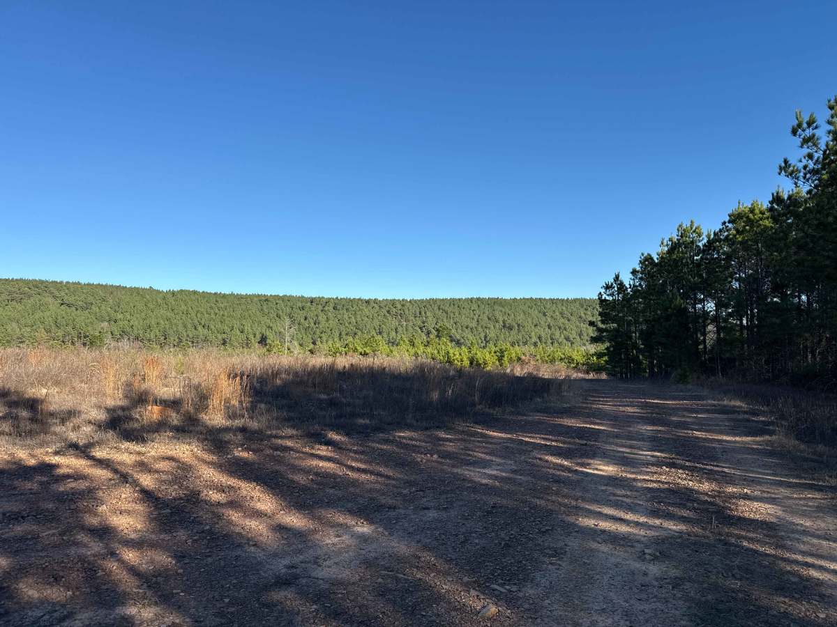
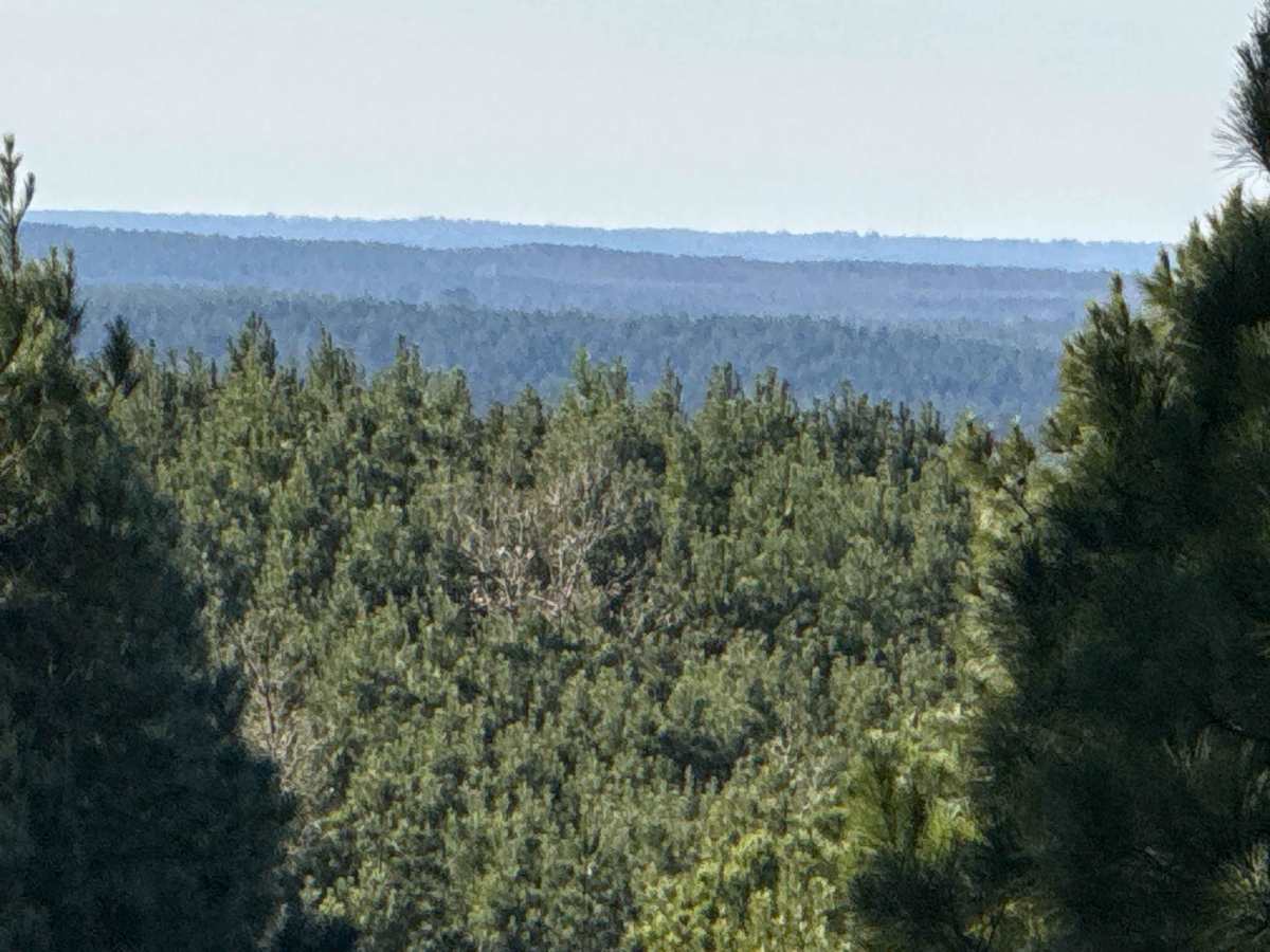
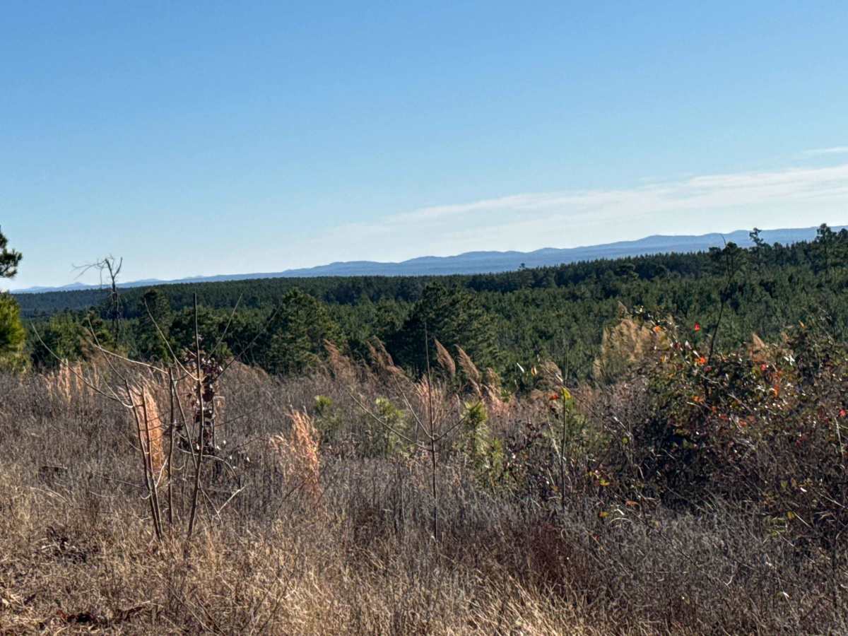
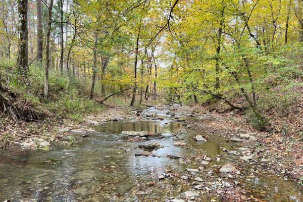
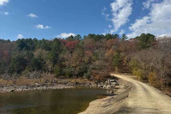
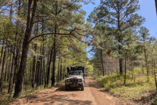
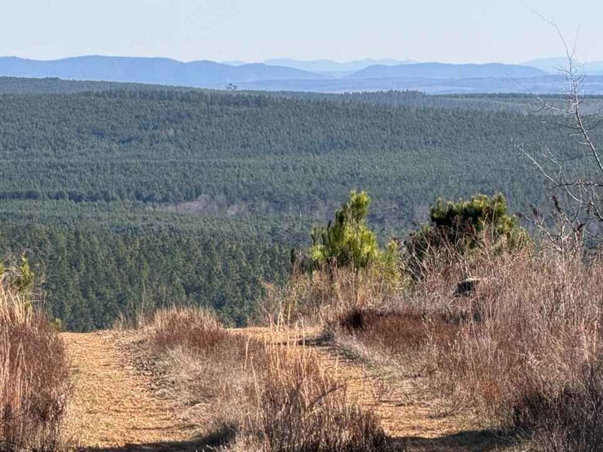
This is a beautiful area of North Western McCurtain County; it is highly isolated, and the terrain for most of the trail is just hilltop roads and small creek valleys. There are some pine farms in the area, but the land near the top, which is over 1400 feet high, is probably a Rating 3 to 5, too much for a smaller, shorter vehicle, but great for a 4x4. It is a very scenic area, and very much worth the time.

Photos of East Signal Mountain

Difficulty

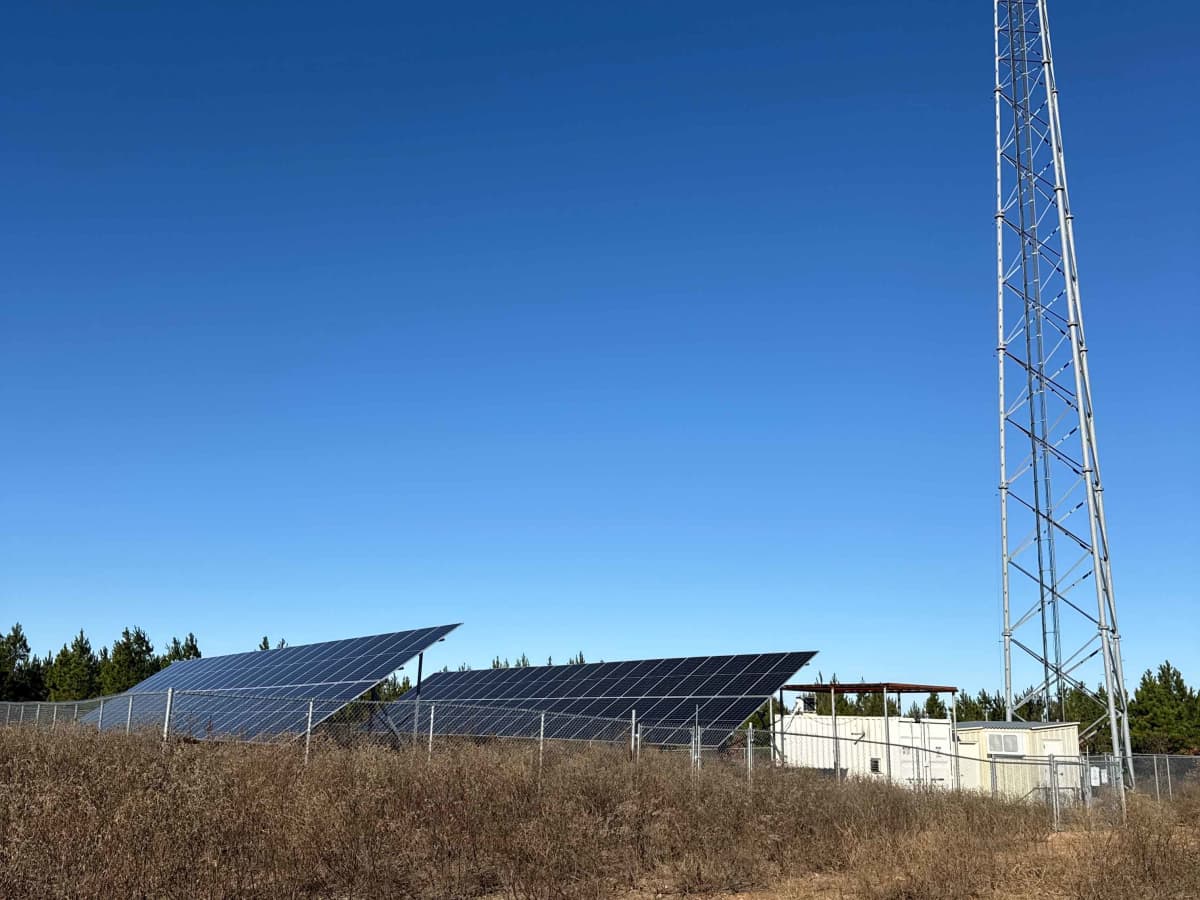
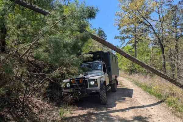
This trail requires attention due to significant rutting and some surface mud. It is a one-way access road that ends at the top, where there is adequate space to turn around.

Technical Rating

5

Status Reports

Add Status Report
Erick Magana
May 16, 2026
2022 Ford Bronco
Temporarily Closed
The trail is a little rough and deteriorated. It was not a very hard trail. There was a closed gate getting towards the end of the trail as you near the peak and I had to turn around.
Mitchell Davis
Feb 21, 2026
2022 Ford F150
Open
DustyMuddy/WetRough/Deteriorated
Great ride today. Went from the bottom to the top without a problem. There’s a few big washouts but wasn’t a issue going through. The creek crossings were nice. Solid bottoms no issues at all.

East Signal Mountain Trail can be accessed by the following ride types:

  • Single Track
  • 50 Inch
  • 60 Inch
  • High Clearance
  • Full Width

East Signal Mountain Map

The onX Offroad Difference

onX Offroad combines trail photos, descriptions, difficulty ratings, width restrictions, seasonality, and more in a user-friendly interface. Available on all devices, with offline access and full compatibility with CarPlay and Android Auto. Discover what you're missing today!

Open Trail Map