Trail Overview
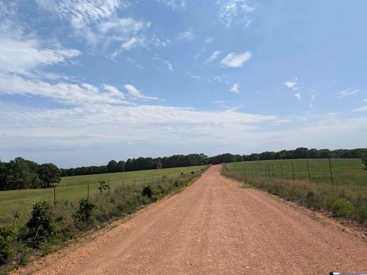
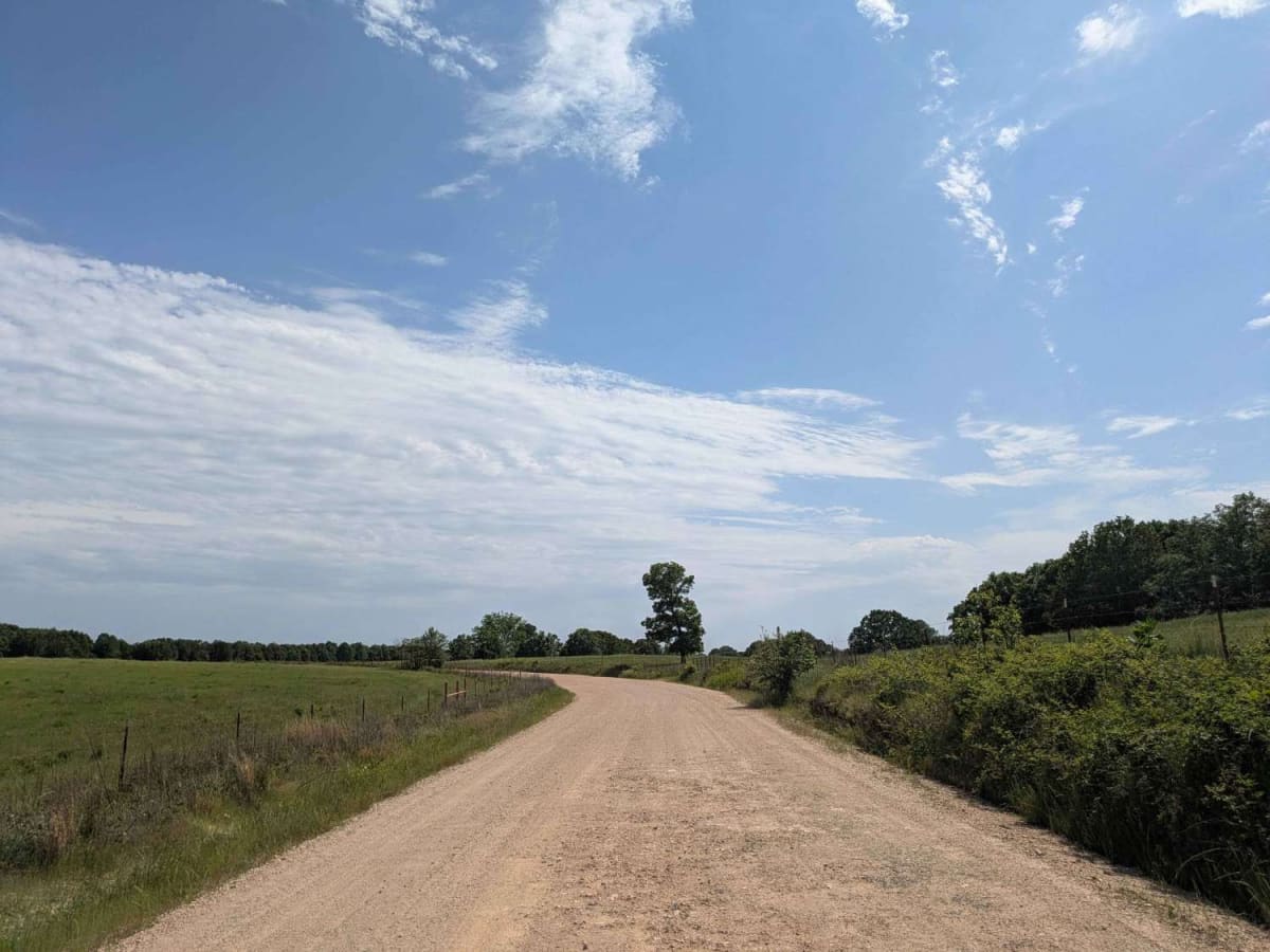
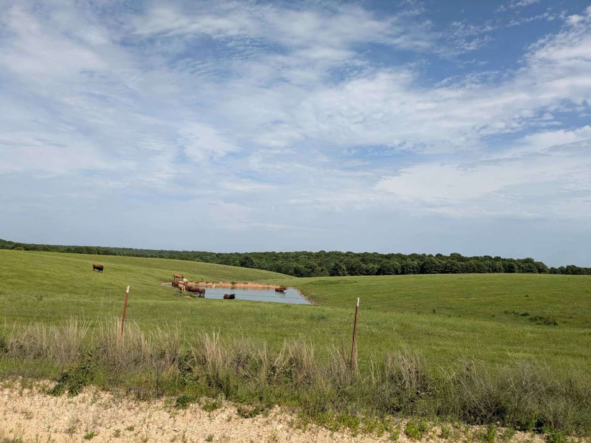
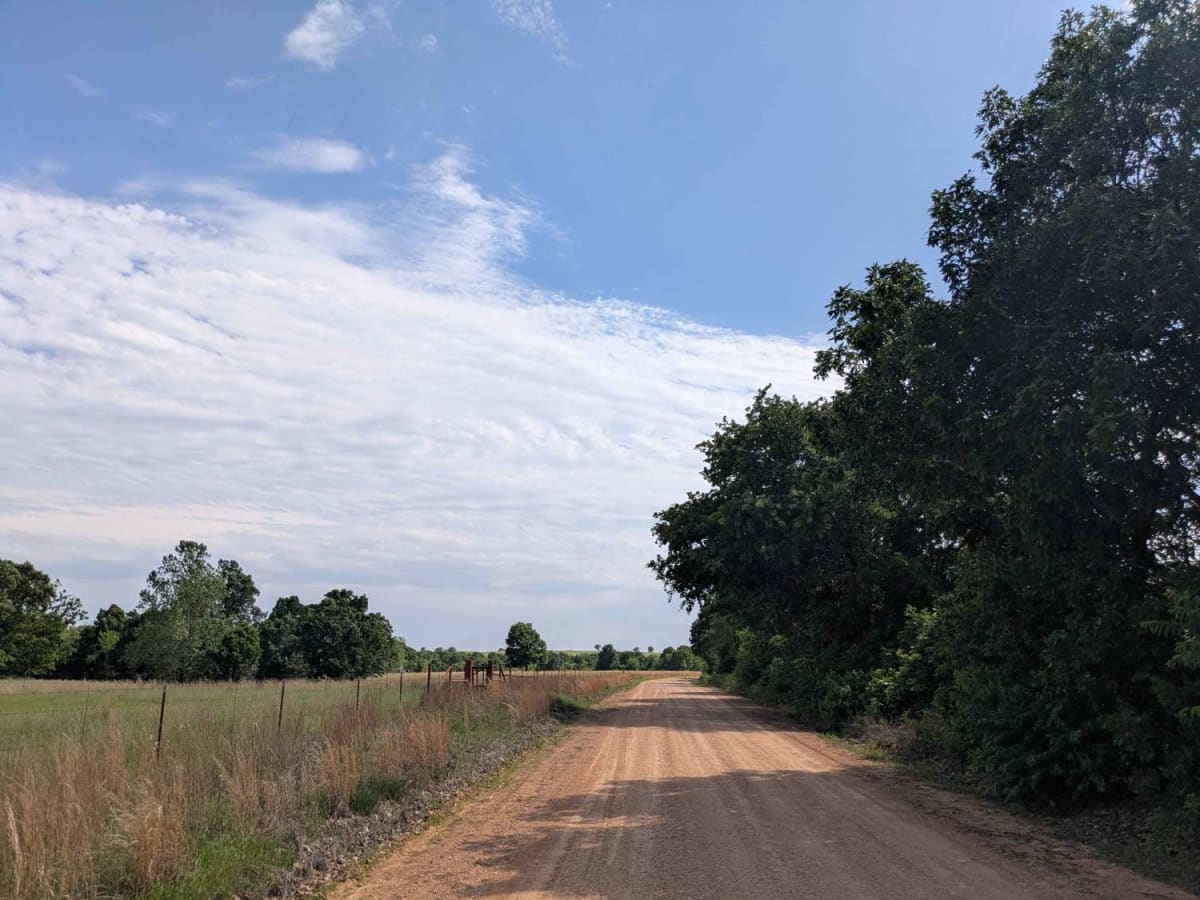
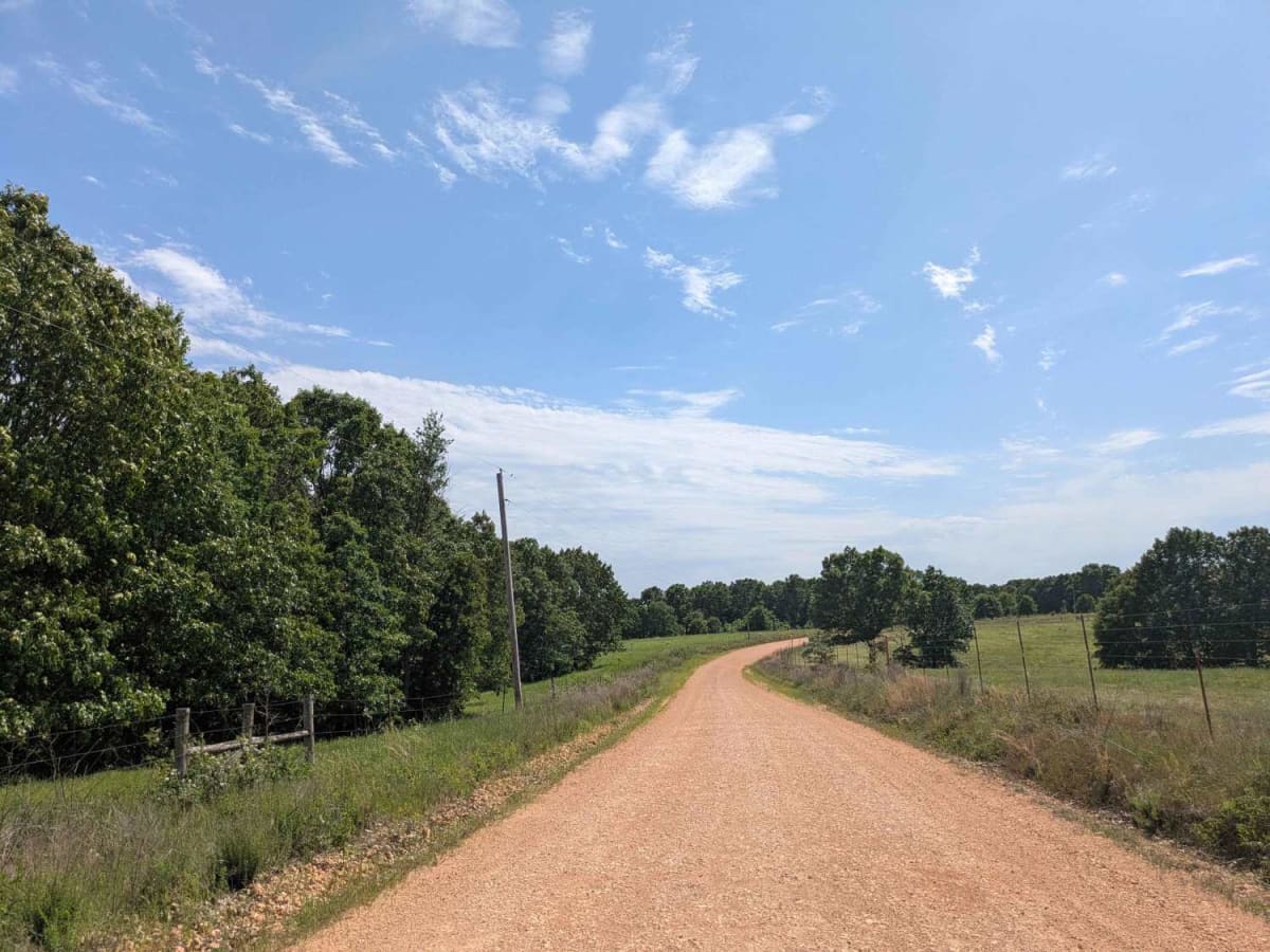
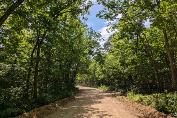
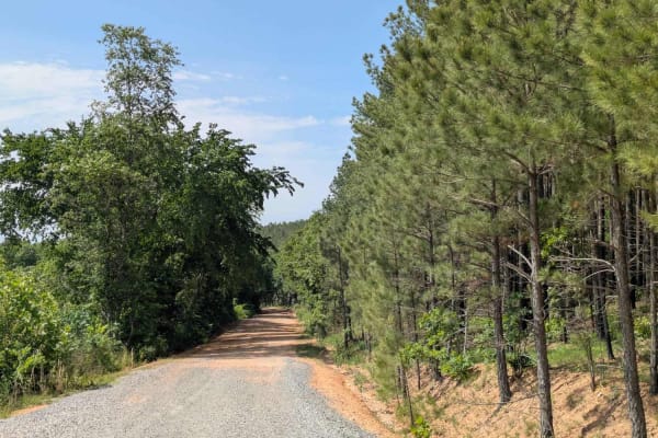
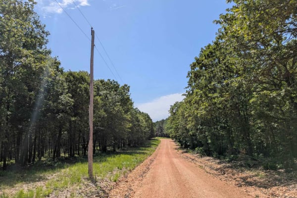
This section of the Oklahoma Adventure Trail stands out for its exceptional natural beauty, winding gracefully between dense forest and wide open fields. The gravel surface is generally well-maintained, though travelers should expect some rocky patches and frequent potholes along the way. At one end of the trail, there is a firing range, and the area is known to be home to a Cherokee Nation buffalo herd, although no animals were spotted during this particular visit. Despite its scenic appeal, the trail does not offer any formal or dispersed camping options and lacks basic services such as trash disposal and access to potable water. Cell phone coverage is limited, so it is recommended to consult the onX app for up-to-date signal information before traveling.
Difficulty
The trail is well-maintained and routinely graded to support a range of local use, from daily agricultural traffic by farmers to occasional travelers and outdoor enthusiasts passing through the area. Its good condition makes it easily accessible and reliable for all types of vehicles.
History
The Oklahoma Adventure Trail is a unique and ever-changing route that crosses through the state and allows visitors to avoid major roads and towns. Created by two Oklahomans and contributed to by numerous more, this trail is 70 percent dirt roads and 30 percent paved, and takes riders and hikers through scenic, historical, and diverse regions throughout Oklahoma.