Trail Overview
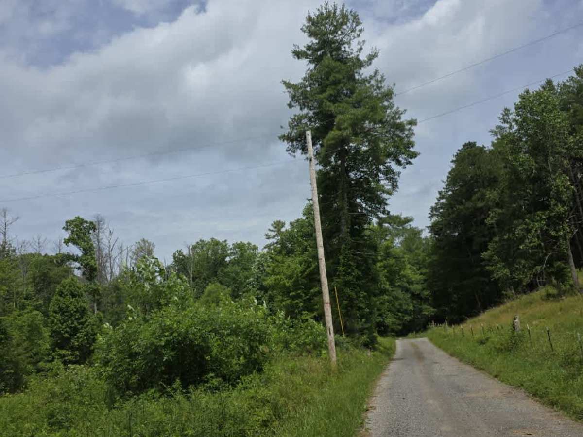
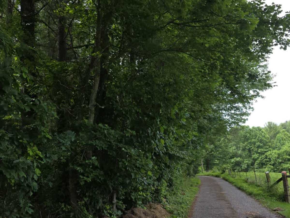
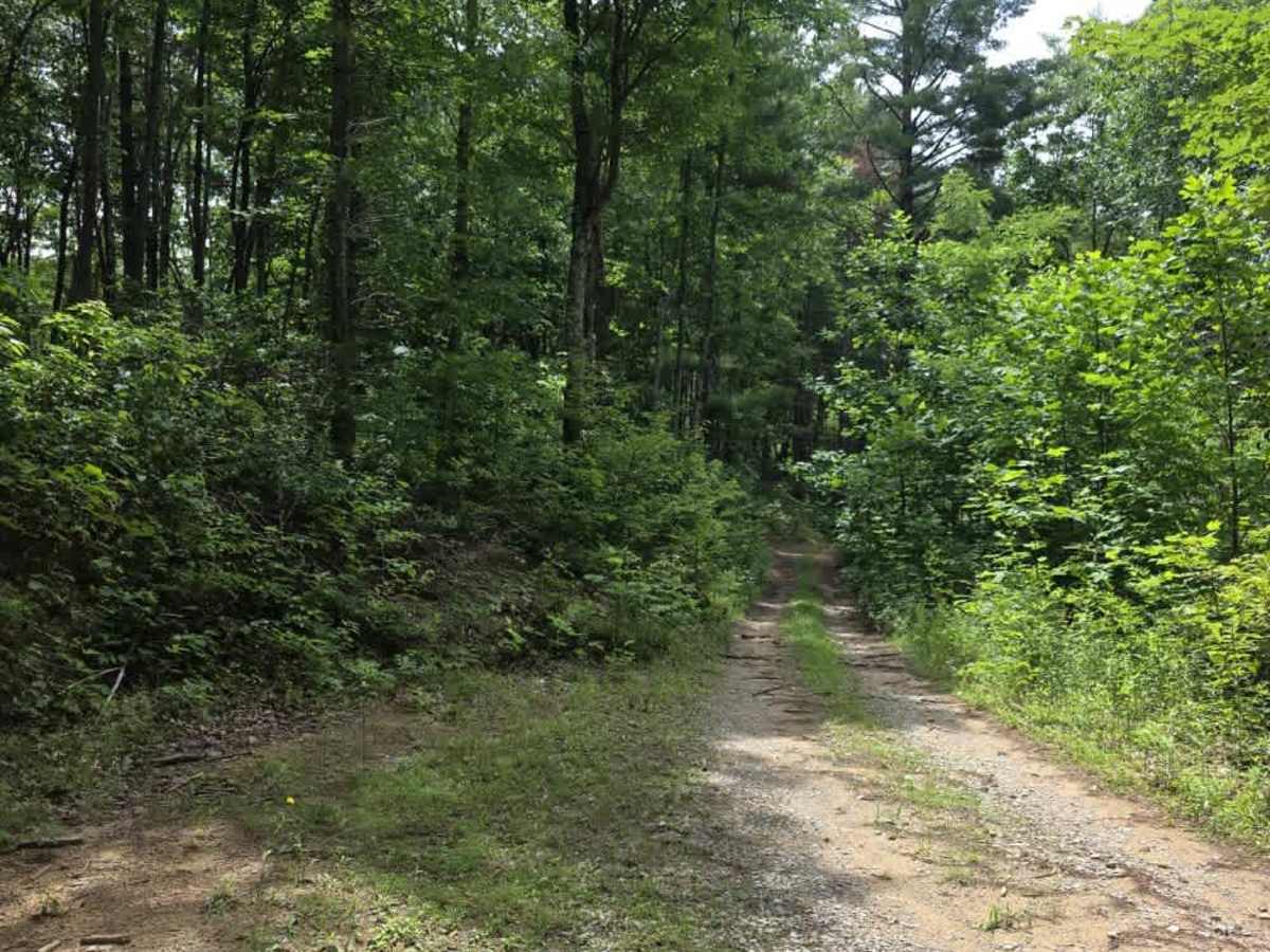
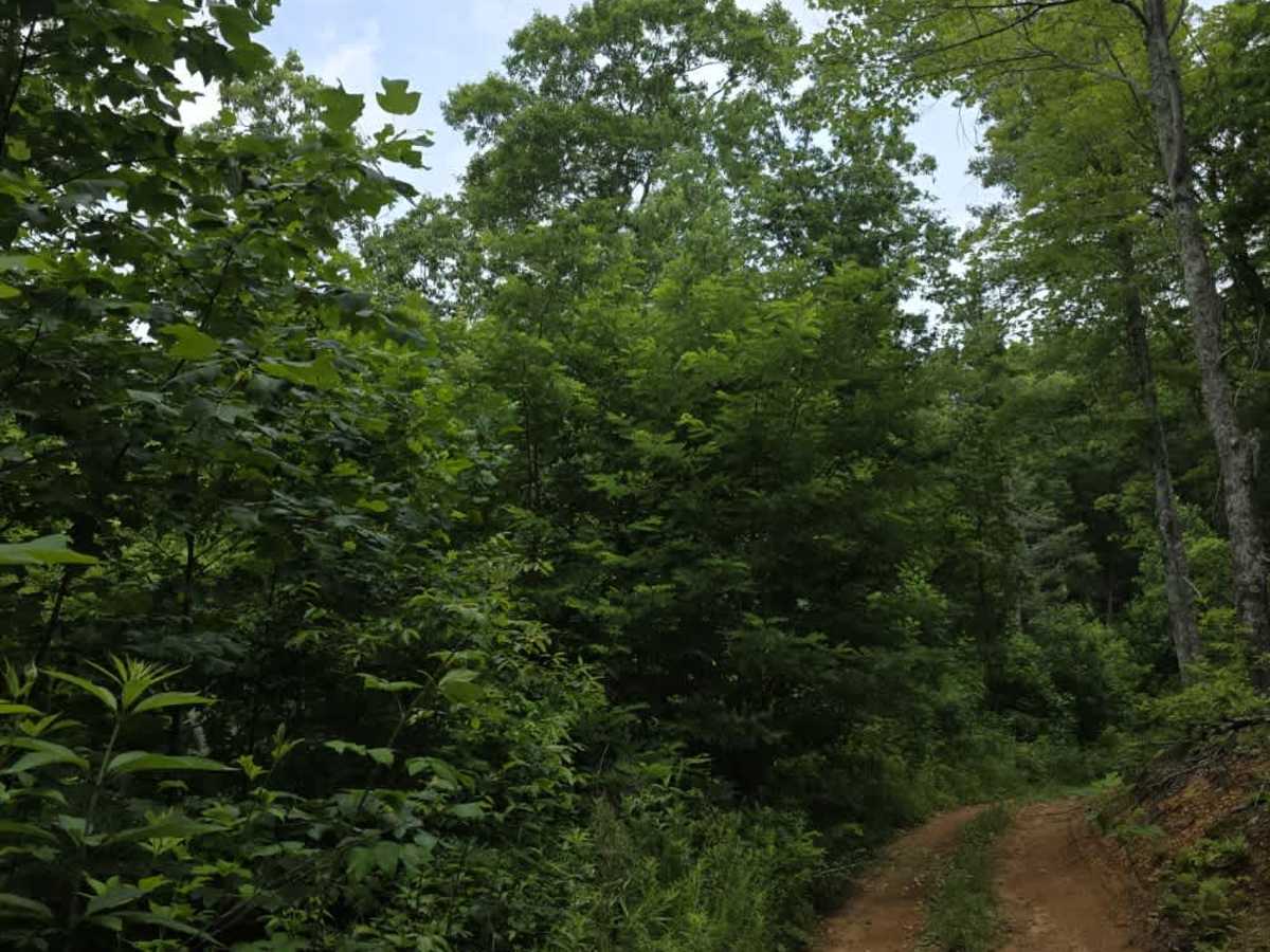
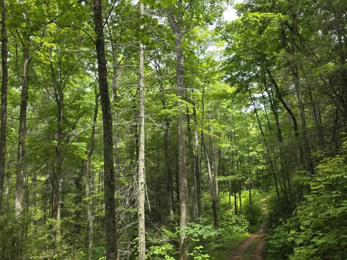
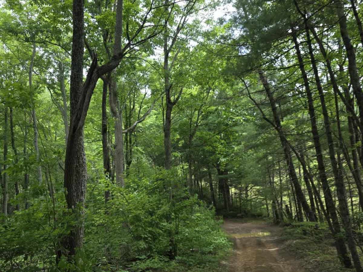
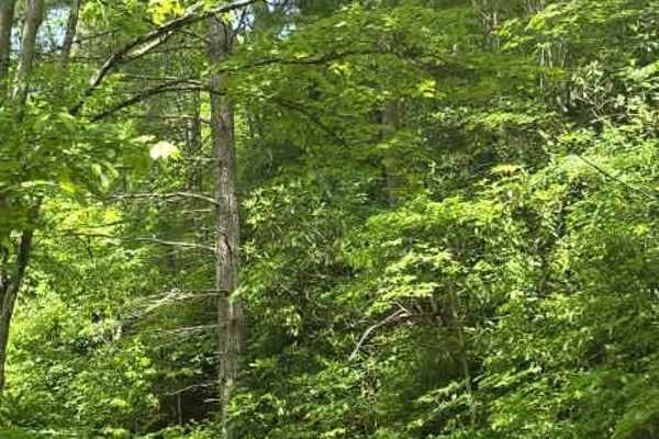
Pilgrim Lane is a moderately easy trail that begins as a maintained gravel road before transitioning to dirt upon entering Cherokee National Forest. From that point forward, the trail becomes more primitive, with several mud holes that collect rainwater and can become deeper or softer following wet weather. Despite these changes, the route remains generally manageable for properly equipped vehicles. The trail narrows to a single lane with no designated passing areas, making it important to be aware of oncoming traffic before committing to the route. Drivers will also encounter a few mild off-camber sections that require attention to vehicle placement but do not present significant technical challenges. Pilgrim Lane provides access to Devil's Kitchen Branch, making it an important connector for those looking to continue deeper into the trail system. Overall, the route offers a moderate step up from a maintained forest road while remaining approachable for most high-clearance vehicles.
Difficulty
Pilgrim Lane is rated a 2 due to its transition from maintained gravel to dirt, combined with multiple mud holes, narrow trail width, and occasional off-camber sections. While the mud holes can become more challenging after rainfall, they are generally manageable and do not create sustained technical obstacles. The single-lane corridor without passing opportunities requires driver awareness but does not significantly increase the trail's technical difficulty. Overall, the sustained experience aligns with an unmaintained dirt road featuring minor obstacles under 12 inches, suitable for most 4WD and high-clearance 2WD vehicles, with 4WD recommended during wet conditions.