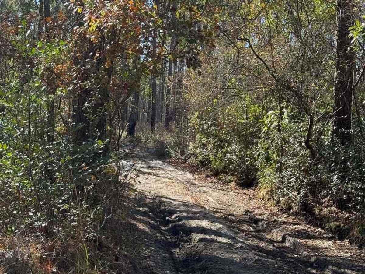
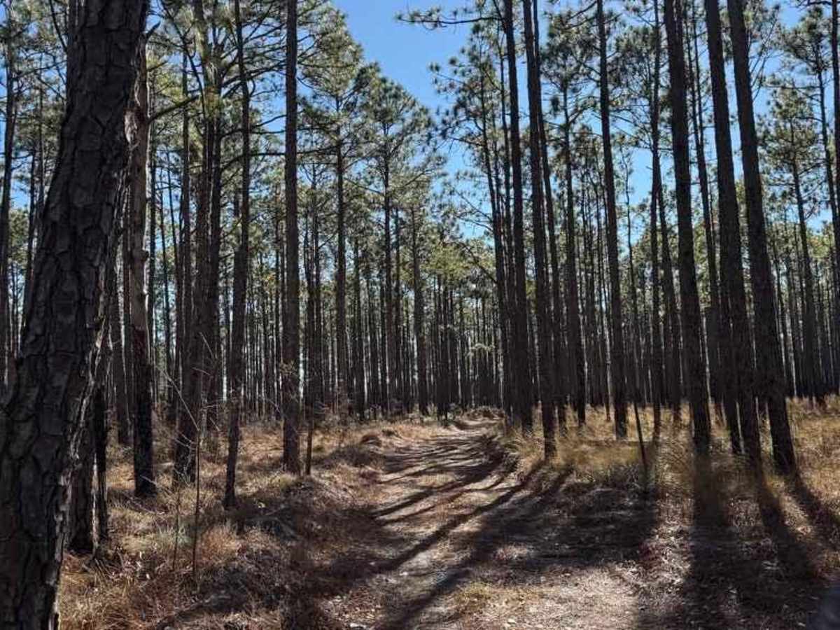
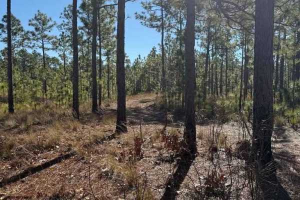
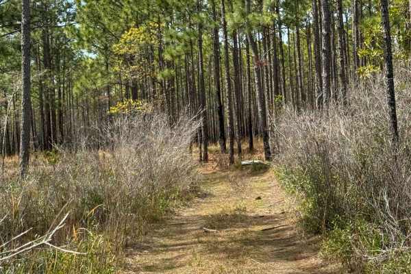
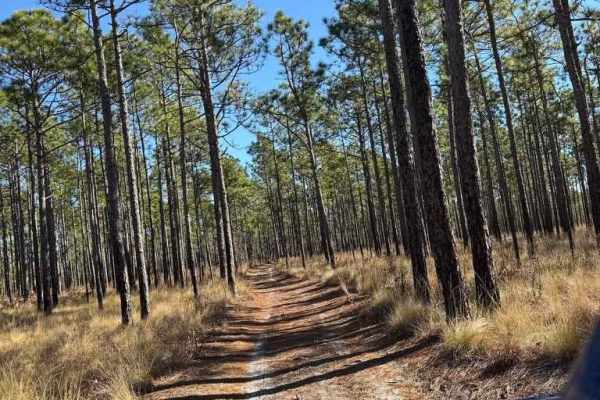
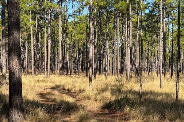
Trail Overview
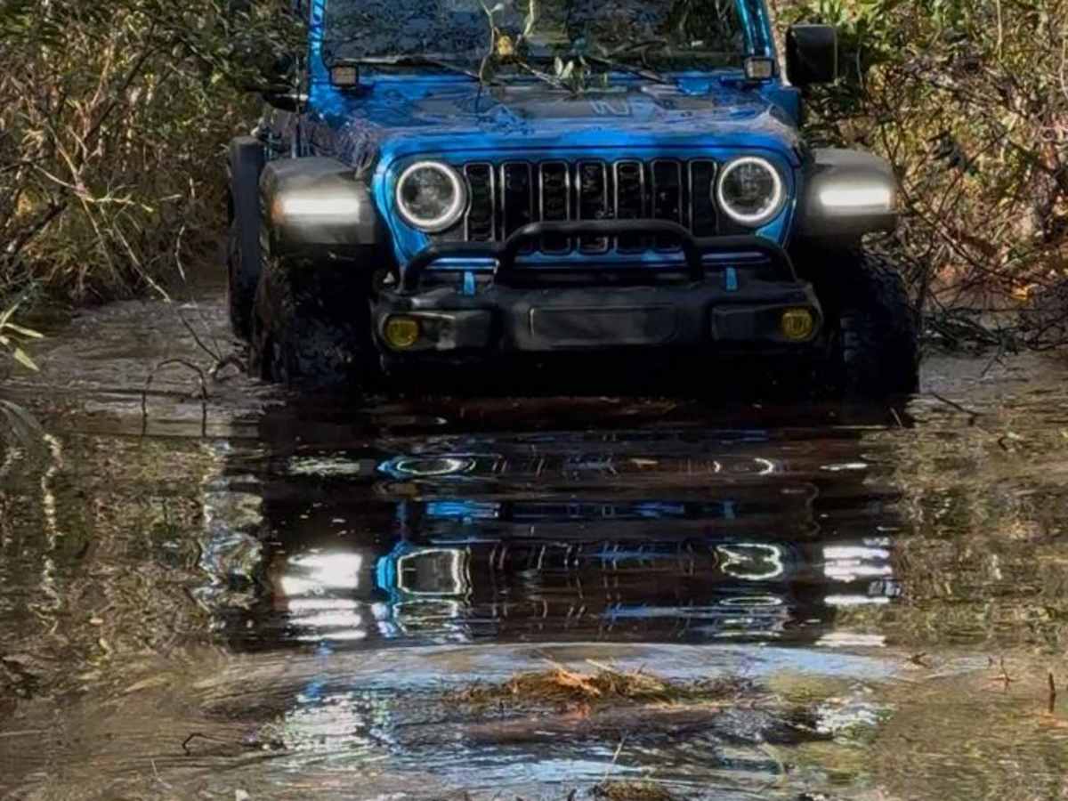
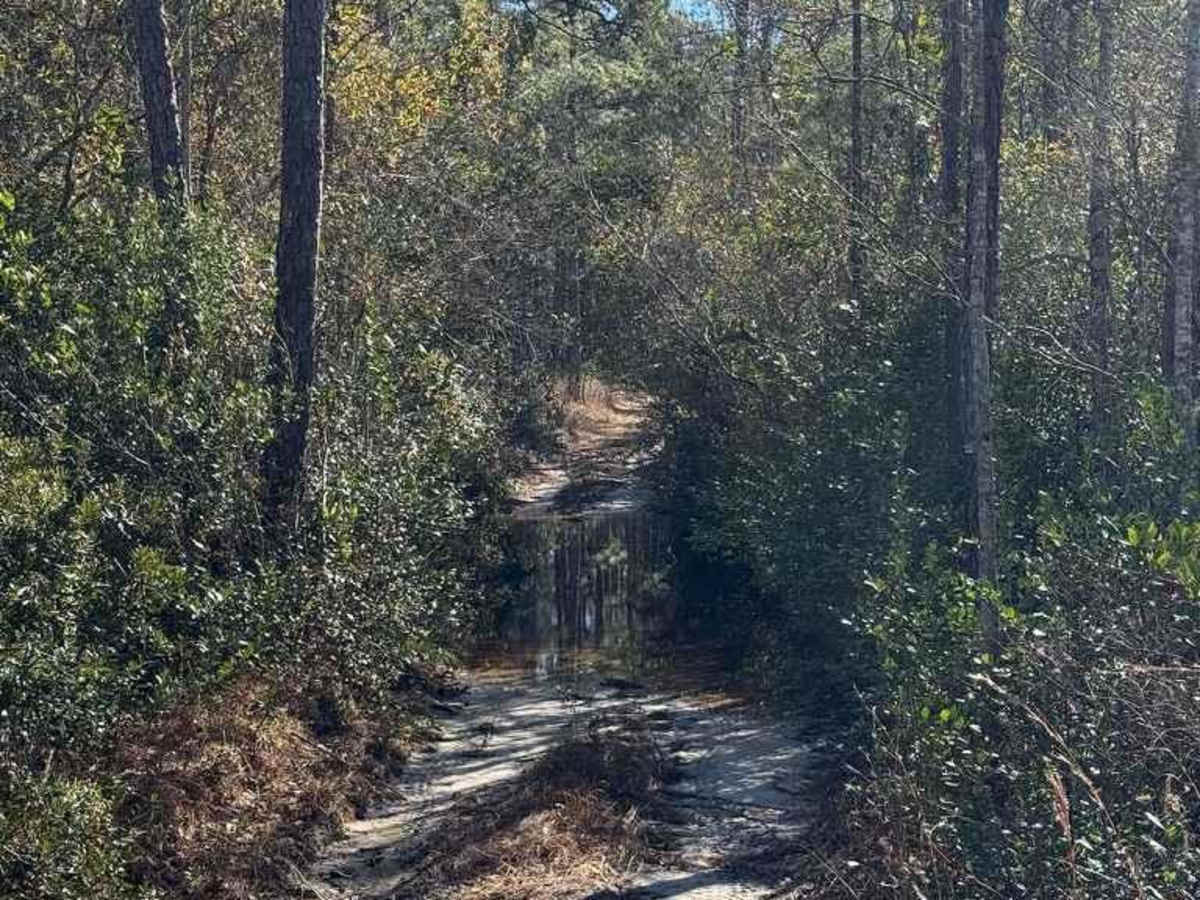
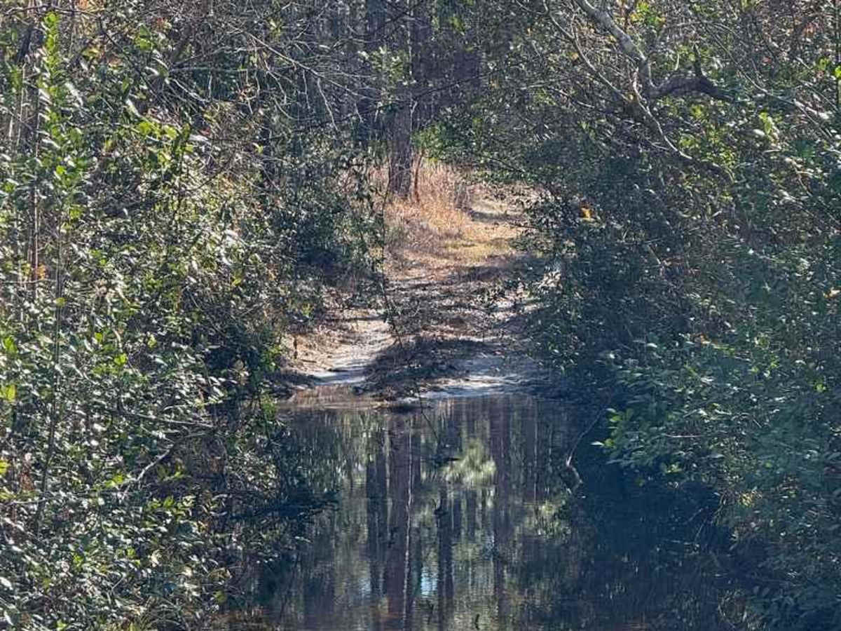
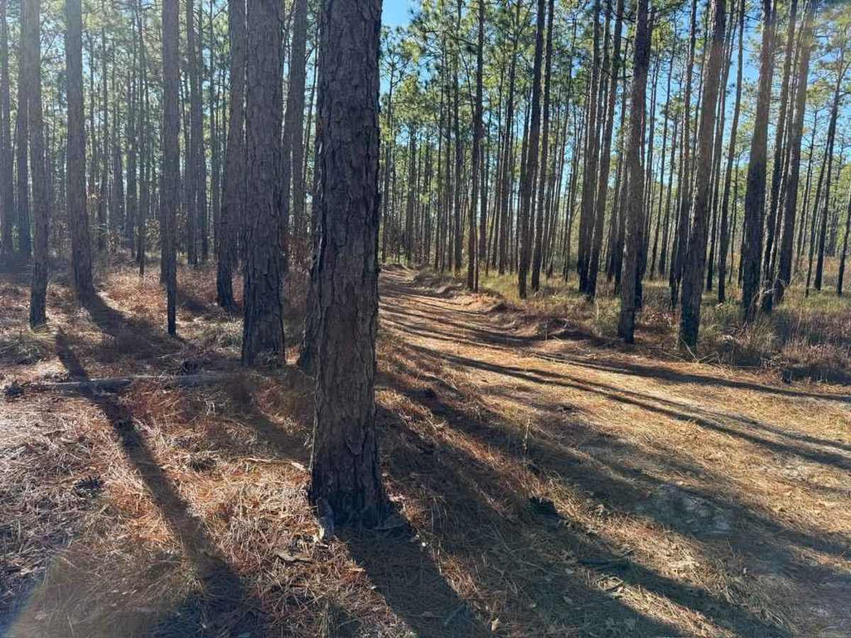
This is one of the entrances into Pettiford Creek State Forest and is a continuation of Bogue Road. This is one of the longer trails in the area, so the environment changes throughout the trail, ranging from sand to grass to a swamp. This trail features a longer water crossing that is between 12-20 inches deep depending on rainfall and the time of the year. The bottom of the stream is rather firm, making it easier to cross, however, it is rather narrow, so expect pinstripes on wider vehicles. Along with the water crossing, there are potential mud pits that range in depth depending on rainfall. This entrance trail also provides access to a different trail going to another area of Croatan National Forest and Pettiford Creek State Forest, however, the beginning of the trail is extremely narrow for full-size vehicles. Some of the main trails can be driven rather quickly, however, the lands are open for hunting and walking, so be cautious for hikers, animals, or other vehicles.
Difficulty
The water crossing is generally over 12 inches deep and may reach 18 inches deep depending on the time of the year and local rainfall. The mud holes present may also be upwards of a foot deep depending on recent rainfall. The majority of the trail is rather easy, however the water crossing and mud holes are unavoidable.