Parson Branch Road

Total Miles8
Technical Rating
2Easy
Best TimeSpring, Summer, Fall
Trail TypeFull-Width Road
Accessible By
Open Trail Map

Trail Overview

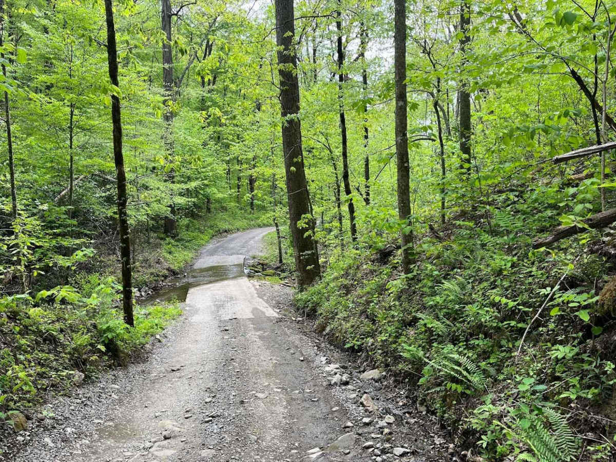
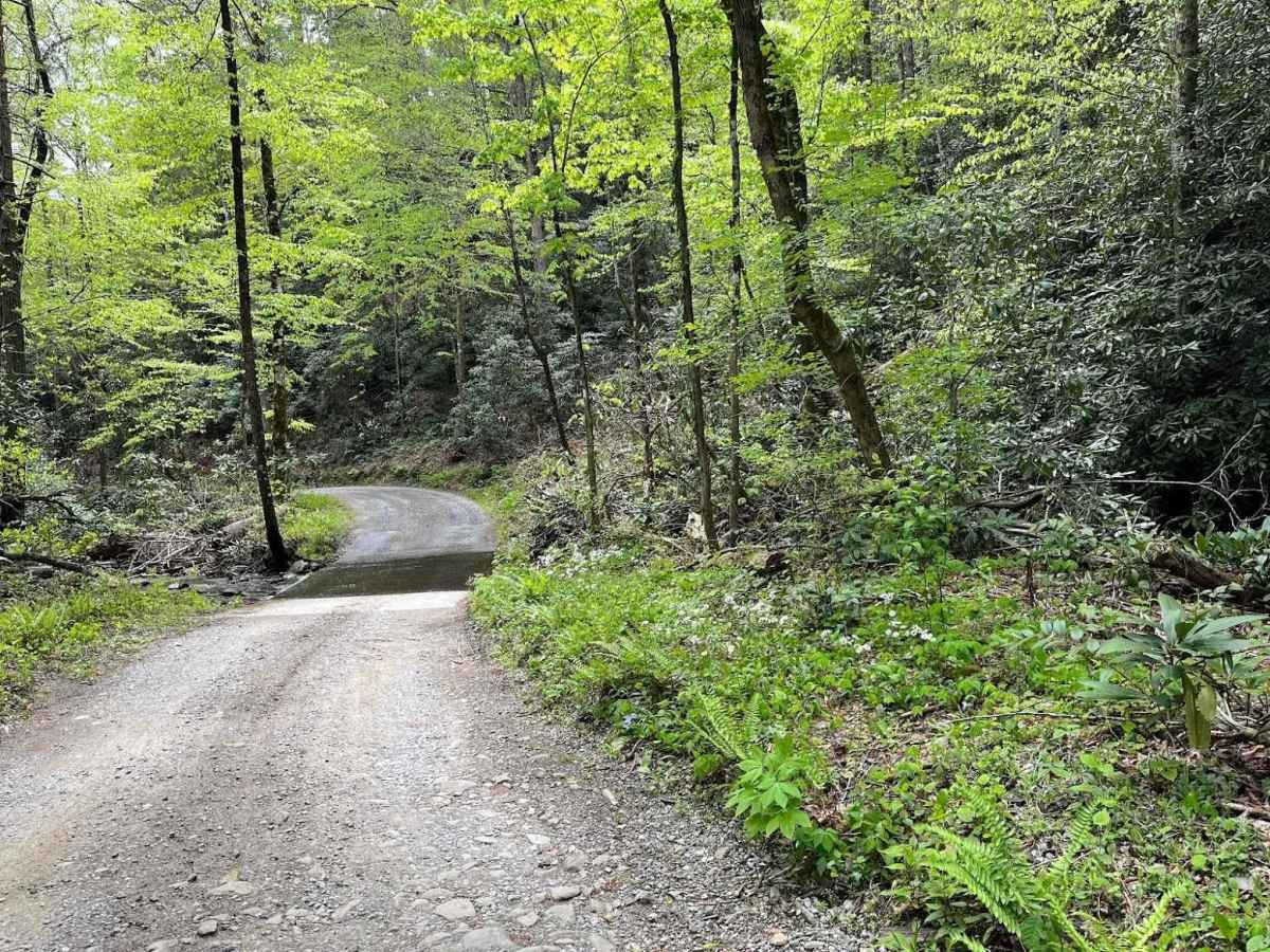
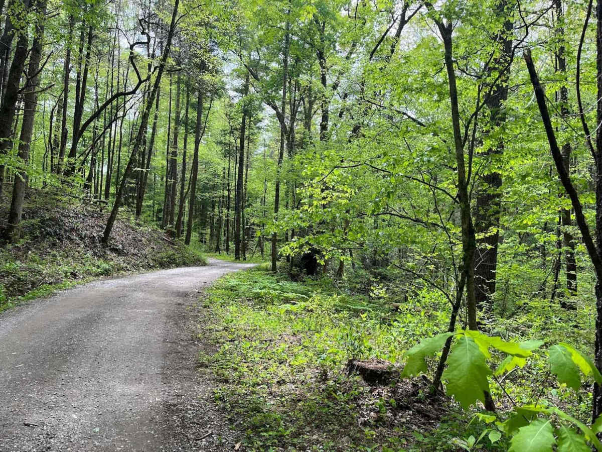
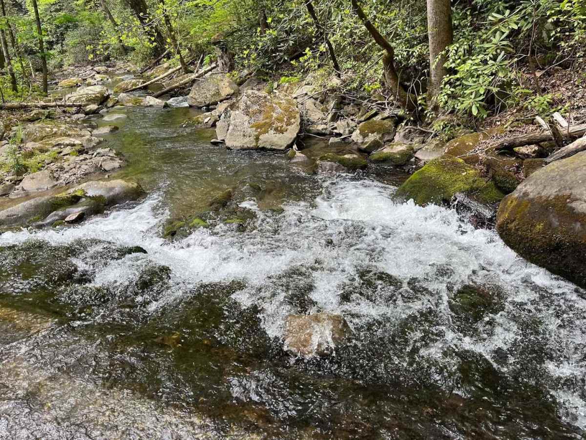
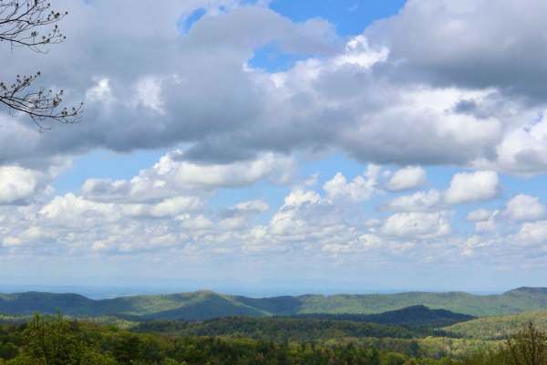
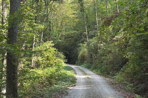
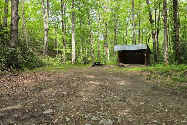
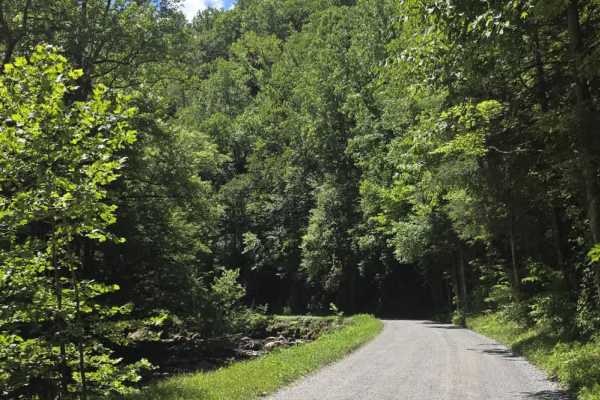
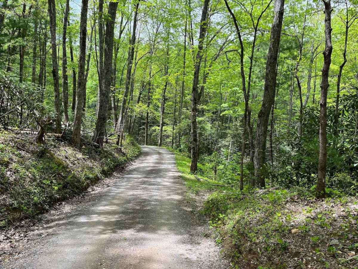
Parson Branch is a full gravel, one-way, scenic route that leads through the Smoky Mountains. The road is maintained, however, you may find the occasional tree down after heavy storms. This is usually not a problem. There are also many shallow water crossings, all less than 1ft deep. 4WD is not needed at all for the route and is friendly for stock-height vehicles.

Photos of Parson Branch Road

Difficulty

One vehicle wide with occasional pull-offs. One-way route. Many shallow water crossings, all less than 1ft deep. Possibility of trees on the road after heavy storms. If not for those mentioned, I would give this trail a 1 for its rating.

History

The route was completed in 1838. It connects Cades Cove to Tail of the Dragon.

Technical Rating

2

Status Reports

Add Status Report
Owen sayle
Aug 22, 2026
2017 GMC Seirra 1500
Open
Normal
Went back in late may was a literally a compacted gravel road with some water crossings. Any car with 3+ inches of clearance can do it if it’s not raining and the driver is somewhat competent.
Jeff Strader
Aug 21, 2026
Open
Crowded but nice drive through.
peter s
Aug 20, 2026
2023 Jeep Gladiator
Open
Normal
Very nice ride through the woods. Nice climbs and descents. Easy trail.
chad Williams
Aug 20, 2026
2019 Jeep Wrangler
Open
Muddy/Wet
This was a nice trail has a few water crossings fairly shallow. Some nice climbs and a few little twists
Don Britton
Aug 18, 2026
2023 Ford Bronco
Open
Normal
15 concrete water crossing 2-3". Stock outer banks 2-door Bronco - nothing difficult, no concerns for wife’s daily driver.
Thien Nguyen
Aug 15, 2026
2026 Ram 2500
Open
Rough/Deteriorated
Easy and fun trail. A lot of cross river
Kenny Gilbraith
Aug 11, 2026
2019 Jeep Wrangler
Open
Dylan Maybee
Aug 09, 2026
Temporarily Closed
Closed GatePosted Sign
Gate is chained closed
Jolly Giant
Jul 25, 2026
2022 Toyota 4Runner
Temporarily Closed
Closed GatePosted Sign
Closed due to high water.
Bradley King
Jul 09, 2026
2002 nissan frontier
Open
Muddy/Wet
Gravel road with some steep inclines and ruts from water. Did use 4x4 on the includes but might not be needed. Do recommend a vehicle with good ground clearance like a truck or suv.
Wesley Lombardo
Jun 26, 2026
2019 Nissan Frontier
Open
Normal
Some washouts but not too bad. Cades Cove was surprisingly empty for a Friday afternoon.
Brian Campbell
Jun 20, 2026
2025 Jeep Wrangler
Open
Normal
This was my first trail for my first Jeep. Had a good time. Need to take the road through Cades Cove to get to there. Cades Cove was busy with traffic but once we got onto the trail is was mostly just us. Caught up to a few other drives about half way through. Enjoyed the Tail of The Dragon afterwards. An excellent beginning for our Jeep adventures. Looking forward to many more.
Jason Derrough
Jun 14, 2026
2022 Jeep Wrangler
Open
Normal
Easy trail, nothing crazy, we did see a couple bears.
Brian Ison
Jun 09, 2026
2020 Jeep Gladiator Rubicon launch
Open
Trail conditions were good. Should have aired down for comfort. Seeing a Black bear and her cub along the side of the trail was a bonus.
Steven Miller
May 23, 2026
2026 Jeep Rubicon X
Open
NormalMuddy/Wet
Turkey and bear along the route today.

Parson Branch Road Trail can be accessed by the following ride types:

  • 60 Inch
  • High Clearance
  • Full Width

Parson Branch Road Map

The onX Offroad Difference

onX Offroad combines trail photos, descriptions, difficulty ratings, width restrictions, seasonality, and more in a user-friendly interface. Available on all devices, with offline access and full compatibility with CarPlay and Android Auto. Discover what you're missing today!

Open Trail Map