Trail Overview
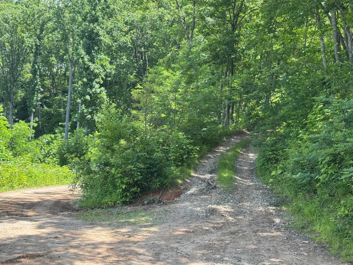
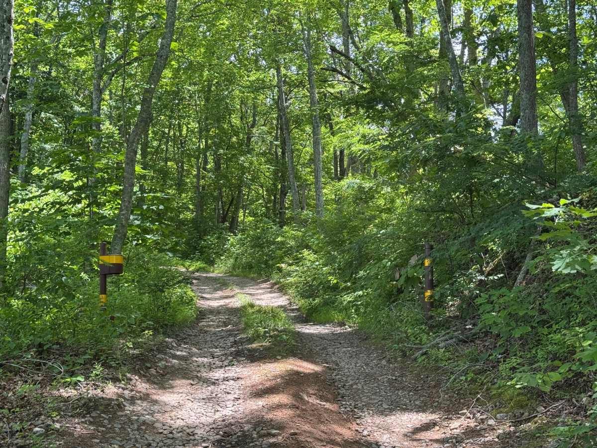
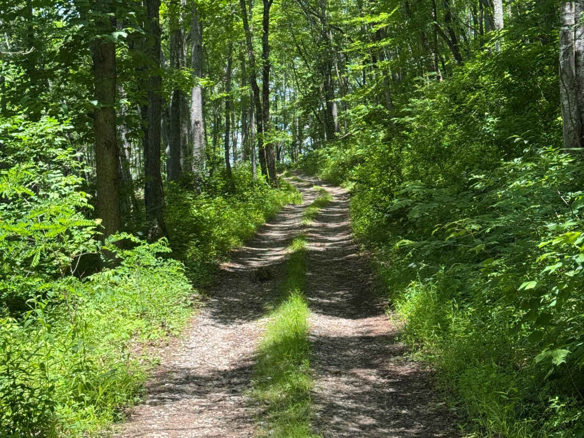
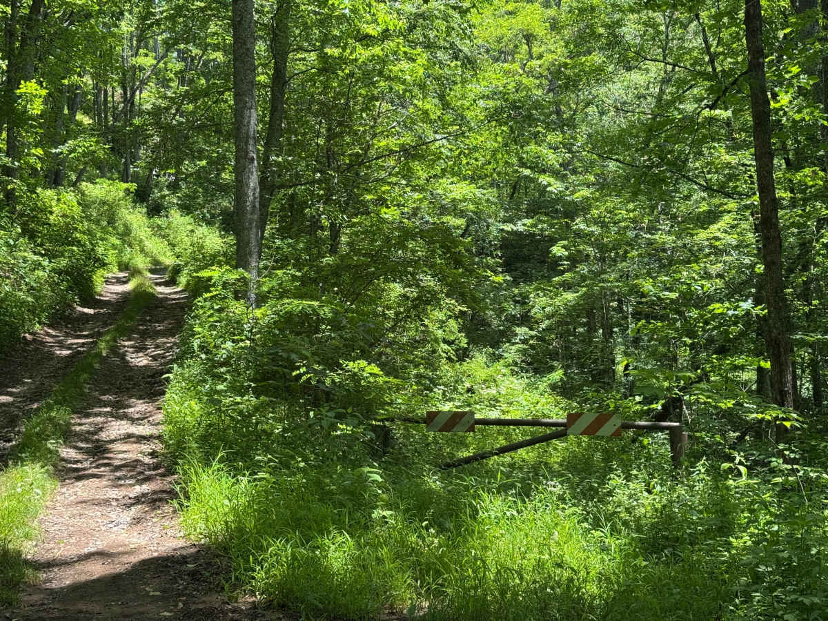
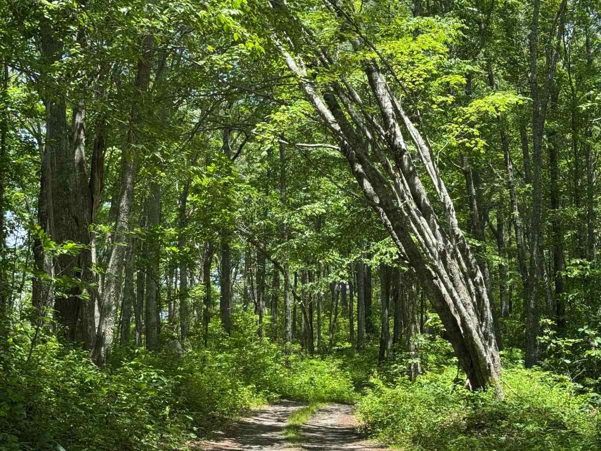
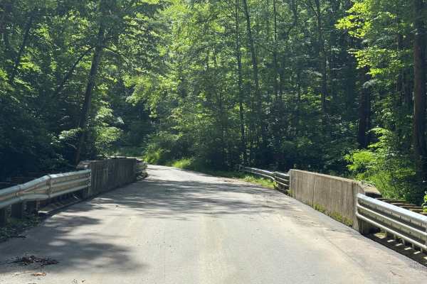
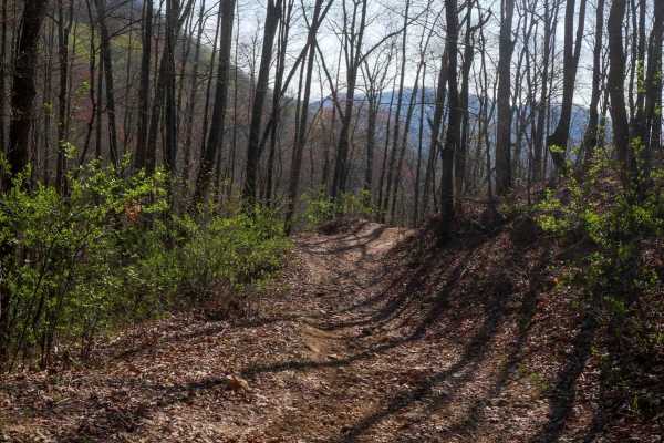
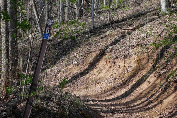
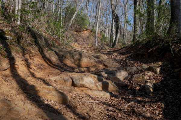
Old Bald Ridge Trail is a mildly used out-and-back two-track through the Nantahala National Forest. The trail is accessed from Moses Creek Road, which is asphalt up to the entry into the National Forest, where its designation changes to FS4651. 3.2 miles up Moses Creek Road, the Old Bald Ridge trail splits off to the right with a moderate climb. Old Bald Ridge trail is mostly gravel and rock with some muddy spots after a rain. Plenty of runoff berms will keep your attention on the trail. The area is densely forested with several spots to view the surrounding mountains and valleys along the way. At the end of the trail, there is a permanently closed gate about 100 yards before the trail opens into a large clearing that is Old Bald Ridge. Old Bald Ridge provides expansive views of the surrounding mountains, ridges, gaps, and valleys. There are several side trails that show signs of recent camping activity. Street-licensed vehicles only.
Difficulty
This trail features numerous runoff berms that may cause longer wheelbase vehicles to bottom out. Small mudholes often form on the uphill side of the berms, reaching a foot or more deep after heavy rain, though they generally have solid bottoms.
History
The most common theory of how Appalachian balds formed is by natural means, but several have been cleared by farmers or ranchers for unknown reasons.