Lower Moses Creek - FS 4651

Total Miles3.2
Technical Rating
2Easy
Best TimeSpring, Summer, Fall, Winter
Trail TypeFull-Width Road
Accessible By
Open Trail Map

Trail Overview

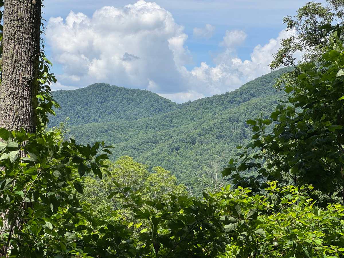
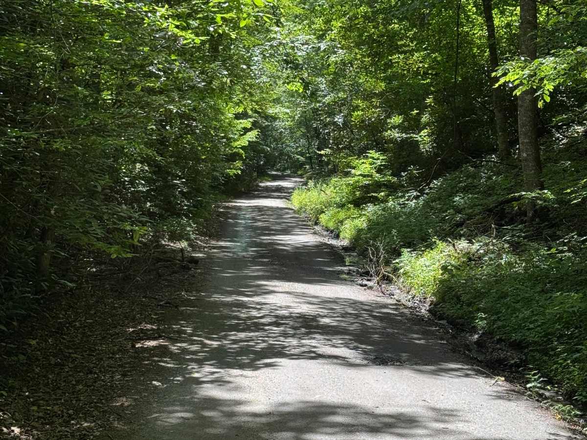
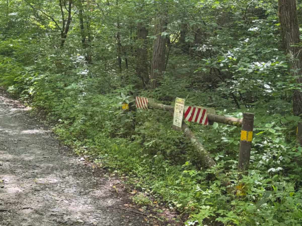
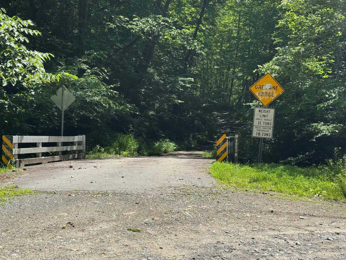
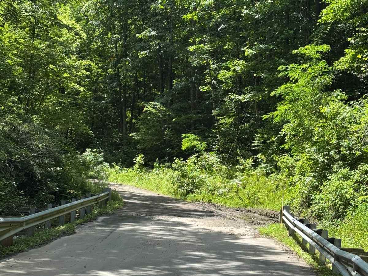
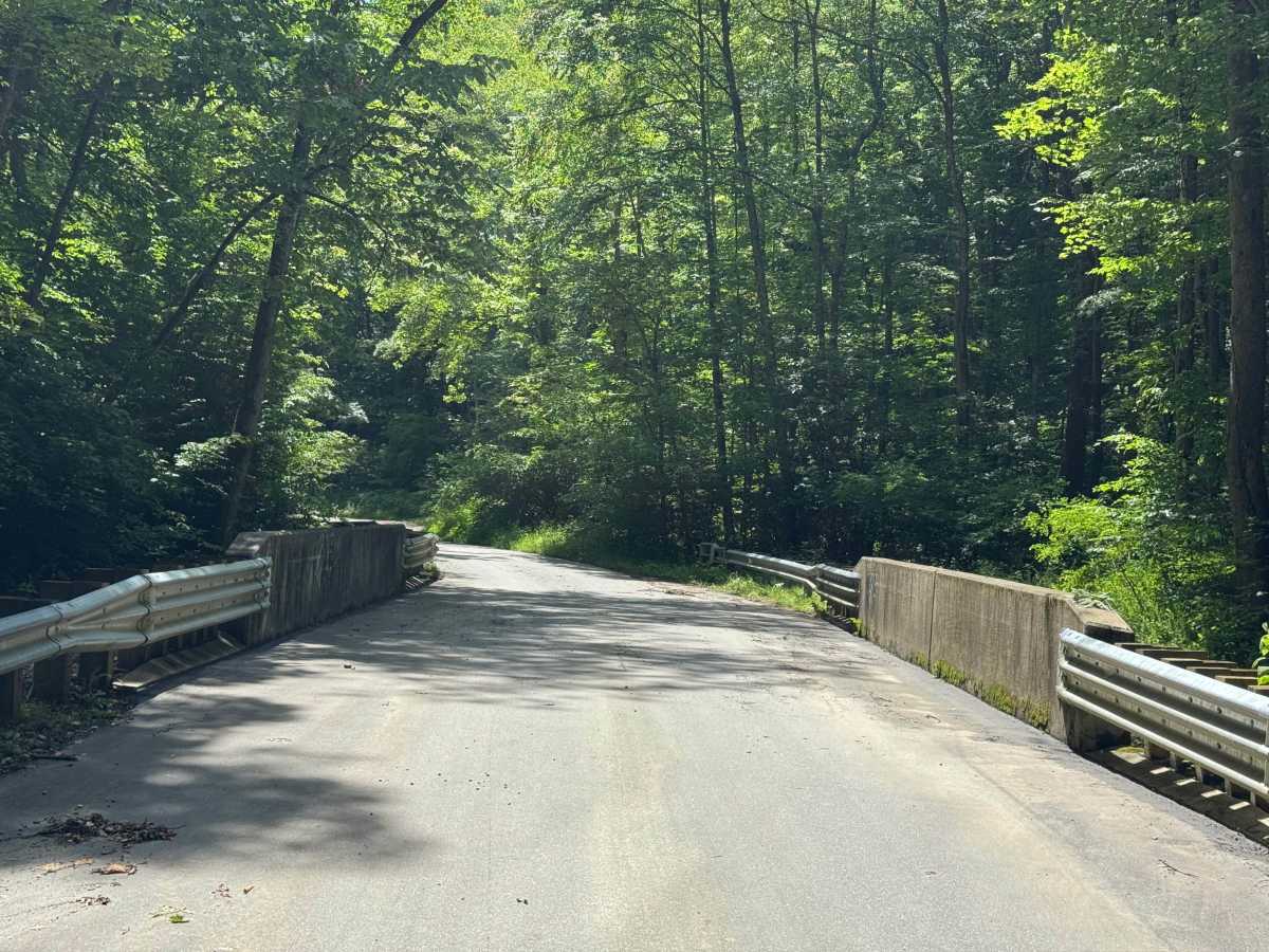
Lower Moses Creek - FS 4651 is a 3.2-mile point-to-point route that follows a single-lane road with places to pass over a lightly maintained, packed dirt and gravel surface. Passing through heavily forested terrain, the route is rated easy and features a smooth driving surface with no significant obstacles. Nice views of the surrounding mountains add variety to the otherwise wooded drive while maintaining the quiet character of a backcountry forest road. The route leads directly to the Old Bald Ridge - FS 4652 trailhead, making it a convenient access road for visitors continuing beyond the end of the drive. Access is restricted to highway-legal vehicles only.

Photos of Lower Moses Creek - FS 4651

Difficulty

Generous single-lane road with places to pass easily.

Technical Rating

2

Lower Moses Creek - FS 4651 Trail can be accessed by the following ride types:

  • High Clearance
  • Full Width

Lower Moses Creek - FS 4651 Map

The onX Offroad Difference

onX Offroad combines trail photos, descriptions, difficulty ratings, width restrictions, seasonality, and more in a user-friendly interface. Available on all devices, with offline access and full compatibility with CarPlay and Android Auto. Discover what you're missing today!

Open Trail Map