Trail Overview
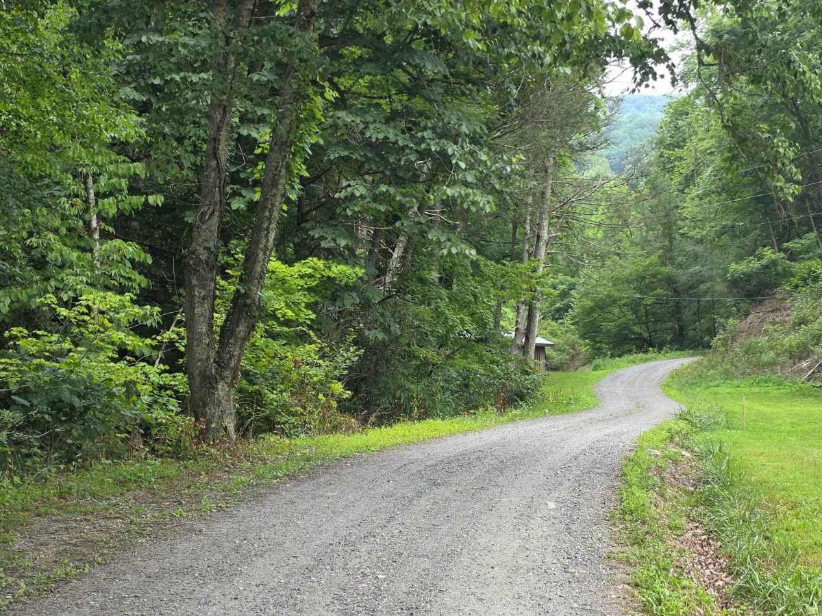
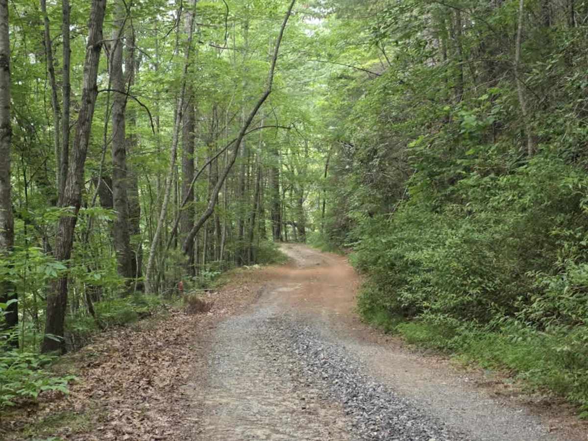
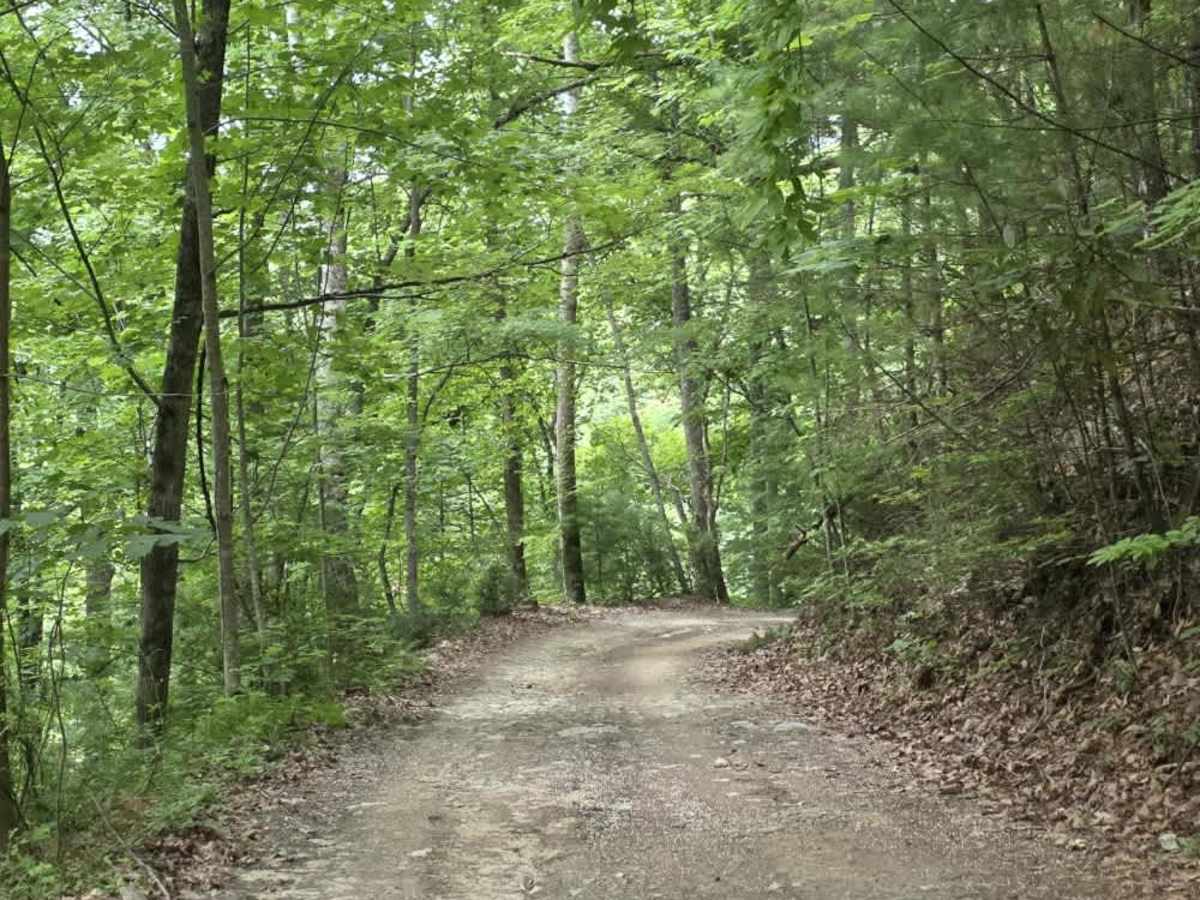
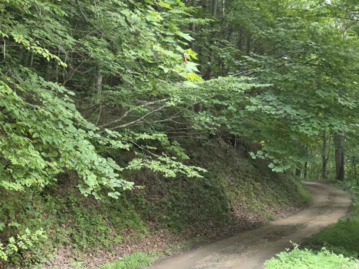
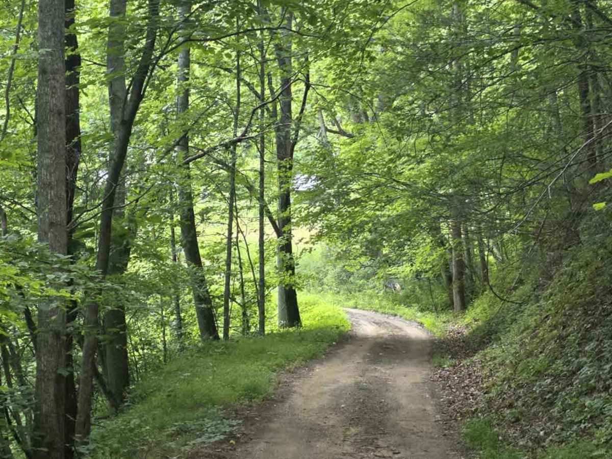
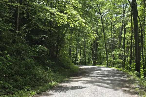
Hopis Branch is an easy out-and-back route that begins as a graded gravel road before transitioning to dirt farther along the trail. The route remains primarily single-lane with limited passing opportunities, so drivers should stay alert for oncoming traffic and be prepared to yield when necessary. Minor washouts are present in a few areas, but they are generally manageable and do not create significant technical difficulty.
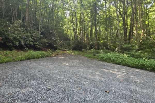
The trail runs alongside private property for portions of the route, so drivers should remain on the established path, keep speeds reasonable, and respect nearby landowners. Hopis Branch ends at a private gate with a small turnaround area, requiring drivers to reverse direction and retrace the route. Overall, this is a straightforward, low-difficulty trail with only light surface variation.
Difficulty
Hopis Branch is rated a 1 due to its generally maintained surface, gentle grades, and lack of sustained obstacles. While the trail transitions from graded gravel to dirt and includes a few minor washouts, these features do not present meaningful clearance or traction challenges under normal conditions. The single-lane width and limited passing opportunities require driver awareness but do not increase technical difficulty. Overall, the sustained experience aligns with an easy dirt or rocky road suitable for most 4WD and high-clearance 2WD vehicles, and it remains manageable for 2WD vehicles in favorable conditions.