Trail Overview
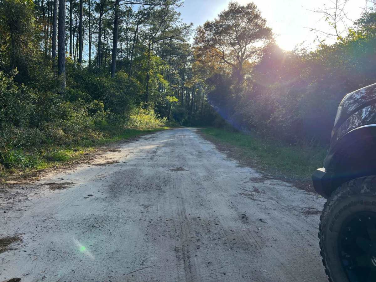
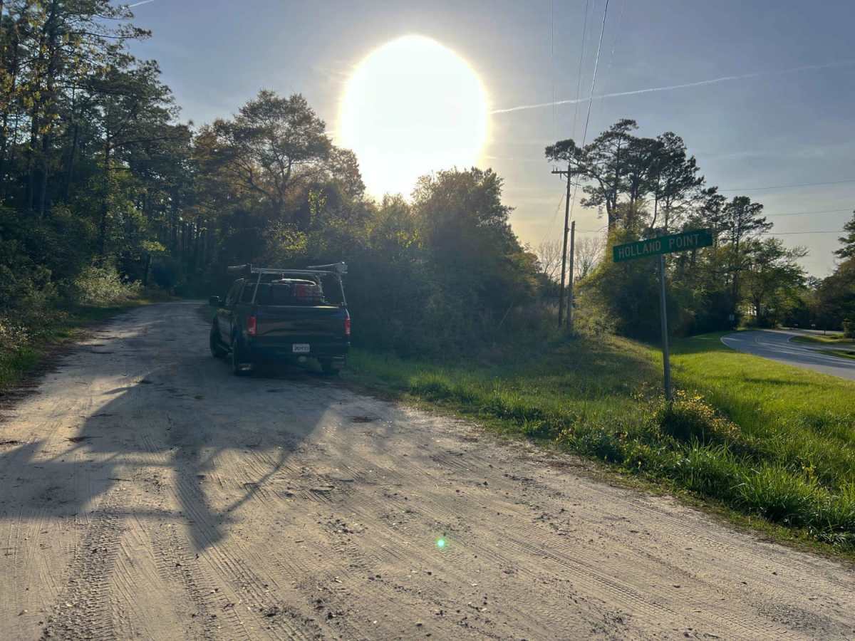
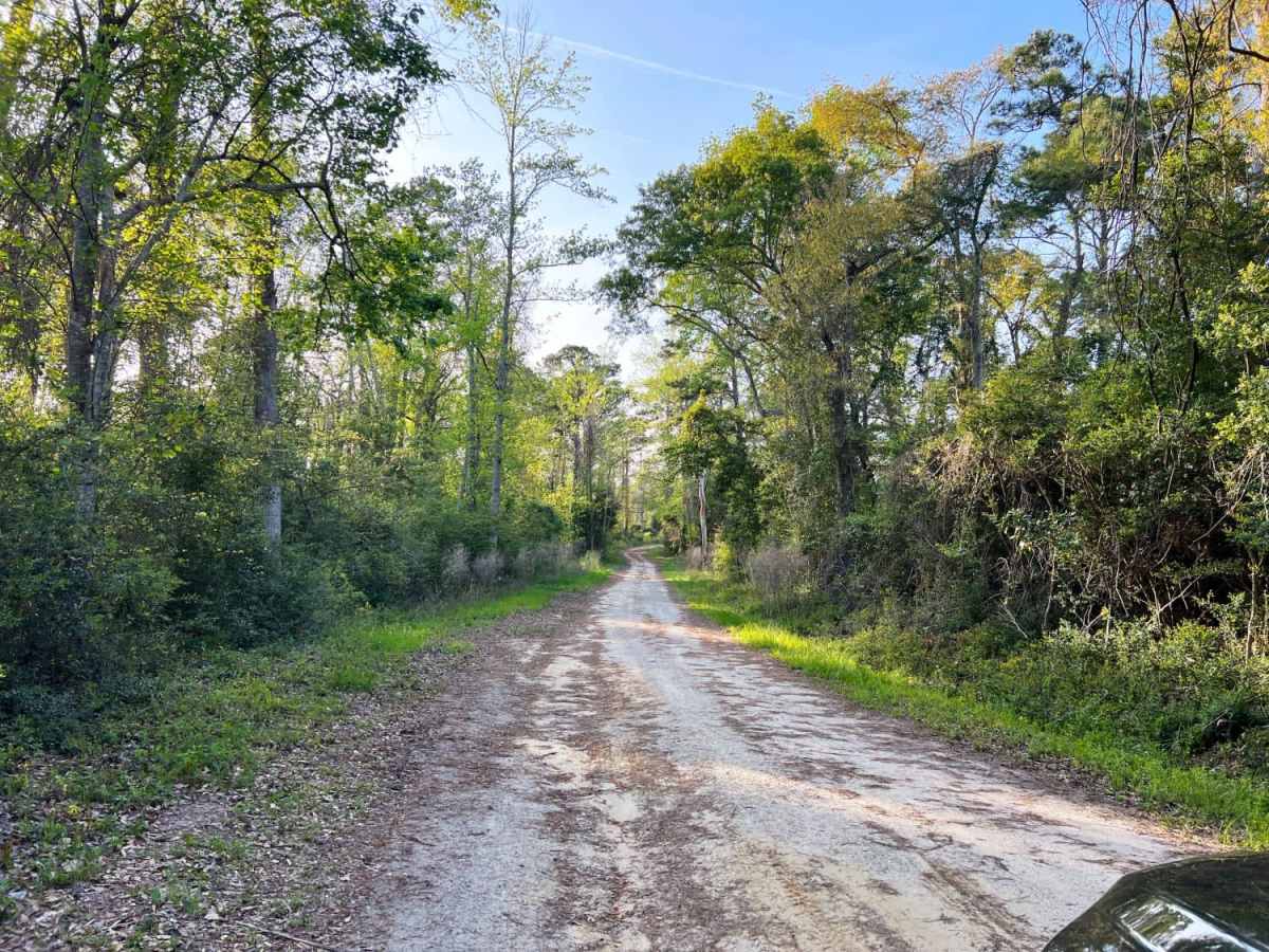
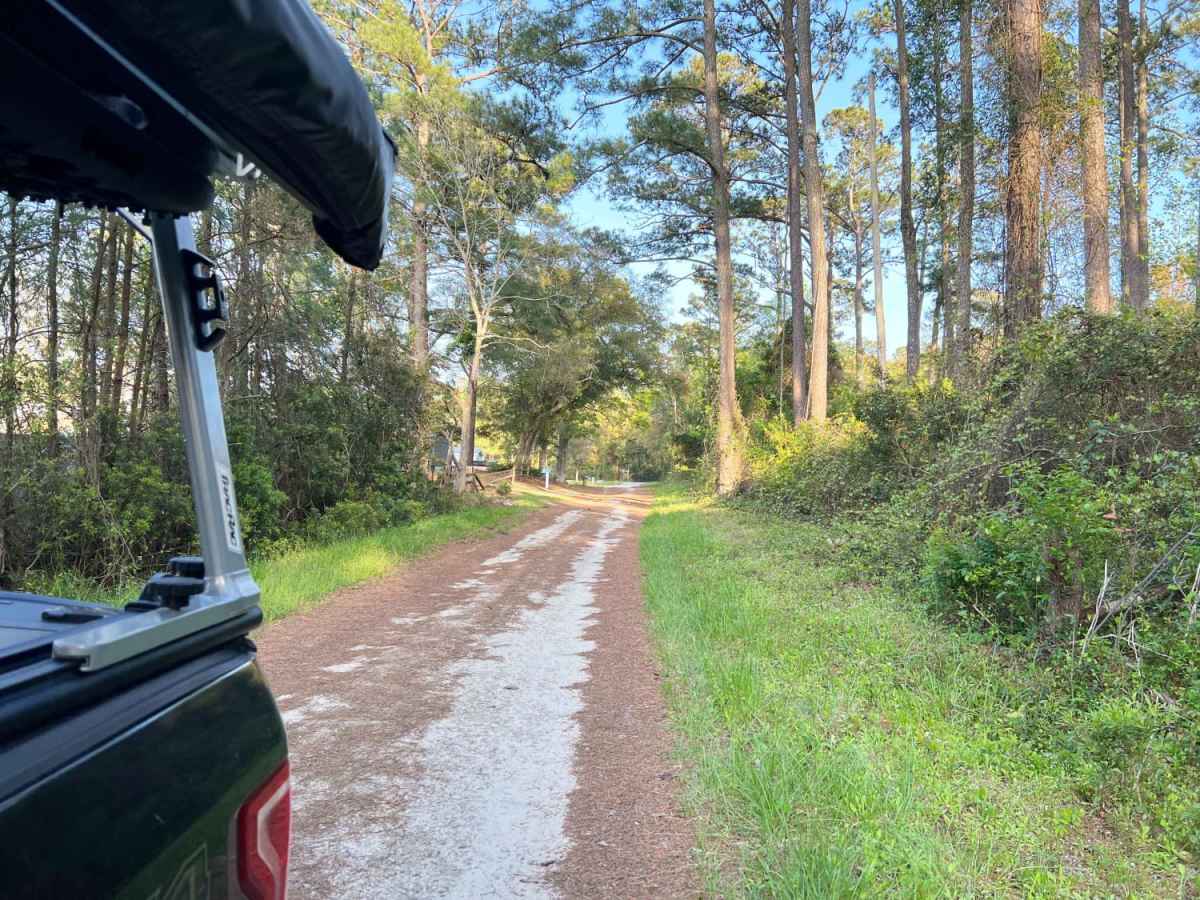
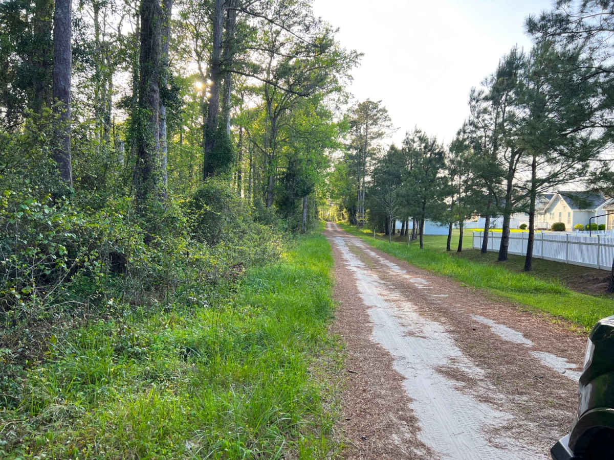
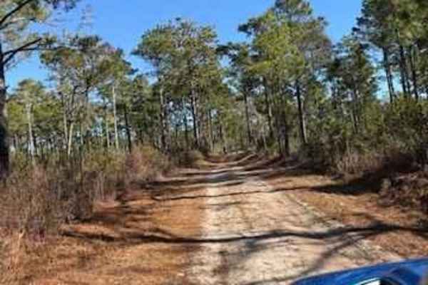
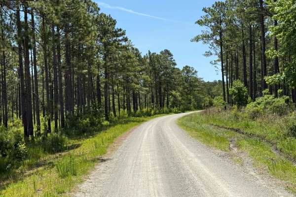
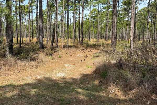
Holland Point is a scenic 1.1-mile out-and-back coastal trail ideal for beginners, families, and anyone seeking a relaxed drive with scenic water views and wildlife viewing opportunities near Cape Carteret, North Carolina. Winding through a dense coastal forest, this flat route offers a straightforward drive with less than five feet of overall elevation gain, making it highly accessible for most vehicles. The route begins near State Road 153 and gently heads northwest towards Pettiford Creek Bay, maintaining an easy technical rating of 1 out of 10. Along the way, drivers will navigate a dirt surface that remains mostly level, though a few large potholes in the middle of the trail require some basic caution.
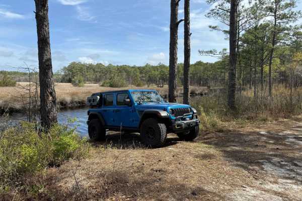
While the trail is passable for standard two-wheel-drive vehicles, four-wheel-drive vehicles, and SxSs alike, drivers should remain mindful of local conditions and respect the surrounding area. The trail runs closely along the boundaries of private property and serves as the primary access point for local landowners, making quiet and respectful driving essential. As the trail nears its end, the coastal forest opens up to reveal a stunning view of Pettiford Creek Bay, providing an excellent spot to pause and look for coastal birds and other local wildlife. This short excursion is suitable year-round, but checking local weather is recommended as coastal rain can affect the dirt surface and expand the existing potholes.
Access Description
This trail runs along the edges of private property and serves as the sole access road for local landowners. Visitors must remain on the designated road, drive slowly and quietly, and respect private property boundaries. There are no fees or permits required, but parking is extremely limited and must not block residential access.


 Offroad