Beachertown (FS 308)

Total Miles3.3
Technical Rating
2Easy
Best TimeSpring, Summer, Fall, Winter
Trail TypeFull-Width Road
Accessible By
Open Trail Map

Trail Overview

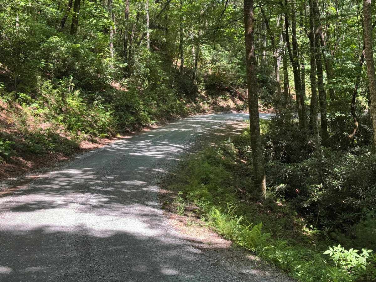
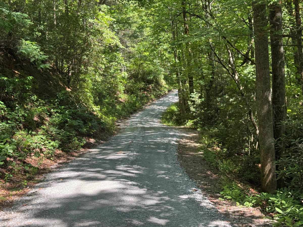
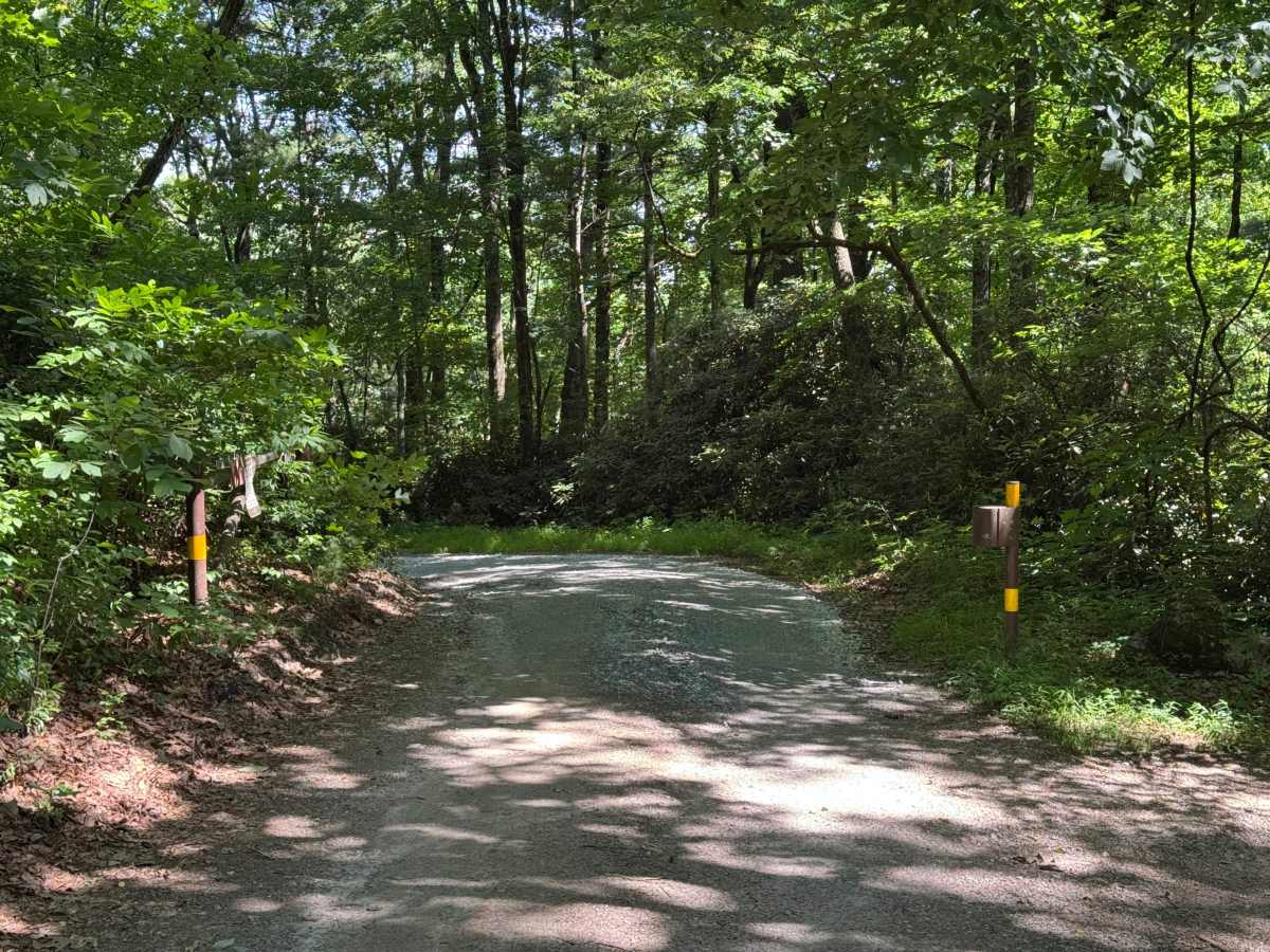
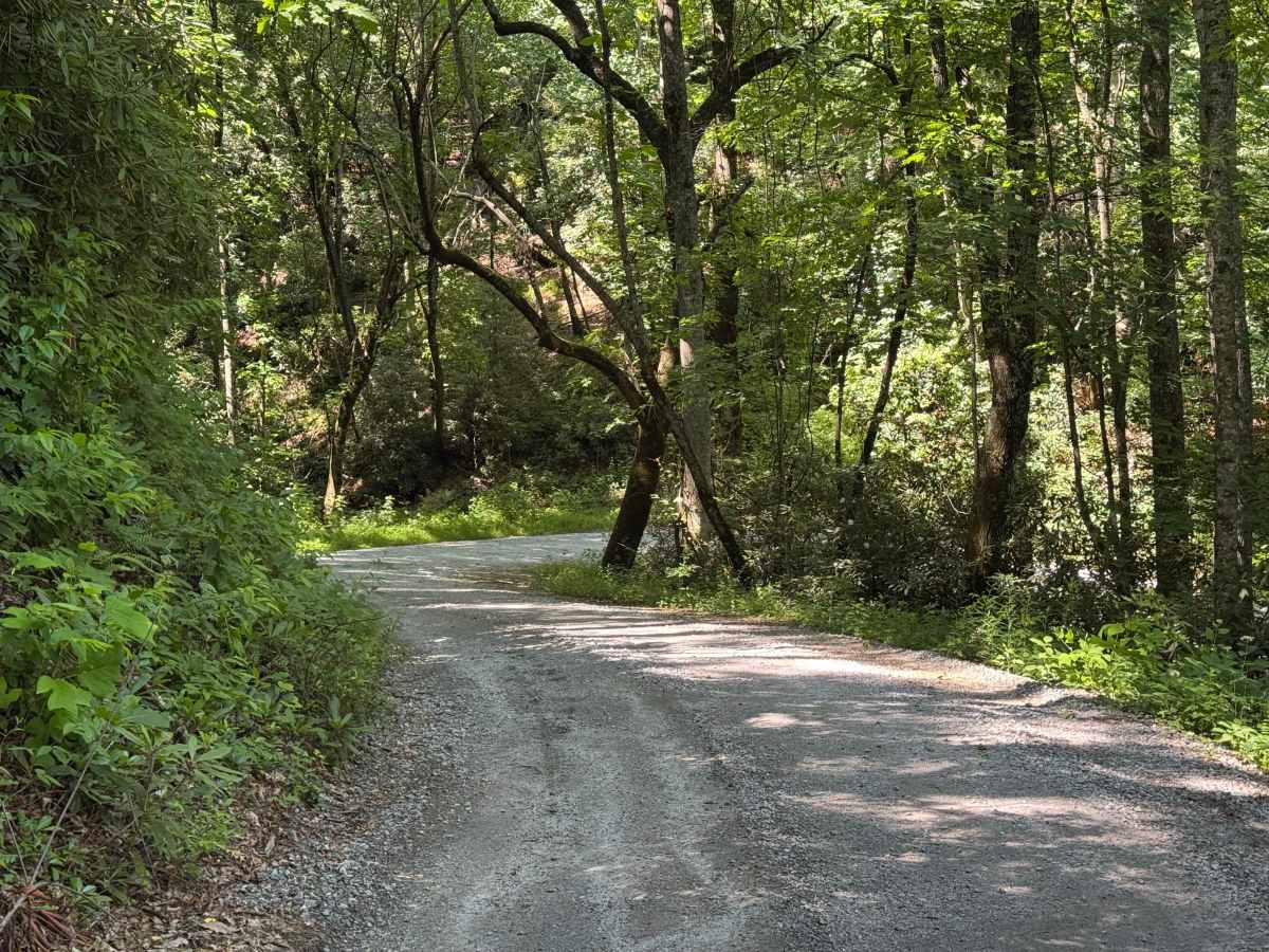
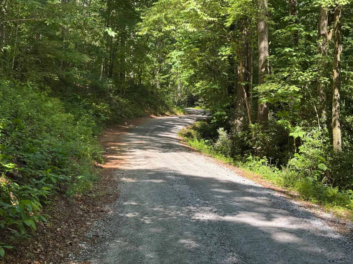
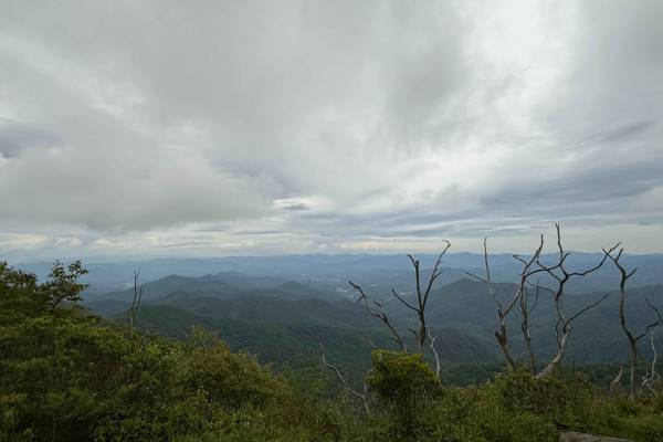
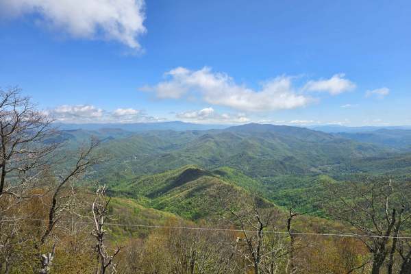
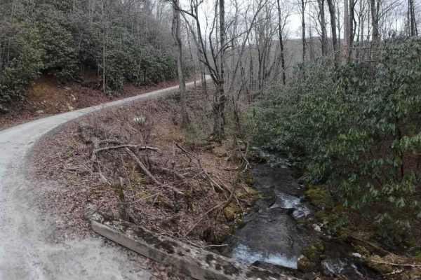
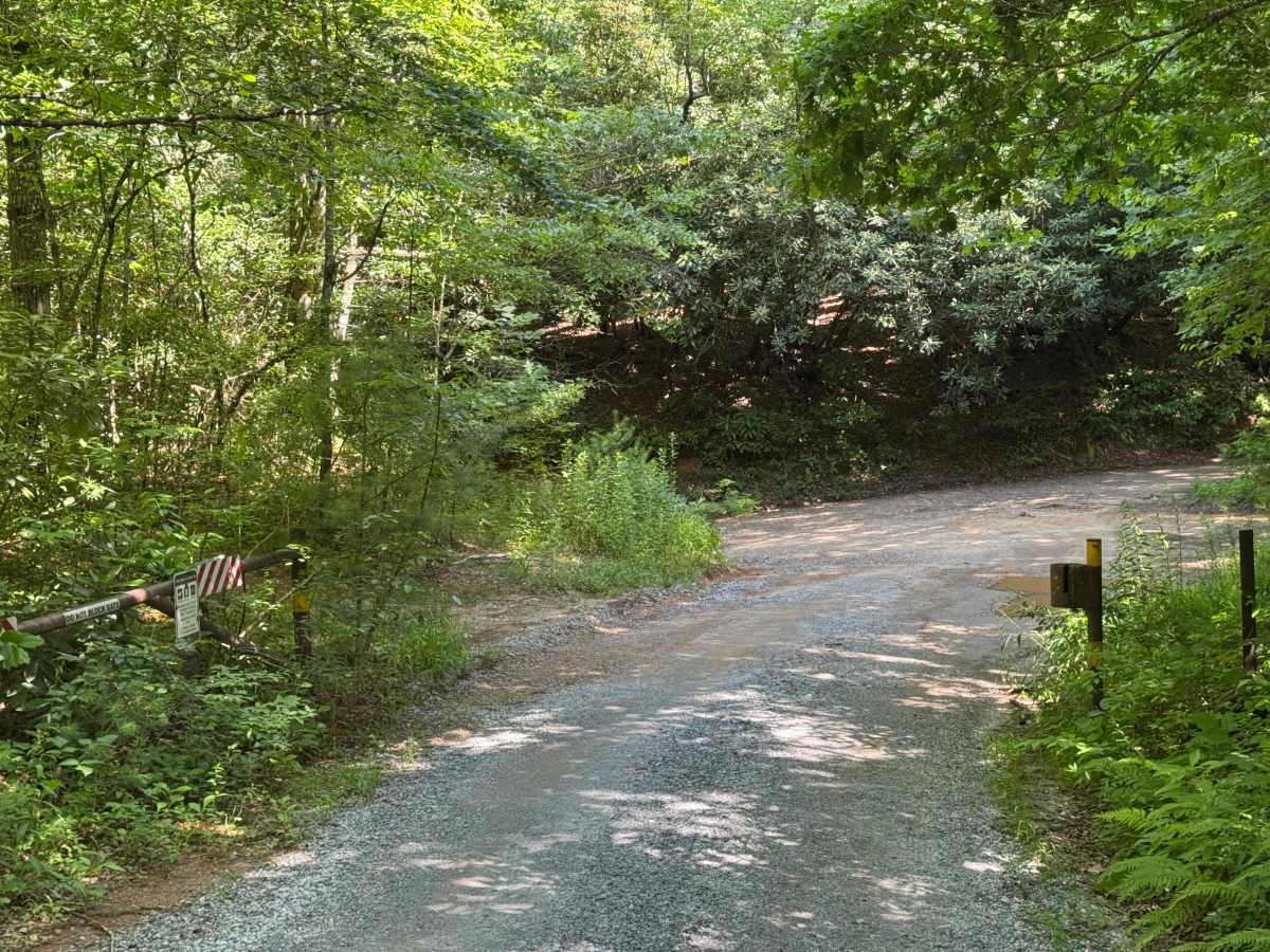
A scenic 3.3-mile unpaved connector road running through the Nantahala National Forest between Junaluska Road and Wayah Road.

Photos of Beachertown (FS 308)

Difficulty

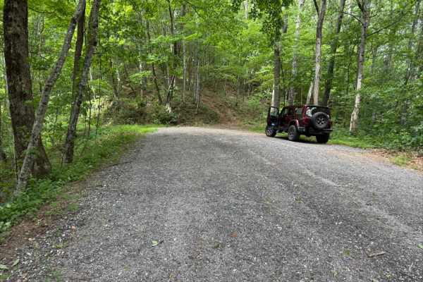
Generous single lane road with places to pass easily.

Technical Rating

2

Beachertown (FS 308) Trail can be accessed by the following ride types:

  • High Clearance
  • Full Width

Access Description

Beachertown (FS 308) is a designated National Forest System Road managed by the U.S. Forest Service. It is open to street-legal 4x4 vehicles, high-clearance SUVs, and licensed motorcycles. Off-highway vehicles (OHVs) without license plates are generally not permitted on open FS roads in this district unless specified by the Motor Vehicle Use Map (MVUM). While the route is typically open year-round, winter weather or active logging and maintenance can cause temporary closures. There are no fees or permits required to drive the road. Cellular reception is highly limited or non-existent, so downloading offline maps prior to arrival is highly recommended.

Beachertown (FS 308) Map

The onX Offroad Difference

onX Offroad combines trail photos, descriptions, difficulty ratings, width restrictions, seasonality, and more in a user-friendly interface. Available on all devices, with offline access and full compatibility with CarPlay and Android Auto. Discover what you're missing today!

Open Trail Map