Trail Overview
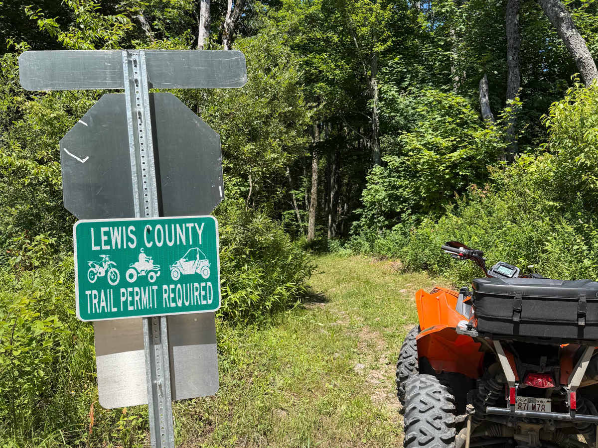
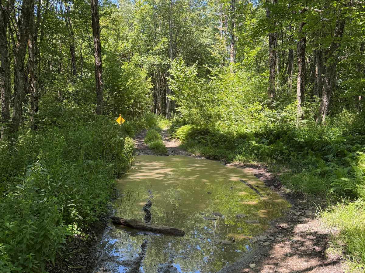
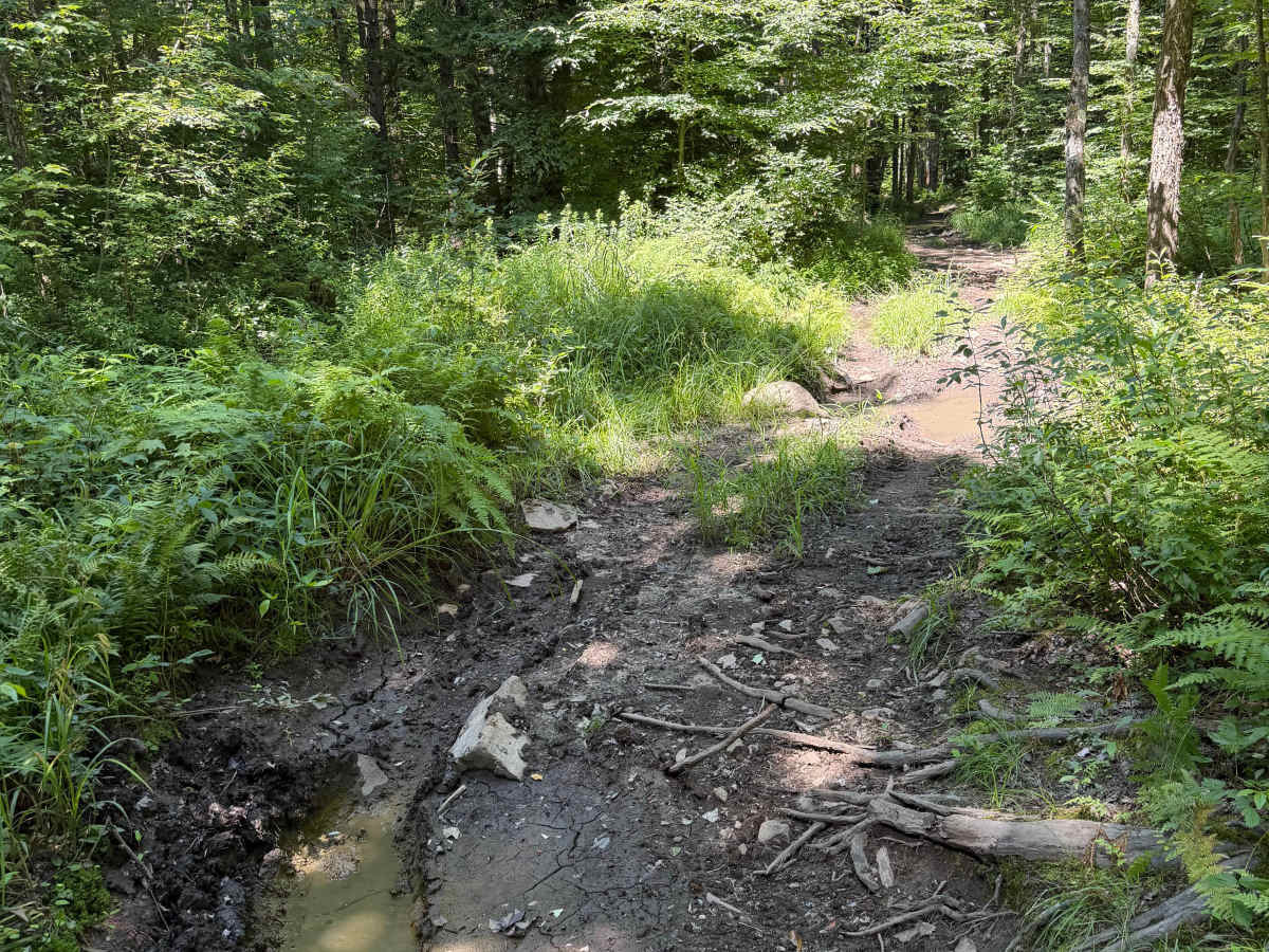
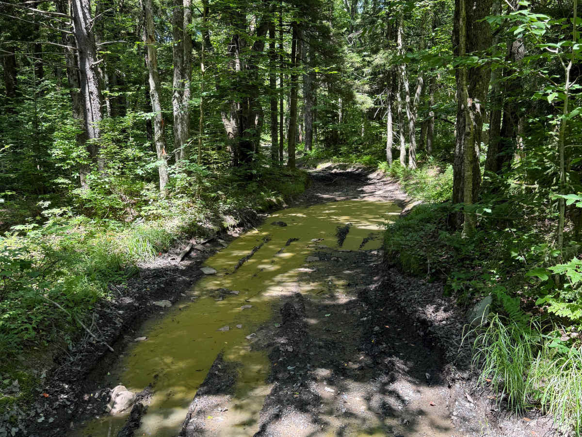
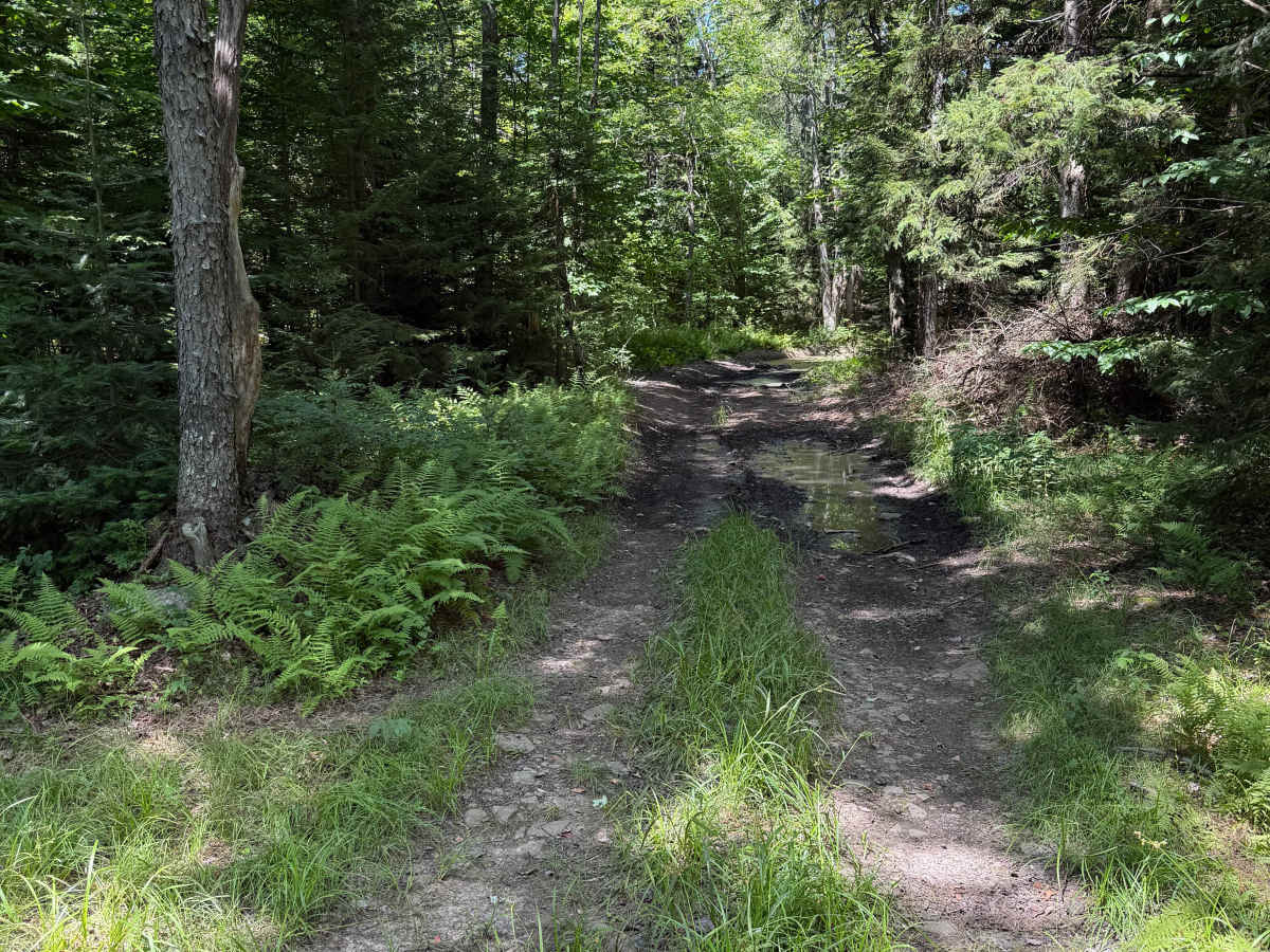
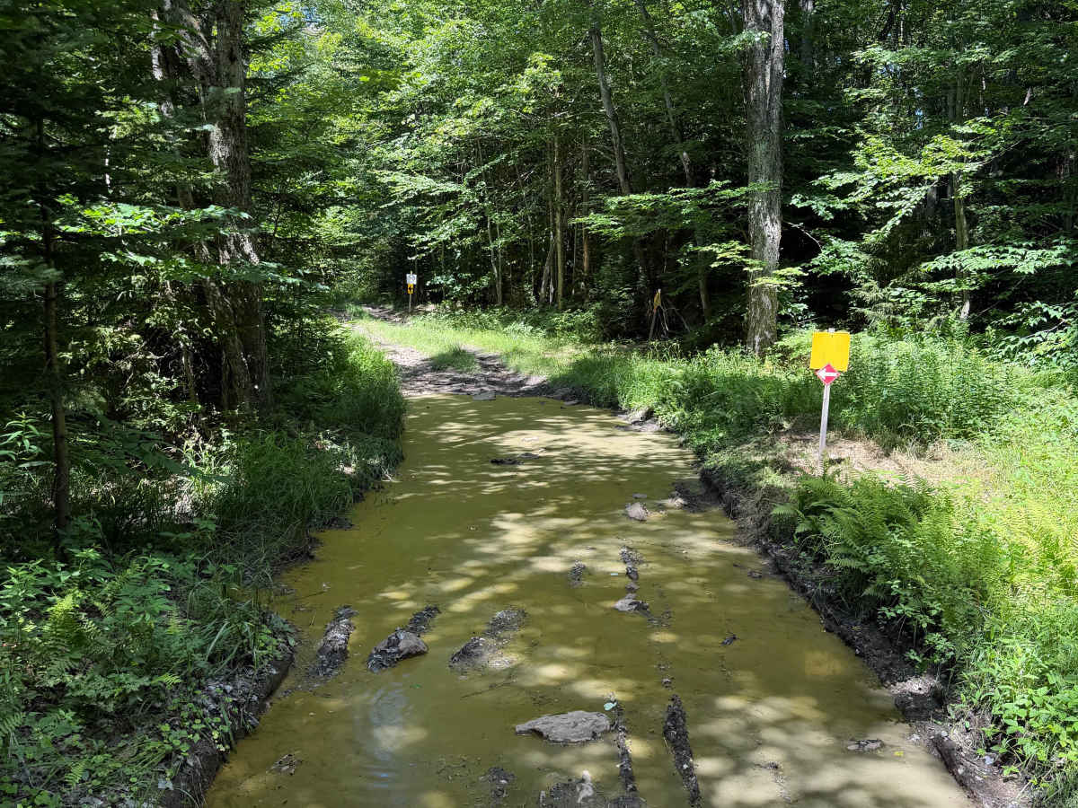
This route is a rugged two-track with a variety of terrain. Riders will encounter rocky sections, exposed roots, shallow climbs, and several long mud holes that can hold standing water during much of the riding season. While many puddles have bypasses, some water crossings span nearly the entire trail and may require riders to choose a careful line. Four wheel drive may need to be considering depending on the size of your machine. A Lewis County OHV permit is required to travel this trail.
Difficulty
This route is best suited for experienced ATV and SxS riders who are comfortable navigating muddy conditions and technical obstacles. Dry weather can improve conditions, but many of the deeper mud holes remain throughout the season. These waterholes are long and water can be deep in spots of this route. Highly suggest a 4x4 vehicle due to deep water and muddy trail surface underneath water sections.