Trail Overview
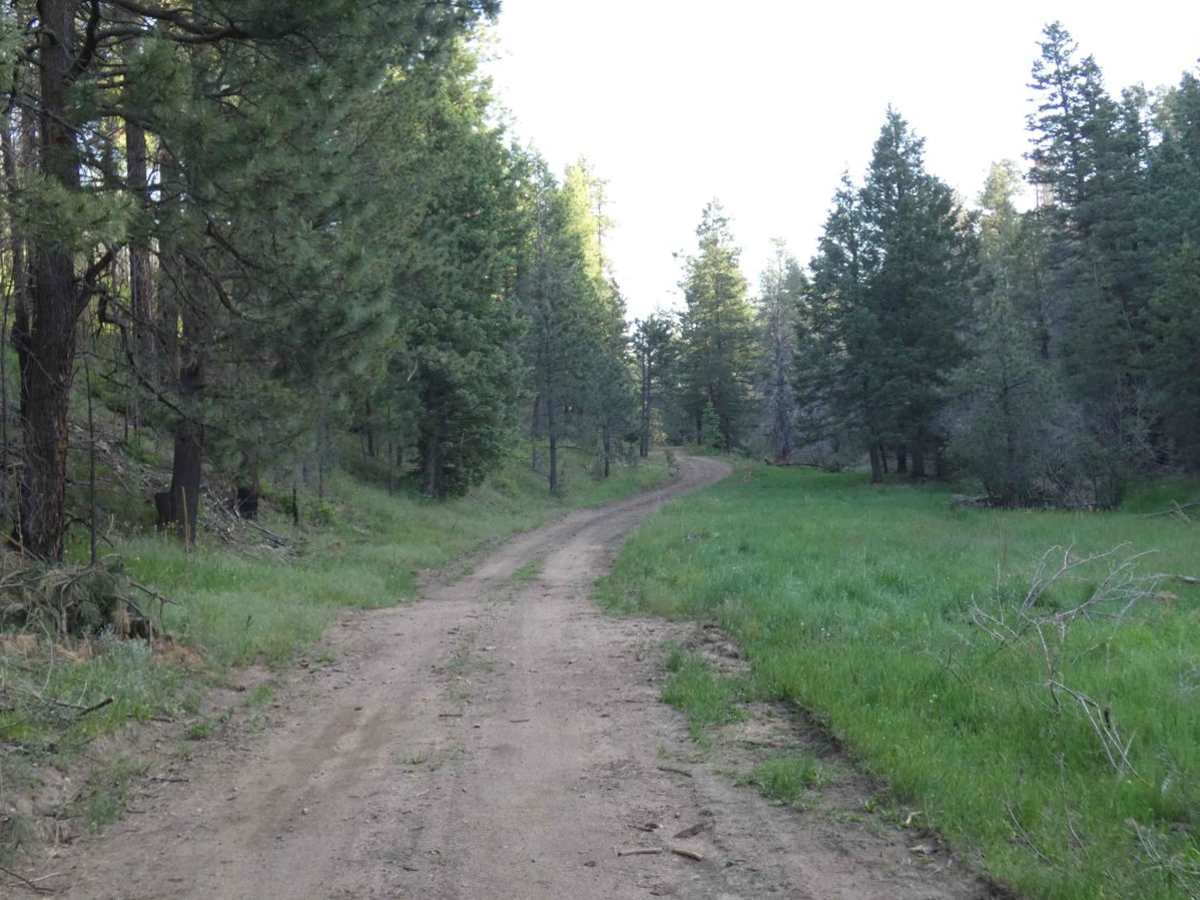
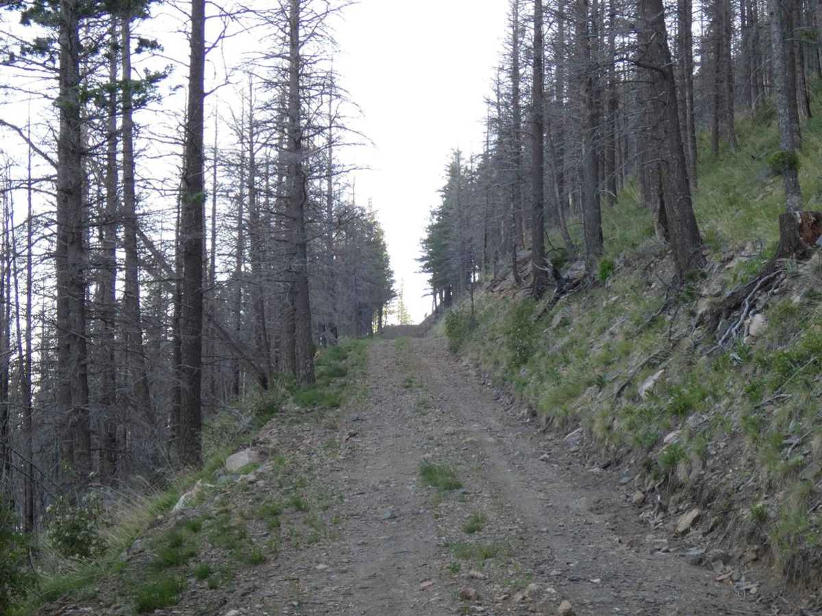
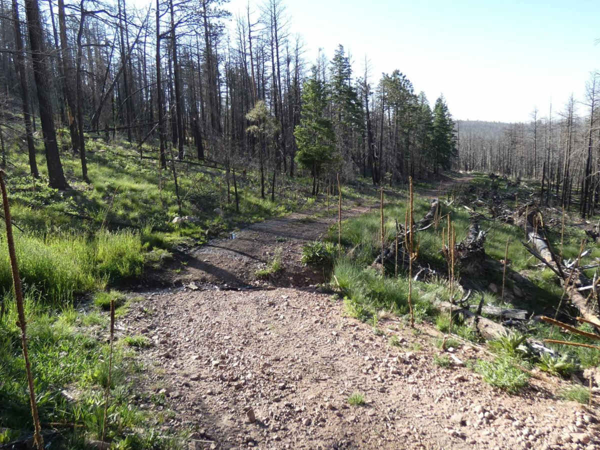
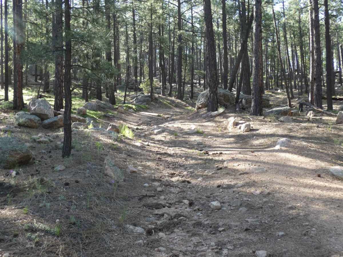
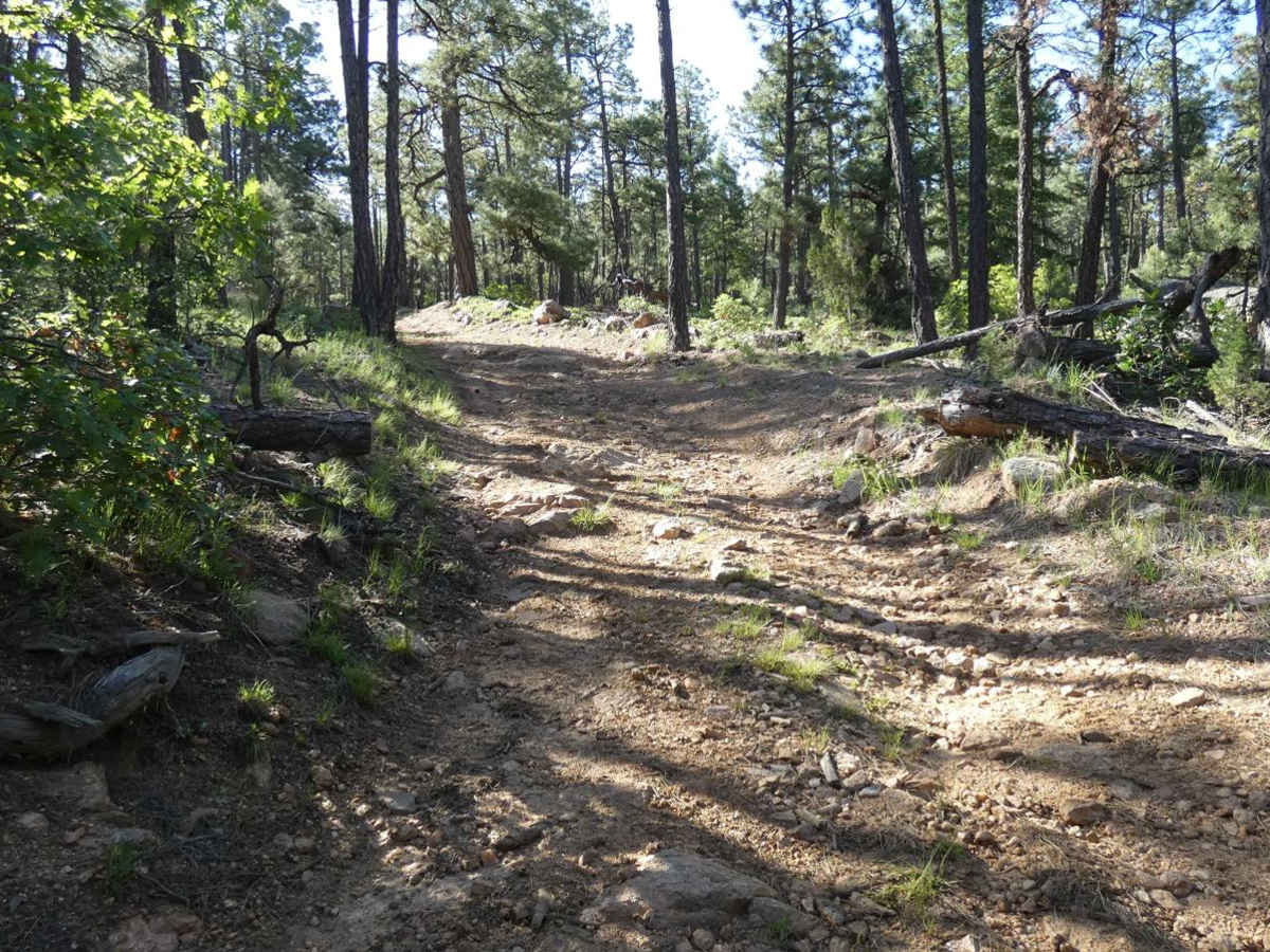
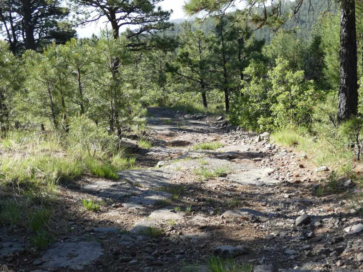
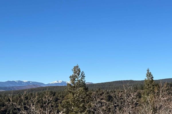
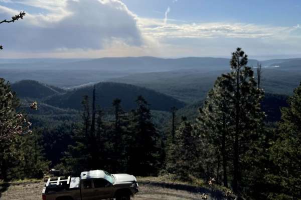
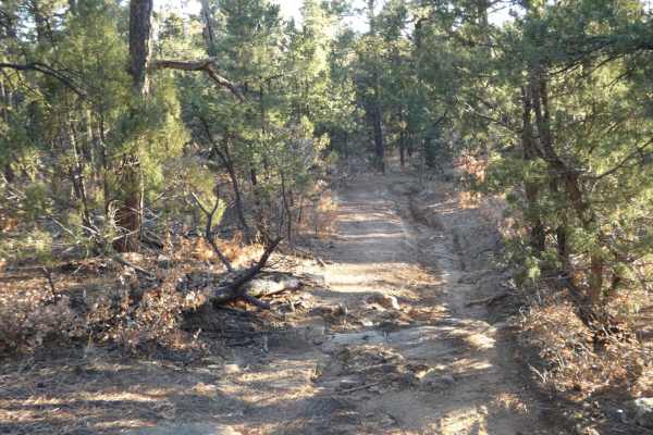
San Geronimo Back Road is a moderately difficult trail that offers a wide range of obstacles on various surfaces, from rocks, shallow sandy washes, and deep ruts through the soft dirt sections, as well as some small areas that are showing signs of erosion. Obstacles can be up to 18 inches in size, with a few of the ruts exceeding 24 inches in depth and off camber up to 18 degrees of roll angle, all of which will require attention to line choice. There are several large rock garden sections with rocks up to 18 inches in size, sheer face steps and some loose rocks in the mix that increase the difficulty and careful line planning, but will be easily completed by most 4x4 or 4WD vehicles with a lift and at least 33 inch tires or larger and a knowledgeable driver. The trail does have multiple shorter, steep-grade ascents and descents, many with loose rocky surfaces and a few sections that are slightly off camber. Elevation is up and down, with the northern section beginning right at 8,400 feet with a high point of 9,006 feet that gradually descends to just under 7,050 feet at the southern end of the trail. The trail is primarily single vehicle width, with most of it having very few places to pull off for traffic due to trees and thick foliage, or the few sections of shelf roads. Cell coverage will vary depending on carrier, with AT&T and Verizon having moderate service and T-Mobile being very weak. Offline maps are highly recommended. Foliage in the area is thick and green through spring to fall months, with average snowfall in the winter. The area does show heavy signs of burn scar and may be prone to heavy water runoff after rain or snowmelt. A chainsaw or handsaw is recommended as downed trees impeding the trail are common in the area, especially in areas where the burn scar is substantial. Dispersed camping is permitted throughout much of the length of the trail, with the exception of the last 4 miles of the southern portion of the trail and a 2.5-mile section after the first 1.3 miles at the northern section until mile 4, as the shelf road winds around the Barillas Lookout. Due to the private lands to the south, this trail is best run as an out-and-back starting from the north, ending at the private land boundary at the south, and turning around to exit at the north.