Trail Overview
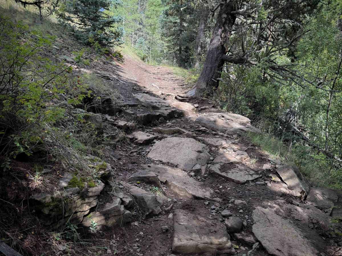
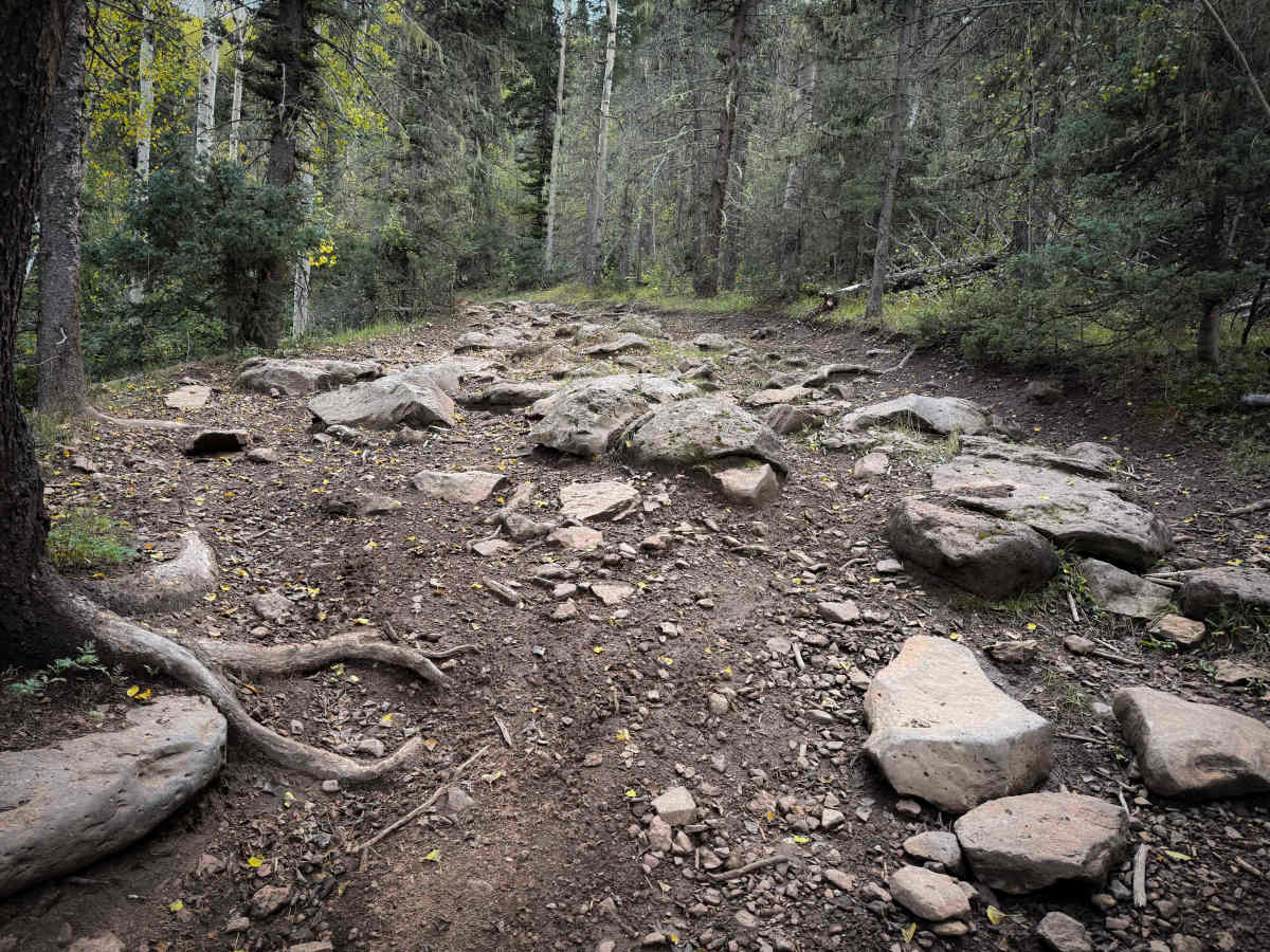
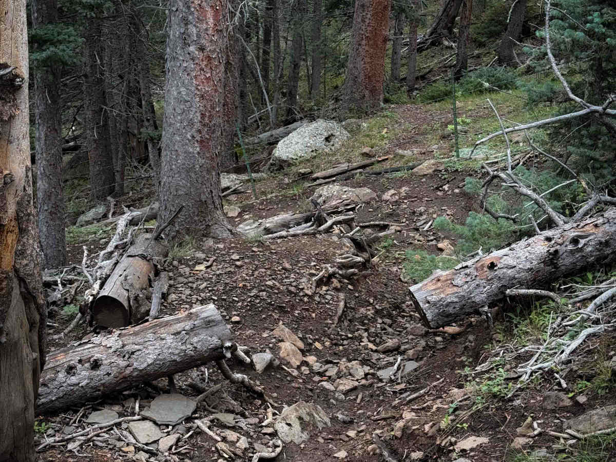
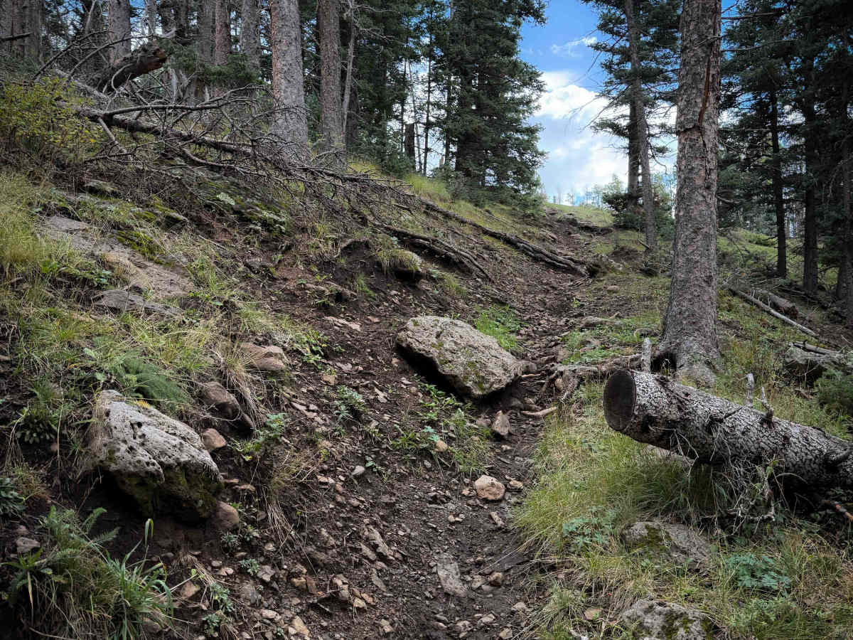
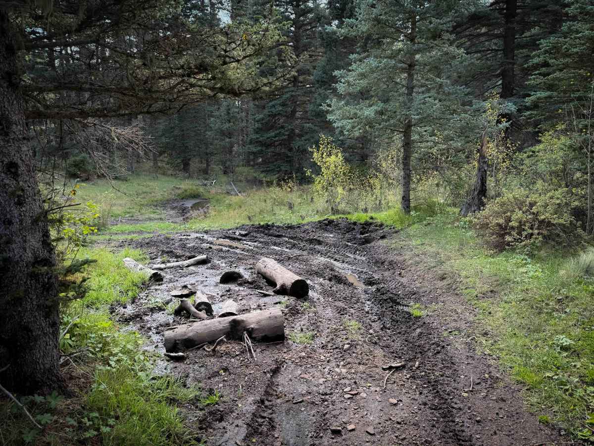
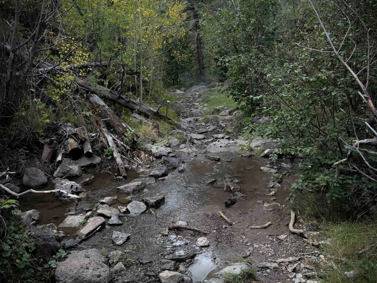
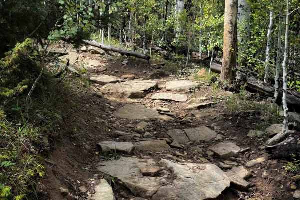
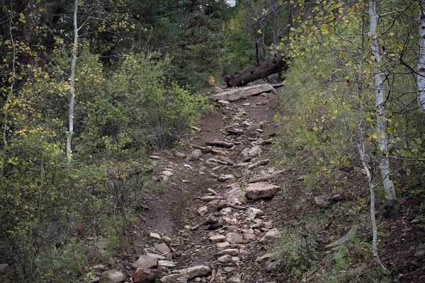
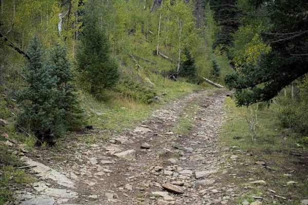
Trail 13 is a rugged and rocky ATV trail through the Carson National Forest, making a nearly 7-mile-long loop off of FS Road 76. There are small parking lots at both trailheads. When riding counterclockwise, the first three miles of trail are like an endless rock garden. The trail is a mix of wide sections and tight sections, but either way, it is constantly covered in boulders between 1 to 2 feet tall, slippery roots, and loose, cobbly rock. It parallels the Duran Creek in the beginning, which was overflowing into the trail, making the rocks slick, with lots of small puddles and mud. At 2 miles, the trail makes a sharp left turn down a tighter path with big embedded boulders. It’s easy to miss this turn and accidentally end up on private land. Between this turn and the intersection with FS Road 722, the trail becomes more primitive, with more frequent small downed logs that dirt bikers can ride over, but ATVs may need to cut. It also has more overgrown grass that obscures the constant embedded rocks. After the road intersection, the next mile and a half is easier, with fewer rocks, riding through grassy meadows with shallow muddy ruts, until it makes another sharp left turn that is also easy to miss, at the edge of private land again. There are three wooden poles marking the turn off the main route, but you can’t see the path through the trees until you turn off of it, so it’s hard to find. It drops into the forest down a trenched-out and narrow rocky path that may not be suitable for ATVs. It makes a sharp curve around a big boulder that will require tight maneuvering on a steep slope with articulation. ATVs should scout this ahead of time and proceed with caution. This short section pops out on a road, and there is a sign to continue on Trail 13 across the road. The last two miles of trail parallel Policarpio Creek, on a shelfy trail with small water crossings, more embedded rocks, and slightly off-camber sections. Overall, it’s a long route that will test the average rider with constant rock features, navigational challenges, downed logs, and tight sections. This trail is open to motorized use from 5/1 to 12/31.
Difficulty
This trail is an upper intermediate/difficult ATV trail with a constantly rocky surface. It has constant rock gardens, slick roots, big boulders, and log crossings. The southern half of the loop is the rockiest. The east side of the loop is more primitive, and the northeast corner of the loop has a narrow section that may not be suitable for ATVs. The trail also requires some good navigation skills, as there are several unmarked intersections that are easy to miss, making offline maps essential. This trail will feel harder because the intermediate obstacles are constant, making it more physically demanding.

 Offroad