Coyote Canyon

Total Miles10.5
Technical Rating
4Moderate
Best TimeSpring, Summer
Trail TypeFull-Width Road
Accessible By
Open Trail Map

Trail Overview

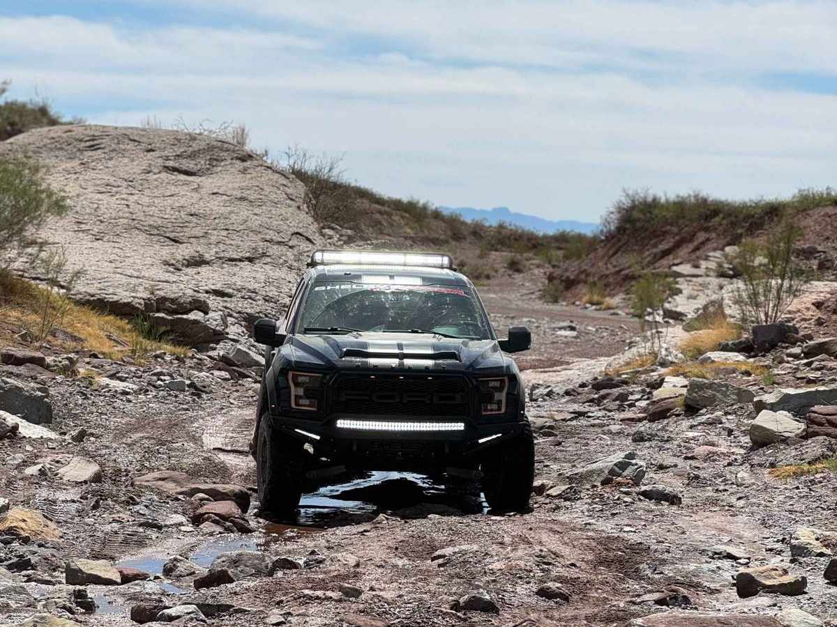
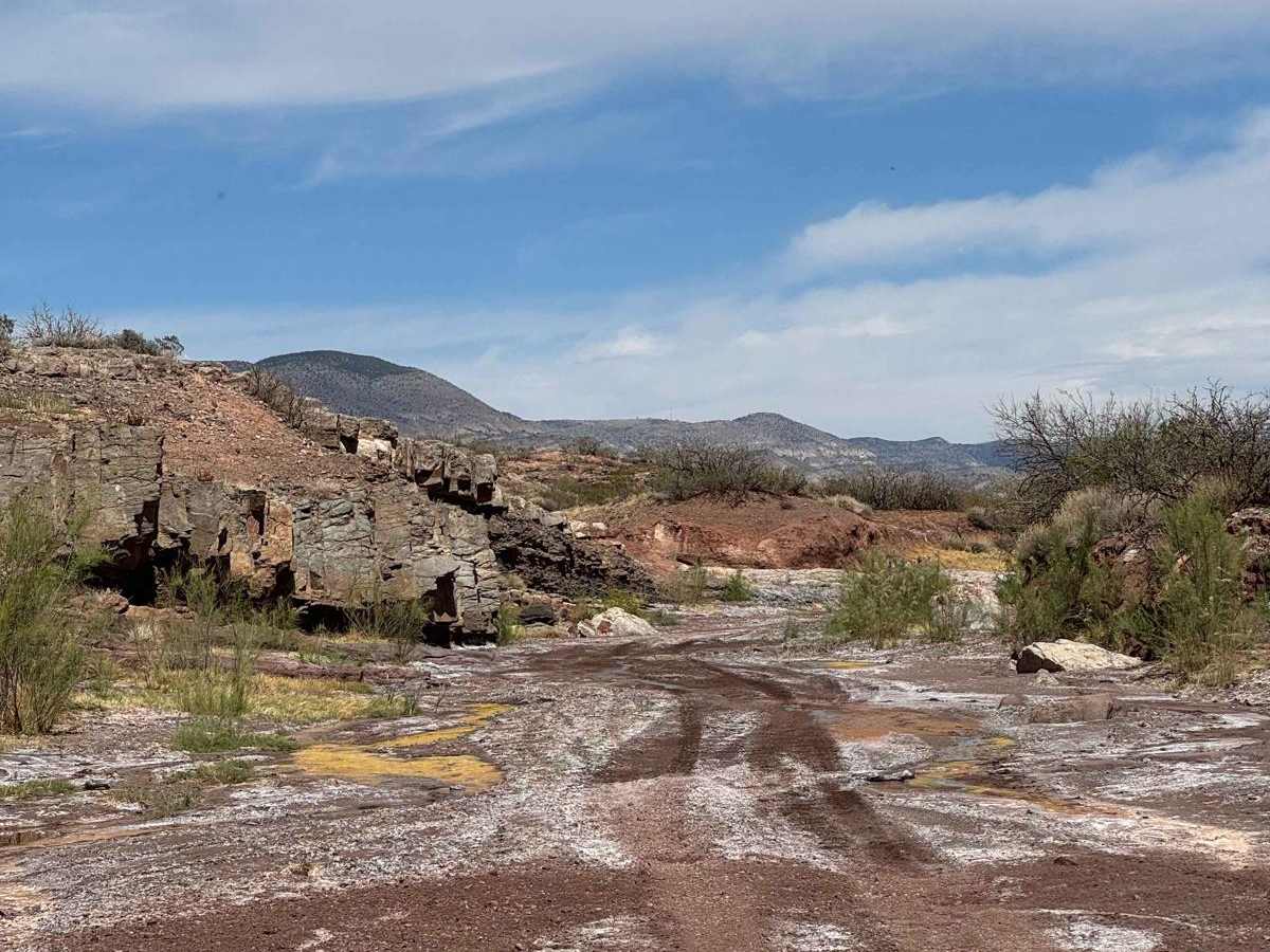
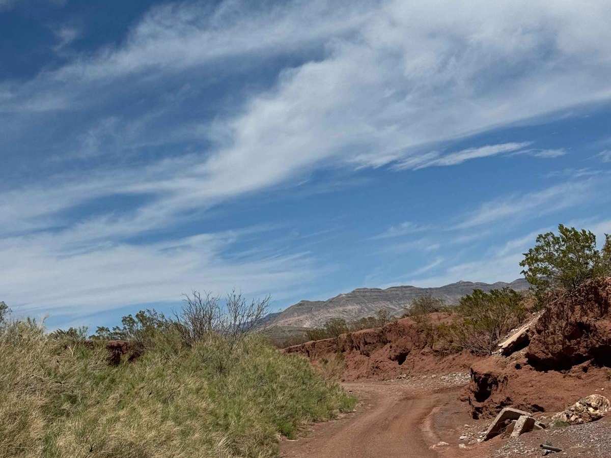
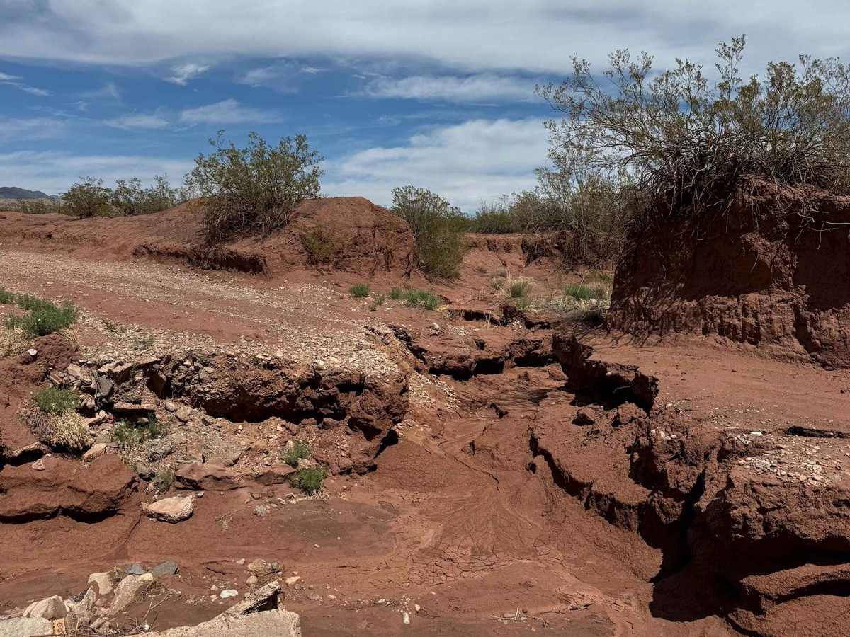
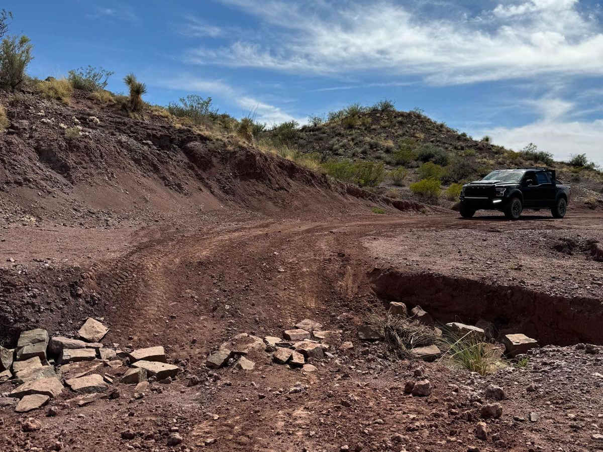
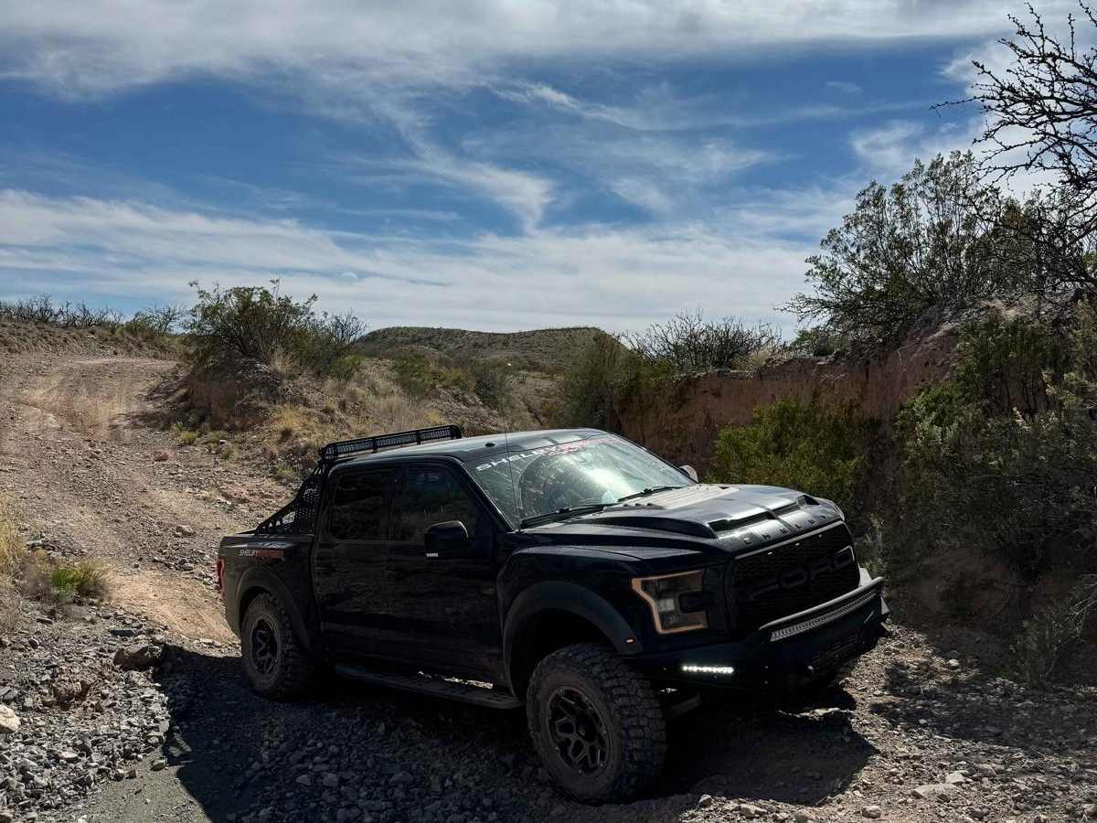
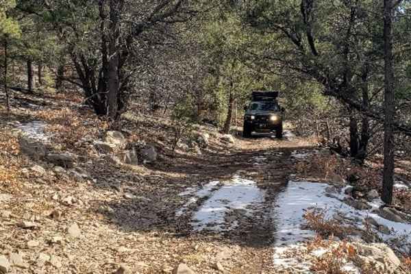
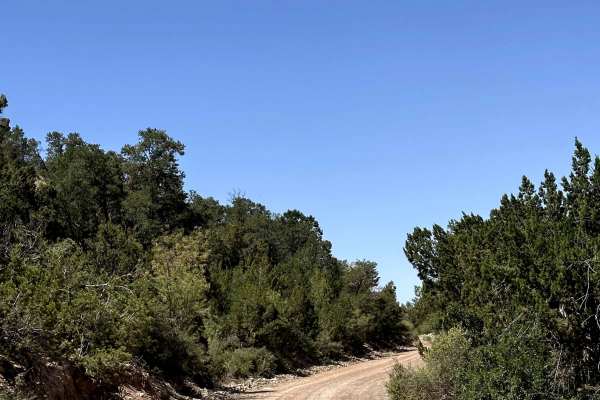
Coyote Canyon offers a dynamic off-road adventure for moderate trail riders, featuring a diverse mix of expansive dry riverbeds and tight, technical tracks winding through the scenic Coyote Hills. Spanning approximately 10.5 miles near Tularosa, New Mexico, this unpaved route climbs from a low of 4,462 feet near the valley floor up to 5,704 feet near Cat Mountain, delivering scenic desert and mountain vistas throughout. High-clearance four-wheel-drive vehicles and SxSs are highly recommended to navigate the unmaintained terrain, which is rated a moderate 4 out of 10. The trail's footprint is constantly reshaped by seasonal rains, leading to washouts that require careful tire placement and picking the right line. Because of its location in the arid Chihuahuan Desert region, this trail is best enjoyed during the cooler months of fall, winter, and spring, as summer temperatures can easily exceed 100 degrees Fahrenheit. The network features numerous branching side spurs and alternative paths, allowing explorers to spend multiple days discovering the broader area's canyons and ridges. While several larger obstacles along the washouts have established bypasses for less-equipped rigs, drivers should still be prepared for loose dirt, gravel, rocky sections, and sudden drop-offs. Starting near Highway 70 just north of Tularosa, the route serves as an excellent gateway to the rugged foothills of the Sacramento Mountains, making it a favorite local destination for off-road enthusiasts looking to test their vehicle's articulation without extreme risk.

Photos of Coyote Canyon

Difficulty

Large washouts and certain paths along the river can make this trail challenging for some lower-clearance vehicles. Most of the trail has several bypasses around larger obstacles if required.

Technical Rating

4

Status Reports

Add Status Report
Don Kingery
Oct 05, 2025
2020 RAM 2500
Obstructed
someone moved in with an RV and put up gates and fince totally blocking this trail. the neighbors have a grader and are cutting in a new road to by pass.
Brandon Lilly
Jul 02, 2025
Open
NormalMuddy/Wet
Great trail with big views and lots of places to “choose your adventure.” Multiple spurs offer optional challenges and bypasses to choose from. You’re in the riverbed for much of the trail and it would be dangerous during a flash flood. Definitely check the forecast before heading out. 2 door JK with 3 inch lift on 35s had no trouble.
Darryl W
May 09, 2025
Open
Normal
Nice ride to the top of the hill where there is a pretty amazing view of the Tularosa basin. There are options for SxS’s. It’s passable by 4x4’s and jeeps if you stay on the main trail. Be aware that there are a few dangerous washouts.
brandon coward
Sep 28, 2024
2023 Toyota Tundra
Open
NormalDustyWashboard
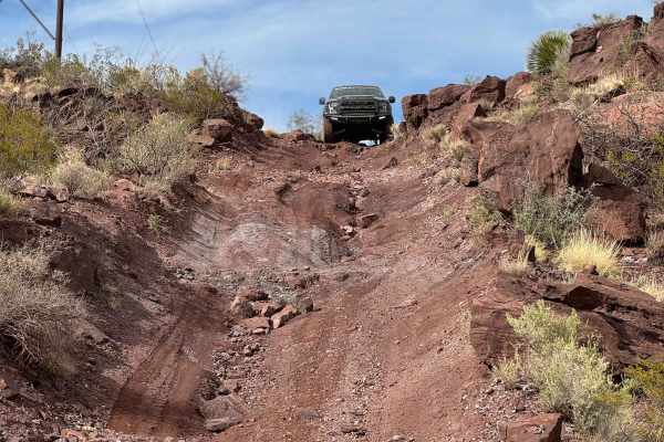
I wasn't sure how to get to helms trail, I ended up in a neighborhood of houses on a dirt road after gps tried taking me through private property. instead, set gps to coyote canyon and made it on trail, everything is easily accessible with high clearance 4x4, up till halfway at the "coyote canyon" mark on onX. I couldn't make it over the stairs of rock ledges, (stock height and no skid plates) without destroying stuff. so beware.
Justin Mix
Sep 15, 2024
2021 Ford Ranger
Open
Rough/DeterioratedDusty
Chris Carrasco
Aug 10, 2024
2010 Toyota 4Runner
Open
Rough/Deteriorated

Coyote Canyon Trail can be accessed by the following ride types:

  • Single Track
  • 50 Inch
  • 60 Inch
  • High Clearance
  • Full Width

Access Description

This route traverses public lands, and no fees or permits are required for recreational access. Off-road travelers must stay on designated paths to protect the fragile desert ecosystem and prevent erosion.

Coyote Canyon Map

The onX Offroad Difference

onX Offroad combines trail photos, descriptions, difficulty ratings, width restrictions, seasonality, and more in a user-friendly interface. Available on all devices, with offline access and full compatibility with CarPlay and Android Auto. Discover what you're missing today!

Open Trail Map