Capulin Circumnavigation

Total Miles3.8
Technical Rating
3Easy
Best TimeSpring, Summer, Fall, Winter
Trail TypeFull-Width Road
Accessible By
Open Trail Map

Trail Overview

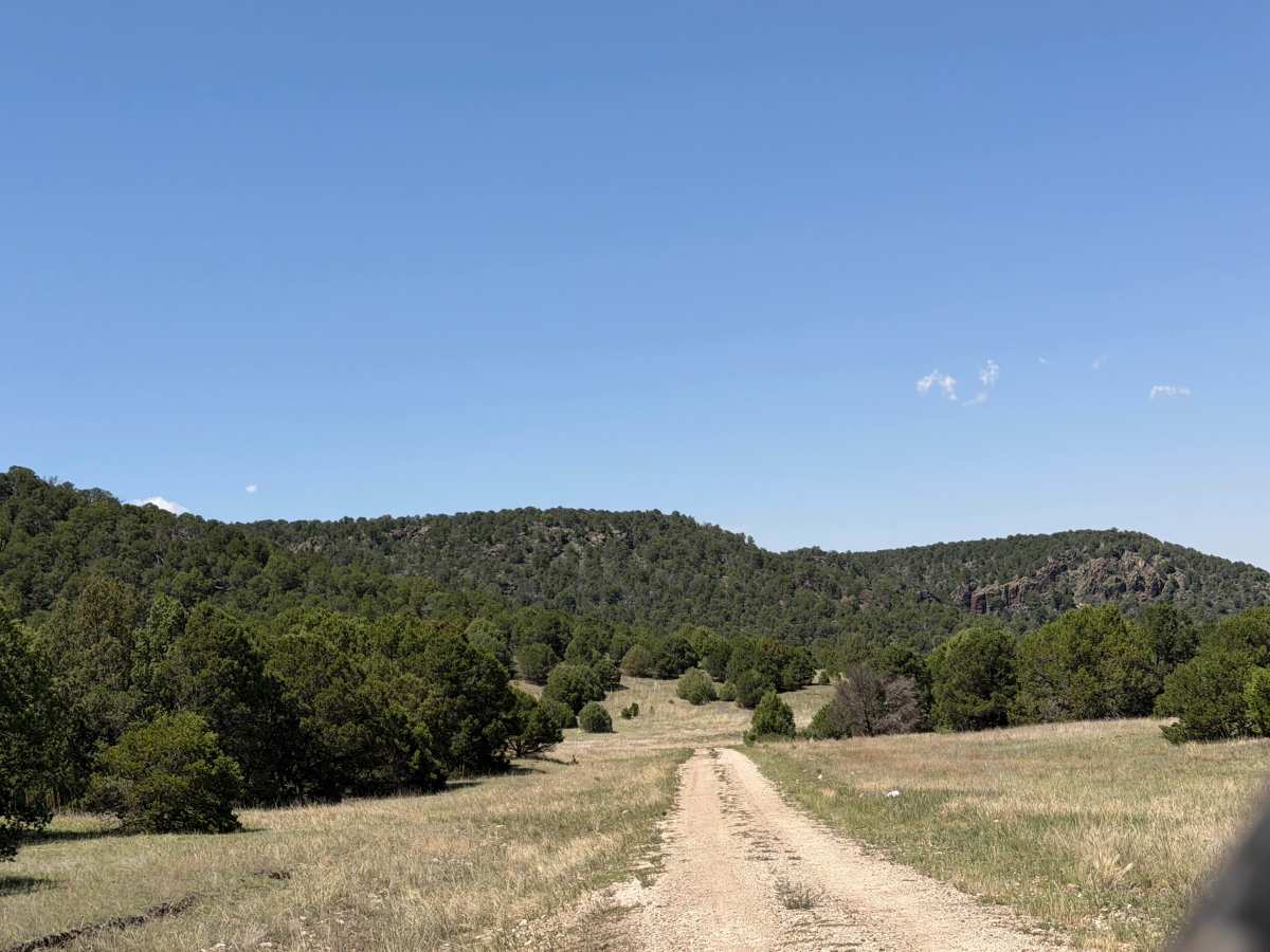
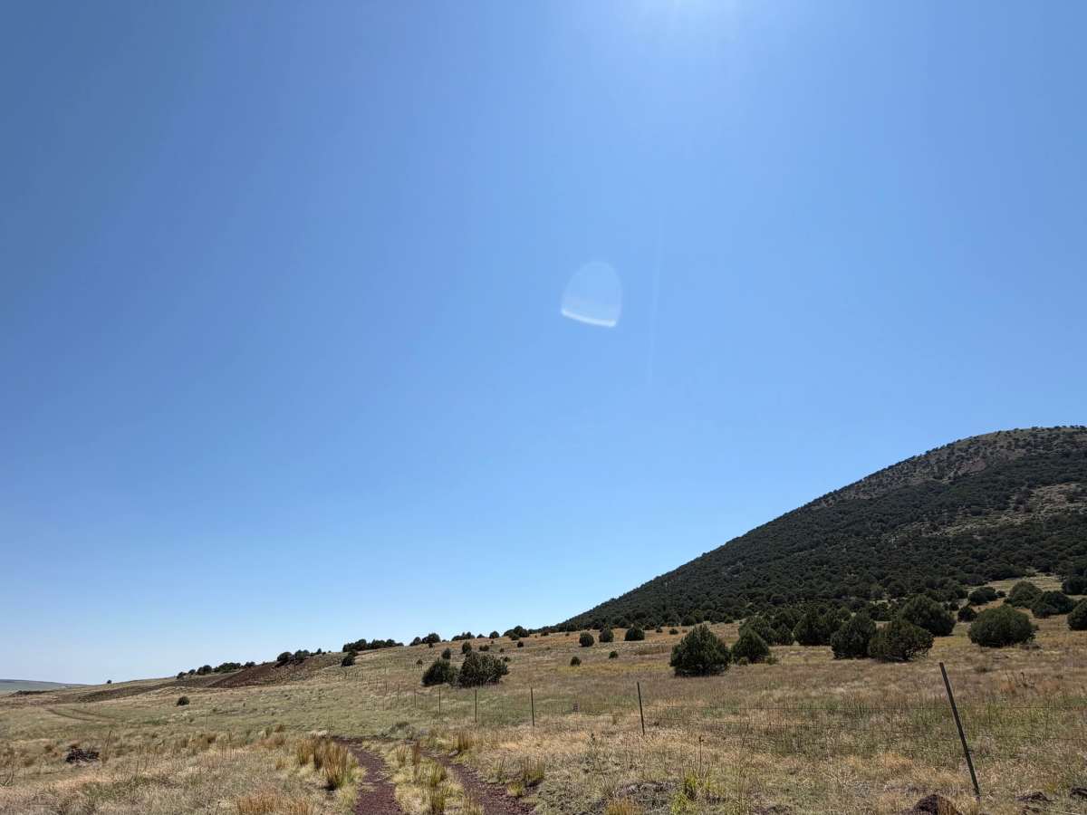
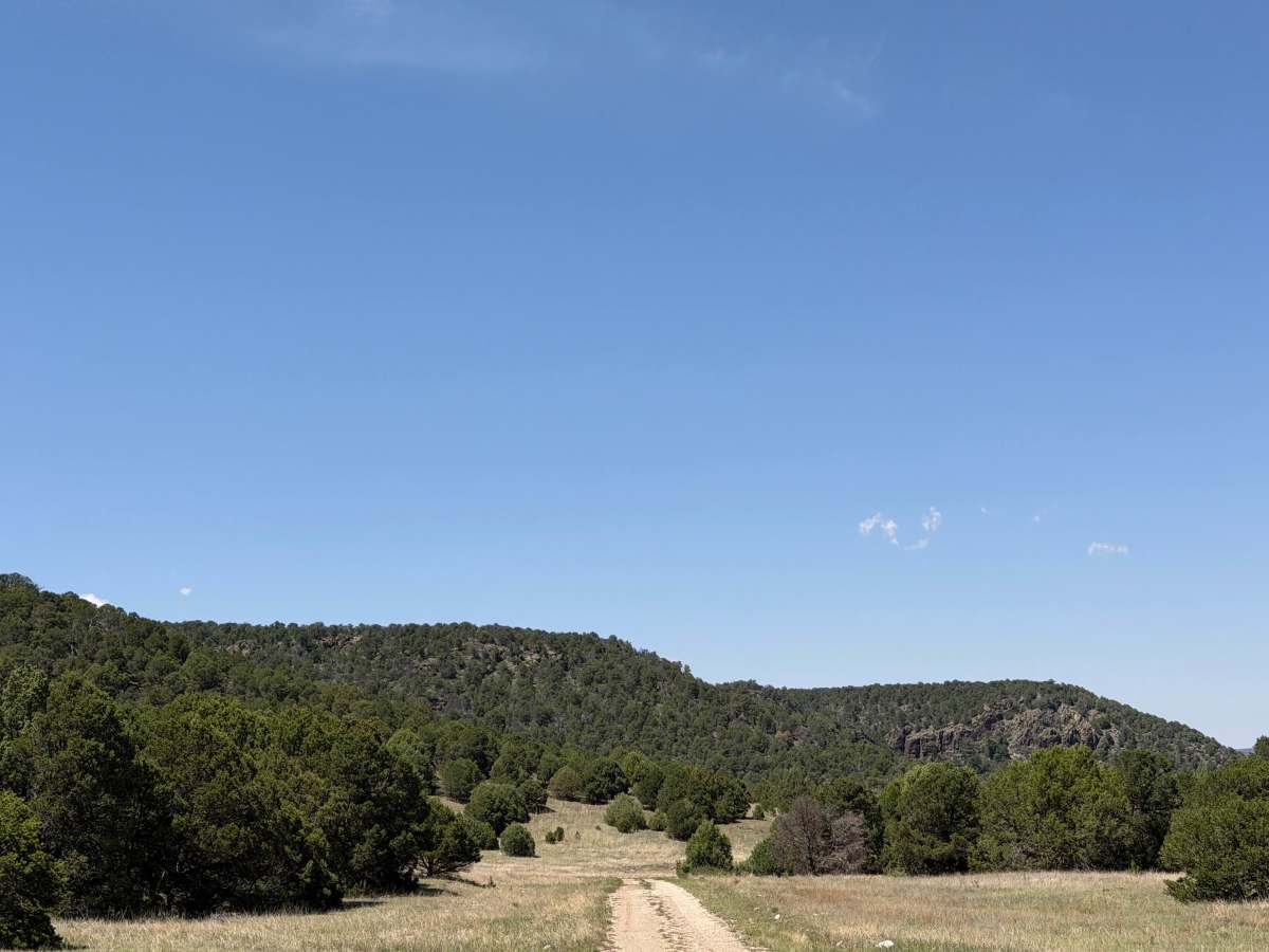
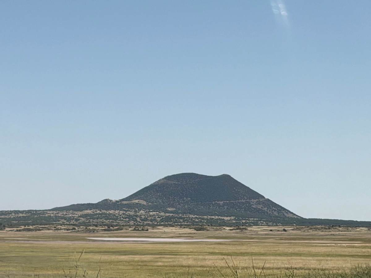
From Capulin on the Raton Highway, head north. After the NPS entrance to the volcano, a dirt path will be on the right. At the beginning of the trail, there is a fork. Take the left, as the right is NPS. Farther ahead, there’s another fork, but difficult to identify due to the trail being overgrown; take a right here. Part of the trail is on private property, and accessibility may change. The rest of the trail is state-owned.

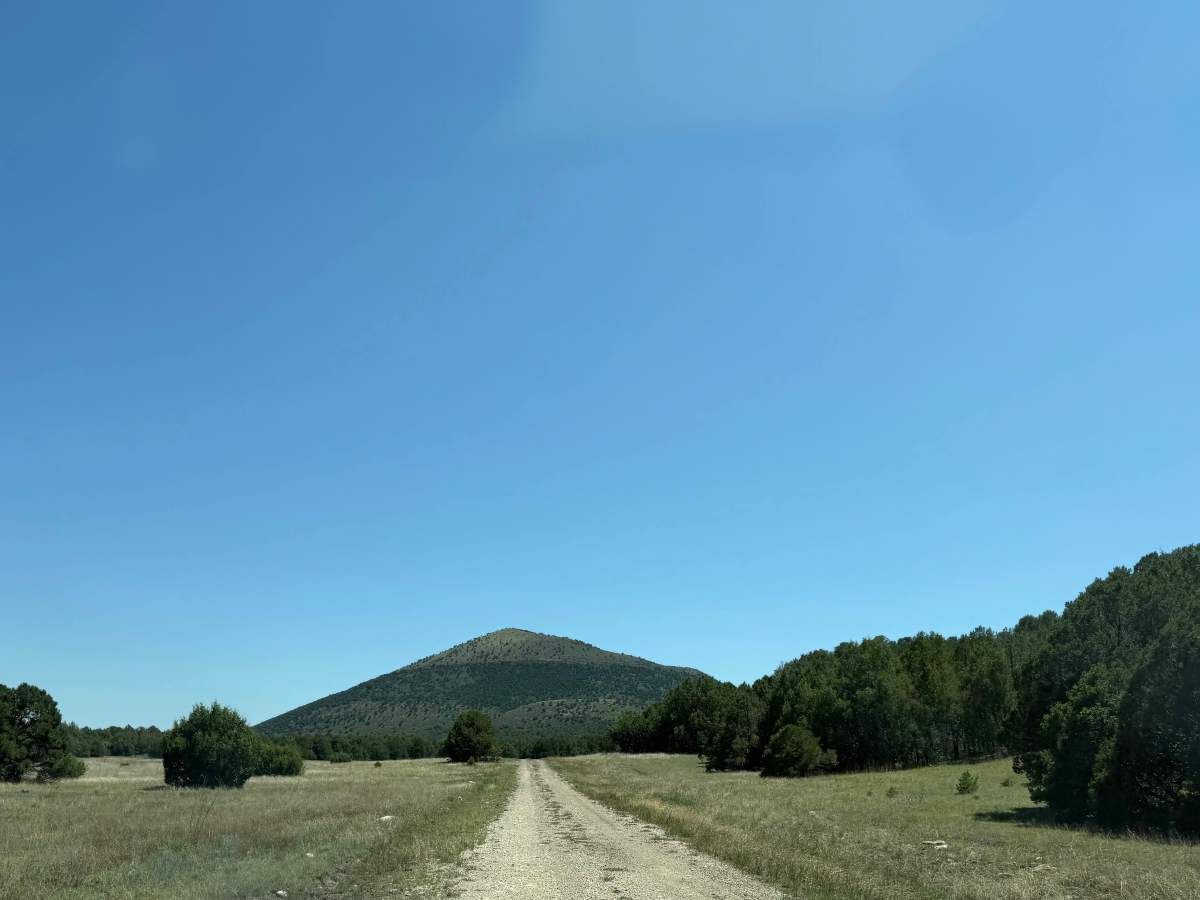
Photos of Capulin Circumnavigation

Difficulty

Rated for the sharp lava rocks requiring navigation to avoid damage.

Technical Rating

3

Capulin Circumnavigation Trail can be accessed by the following ride types:

  • High Clearance
  • Full Width

Capulin Circumnavigation Map

The onX Offroad Difference

onX Offroad combines trail photos, descriptions, difficulty ratings, width restrictions, seasonality, and more in a user-friendly interface. Available on all devices, with offline access and full compatibility with CarPlay and Android Auto. Discover what you're missing today!

Open Trail Map