Trail Overview
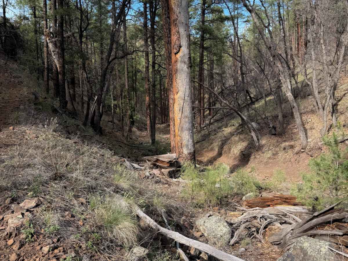
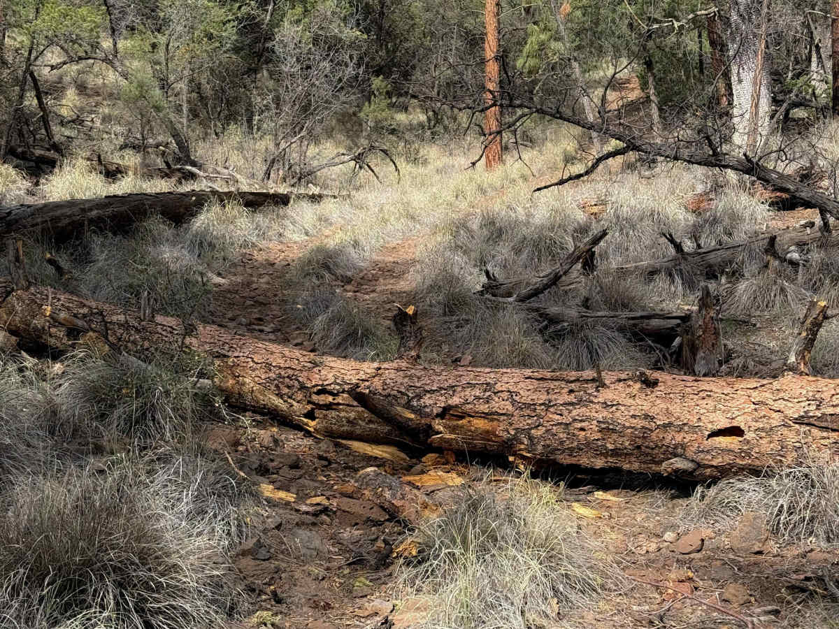
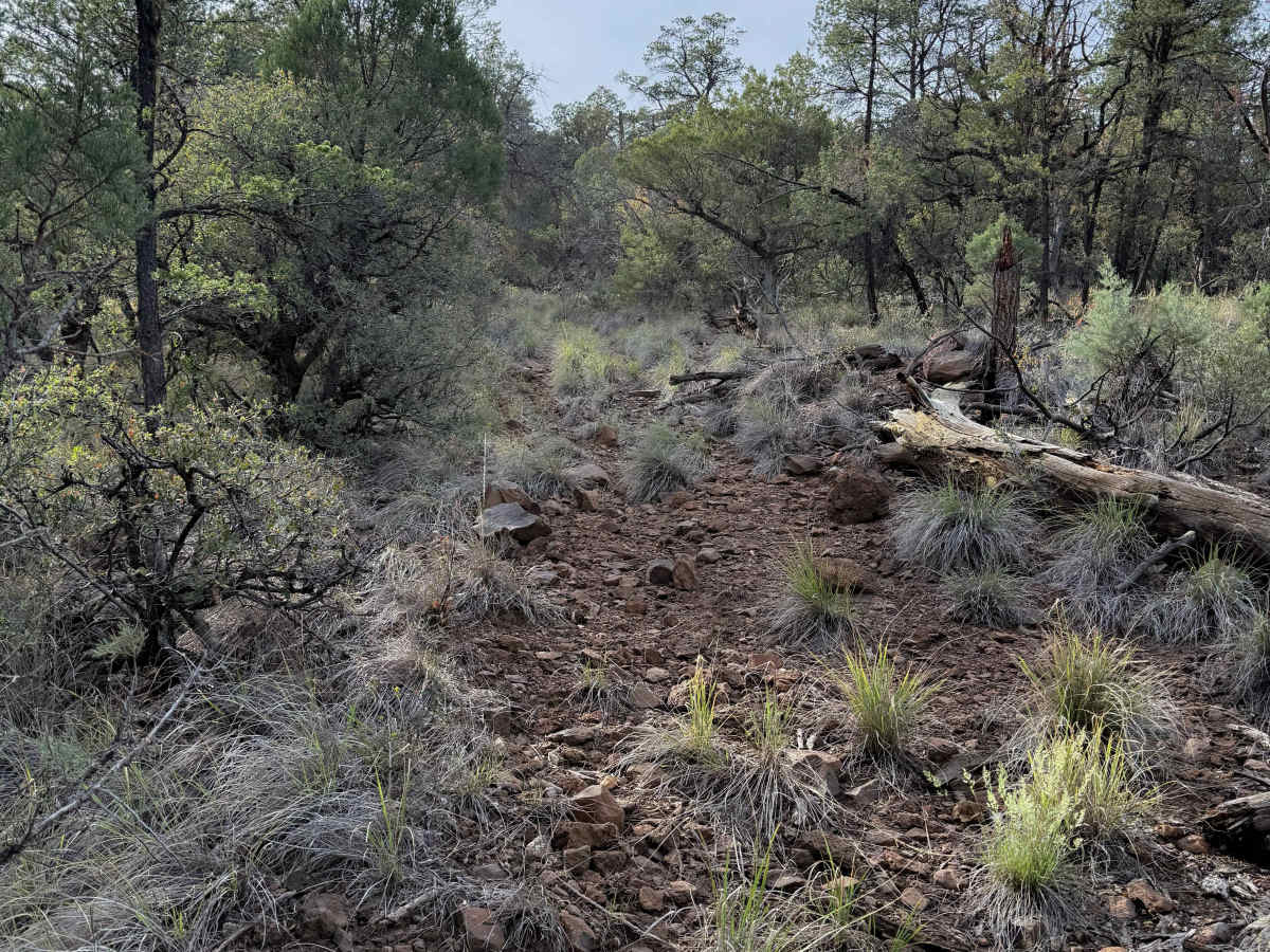
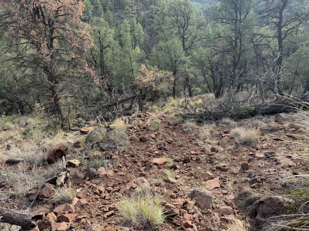
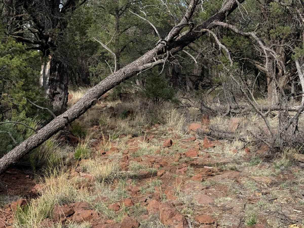
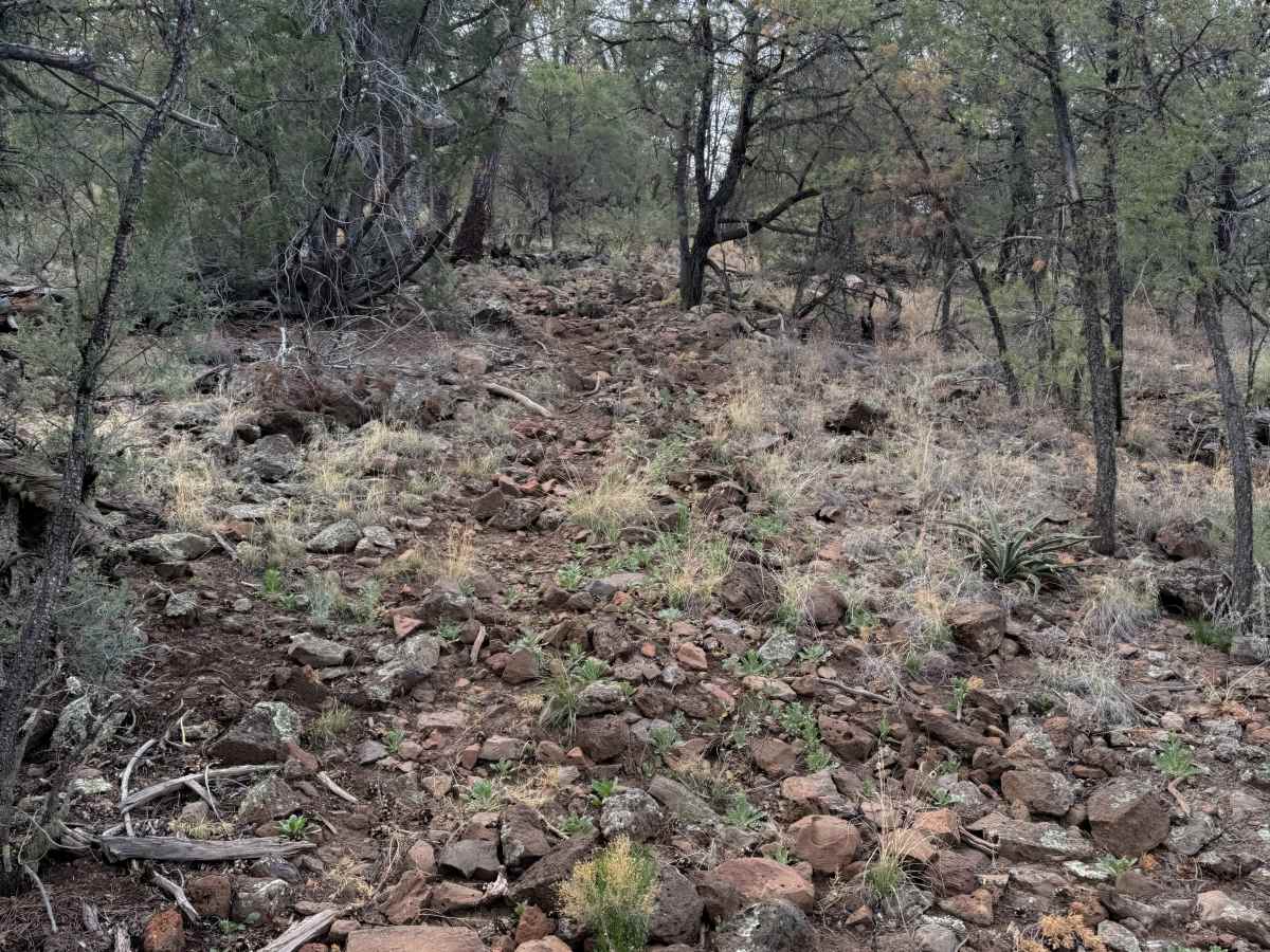
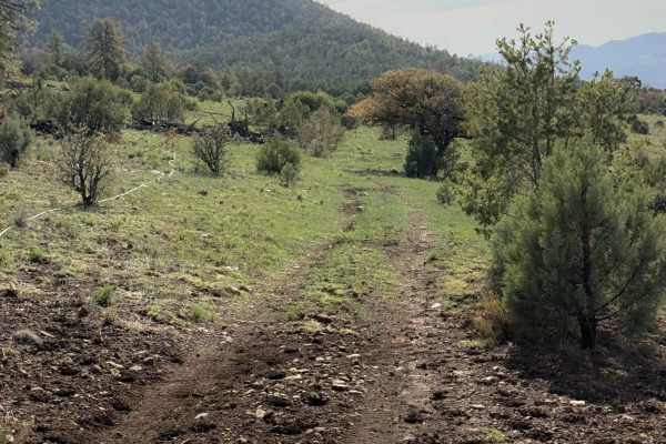
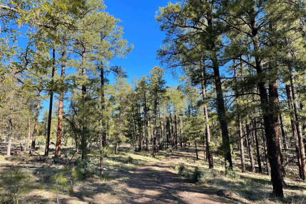
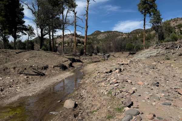
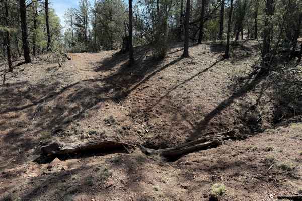
ATV Trail #957 is an almost 5-mile-long loop that is very primitive, with log hazards and off-camber slopes, requiring good navigation skills. The beginning of the trail from the end of FS Road 4042G starts out narrow between the base of a couple of hills in a ravine. It goes through a ponderosa forest that is dry and sparse, weaving between the trees, with lots of pine needles on the ground and overgrown grass, making it hard to see the trail at times, and obscuring the chunky rocks underneath. In general, the west side of the loop is more tracked in, but the east half of the loop is very faint and hard to follow, and the route looks very lightly trafficked. There are a few small and medium-sized logs down, but some logs have been cut. The trail follows the ravine between the hillsides, cross-cambering across small rolling hills, in the ravines, with frequent downed logs and debris. There are also sections that have a layer of loose chunky rock that make it a slower, bumpier ride. Expect small climbs and descents over the loose rock, making traction more difficult, plus the potential for log hazards, low branches, and navigational mistakes. It’s tricky to stay on track here, and you will need an offline map.
Difficulty
This is a more challenging ATV trail due to the fact that the majority of the route is primitive and overgrown, making it navigationally challenging, and with frequent log crossings. ATVs will likely need to reclaim part of the trail and cut some logs in order to get through, and it will be a several-hour-long adventure. There are off-camber and uneven ravine crossings that will also be tricky for ATVs, plus loose, steep, and rocky hills. There aren’t any major rock ledges or obstacles, but overall, the route is slow going and primitive.