Melanie Landing

Total Miles0.9
Technical Rating
4Moderate
Best TimeFall, Winter, Spring
Trail TypeHigh-Clearance 4x4 Trail
Accessible By
Open Trail Map

Trail Overview

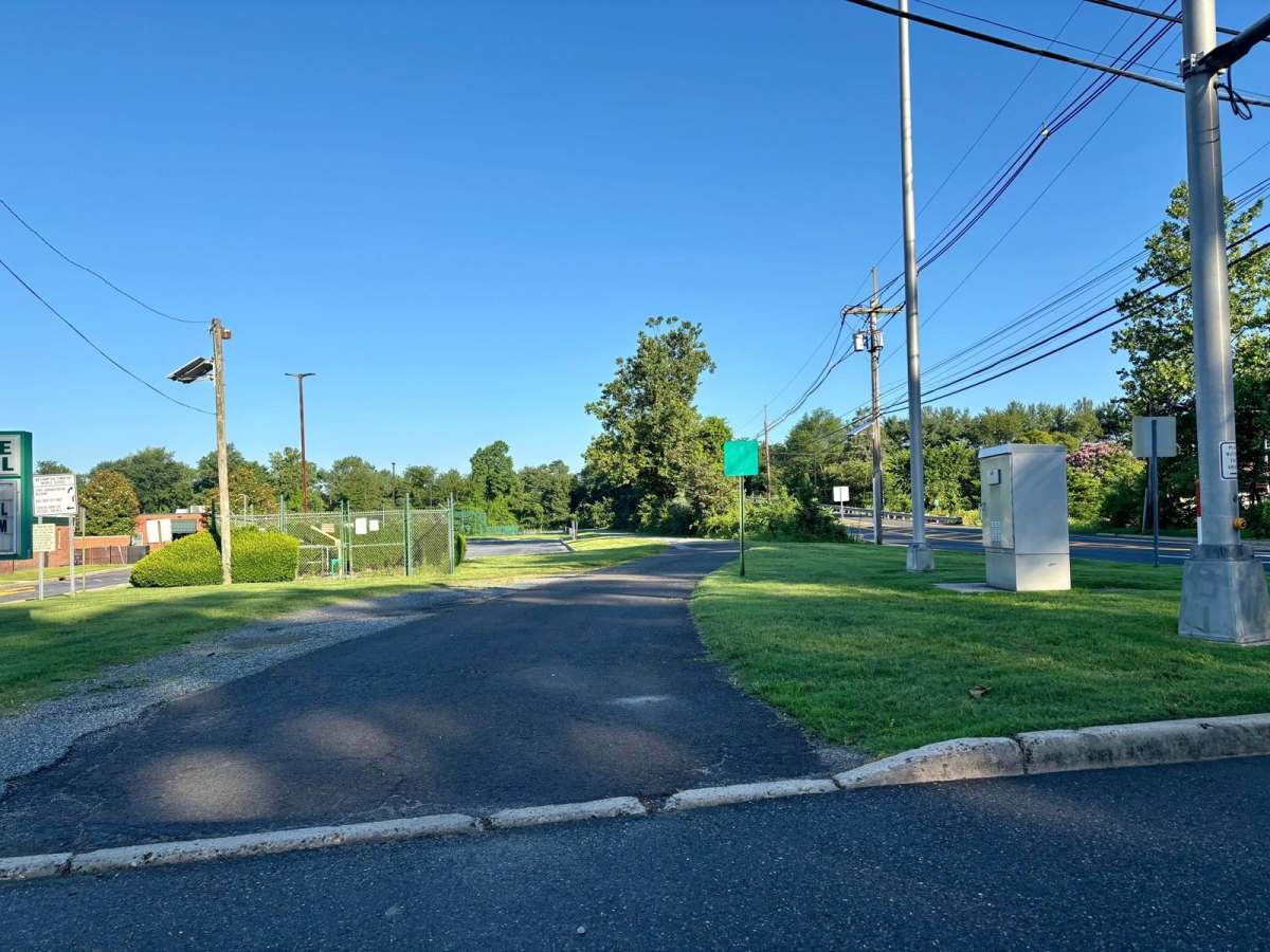
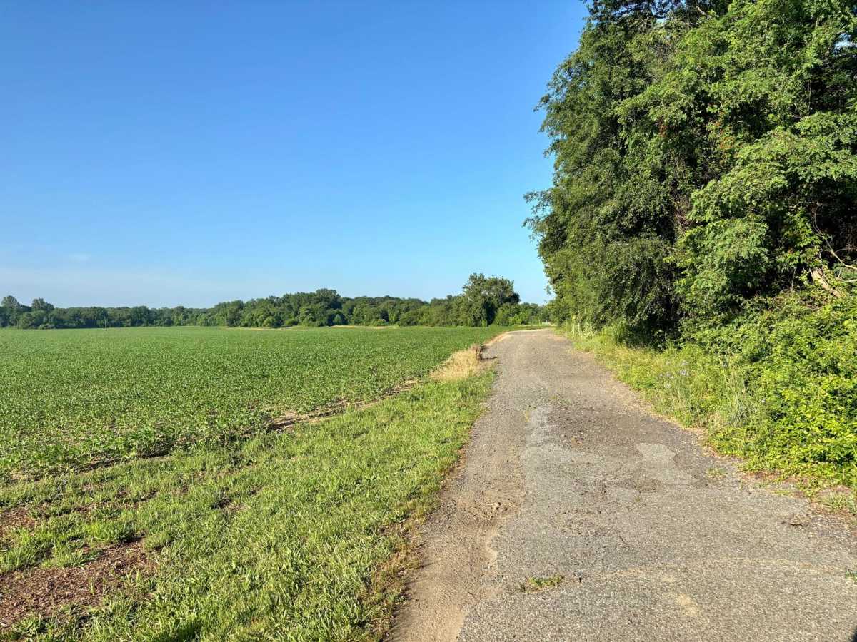
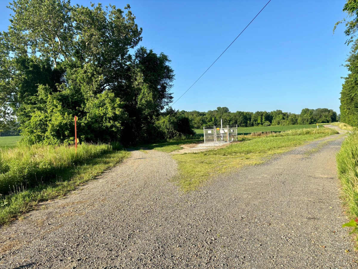
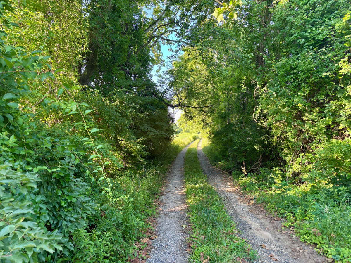
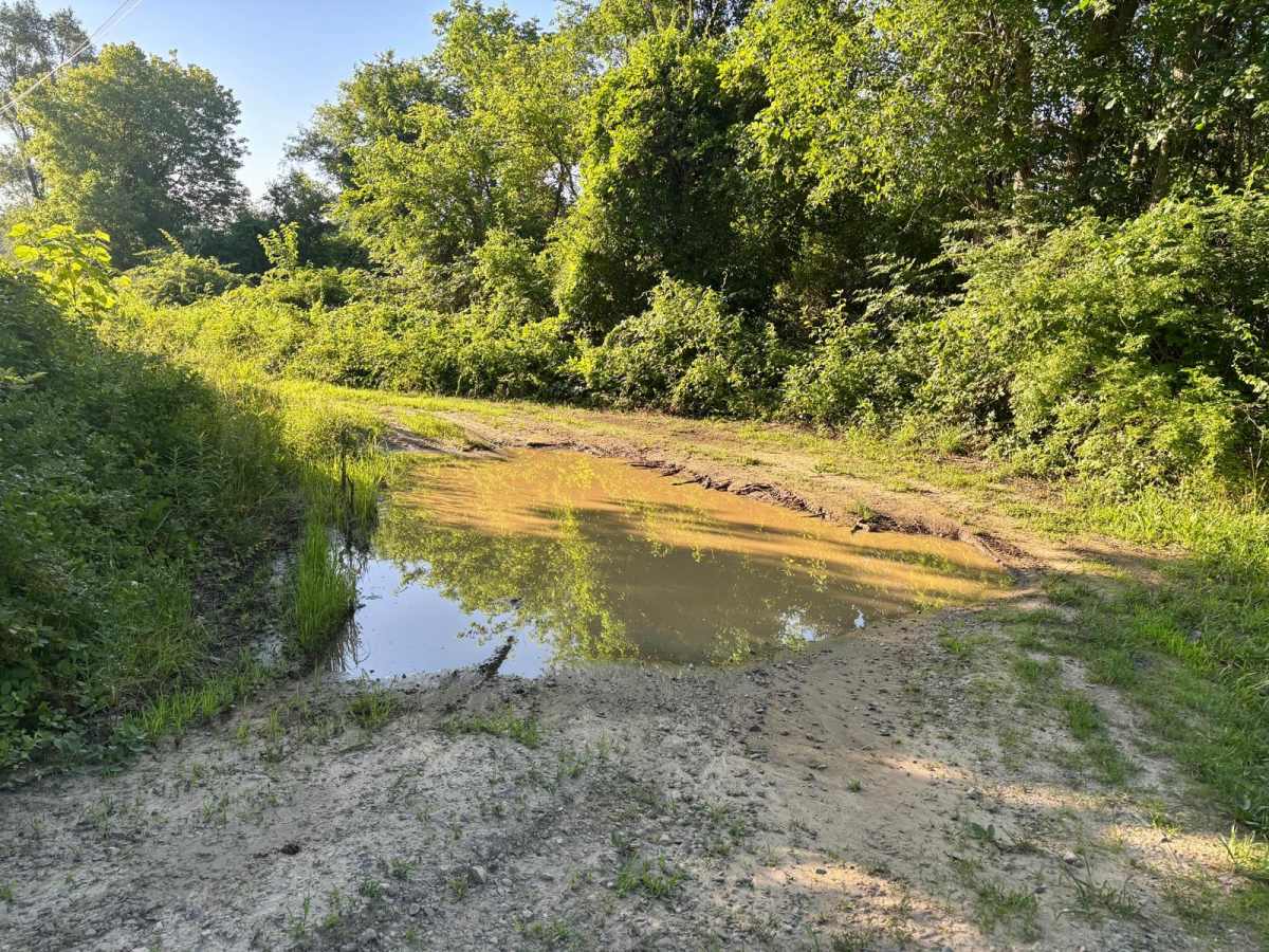
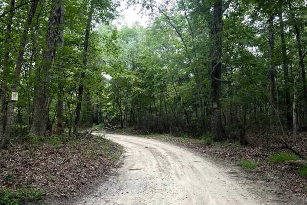
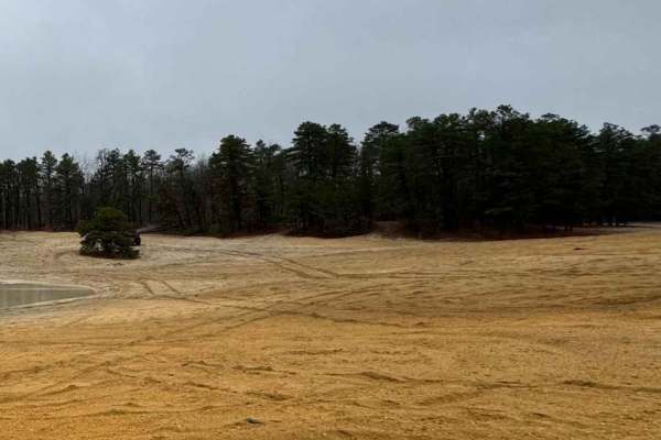
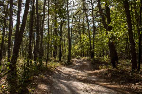
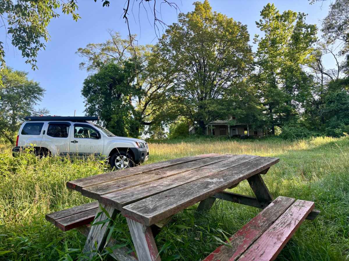
This approximately one-mile-long trail leads to a historic site on the North Branch of Rancocas Creek. Once a ranger station, the now-abandoned house sits beside what was once a popular kayak launch point. The entrance is off Rancocas Road near the New Jersey Turnpike, directly in front of Westampton Middle School. Follow the paved road in front of the school; it quickly turns into a dilapidated single lane path with a tight S-curve. This is rutted and can develop deep puddles after rain. Near the old house, the trail opens into a field that includes the former launch point, which also serves as a quiet fishing spot.

Photos of Melanie Landing

Difficulty

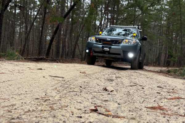
Most of the trail is a "2", but when it turns into a single line. It becomes broken gravel, then the S-turn gets very muddy with deep puddles. Will only enter with a 4x4 vehicle.

History

Was used to access the kayak/boat launch. Over the years the access road began to fall apart with no resources or interest to repair it. Its in the condition it is today.

Technical Rating

4

Status Reports

Add Status Report
Alex Moon
May 15, 2026
Open
Brezart Dobrova
May 13, 2026
Open
It honestly was a simple trail you do need ground clearance and approach i did tap my front skid plates but its not bad amd easily avoidable. The s part of the trail is really tight to i wouldn't recommend a full size truck. At the end of the trail it looks like a beautiful fishing spot. If you take a kayak or a boat at the corner of the creek you can catch some sun fish, catfish and even some bass.
Phillip D
Apr 23, 2026
Open
Was a fun trail to do in the evening. Pretty short about 15 minutes round trip. Was a great first trail to do. Slightly muddy and relatively flat. There's steep hill you can climb on the way back but can easily avoid it.
Matt Dauphinais
Mar 16, 2026
Open
Hit the trail mid-afternoon after a decent rain. It starts paved before turning to gravel, and conditions were pretty wet. A section along a large field was very muddy with thick, slick silt—I slid sideways briefly. The S-turn is tight and narrow, and a few overgrown spots could cause minor pinstriping if you’re not careful. Overall, it’s a short trail with a nice water view at the end. There’s also an old abandoned ranger station/former park caretaker’s house at the end of the trail along the river. It’s in rough shape and covered in graffiti. I didn’t have time to check it out, so I’m not sure if anyone hangs around there—something to keep in mind if you bring kids.
Nerdic Viking
Mar 10, 2026
Open
The trail was dry and smooth from the entrance to the river. That fun little narrow turn ledge is always fun. This "trail" only takes under 10 minutes end to end but you will be rewarded with a great little picnic/fishing spot.
Steve Vander Meer
Mar 07, 2026
Open
S turn was extremely muddy and deep given how much rain we’ve been getting. Didn’t go any further, just wanted to test out my truck in these conditions.
Jess P
Dec 07, 2025
Open
Went after a short overnight rain! It was just muddy enough to get some slippage but not so bad that I needed to worry about getting stuck. The puddles froze over in the night so they gave some extra traction too. This was my first trail ever but it was in the perfect condition!
Danny Modzelewski
Nov 28, 2025
Open
Not to bad for a stock truck
Nicolas Nieves
Nov 23, 2025
Open
Little muddy but can get through with 4x4
Alvin George
Aug 10, 2025
Open
pretty easy trail except for two or three points where the trail got a bit difficult. at one point, one of the tires of my Bronco was not on the ground. this was my first trail and I definitely could not have done it with a 2WD or a low clearance 4WD. it has not rained in over a week but there was still mud and standing water in one area. once you get to the water side, it's very easy

Melanie Landing Trail can be accessed by the following ride types:

  • High Clearance

Melanie Landing Map

The onX Offroad Difference

onX Offroad combines trail photos, descriptions, difficulty ratings, width restrictions, seasonality, and more in a user-friendly interface. Available on all devices, with offline access and full compatibility with CarPlay and Android Auto. Discover what you're missing today!

Open Trail Map