Trail Overview
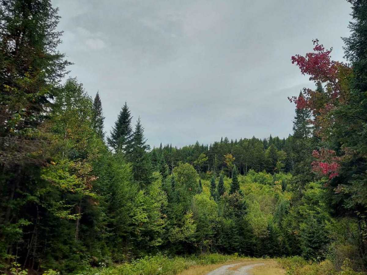
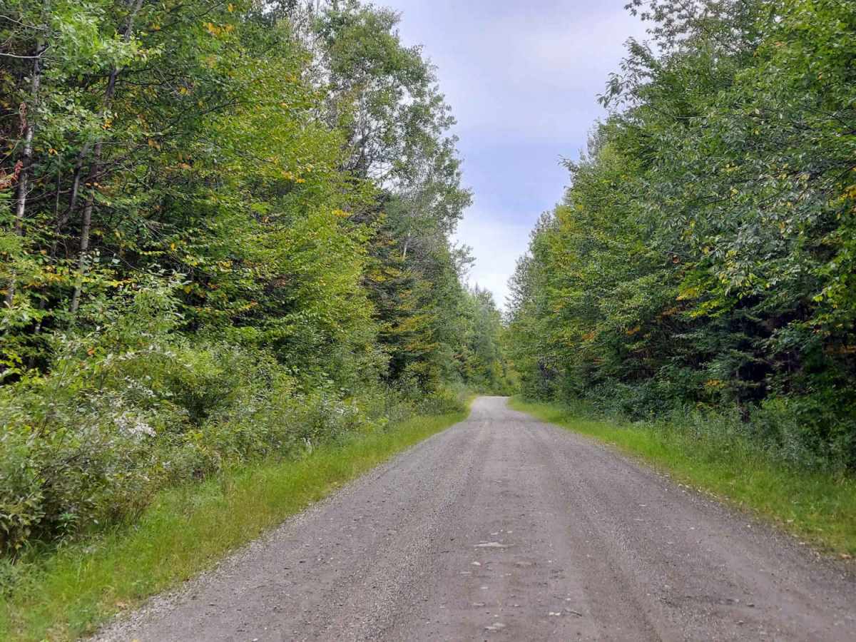
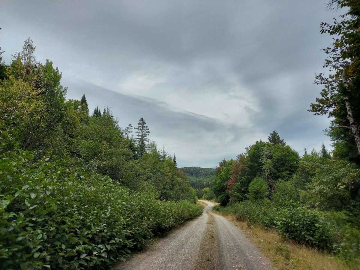
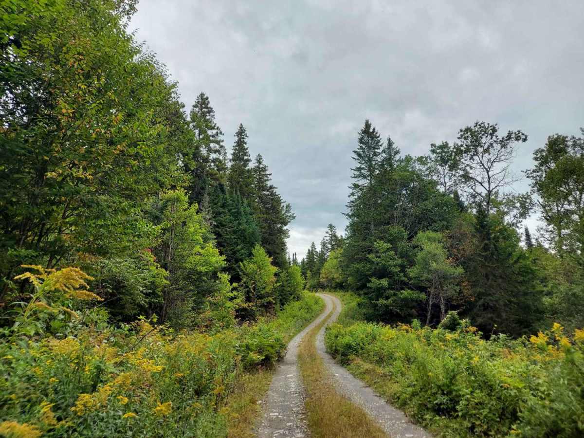
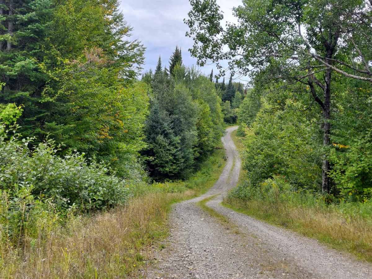
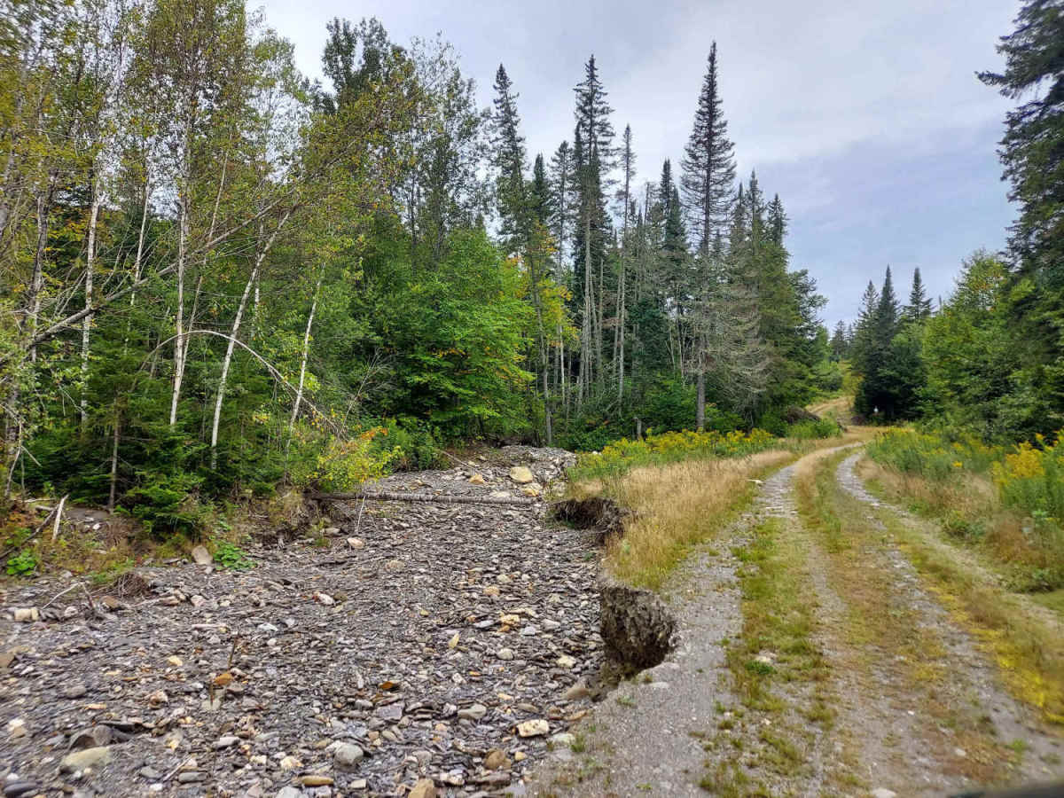
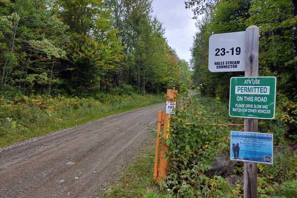
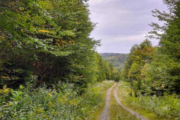
West Side Indian Stream Road is an out-and-back trail that follows Indian Stream, crossing numerous feeder streams and skirting the remains of a former dam pond. The road surface varies significantly; the southern end consists of standard gravel, but as you travel north, it becomes increasingly degraded, transitioning into a two-track path with significant overgrowth along the edges and center. Users should be cautious of washouts and collapsed culverts that are often unmarked. As a multi-use trail and official reroute for Comstock Road, this path connects traffic to the Hall Stream connector. Exercise caution at all times, as this is a working forest environment shared by ATVs, side-by-sides, logging trucks, and heavy equipment.
Difficulty
Please exercise caution, as there are occasional washouts and collapsed culverts along the route; however, the trail remains non-technical with no major obstacles, particularly on the northern end. Be advised that you will likely encounter heavy machinery—including trucks, bulldozers, and skidders—operating within this working forest. Please remain alert and always yield the right of way to these vehicles.
History
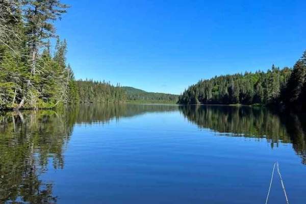
The road skirts the edges of an old mill pond where you can park on the side and walk down to the site of the former Kim Day Dam, which used to back up the Indian Stream for industry. Today, the Connecticut Lakes Headwaters remains a working forest, with approximately 146,000 acres managed as commercial forestry lands while also providing extensive public recreational access. The State of New Hampshire works with the landowner to maintain roads and recreational opportunities throughout the property. This history gives the Connecticut Lakes trail system much of its character. What may appear today as a gravel road, ATV route, or remote forest trail is often part of a much older transportation network created by generations of loggers and forest workers. The continued use of these corridors for recreation represents an evolution of the original logging-road system rather than a completely separate trail network.