Moose Pond Road

Total Miles2.1
Technical Rating
1Easy
Best TimeSpring, Summer, Fall
Trail TypeFull-Width Road
Accessible By
Open Trail Map

Trail Overview

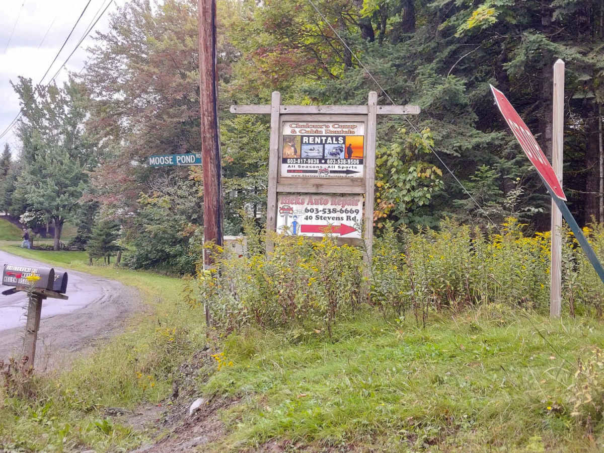
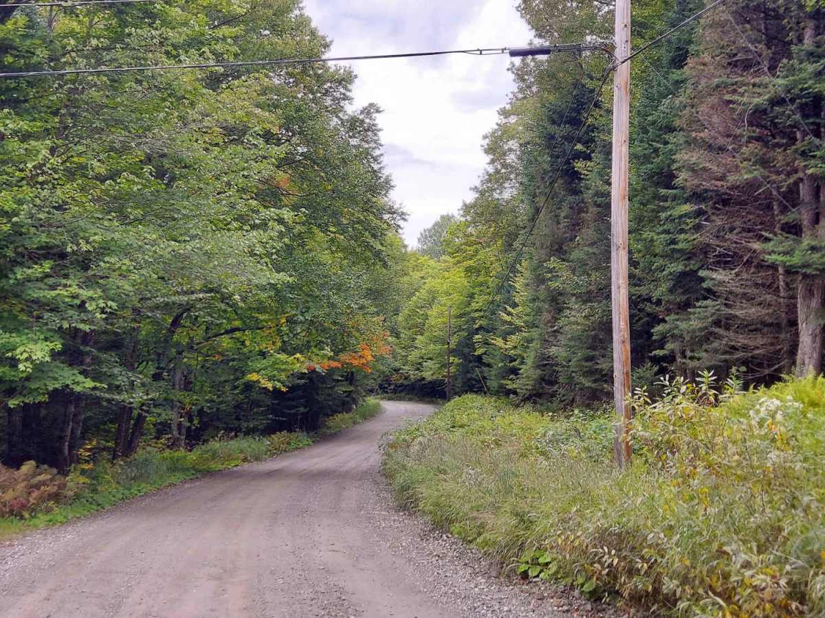
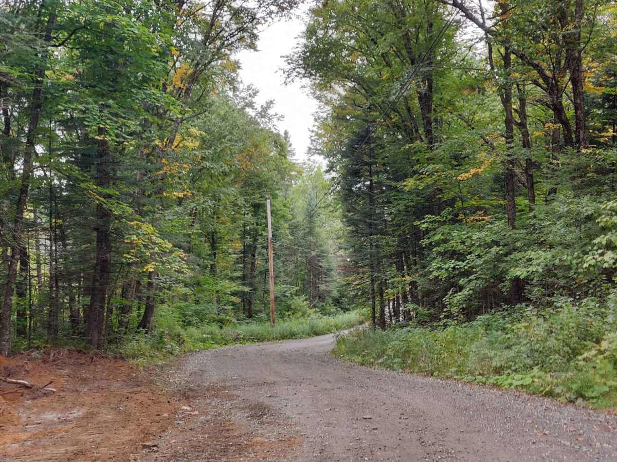
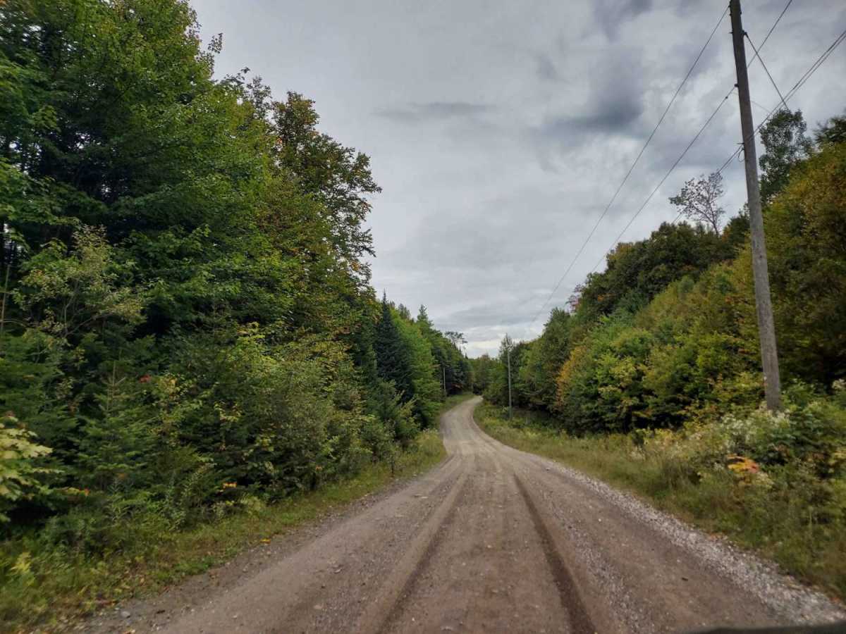
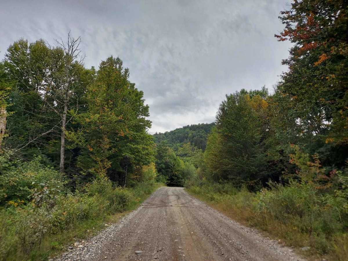
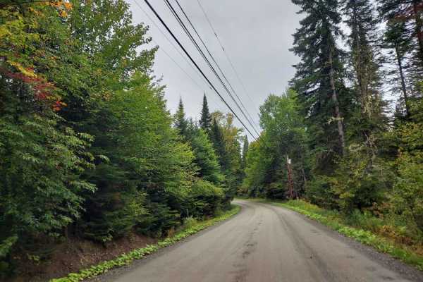
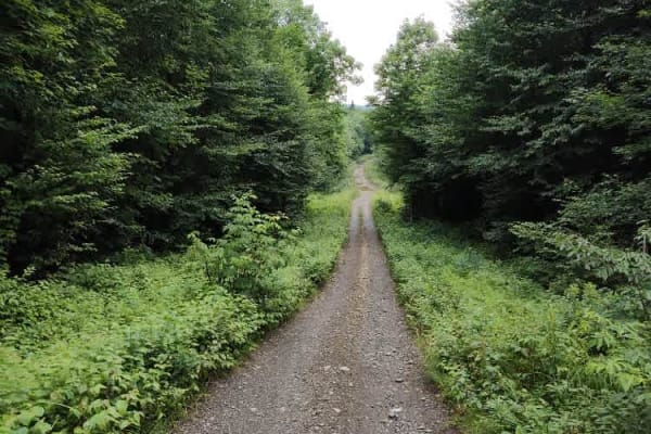
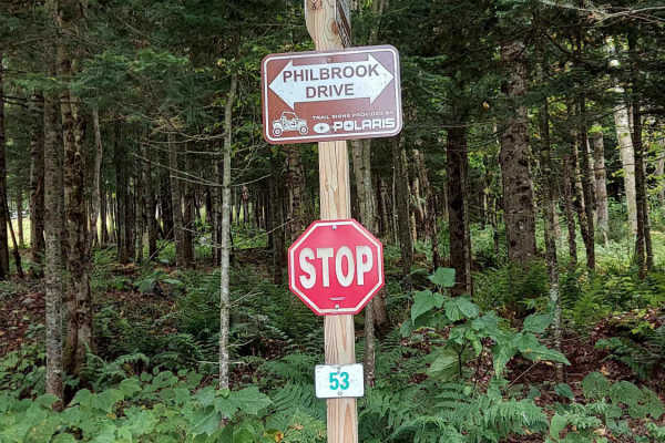
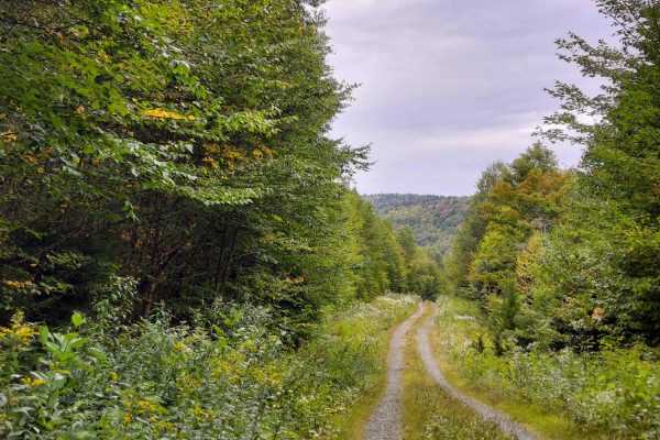
Moose Pond Road is a versatile, multi-use connector trail that links the greater Pittsburg, New Hampshire, area to the Indian Stream Road access corridor. The route begins near residential camps and private properties before transitioning into the rugged borderlands of the Connecticut Lakes headwaters working forest. The trail is wide and features a varied surface, ranging from hard-packed gravel to sections of dirt and mud.

Photos of Moose Pond Road

Difficulty

This is a well-maintained, relatively smooth gravel road with no notable obstacles.

Technical Rating

1

Moose Pond Road Trail can be accessed by the following ride types:

  • 50 Inch
  • 60 Inch
  • High Clearance
  • Full Width

Moose Pond Road Map

The onX Offroad Difference

onX Offroad combines trail photos, descriptions, difficulty ratings, width restrictions, seasonality, and more in a user-friendly interface. Available on all devices, with offline access and full compatibility with CarPlay and Android Auto. Discover what you're missing today!

Open Trail Map