Trail Overview
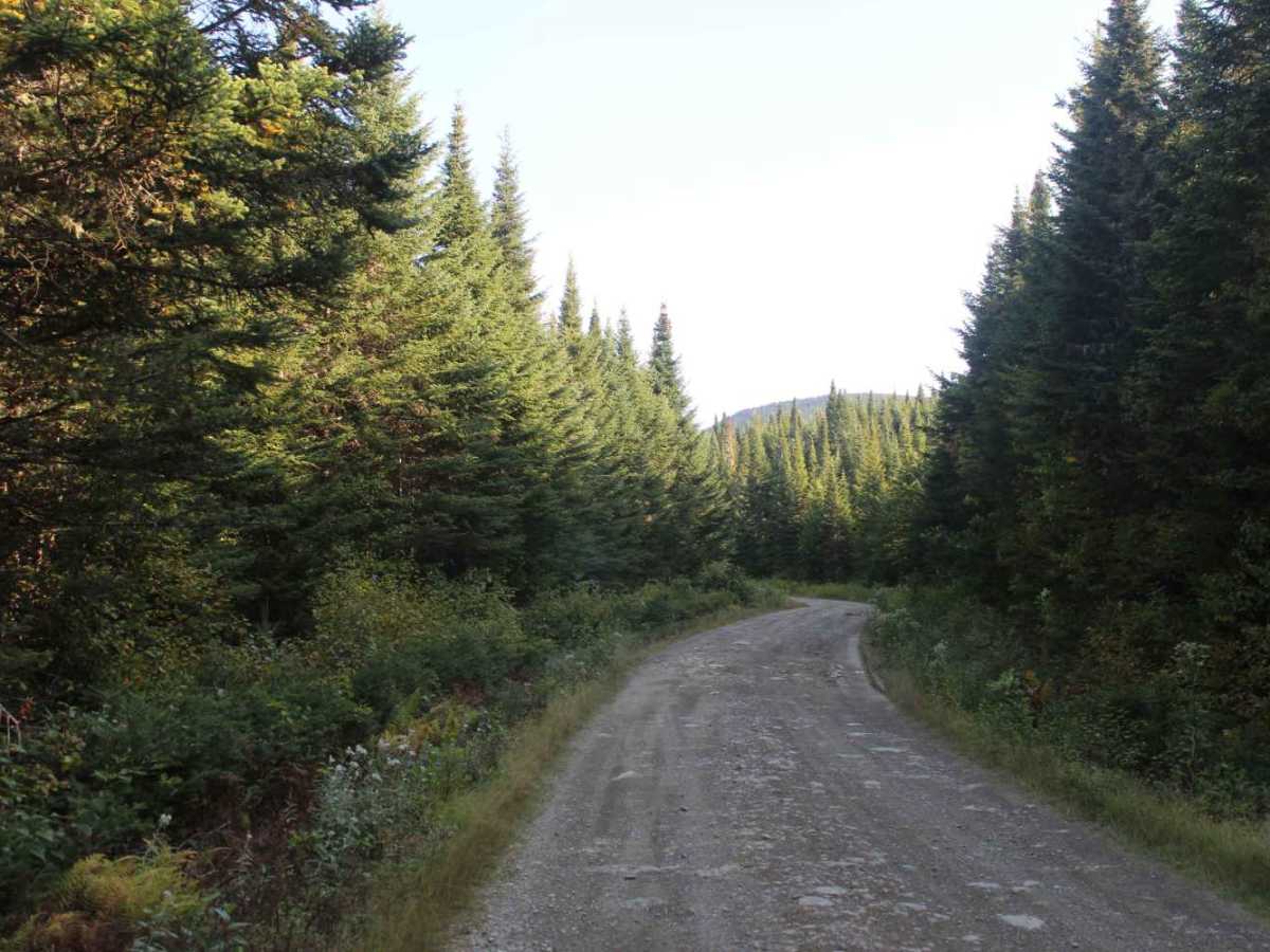
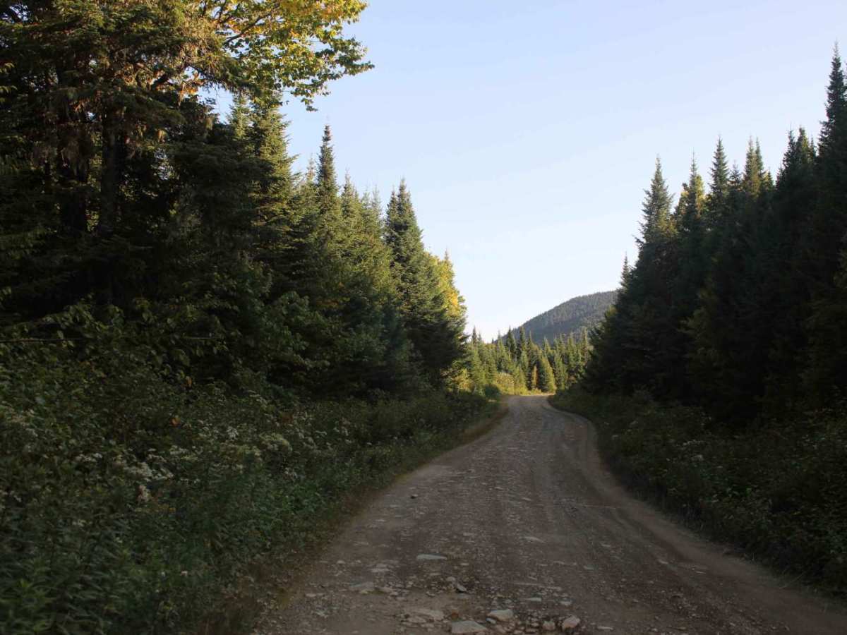
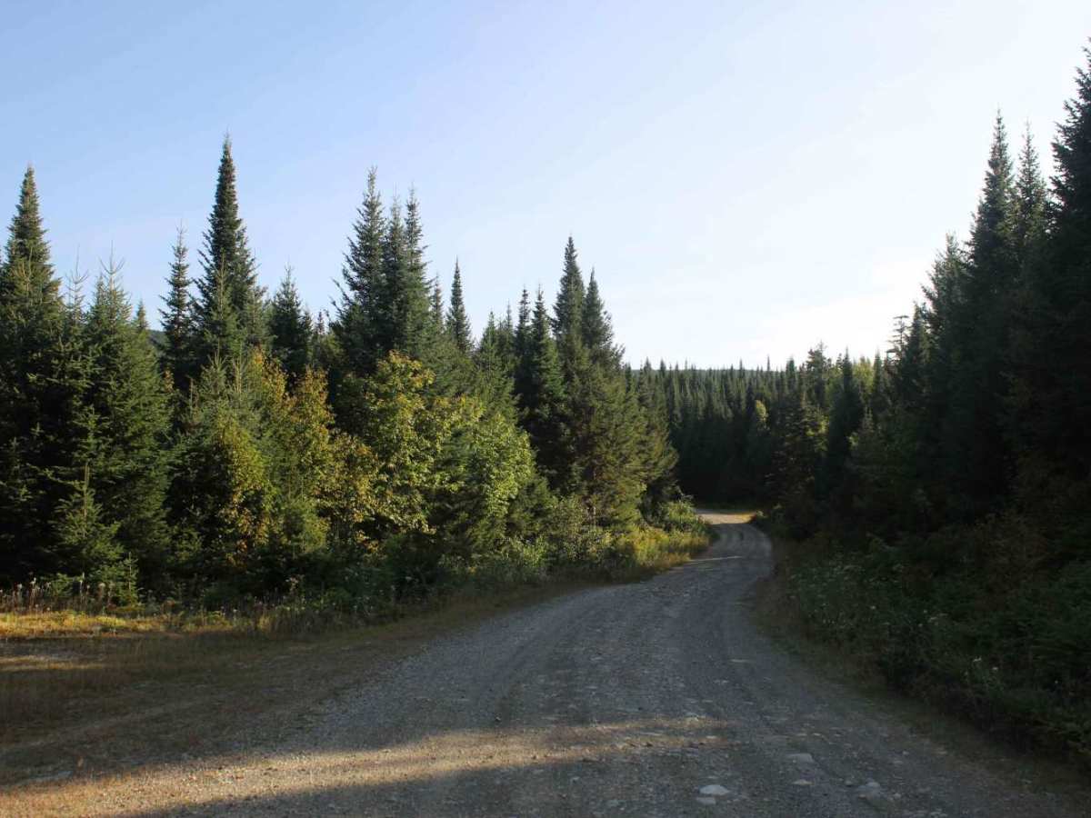
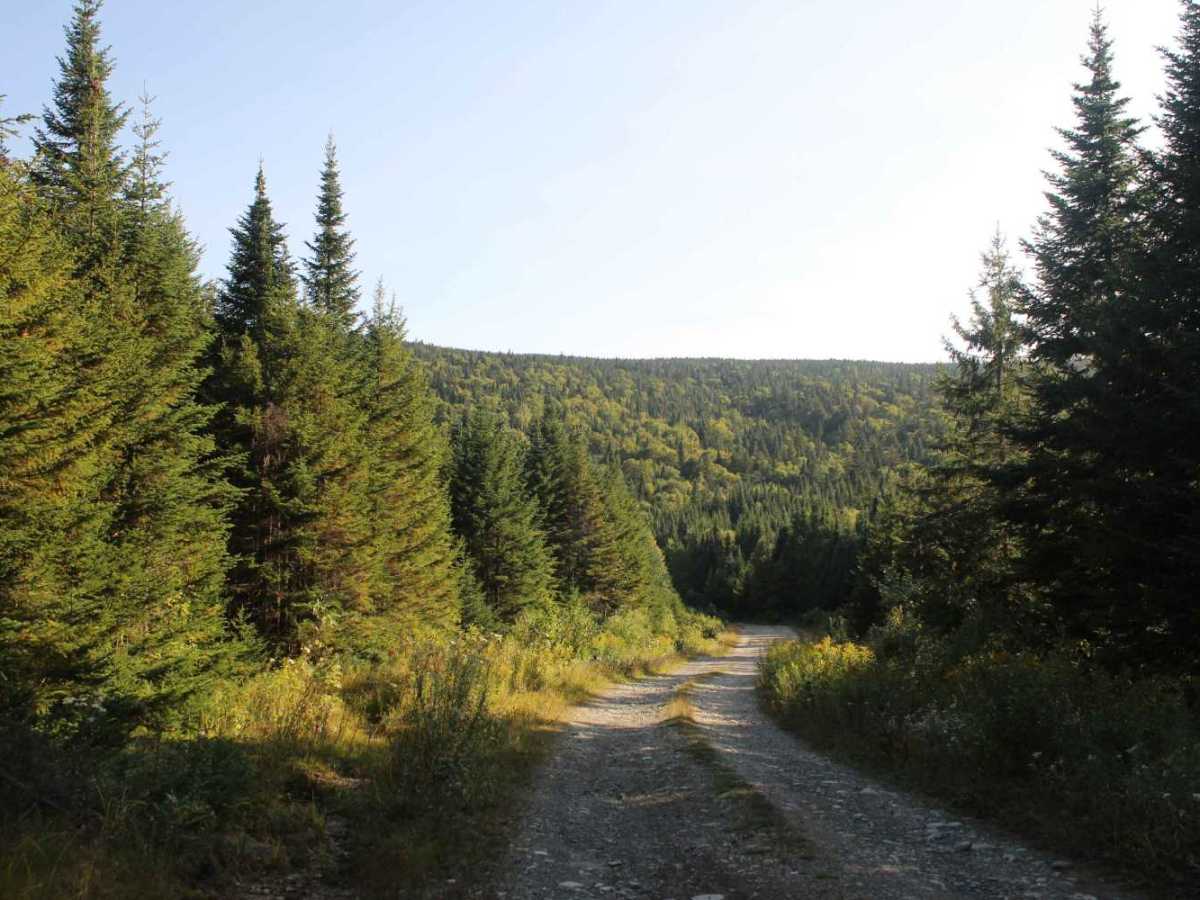
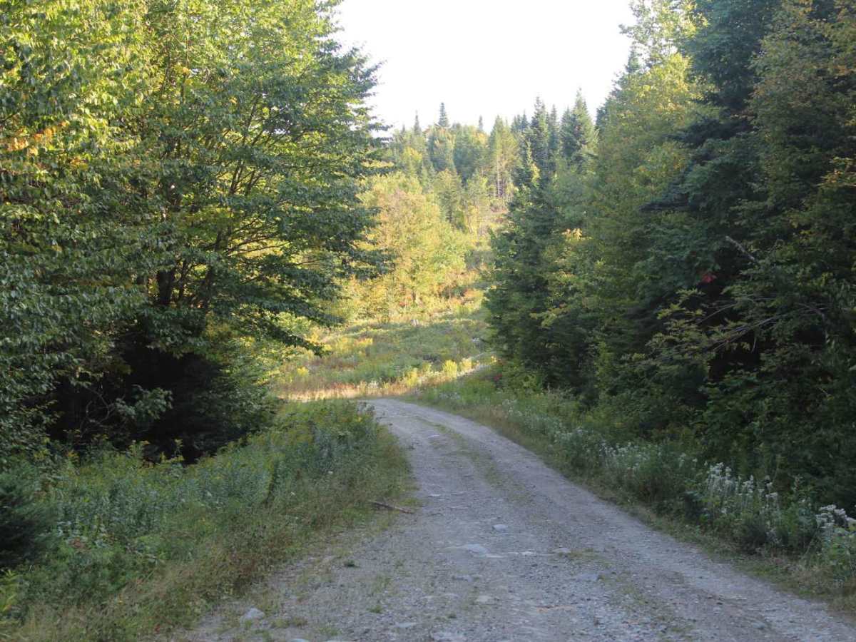
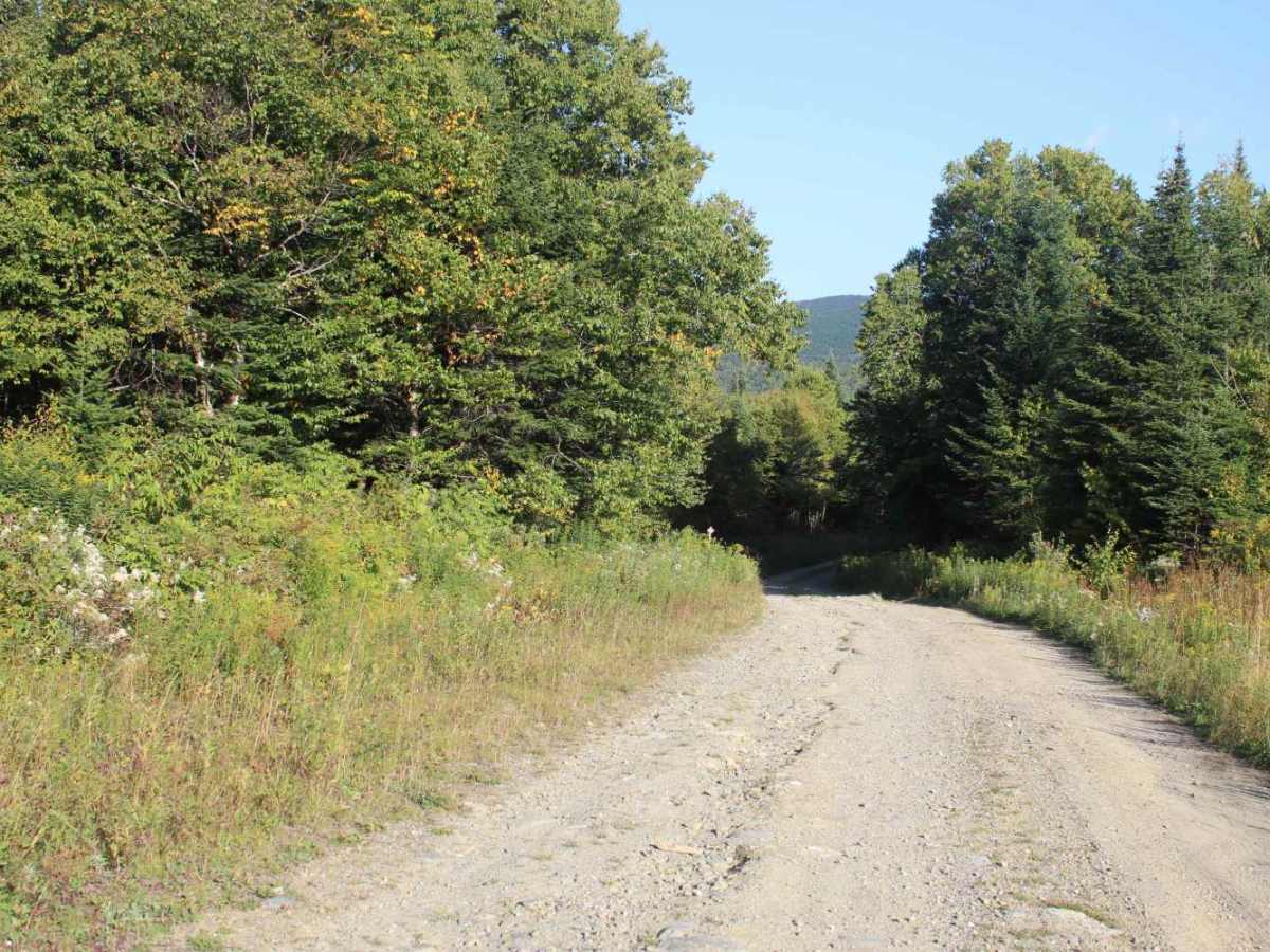
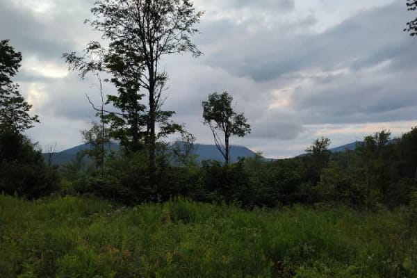
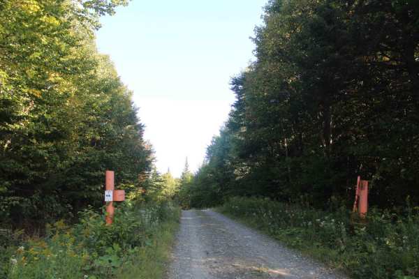
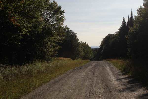
Waterfall Brook Road is a quintessential trail for this region, featuring rough gravel and loose stone lined with dense conifer forests and framed by distant mountain vistas. While the route is wide enough for vehicles to pass, please drive cautiously to protect both your equipment and the trail. Those who navigate the terrain carefully will be rewarded with spectacular views at the Diamond Ridge Overlook, where the trail concludes.
Difficulty
This is a well-maintained but rough-surfaced road with no significant technical obstacles, but it can be tough on both man and machine. Please use caution, as this route passes through a working forest; heavy machinery—including trucks, bulldozers, and skidders—is frequently present and always has the right of way.
History
During the height of the logging era, the remote forest required an extensive network of access routes. Winter logging roads, haul roads, skid roads, and other woods roads were developed to move men, equipment, and timber through the forest. In the spring, some of the timber harvested during the winter was historically moved by water, with log drives traveling down the Connecticut River toward mills farther south.
As logging methods and transportation changed, many of these early woods roads remained as permanent corridors through the forest. Improved roads and motorized equipment gradually replaced the traditional log-drive system, while the old logging network continued to provide access for forestry, hunting, fishing, and travel into the remote portions of the Connecticut Lakes region.
The modern trail system is therefore closely connected to this earlier logging infrastructure. Many of the roads used today for recreation originated as routes created to access timber stands, logging operations, camps, and remote portions of the working forest. Rather than being constructed solely as a modern recreational trail system, much of the network evolved from the transportation infrastructure established during the region's logging history.