Trail Overview
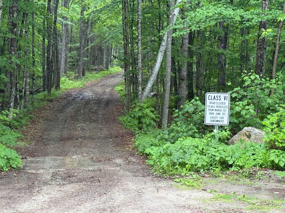
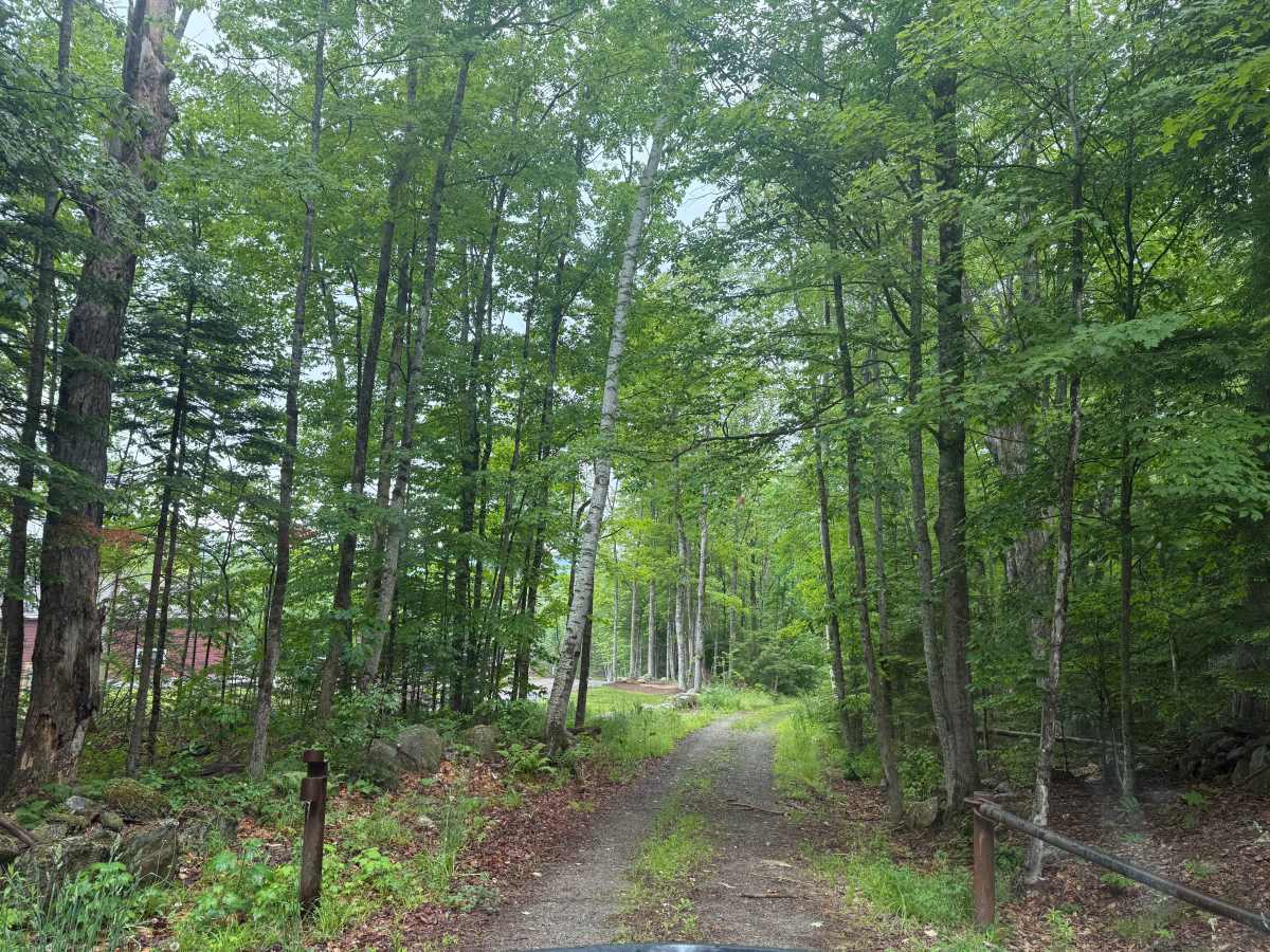
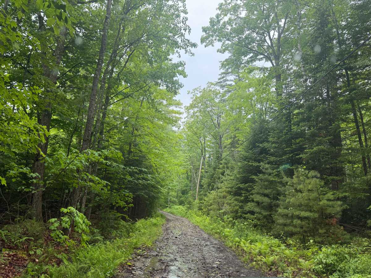
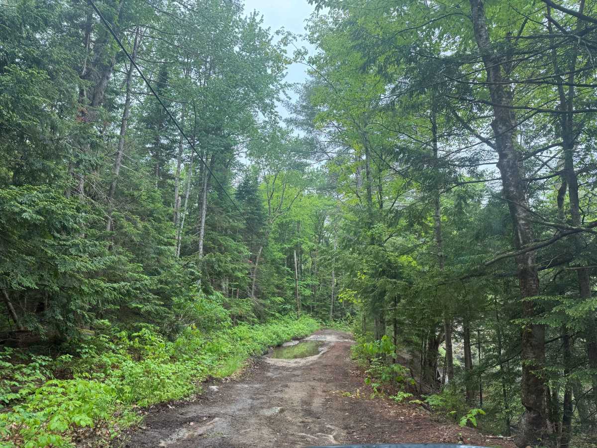
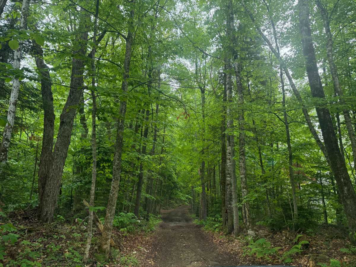
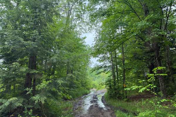
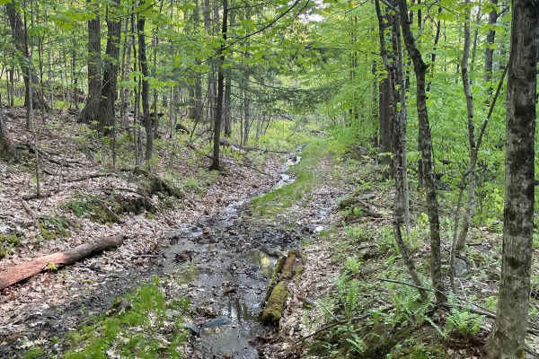
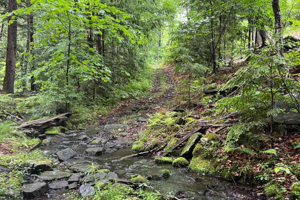
This route is a grouping of several New Hampshire Class 6 roads running between Jimmy Road to the east and Mountain Road to the west. It can be run in either direction. From east to west, it starts on Jimmy Road, which is an easy portion of the route. (Note there is a portion of Jimmy Road which runs parallel to a private road and through a small neighborhood. Be sure to be respectful and drive slowly through this section, and stay on the marked trail. The residents have signs which direct you to stay on the trail and off their properties.) The route turns west onto Brighton Road as you drive around the boundary of the Ruger Estate land. The route then turns southwest onto Sichol Swamp Road and then merges into Mountain Road. Mountain Road is the most difficult portion of this route, with a 650-foot elevation gain over approximately a one-mile stretch. It is a rocky climb with some difficult sections that may pose challenges for a stock 4x4. We ran it in a Jeep with 35-inch tires and a 2.5-inch lift, and it was no problem. Mountain Road ends at Cornish Turnpike, another great Class 6 road.