Trail Overview
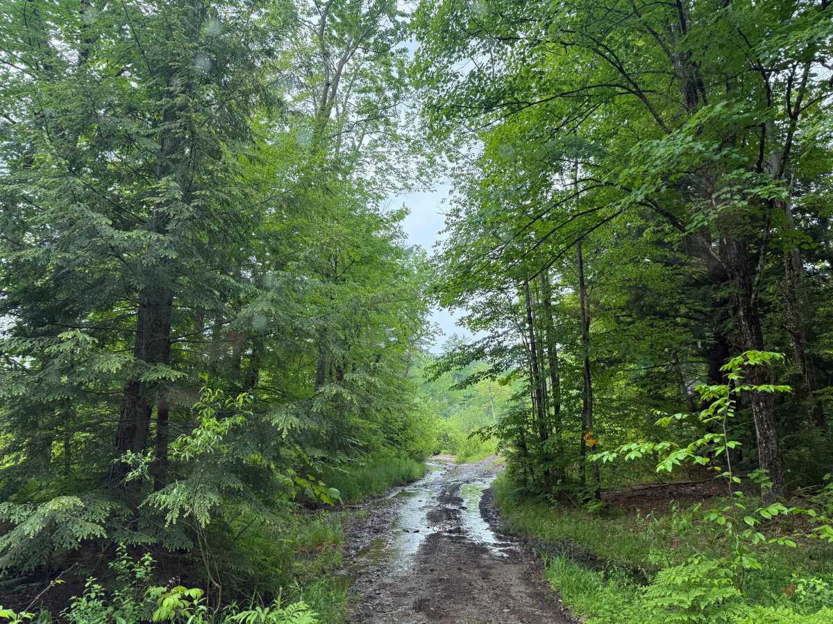
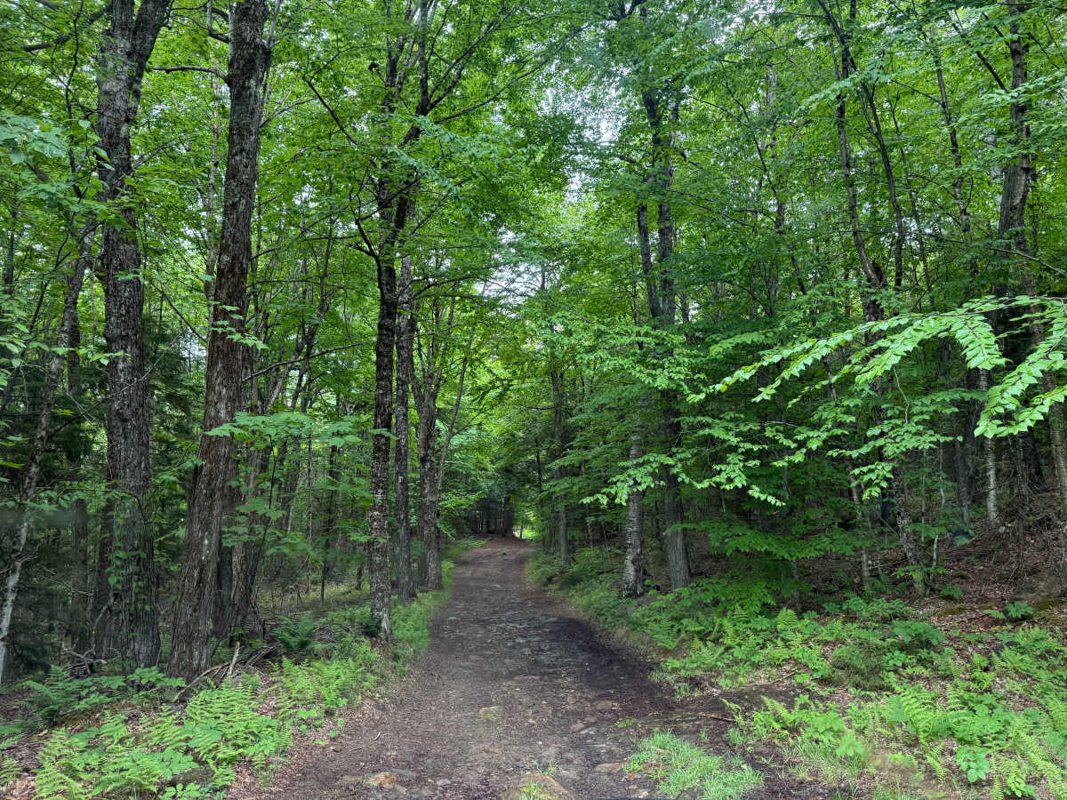
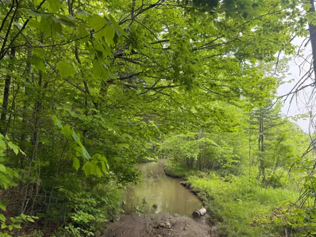
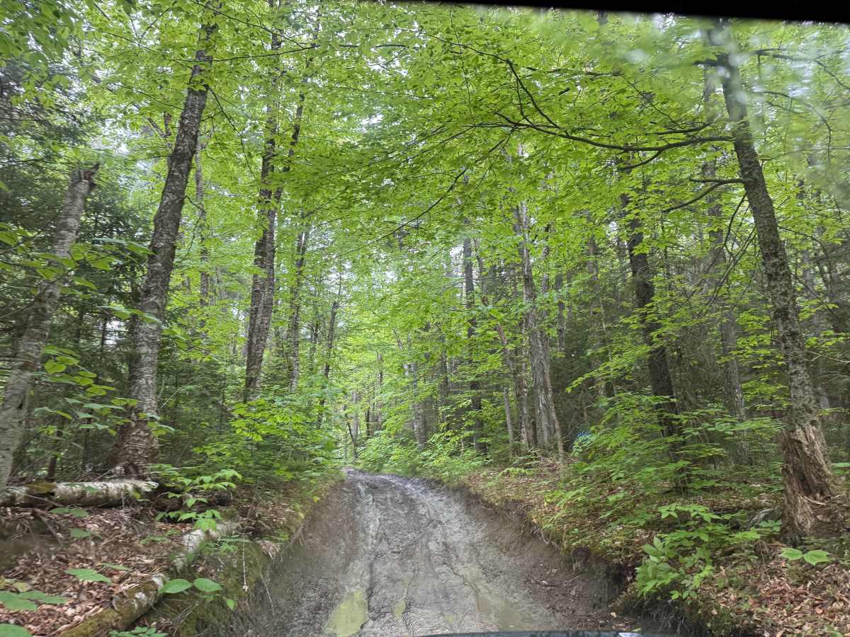
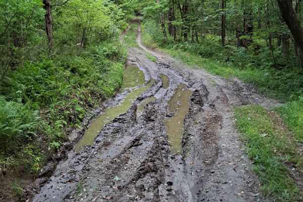
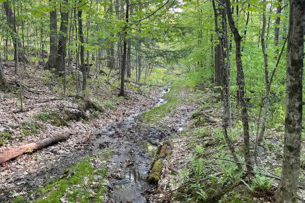
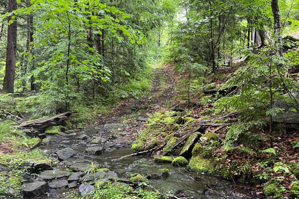
Croyden Turnpike is a Class 6 New Hampshire road that runs north/south between East Plainfield to the north and Croyden Flat to the south. The trail is generally easy, except for a few obstacles within it, which result in the higher rating. We ran it north to south, and the primary obstacles are water/mud holes that can be quite large and deep, so if you run it after a rainy period, it will be more difficult. There are bypasses on most of the water obstacles, but a couple do not have an easier option. There is also a small cliff obstacle that involves about an 8-foot gradual drop down (there is a bypass).
Difficulty
Most of the trail is easy, but the 4 rating is because of several water and rock obstacles. If the trail is "wet' from recent rains, the water obstacles can be quite deep and require a lifted 4x4, ideally with larger tires.
History
The Croydon Turnpike, incorporated on June 21, 1804, was an essential early 19th-century toll road in New Hampshire, serving to connect towns from Lebanon through Plainfield, Grantham, Croydon, Newport, and Lempster to the Second New Hampshire Turnpike in Washington. Stretching approximately 34 miles, it cost around $35,948 to construct and played a pivotal role in transforming the regional economy by improving overland travel and facilitating the movement of goods. This turnpike helped shift local agricultural practices from subsistence farming to commercial farming, as it allowed farmers in Plainfield and surrounding areas to reach markets more efficiently. While the exact details of the East Plainfield segment's history remain less documented, the Croydon Turnpike significantly contributed to the area's development and connectivity during its operational period.