Craney Pond Road

Total Miles2.8
Technical Rating
4Moderate
Best TimeSpring, Summer, Fall
Trail TypeFull-Width Road
Accessible By
Open Trail Map

Trail Overview

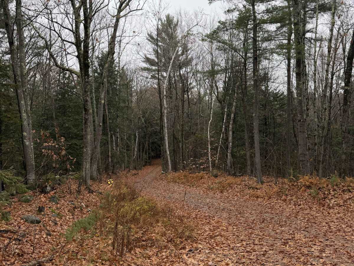
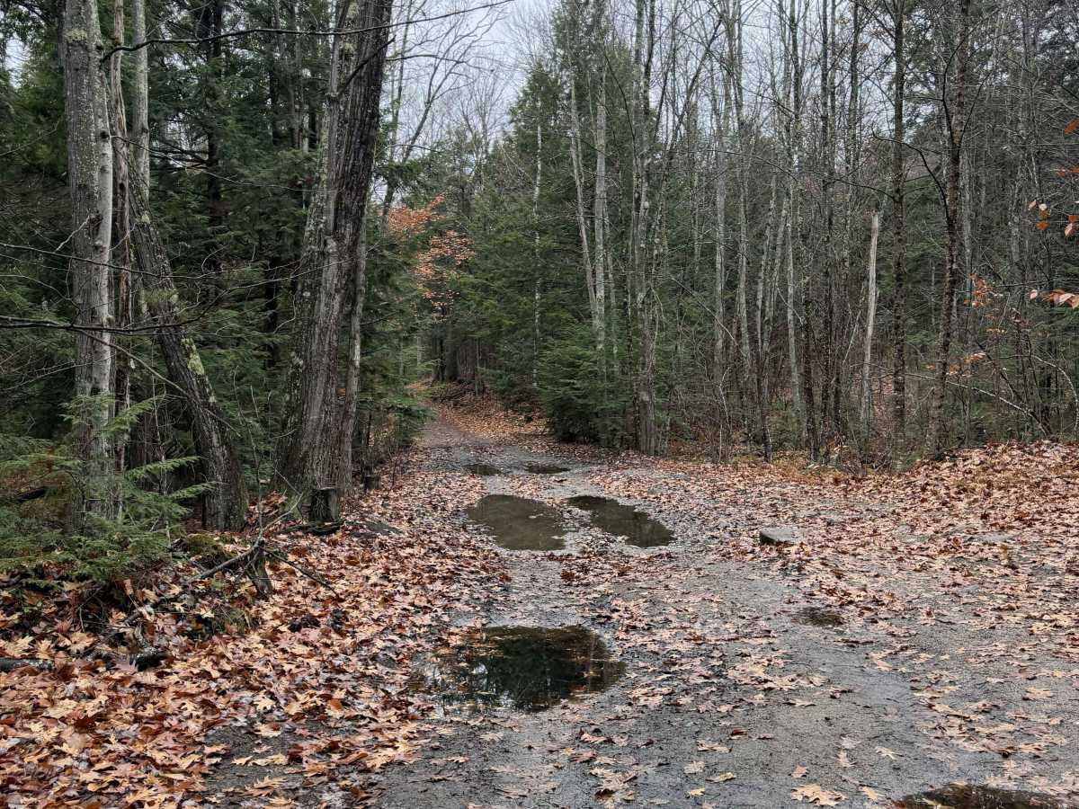
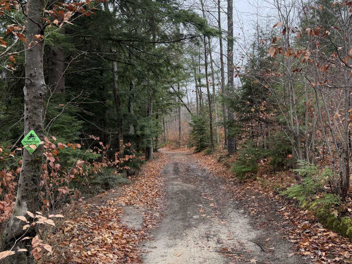
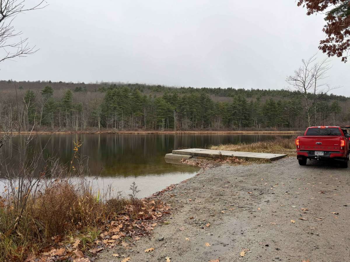
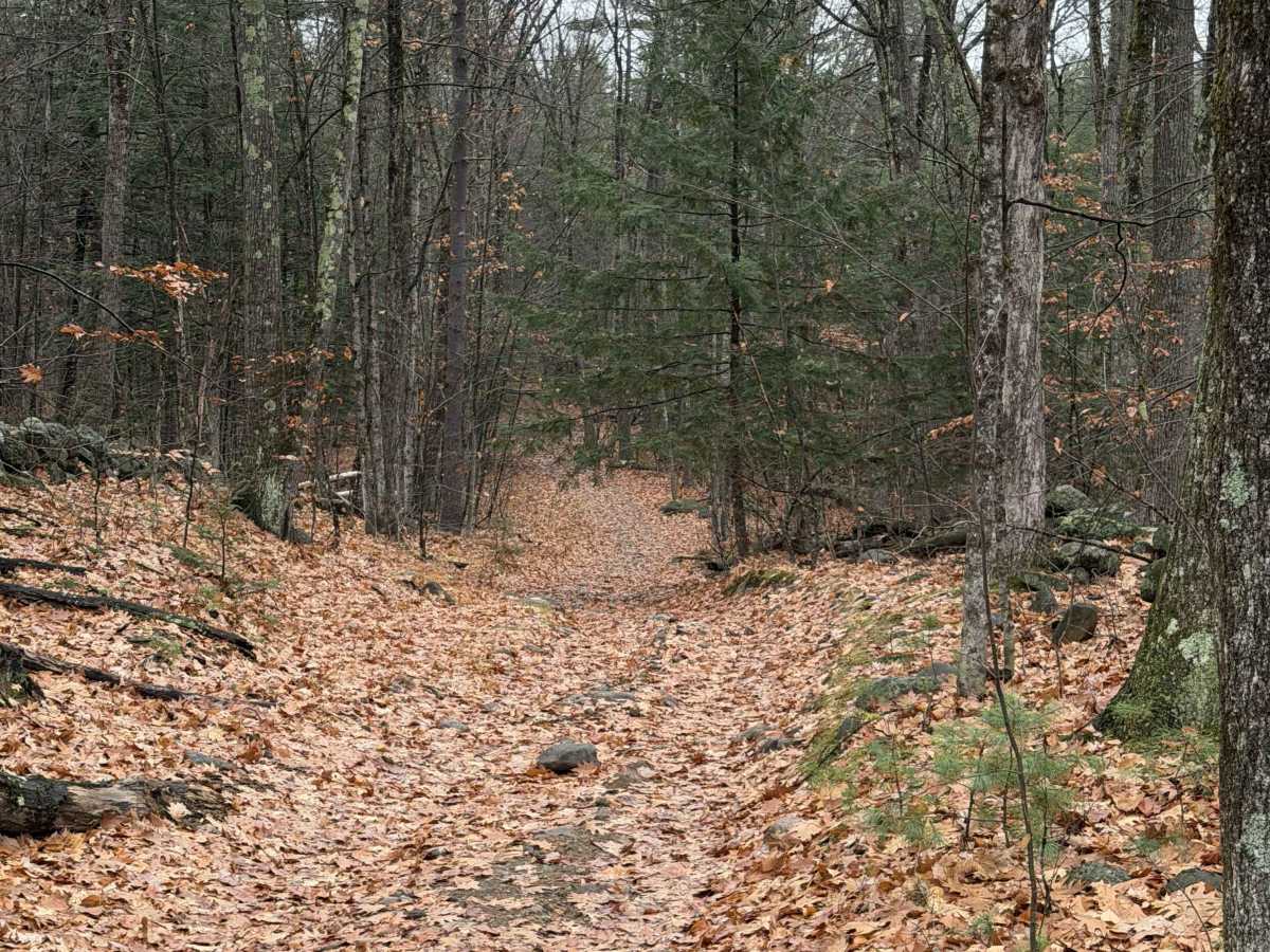
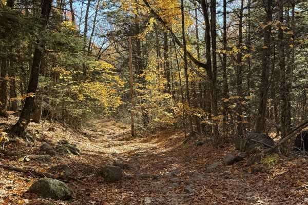
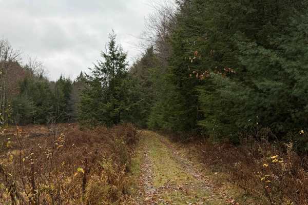
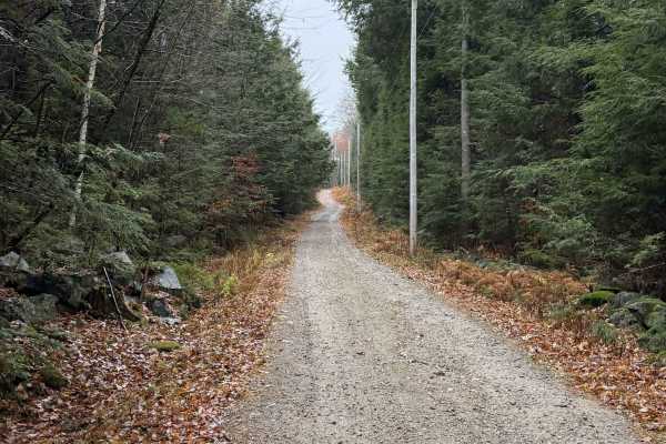
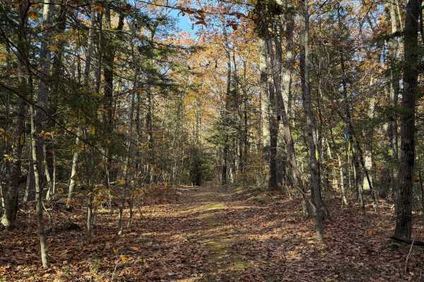
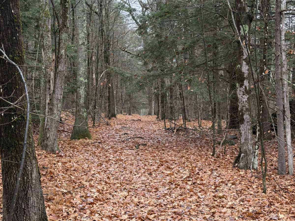
This route continues from a maintained dirt road through a residential area, with stone walls lining both sides and marking property boundaries. The trail veers right upon reaching a driveway. The beginning of the second section is slightly overgrown but eventually clears up. After crossing Browers Road, the trail follows the eastern side of Craney Pond toward the base of Pats Peak, with ski slopes running alongside the route. Some sections are severely washed out and feature very large obstacles. A bypass is available around the most challenging section.

Photos of Craney Pond Road

Difficulty

Most of this trail is rated 4/10, with one more challenging section rated 6/10 that can be bypassed.

Technical Rating

4

Craney Pond Road Trail can be accessed by the following ride types:

  • High Clearance
  • Full Width

Craney Pond Road Map

The onX Offroad Difference

onX Offroad combines trail photos, descriptions, difficulty ratings, width restrictions, seasonality, and more in a user-friendly interface. Available on all devices, with offline access and full compatibility with CarPlay and Android Auto. Discover what you're missing today!

Open Trail Map