Toby Hill Road

Total Miles1.5
Technical Rating
4Moderate
Best TimeSpring, Summer, Fall
Trail TypeFull-Width Road
Accessible By
Open Trail Map

Trail Overview

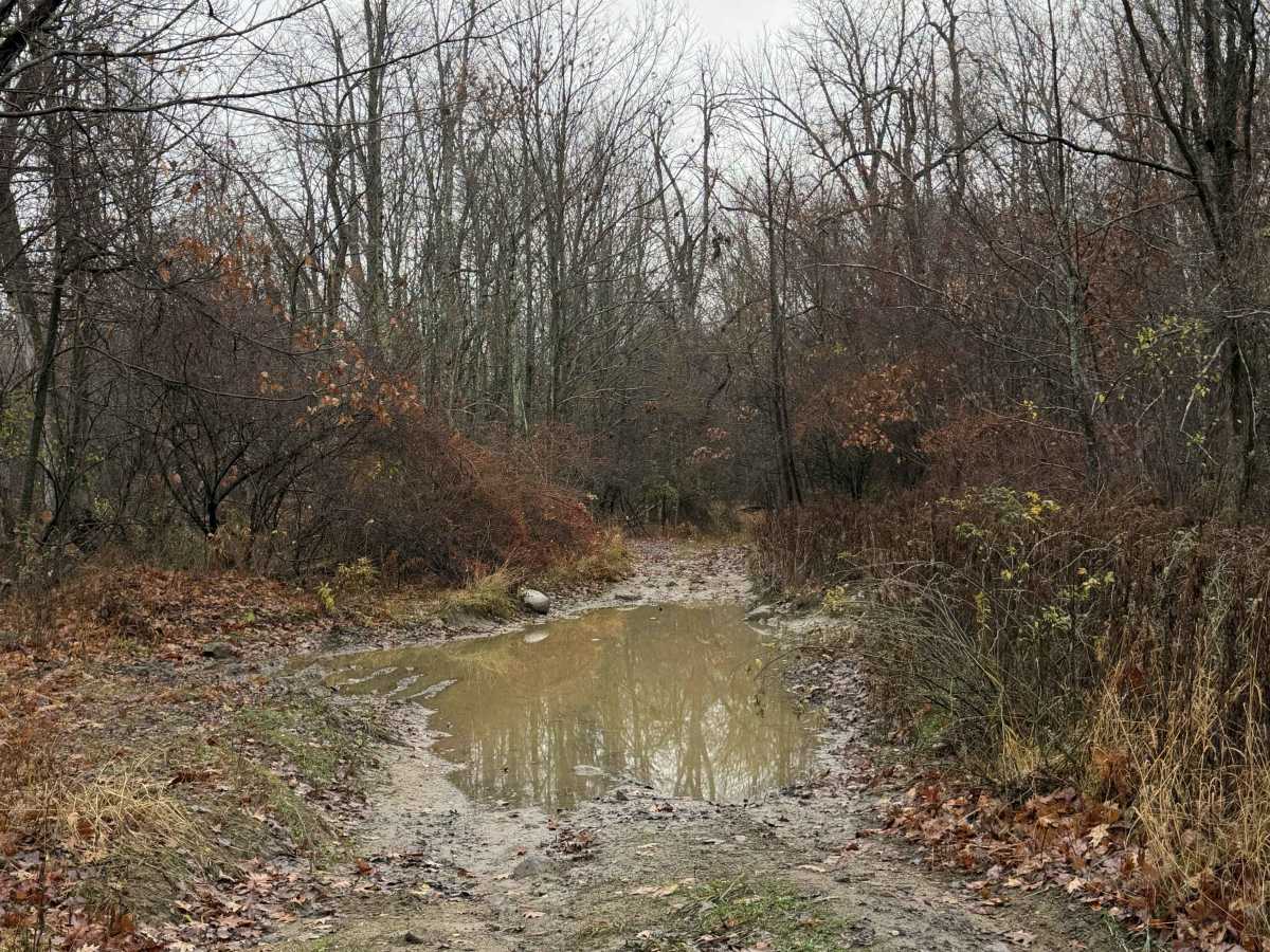
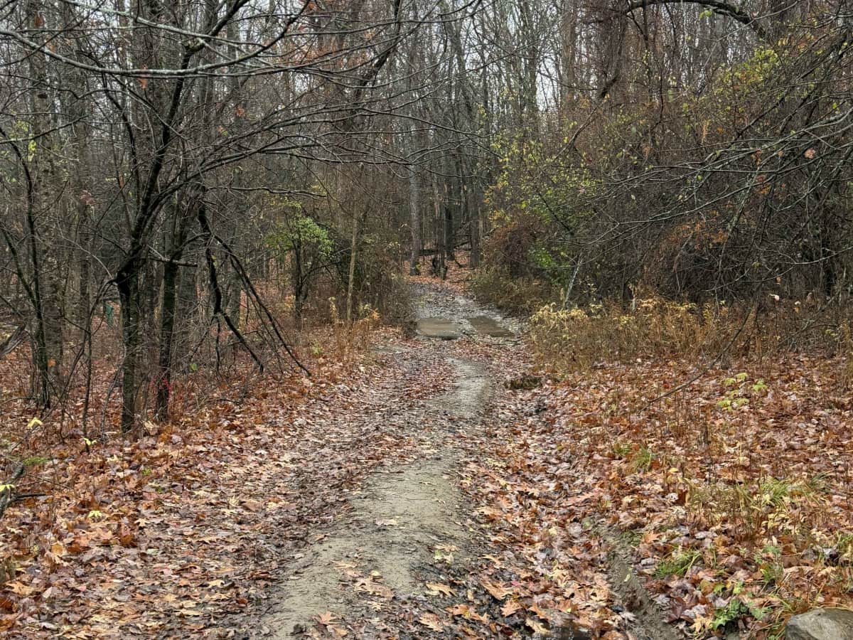
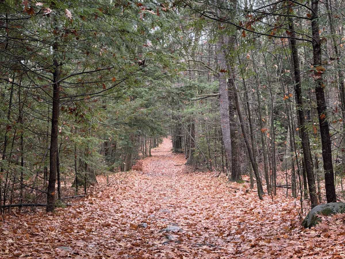
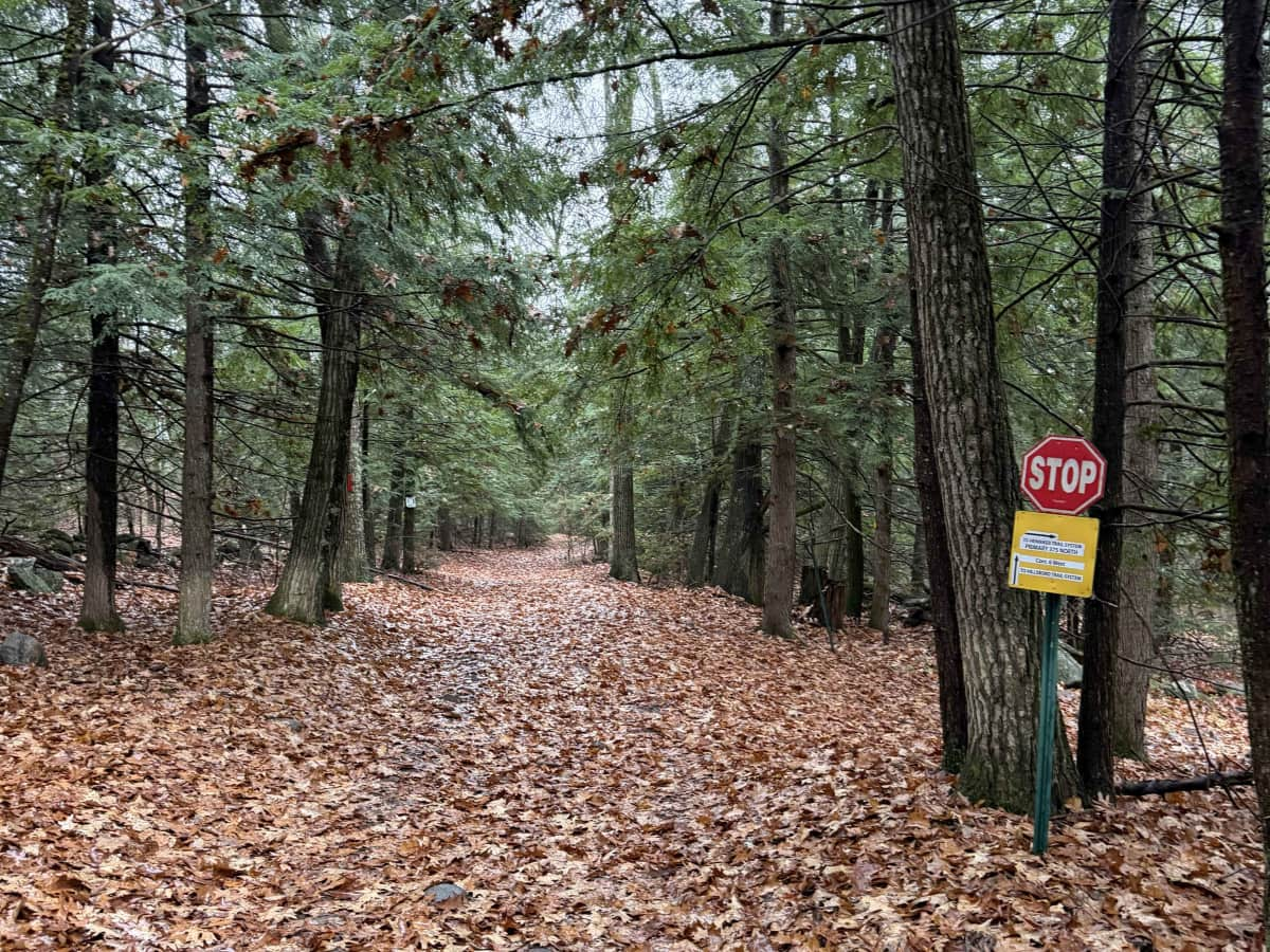
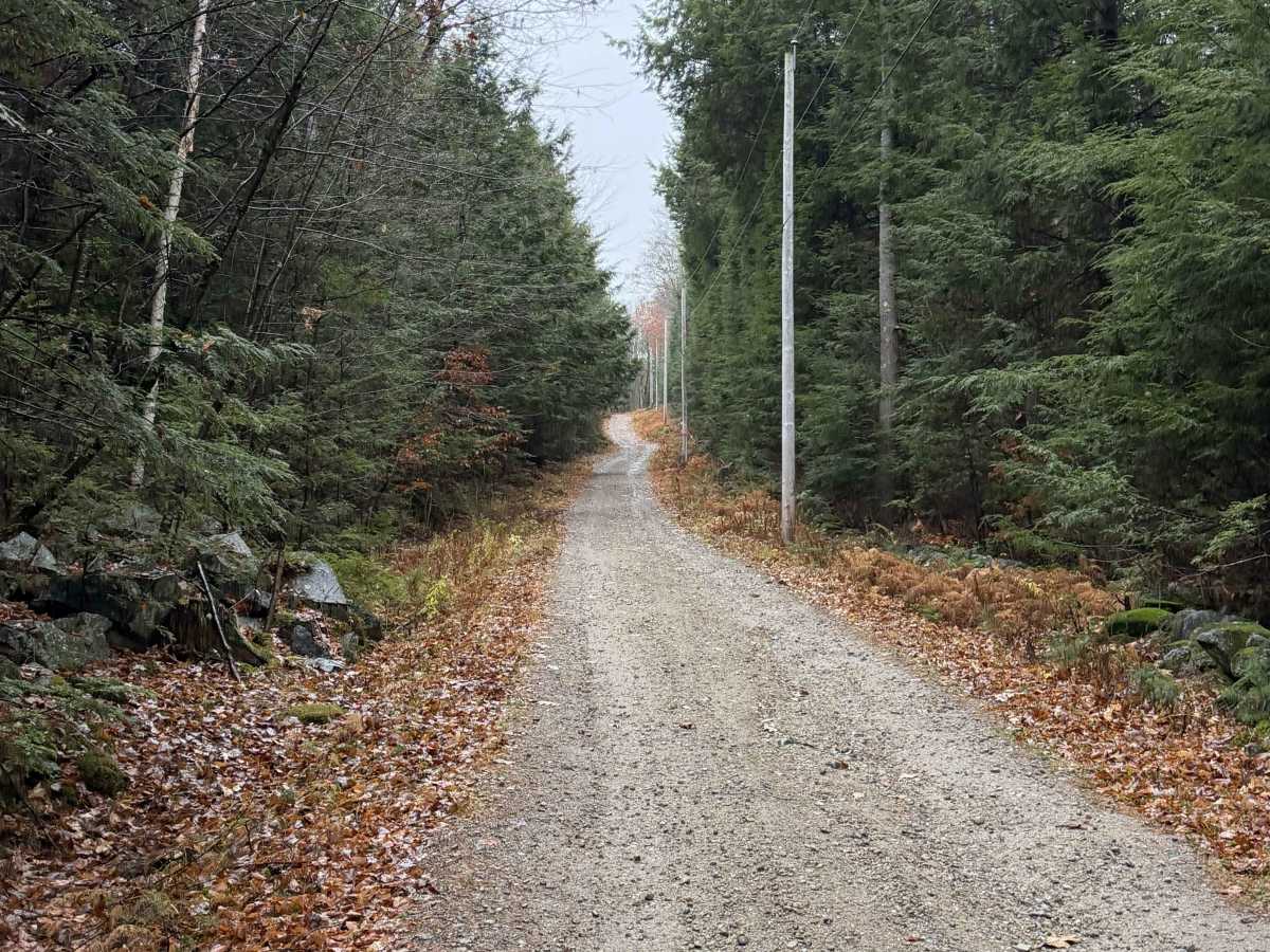
This marked Class VI road begins as a shared gravel driveway before climbing Toby Hill. The route passes a cellular tower property on the right, followed by a sharp right turn. Continuing straight at this point leads to private property. At the time of mapping, the trail was rutted and muddy. The route continues uphill to the summit of Toby Hill, where a cemetery is located. Farther along, a stop sign marks a snowmobile junction where snowmobile trails branch off to the right. Continue straight as the trail descends, crossing ATV trail networks and State Highway 149 before ending at Sawyer Road.

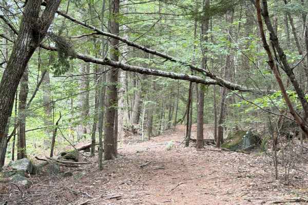
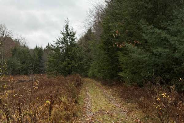
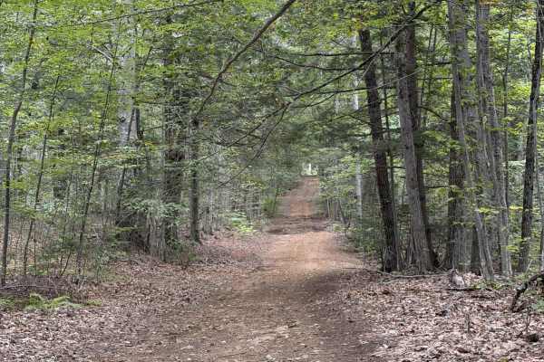
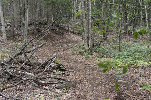
Photos of Toby Hill Road

Difficulty

This trail features deep mud holes.

Technical Rating

4

Toby Hill Road Trail can be accessed by the following ride types:

  • High Clearance
  • Full Width

Toby Hill Road Map

The onX Offroad Difference

onX Offroad combines trail photos, descriptions, difficulty ratings, width restrictions, seasonality, and more in a user-friendly interface. Available on all devices, with offline access and full compatibility with CarPlay and Android Auto. Discover what you're missing today!

Open Trail Map