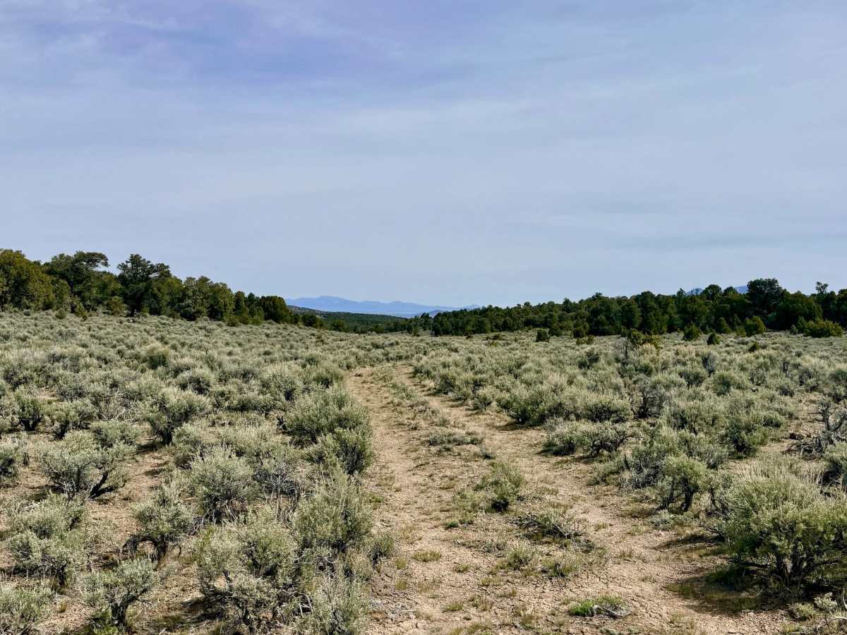
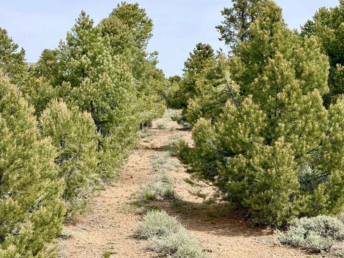
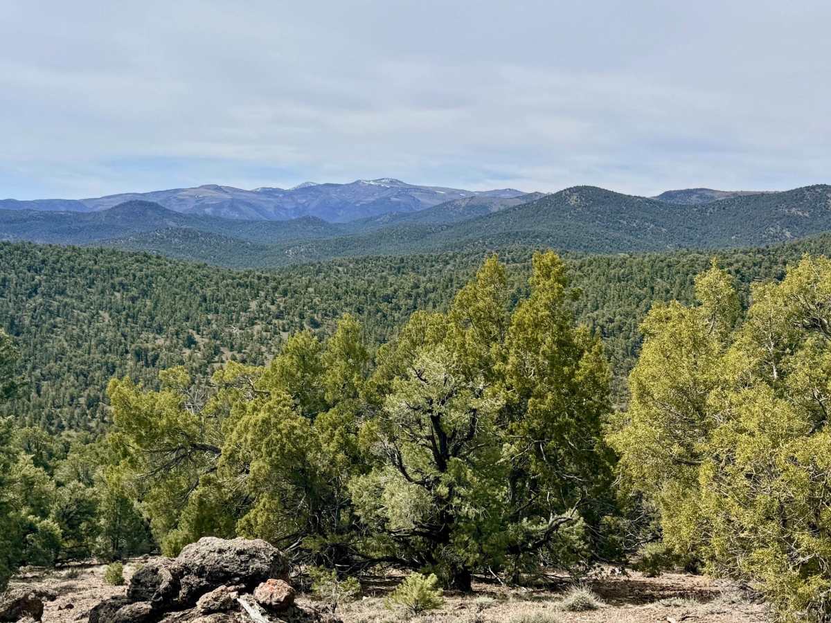
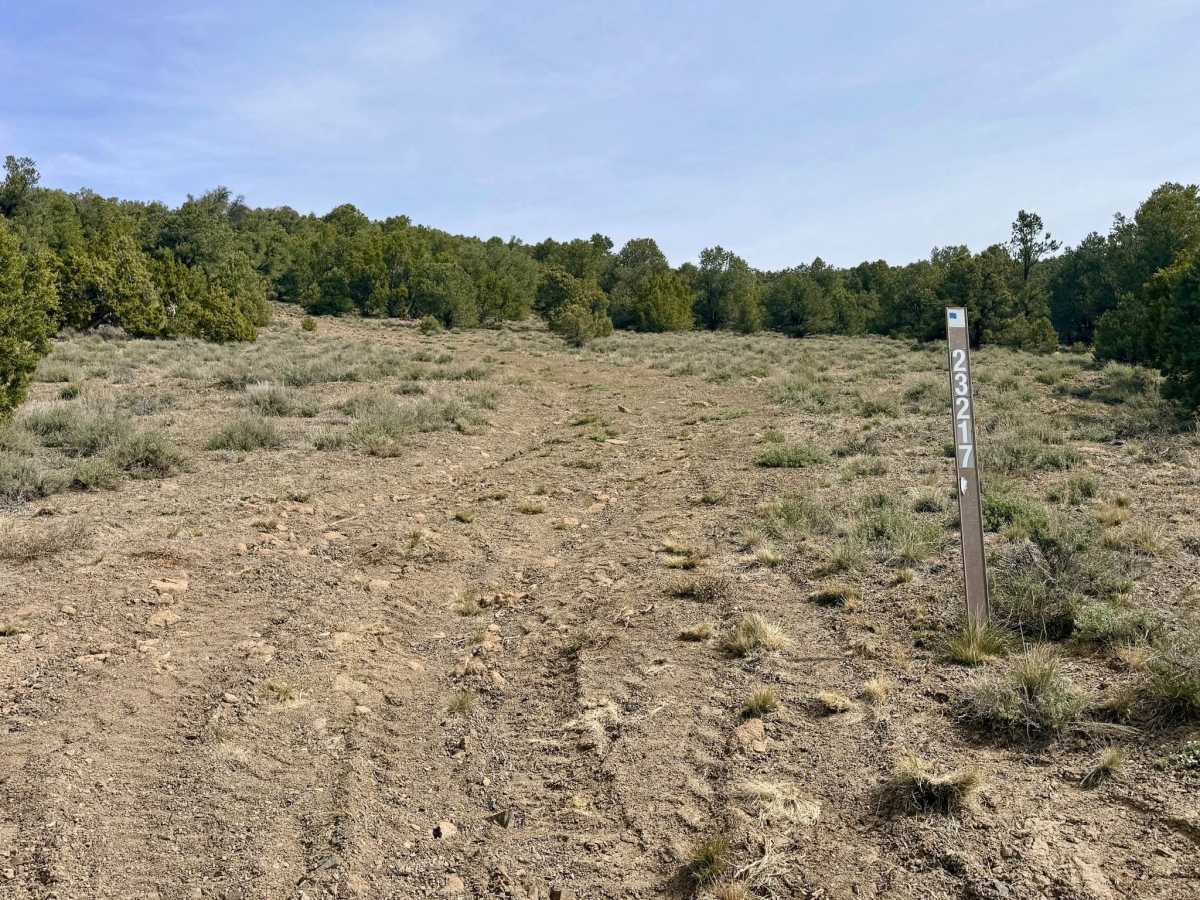
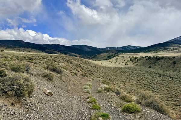
Trail Overview
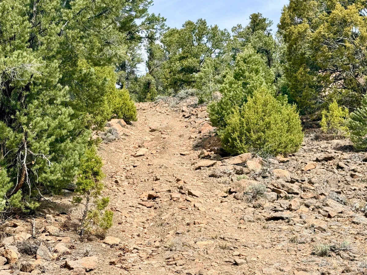
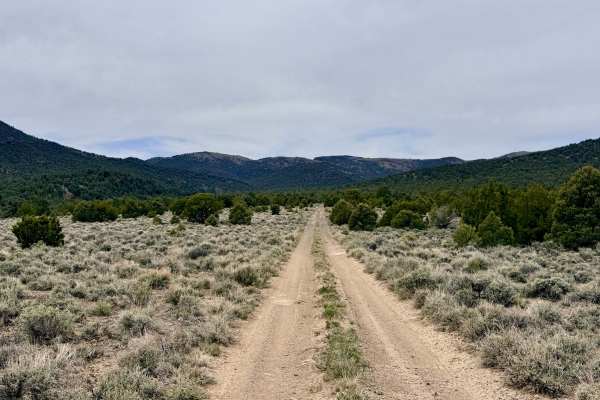
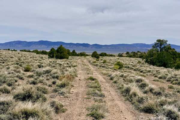
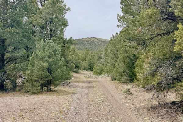
This is an intimate and challenging out-and-back route that acts as a rugged gateway to the high-elevation mesas perched above the historic Toquima Caves. This trail offers a dramatic escape into the wild, unmaintained interior of the range. The journey begins with an immediate test of skill: a daunting, steep ascent over loose volcanic rock and small technical ledges. Once you conquer the initial climb, the trail transitions into a spirited series of twists and turns through a fragrant forest of Pinyon Pine and Utah Juniper. The driving is physically active and tight. The trail has seen no official maintenance in quite some time, allowing the forest to slowly reclaim the path. As you wind your way up to the flatter high-country plateaus, keep your binoculars ready; this secluded area is a favorite sanctuary for bands of wild mustangs and burros that frequent the higher grazing grounds. The motorized trail terminates where the overgrowth becomes too dense for a full-size vehicle to safely continue without significant damage, although the route appears to extend farther into the wilderness for those on foot or in smaller vehicles. For those seeking a true high-desert retreat, a beautifully private dispersed campsite tucked into the trees along the way offers a cool, shaded refuge during the summer months.
Expect zero cell service for the duration of this trail. The high ridges block all signals. Download offline maps before leaving the Highway 376 or Pete's Summit area.
Difficulty
Rated a 4 primarily for the initial steep, loose rocky climb. The combination of loose "scree," small ledges, and sustained off-camber tilts. Severe paint damage (Arizona pinstriping) is guaranteed. This is an exceptionally narrow trail with thick branches encroaching from both sides. Full-size rigs are strongly discouraged. The tight turns and narrow gaps between ancient trees are best suited for short-wheelbase vehicles, ATVs, or dirt bikes.
History
The name "Toquima" is a Shoshone word meaning "black back," referring to the dark, timber-covered peaks of the range. This trail likely has been used for millennia by the ancestors of the Western Shoshone to reach the high-plateau pinyon groves and monitor the movement of game in the valleys below. In the early 20th century, these "elevator" trails were utilized by early forest rangers and ranchers to manage the transition from the valley floor to the protected mountain resources.