Trail Overview
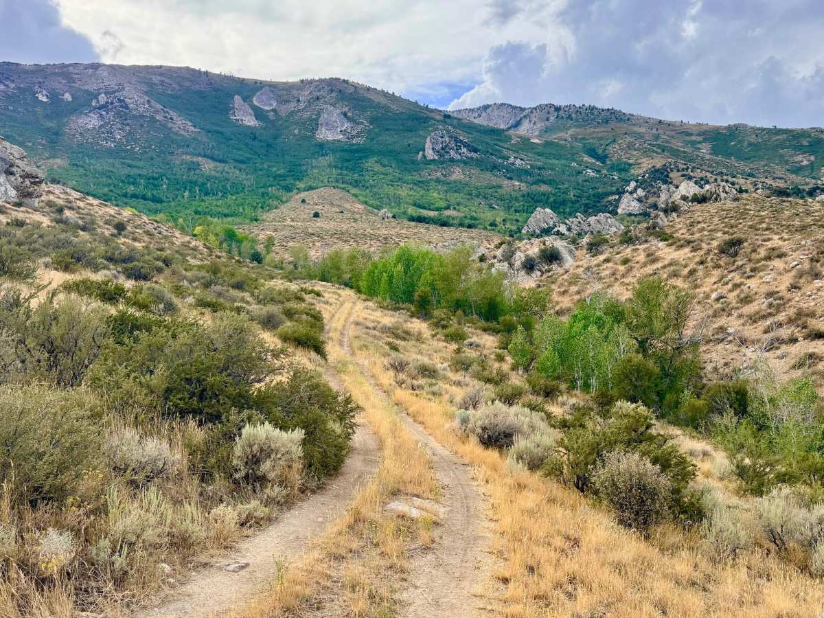
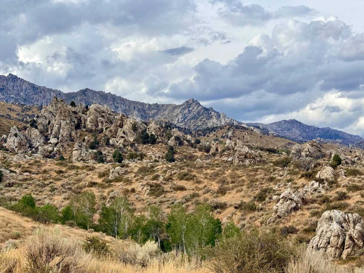
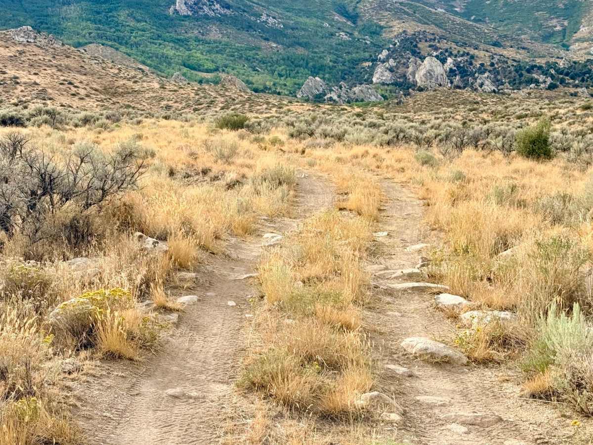
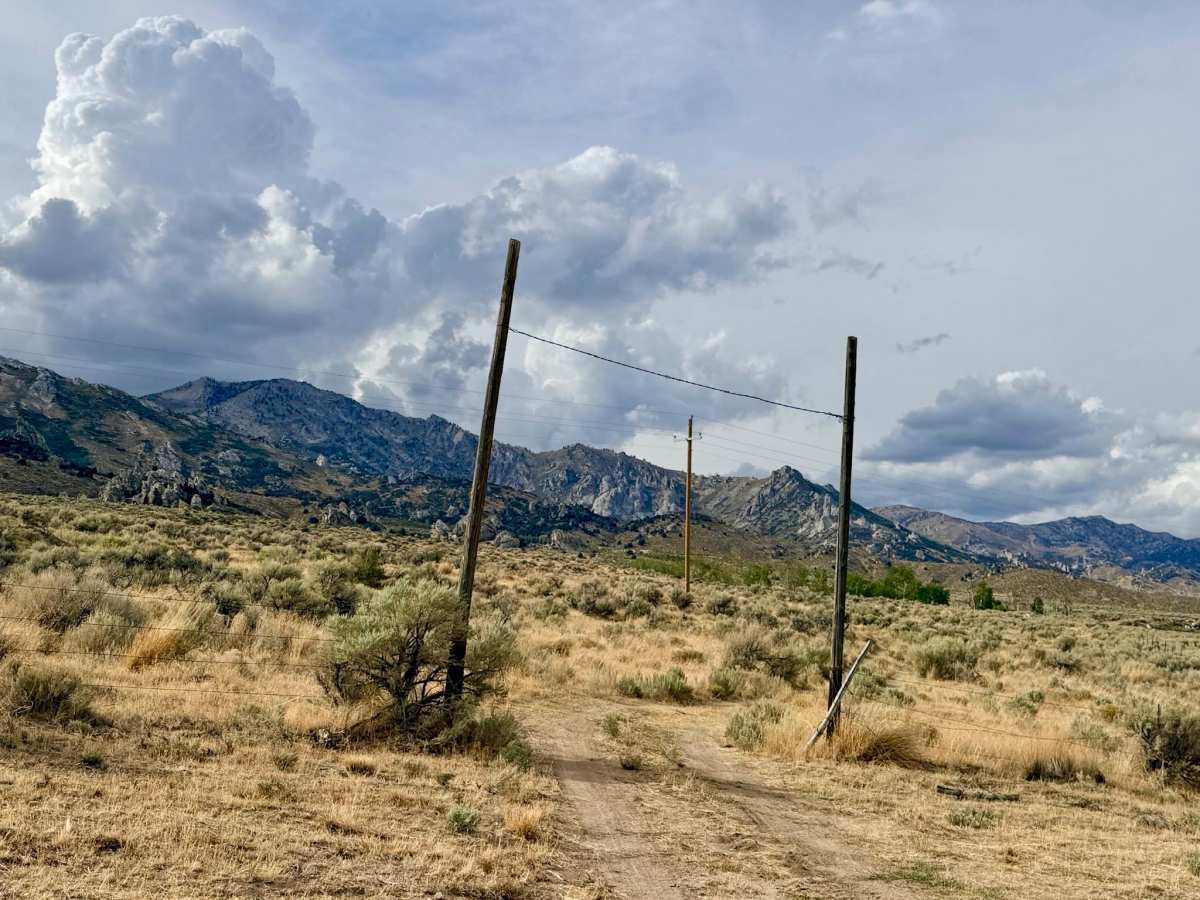
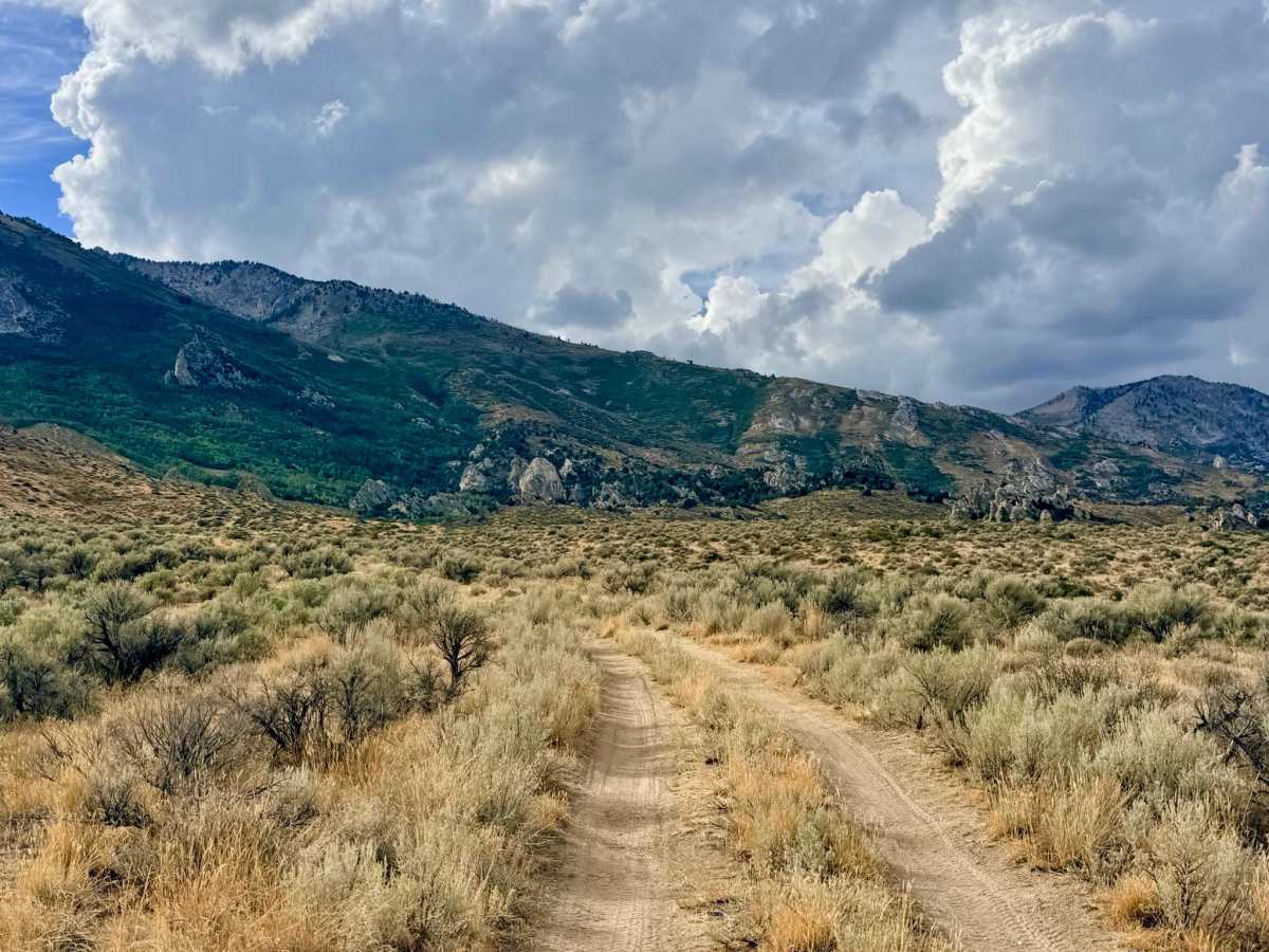
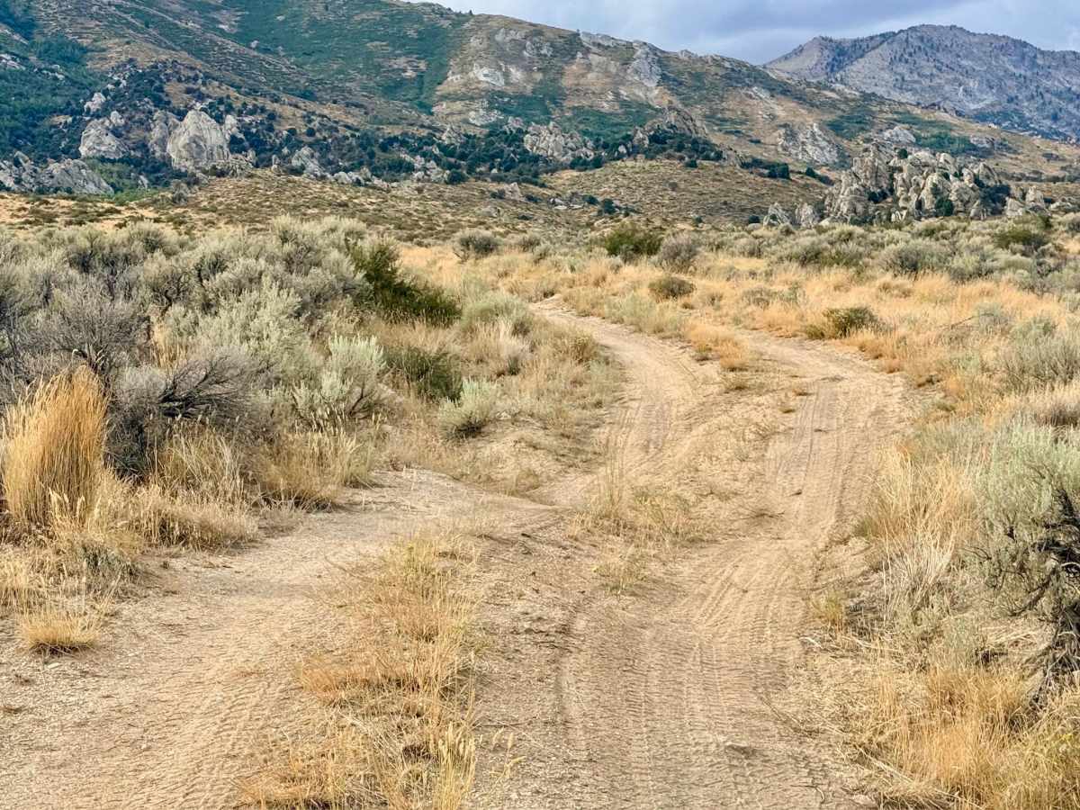
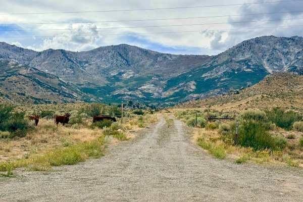
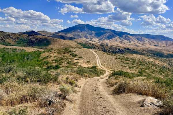
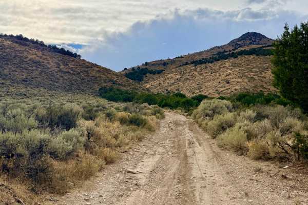
This trail begins just off the main road, initially running along the backside of a private property fence line before turning and ascending into the rugged foothills. As you work your way up the canyon, the lightly traveled route follows the upper side of the creek, bordered by highly scenic, mature Aspen groves. Along the drive, you'll see vibrant patches of wildflowers and unique rock formations. Just past a side trail, you will drop into a mini creek crossing. Climbing the steep embankment out of the creek pushes you through a tight, very overgrown section of trail. Shortly after this obstacle, the drivable route abruptly ends at a massive fallen Aspen tree blocking the path. While the trail technically continues further up the canyon, it will require significant chainsaw work and trail maintenance before vehicles can pass this point.
There is zero cell service available in Tipton Canyon. Downloading offline maps before entering this are is recommended.
Difficulty
While much of this route is a lightly traveled foothill trail with a few deep washouts early on, it earns its 4 rating at a specific mini creek crossing. Exiting this creek bed requires navigating steep, off-camber rock sections that lead directly into a heavily overgrown stretch of the trail, requiring good articulation and careful vehicle placement.
History
Canyons like Tipton, with their reliable water sources and protective topography, were historically vital to early ranchers and pioneers in the East Humboldt Range. These routes acted as natural funnels for moving cattle and sheep into the cooler, high-elevation alpine pastures during the blistering Nevada summers. The striking rock formations found along this trail likely served as key navigational landmarks for both ranchers and early prospectors exploring the mountains.