Trail Overview
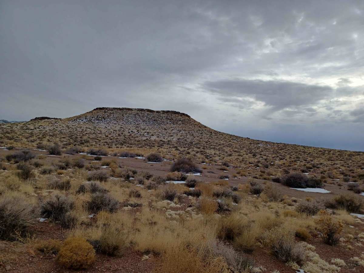
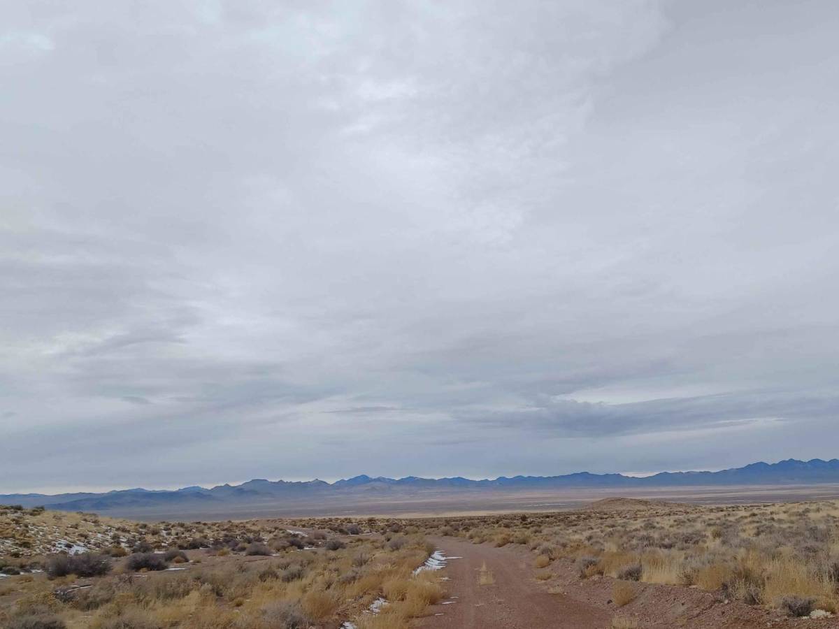
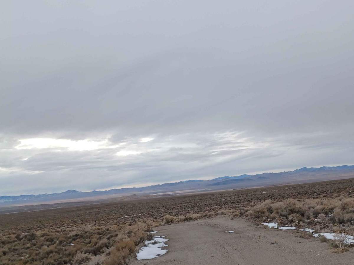
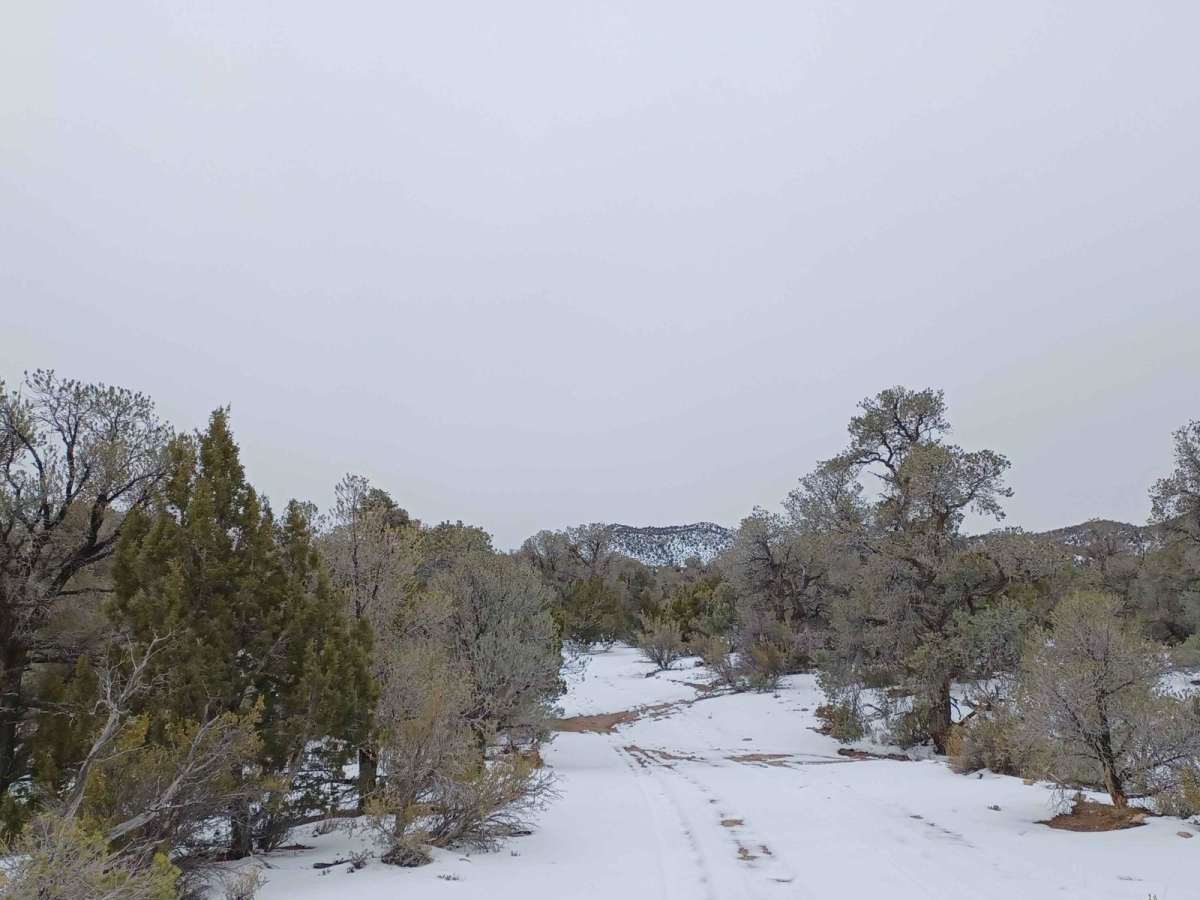
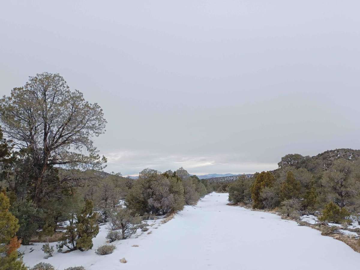
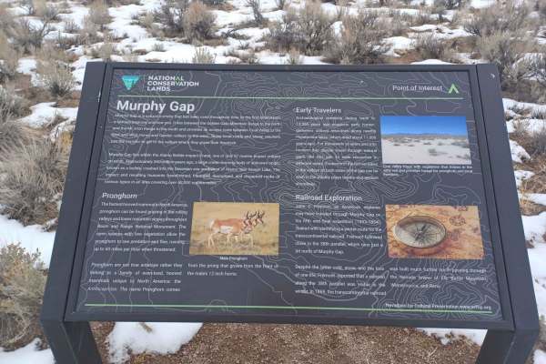
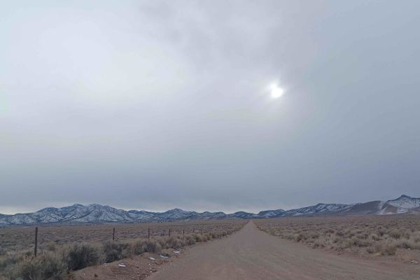
Penoyer Spring Road offers a scenic and straightforward desert traverse ideal for beginner offroaders, overland rigs, and SxSs looking to explore the remote valleys and rugged mountain backdrops of south-central Nevada. Starting near State Route 375, also known as the Extraterrestrial Highway, this 20.9-mile point-to-point route primarily consists of an easy-going gravel surface interspersed with sections of light dirt and soft sand. As the trail heads east across the flat expanse of Penoyer Valley, drivers are treated to wide-open desert vistas before the road begins its gradual climb into the foothills of the Worthington Mountains.
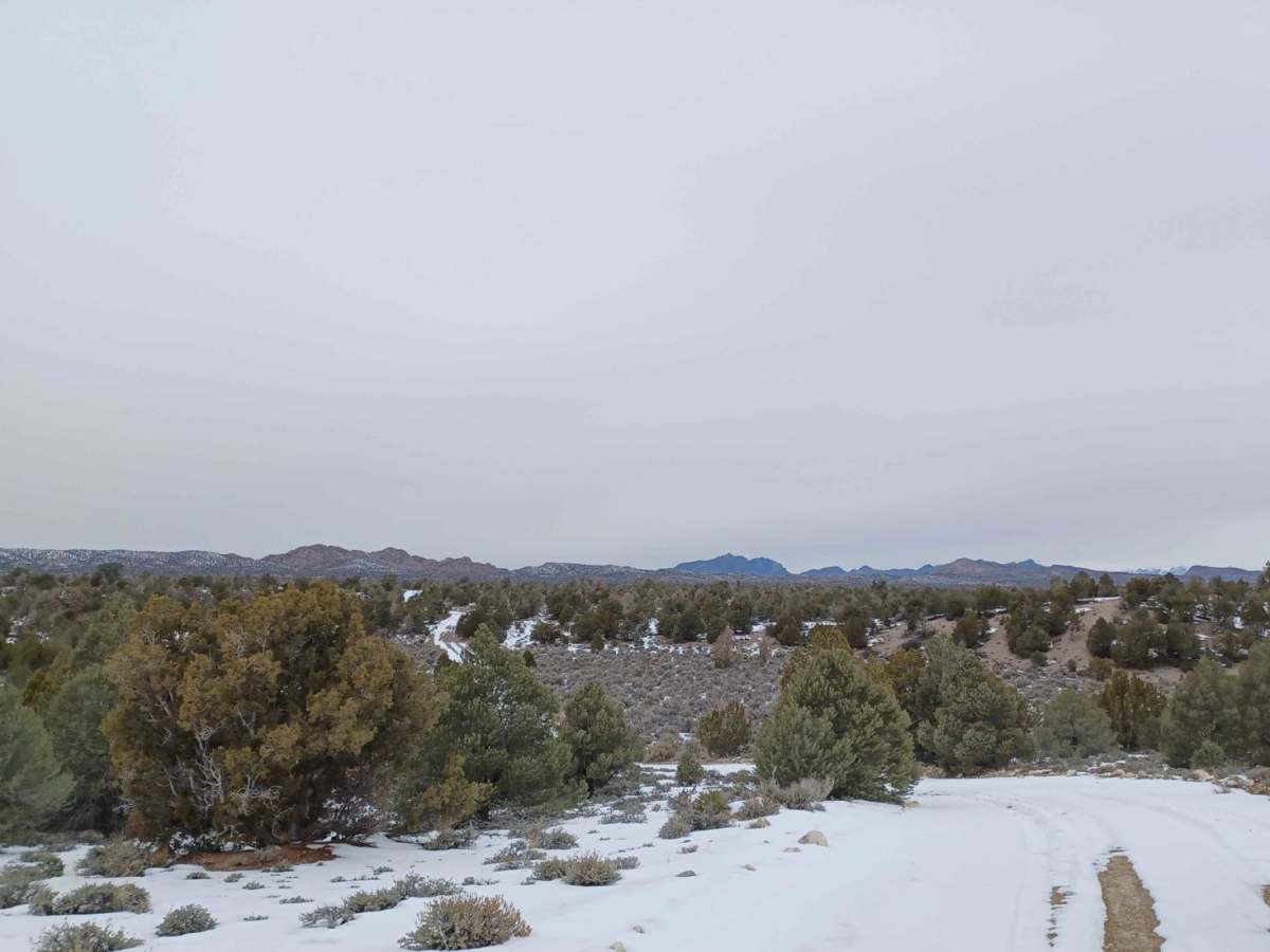
The route features a mild elevation profile, starting around 4,780 feet on the valley floor and reaching a maximum elevation of 6,670 feet near the spring. While most stock high-clearance vehicles and standard four-wheel-drive SUVs can easily navigate the rating 1 terrain under dry conditions, the dirt and sand sections can quickly become slick and muddy when wet, making travel hazardous after heavy rains. Because this remote Bureau of Land Management route lacks cell service and established campsites, travelers should come fully prepared with self-recovery gear, extra water, and offline maps.
Access Description
The route runs through Bureau of Land Management (BLM) public lands. No permits or fees are required to access or drive the road, but standard BLM dispersed recreation and vehicle-use regulations apply.

 Offroad