Trail Overview
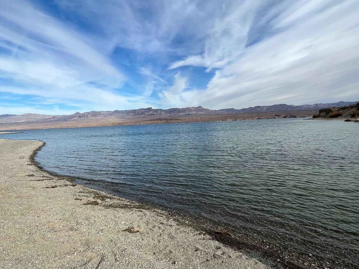
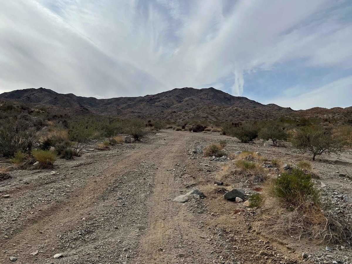
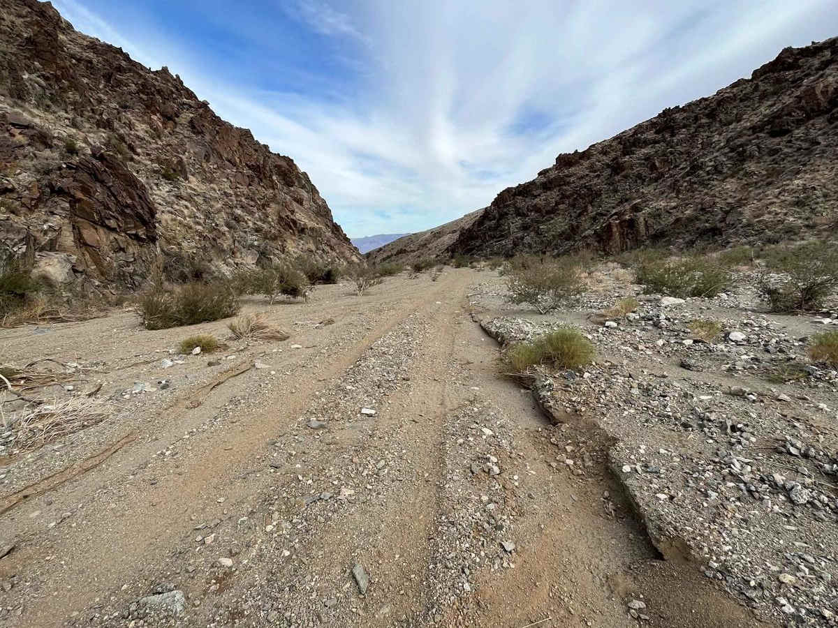
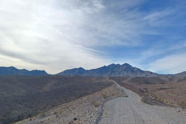
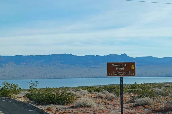
Mead Davis Powerline Road is a scenic 13.5-mile off-road trail ideal for four-wheel-drive vehicles, SxSs, and dirt bikes looking for a direct descent from the desert mountains to the shores of Lake Mohave. Starting near the base of Spirit Mountain at an elevation of 3,860 feet, the route descends over 3,200 feet down to 650 feet, offering stunning desert vistas along the way. The upper portion of the trail consists of a single-vehicle-wide, hard-packed dirt road with rutted areas and uneven grades. As the route continues, the terrain transitions into wide sandy washes that eventually narrow back down to single-vehicle width as they approach the lake near Cottonwood Island.
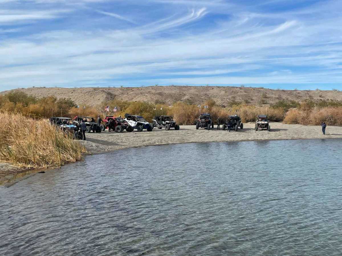
With a technical rating of 3, this route is accessible to most high-clearance vehicles, and lifted two-wheel-drive vehicles can typically complete it after airing down. Drivers must watch for large boulders partially buried within the sandy washes, particularly when driving through dust kicked up by other vehicles. The trail ends directly at the shoreline of Lake Mohave, offering an excellent, quiet spot for lunch or watching the sunset before making the return trip. Accessing the trailhead from the west involves taking Christmas Tree Pass Road for six miles from Nevada State Route 95 to the intersection with the powerline road.
Difficulty
Trail should be easy for any 4x4, SXS, UTV and motorcycle. most lifted 2 wheel drives should make the trail.

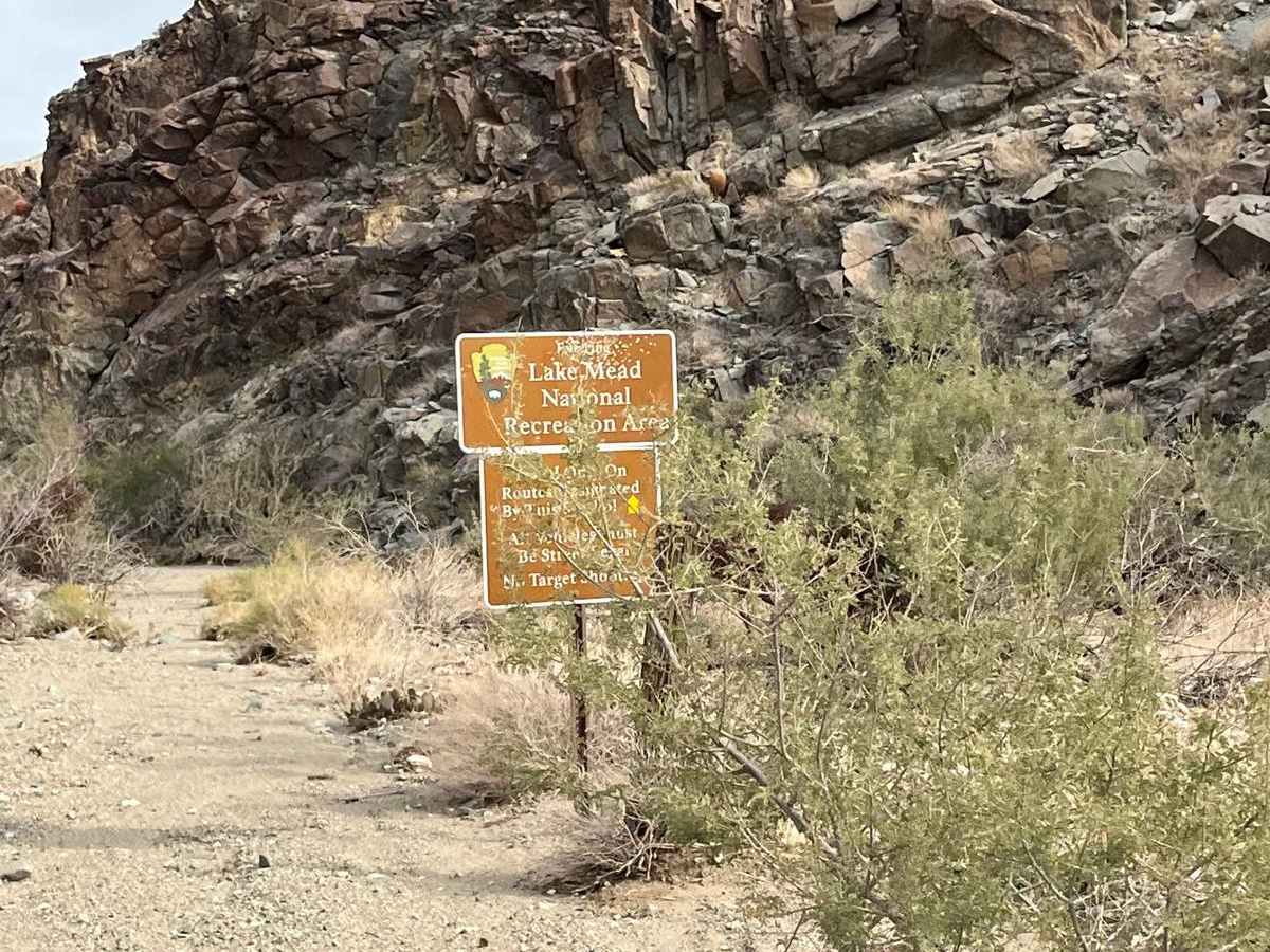
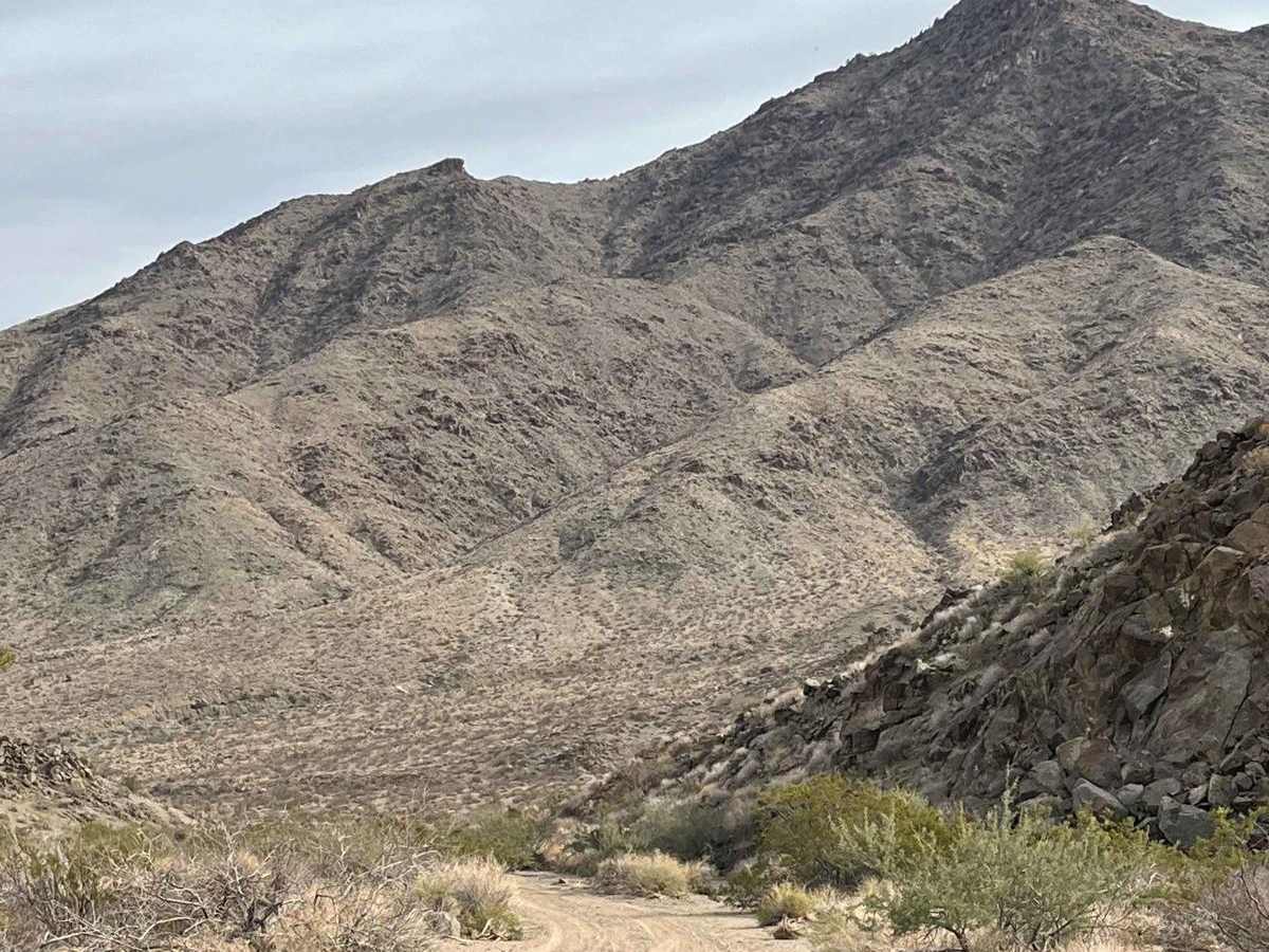
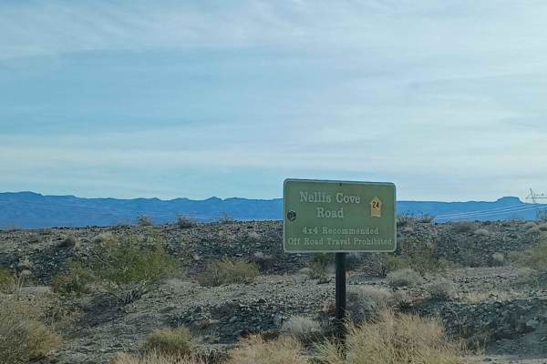
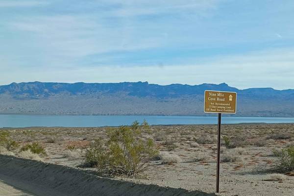
 Offroad