Trail Overview
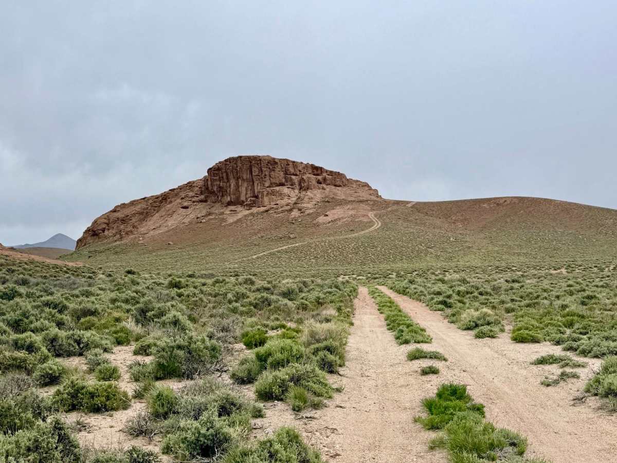
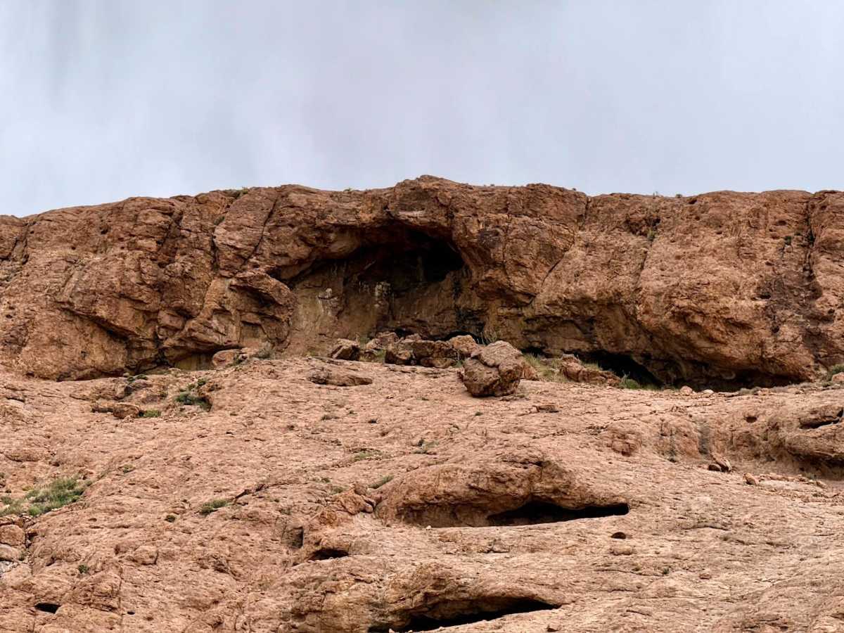
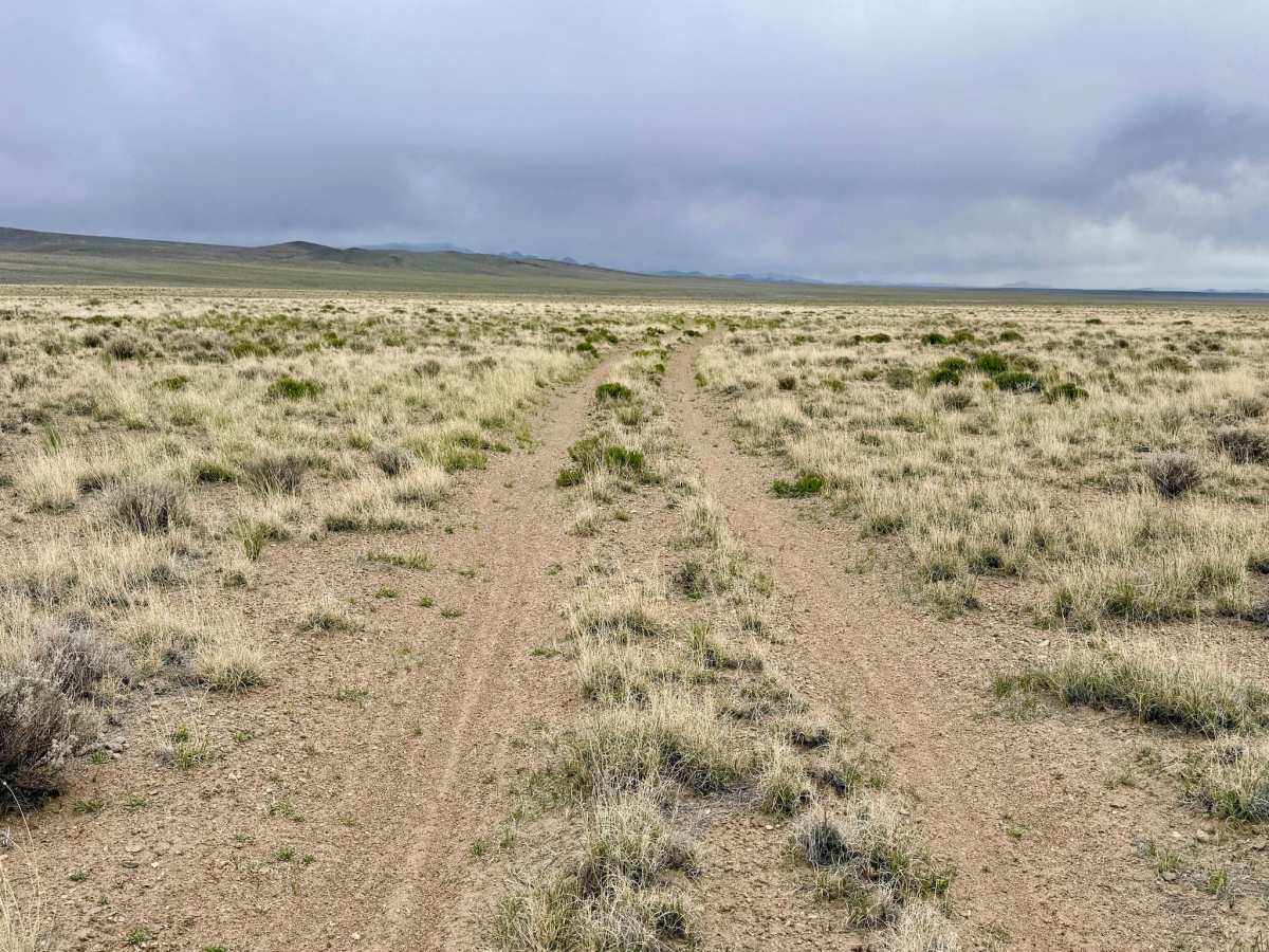
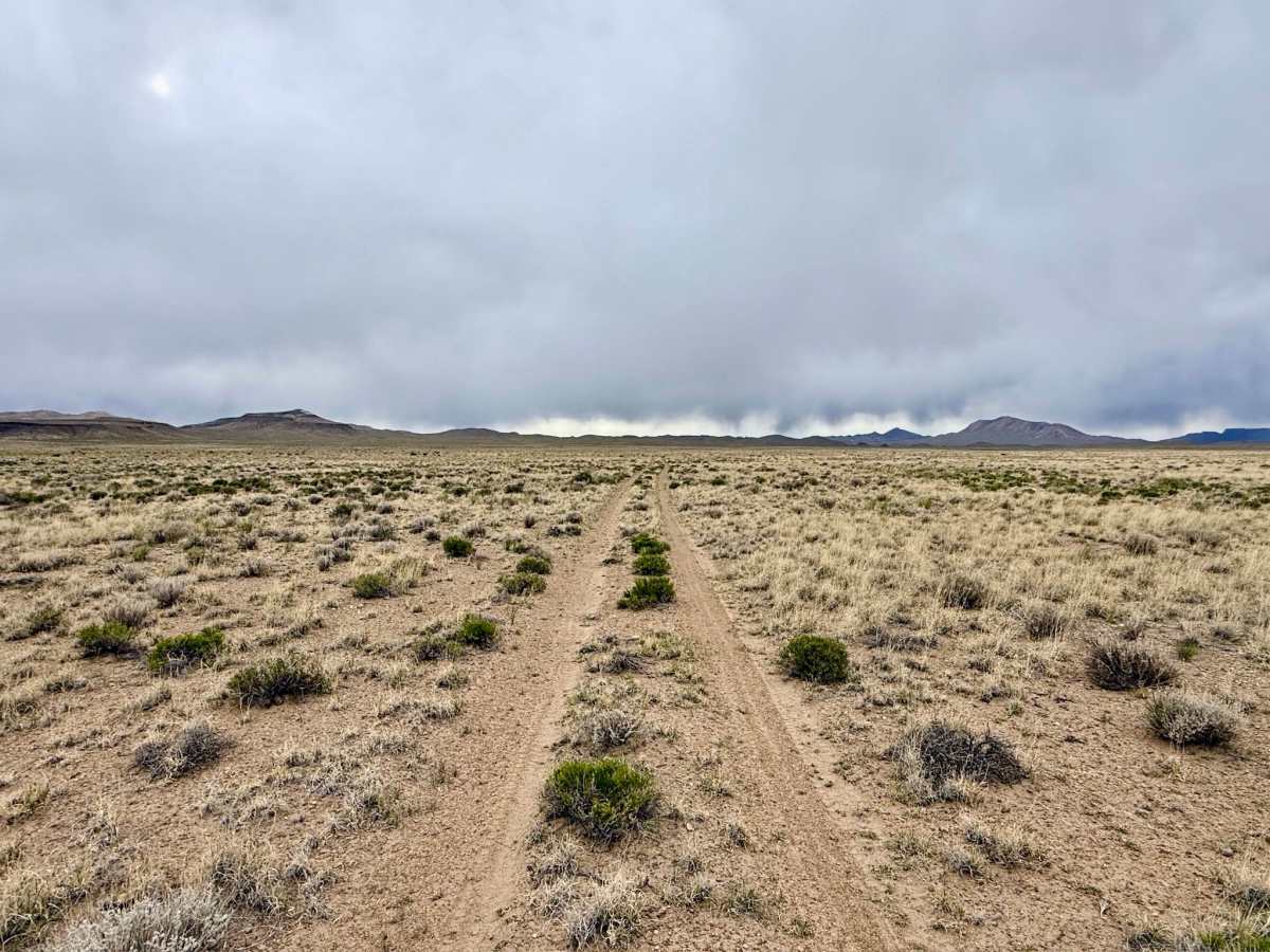
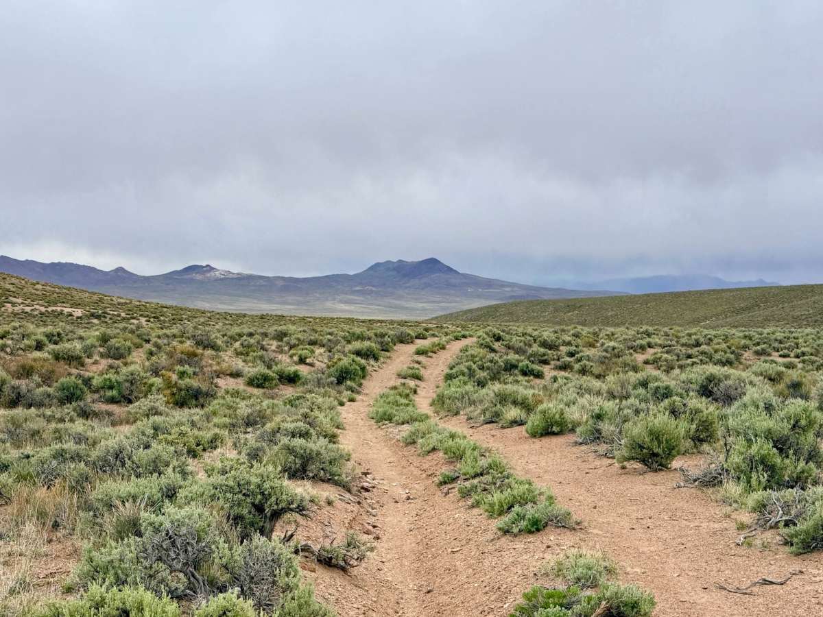
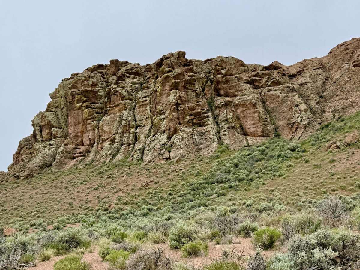
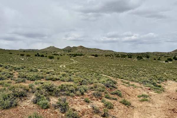
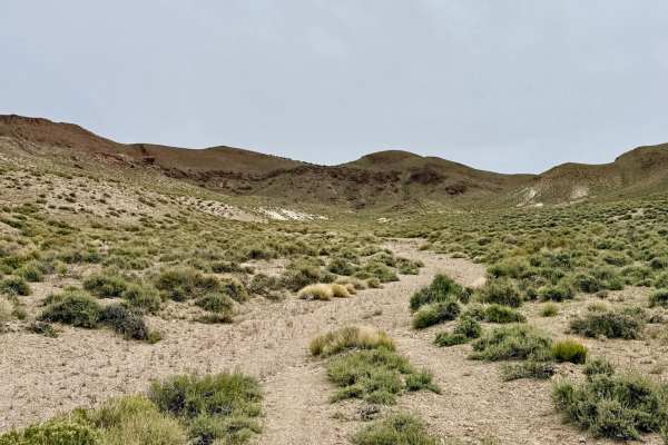
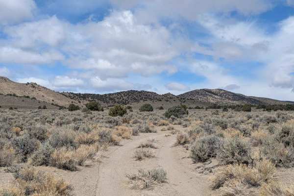
This is a captivating route that offers a diverse "cross-section" of the Nevada high desert. The journey begins abruptly at the McKinney Tanks Summit off Highway 6, immediately greeting travelers with a charming, unexpected oasis: a large, established campsite on the left, featuring a majestic tree and a vintage tire swing. Just beyond this camp lie the skeletal stone walls of an old residence, a poignant reminder of the hardy souls who once homesteaded this arid region. As you move past the ruins, the trail enters its most visually stunning phase. The surrounding cliffs are honeycombed with natural caves and intricate rock recesses that vary in size and shape as you wind through the hills. These geological features are the true highlight of the trail, providing a dramatic backdrop to the technical driving. These first few miles traverse in and out of multiple washes with seep transitions and off-camber sections. Eventually, the rugged hills give way to the vastness of the high-desert plains. The track smooths out into a soft, flowing run across an enormous basin filled with aromatic sagebrush. Offering a profound sense of Great Basin solitude and the high probability of spotting Pronghorn Antelope racing across the flats. There is no cell service on this trail. The high ridges of the summit and the deep basins create a total signal dead zone. Download offline maps before leaving Tonopah.
Difficulty
Rated a 3 primarily for the first few miles. This section features several steep and off-camber transitions as the trail drops into and climbs out of small, eroded washes. Once on the plains, the trail becomes significantly easier.
History
The name "McKinney Tanks" refers to natural rock basins, or "tanks," in the nearby volcanic rock that collect and hold precious rainwater. These tanks were vital lifelines for the Western Shoshone for millennia and later became essential water stops for the stagecoaches and freight teams moving between Tonopah and Ely.