Trail Overview
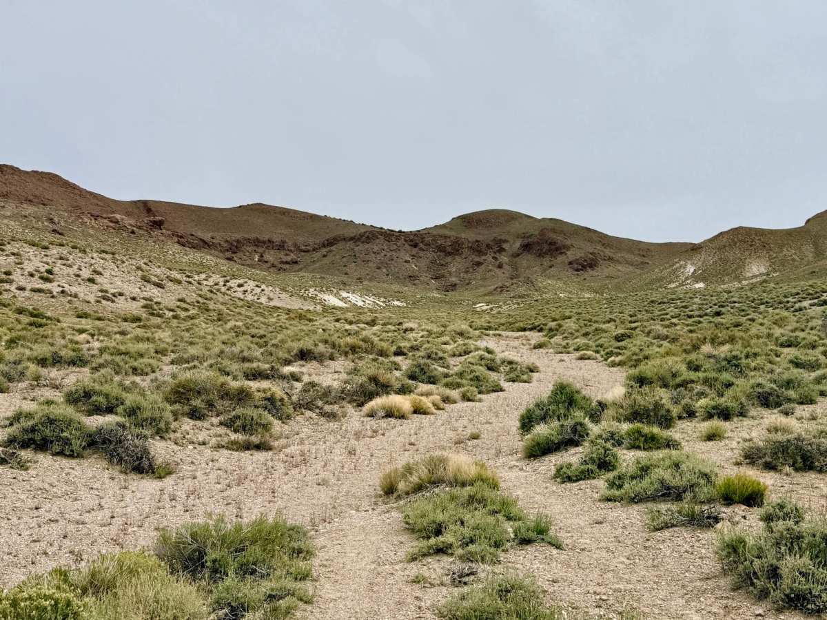
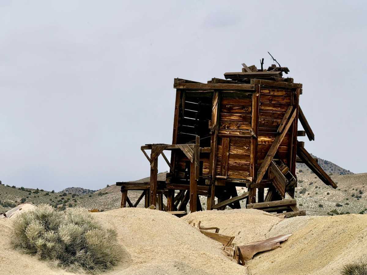
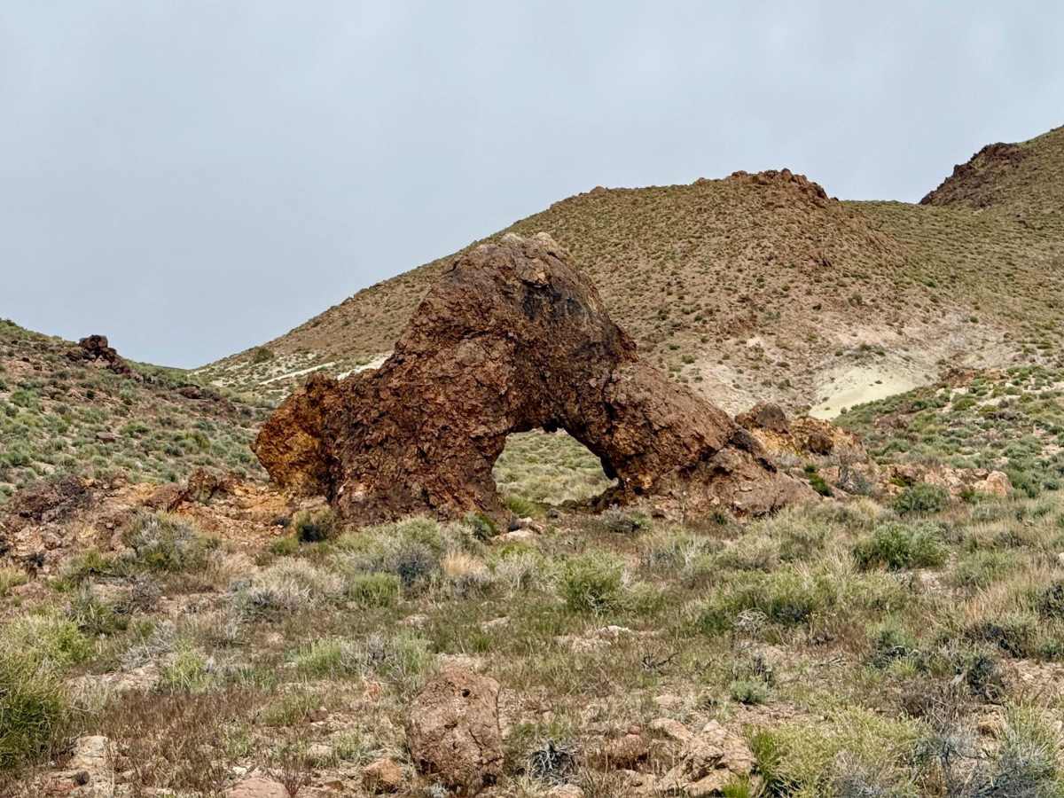
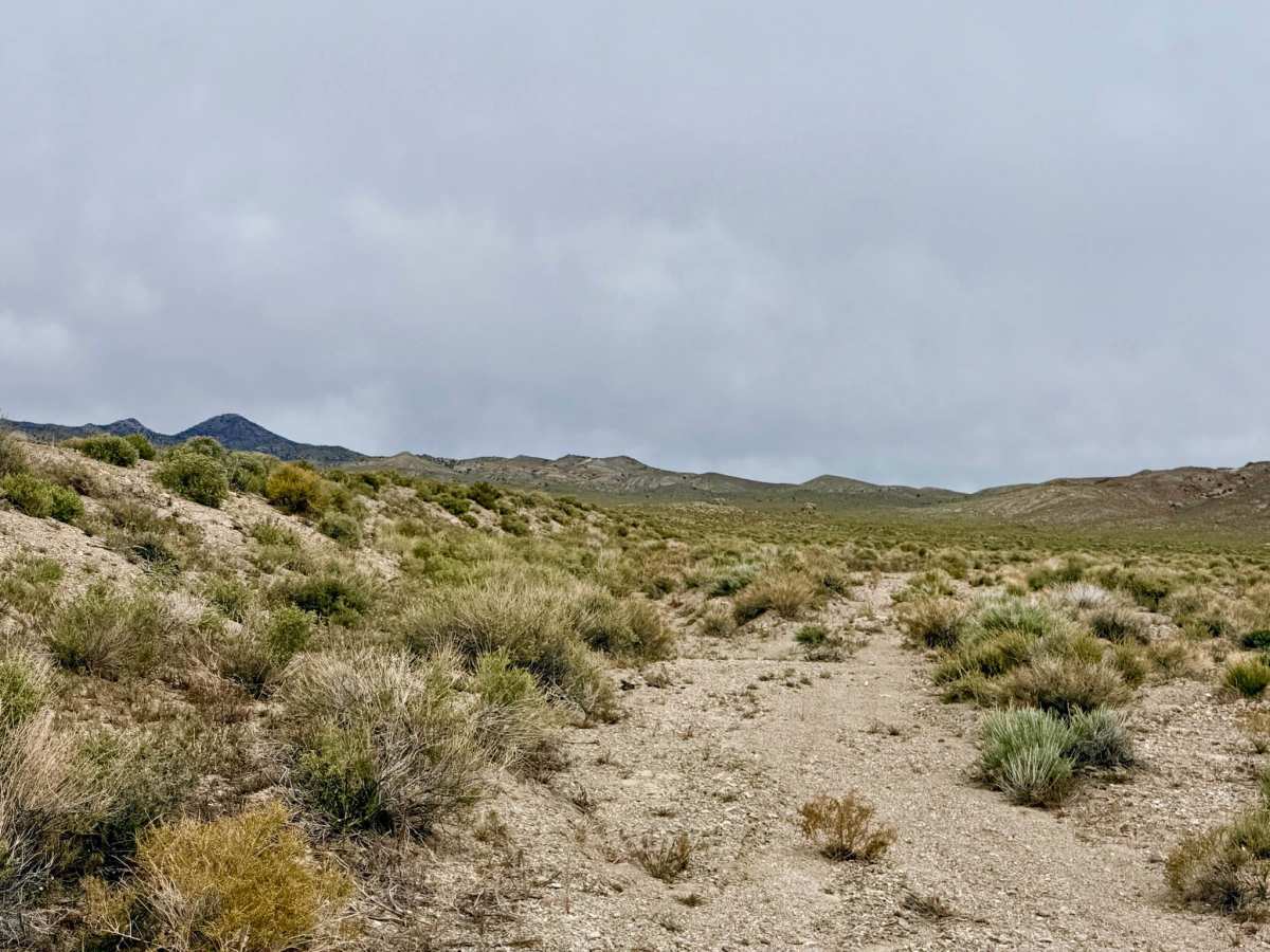
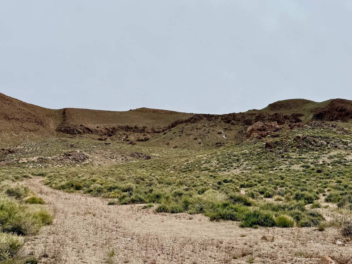
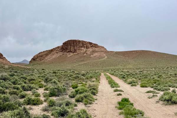
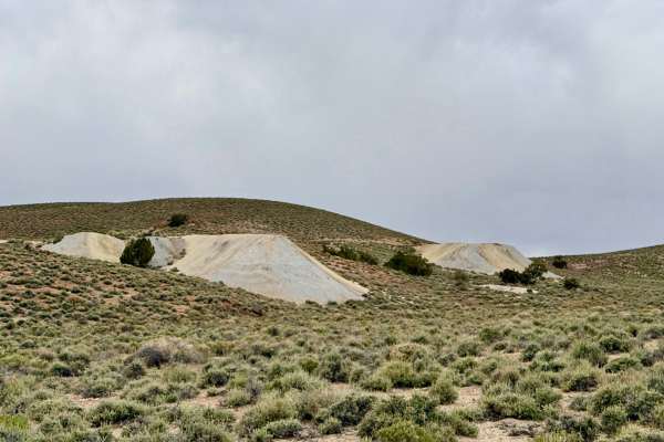
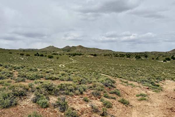
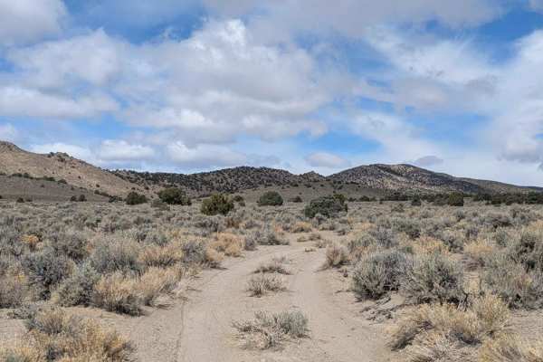
This trail is a fascinating trip through time, tracing the historical diagonal route between the Hannapah mining district and the legendary town of Tonopah. This lightly used two-track offers a quintessential Nevada "backcountry" feel as it winds through rugged canyon corridors and descends into the wide-open basins below. The trail spends a significant portion of its length traveling within the natural wash system. As you navigate the canyon, the geology takes center stage. Keep a sharp eye on the hillside rock faces above you. The area is dotted with multiple natural caves and small arches carved into the volcanic stone. The landscape is further textured by numerous "prospect pits", small piles of earth left behind by early explorers who hand-dug exploratory holes in search of the next big strike. The trail eventually culminates at the junction with Parrote Springs Road, where you’ll find the primary Hannapah mining area. Here, several weathered mining structures still stand amidst a vast field of tailings piles, rusted equipment, and historical debris.
The Hannapah area is a massive outdoor museum. While it is tempting to explore the old trash and debris, please leave all artifacts where they lie to preserve the history for others. Expect no cell service along this route. The canyon walls and remote location east of Tonopah create a total signal shadow. Download offline maps before leaving town.
History
The Hannapah district was established around 1902, shortly after the massive silver discovery in Tonopah. While it never reached the legendary status of its neighbor to the west, it was a significant producer of silver and gold for several decades. The Hannapah Cutoff was the primary "shortcut" for miners and teamsters moving between the two camps. The structures you see at the top of the trail are remnants of a community that braved the isolation of these volcanic hills in hopes of striking it rich during Nevada's early 20th-century mining renaissance.