Trail Overview
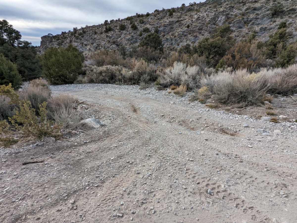
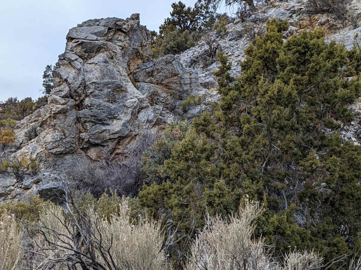
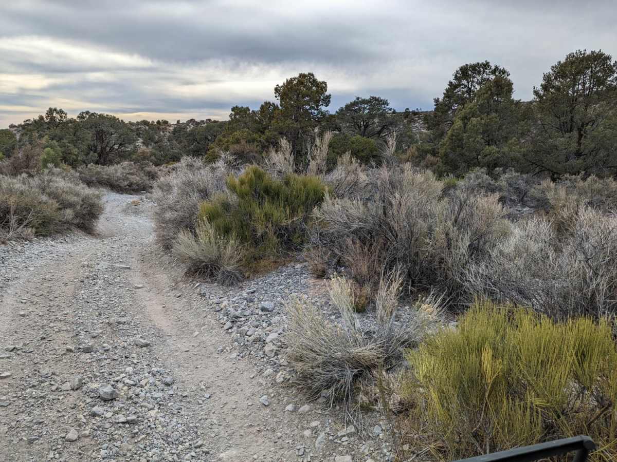
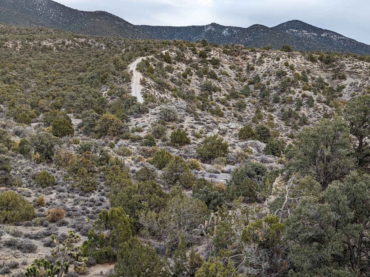
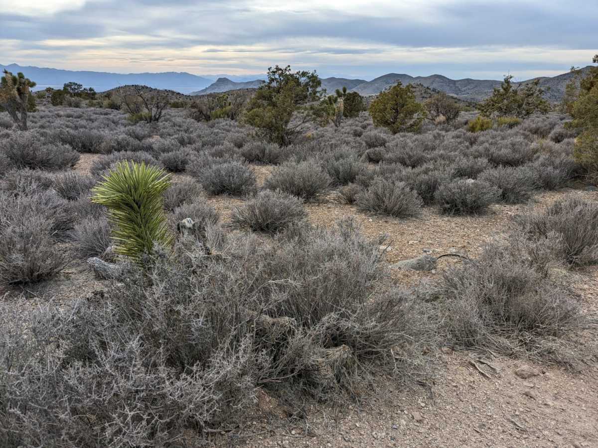
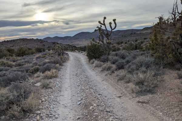
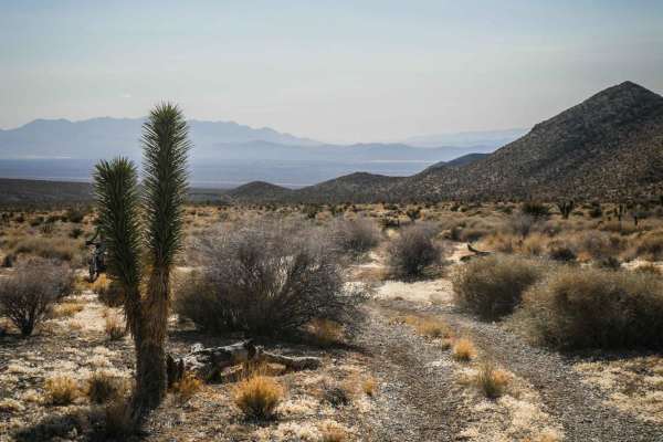
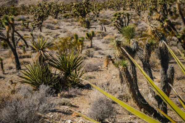
Loop Boundary Road is a scenic 3.2-mile trail in the Spring Mountains near Las Vegas, perfect for stock four-wheel-drive vehicles and SxSs looking for a quick, rewarding escape with stunning panoramic vistas. Starting at an elevation of roughly 5,575 feet, the trail begins as a mostly level single-track route with dirt and loose rock surfaces. As you navigate the path, you will climb to a peak elevation of 6,180 feet, passing through an incredibly unique transition of ecosystems featuring desert Joshua trees, pinyon pines, and majestic ponderosa pines. Along the way, striking rock formations frame the trail, culminating in an expansive, magnificent overlook of the Pahrump Valley stretching out below.
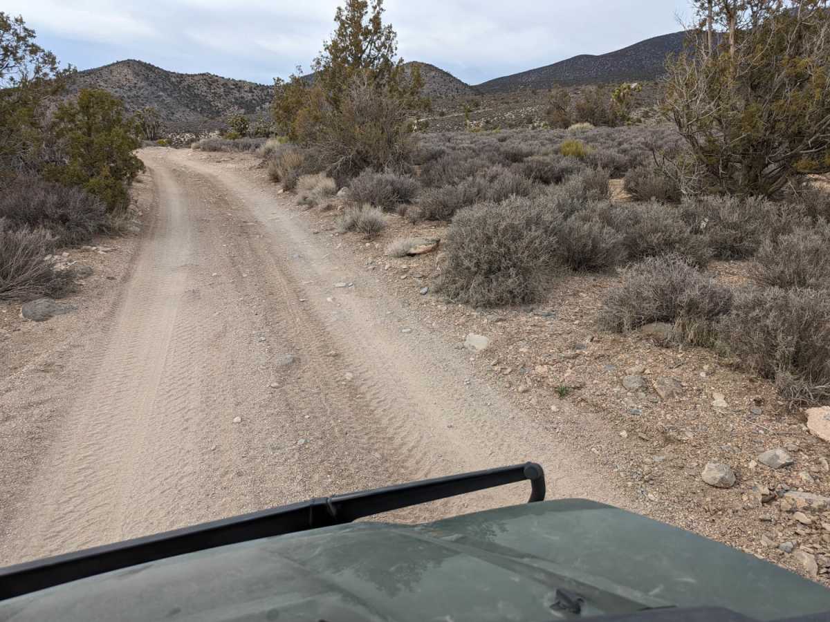
Rating a 4 out of 10 on the technical scale, this trail demands high clearance as the terrain shifts from smooth tracks to more uneven, rutted sections with a few steep grades. Stock four-wheel-drive SUVs, light trucks, and SxSs will find the obstacles manageable but engaging, though caution is advised on the steeper descents and off-camber ruts. Given the high elevation, the trail is best run from late spring through fall to avoid heavy snow and muddy conditions. Always check local trail conditions before heading out, and prepare for a classic Nevada mountain-to-desert transition that highlights the rugged beauty of the region.
Access Description
High clearance and four-wheel-drive capability are required due to rutted, uneven sections and steep grades along the trail. To avoid heavy snow and muddy conditions at high elevations, it is recommended to travel this route from late spring through fall.