Trail Overview
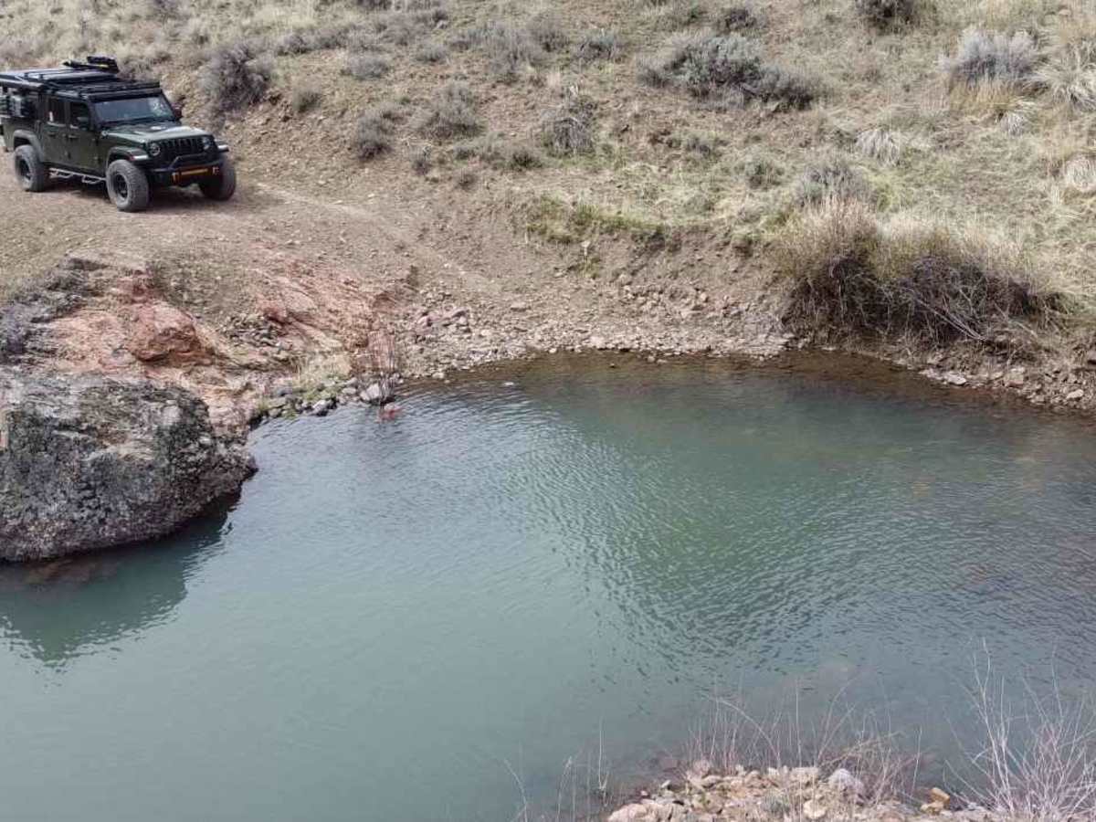
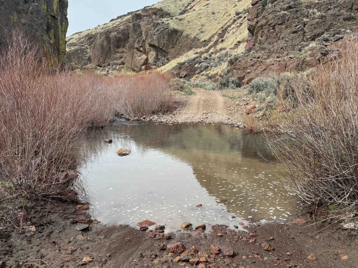
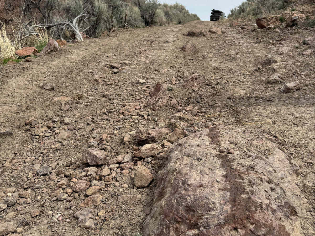
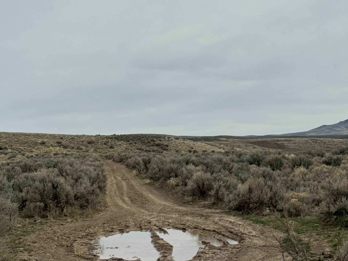
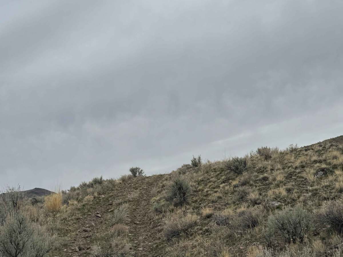
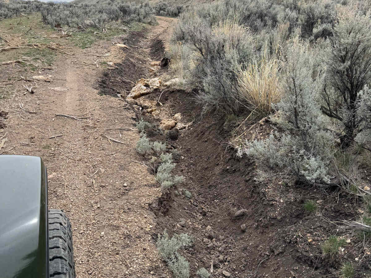
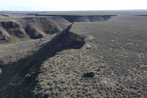
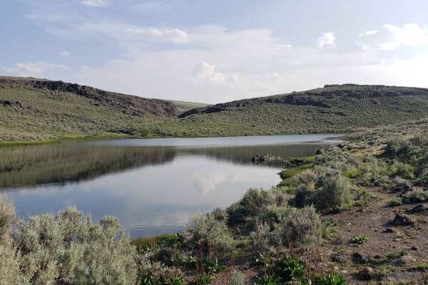
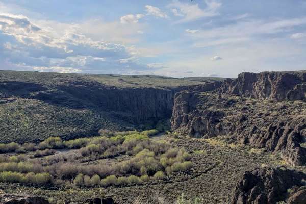
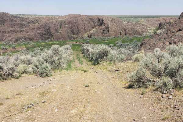
To access this trail, you must drive through the Fort McDermitt Indian Reservation to the start of Humboldt National Forest. The route is a dirt trail that gets rougher as you go. Near the beginning, on the McDermit side, there is a canyon called Devil's Gate, which has five water crossings. The first is the deepest, and if you do not choose the far left line, you will be in water over 4 feet deep. The far left line puts the passenger side about a foot and a half in water. The rest of the crossings are around a foot to a foot and a half. After the water crossings, the trail is a fairly straightforward, easy route, but there are rocks making it rough, and the trail becomes very narrow. You can expect to pick up some pin stripes from the overgrown sagebrush. The trail goes through the canyon and ends in a nice grassy camp spot near the spring that has some running water. High clearance 4x4 is required due to the water crossings. There are no amenities around, and the cellphone service is poor. It is highly recommended to download the offline maps.
Difficulty
Rough, rocky, narrow trail with five different water crossings. Choose your line properly, or you will be in water 4 feet deep or more.