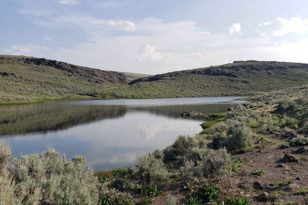
Trail Overview
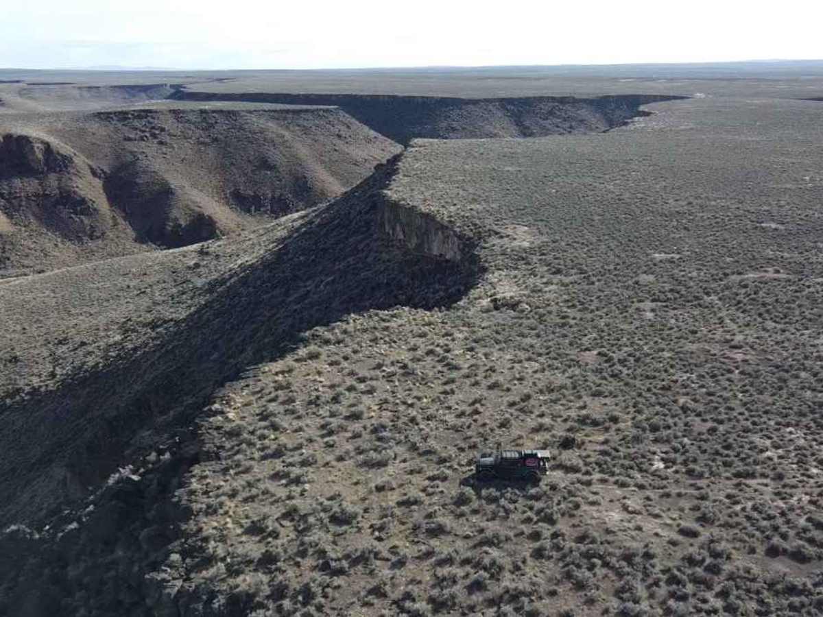
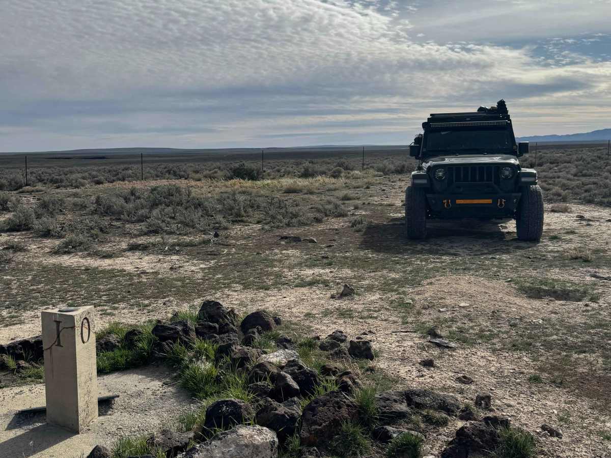
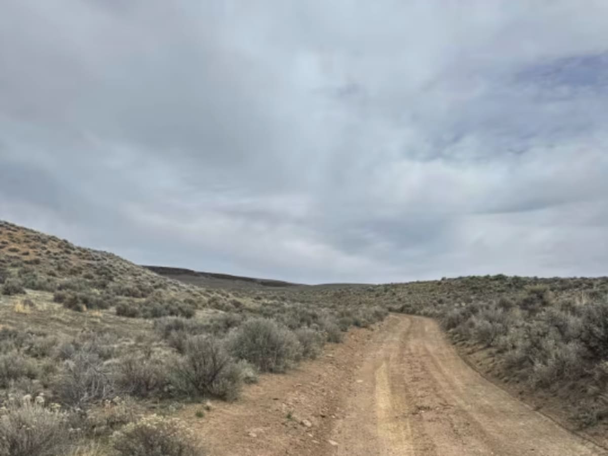
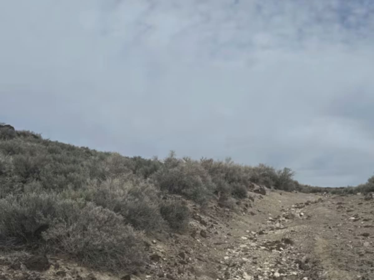
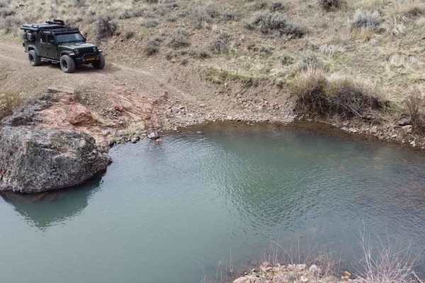
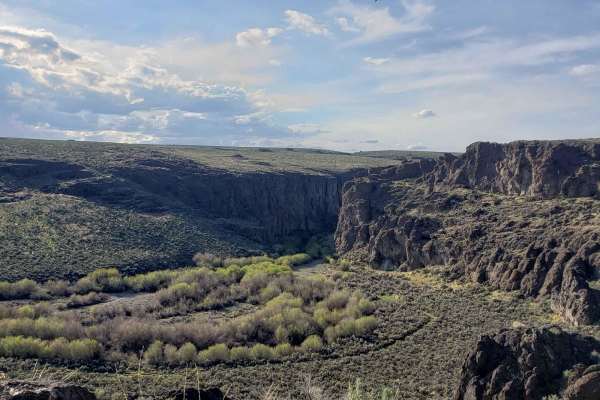
This trail runs from Long Canyon in the Humboldt National Forest to the monument at the tri-state line of Oregon, Idaho, and Nevada, then continues to an overlook of the Owyhee River canyon. The trail starts as an easy dirt/gravel road with a few ruts and wash areas, and gets rocky and bumpy near the monument. From the monument to the canyon, the trail is extremely overgrown with sagebrush, and is a bumpy, rock garden the entire 2 to 3 miles to the overlook. As you approach, use caution, or you will drive right off the cliff, as it gives no warning that you are approaching it. There is room at the end to camp overlooking the canyon. There are no amenities, no cellphone service, and you are extremely remote here. The closest services are approximately 3 hours and over 100 miles away. Any vehicle should be able to navigate this trail; terrain tires and airing down are highly recommended.
History
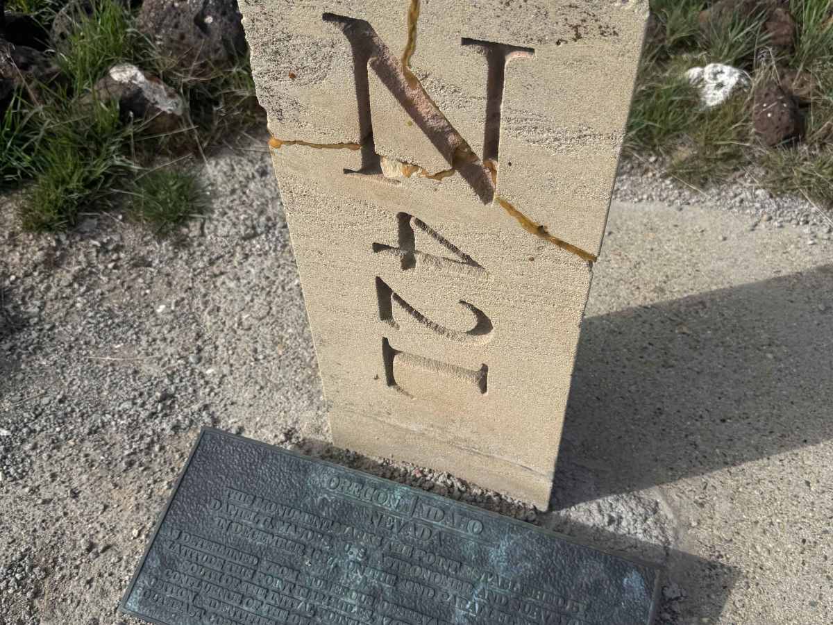
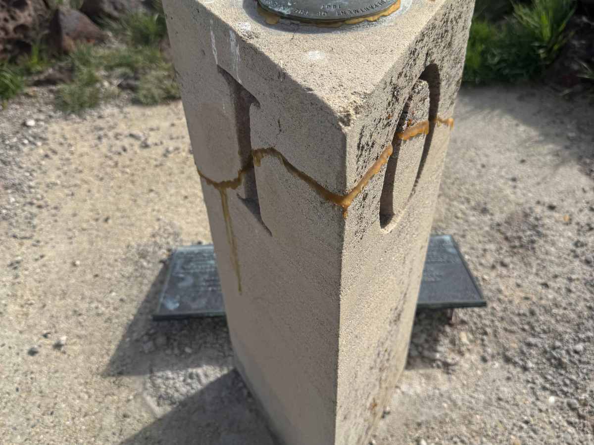
There is a geological marker and monument placed on the state line of Idaho, Oregon, and Nevada. This point was established by Daniel Majors (US Astronomer) in December 1867 on the 42nd parallel north. This point is 124 miles, 17 chains, and 2 links distance south from the initial point of the confluence of the Owyhee and Snake Rivers. It marks the southwest point of Oregon, the southeast point of Idaho, and the north boundary of Nevada.