Trail Overview
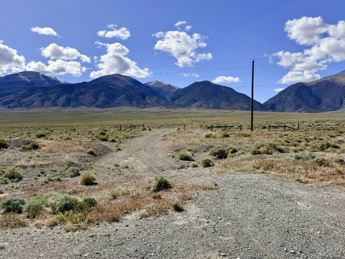
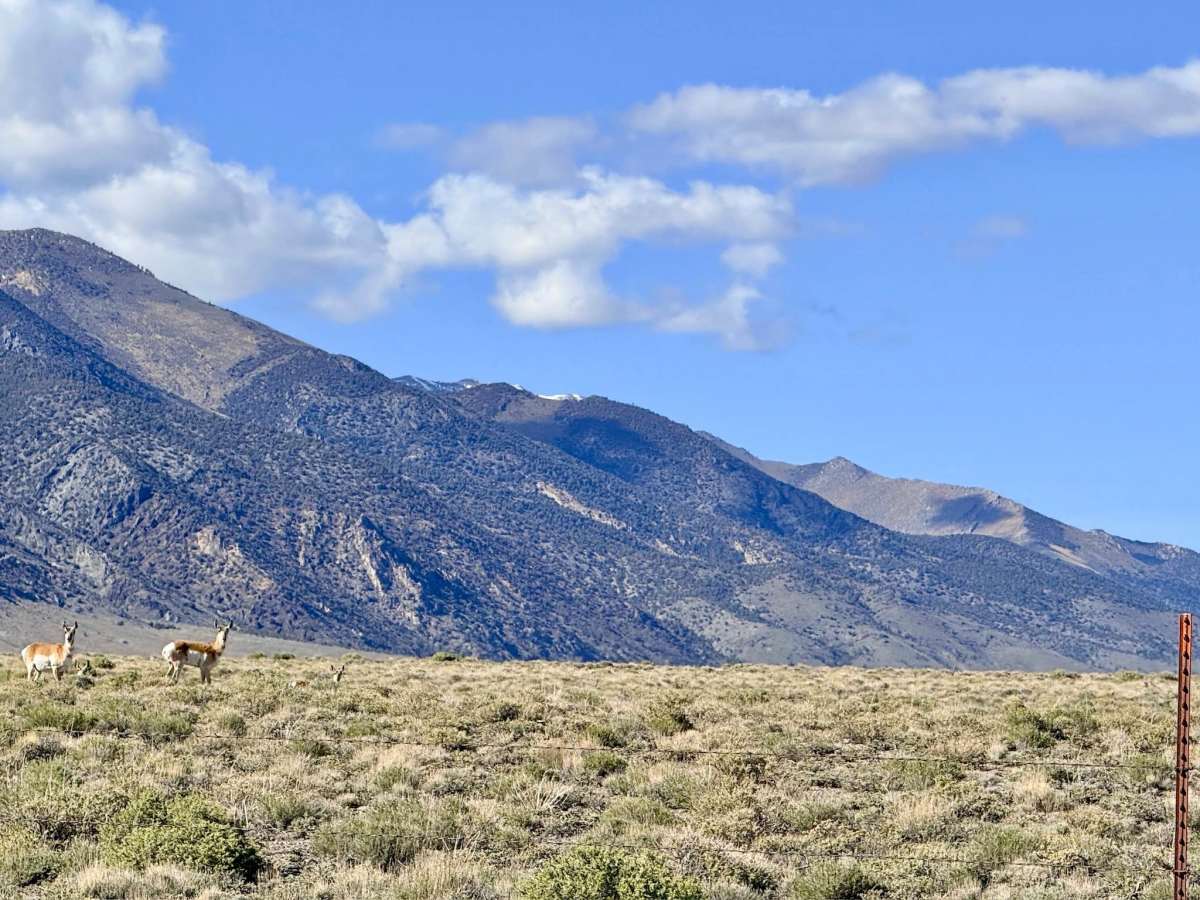
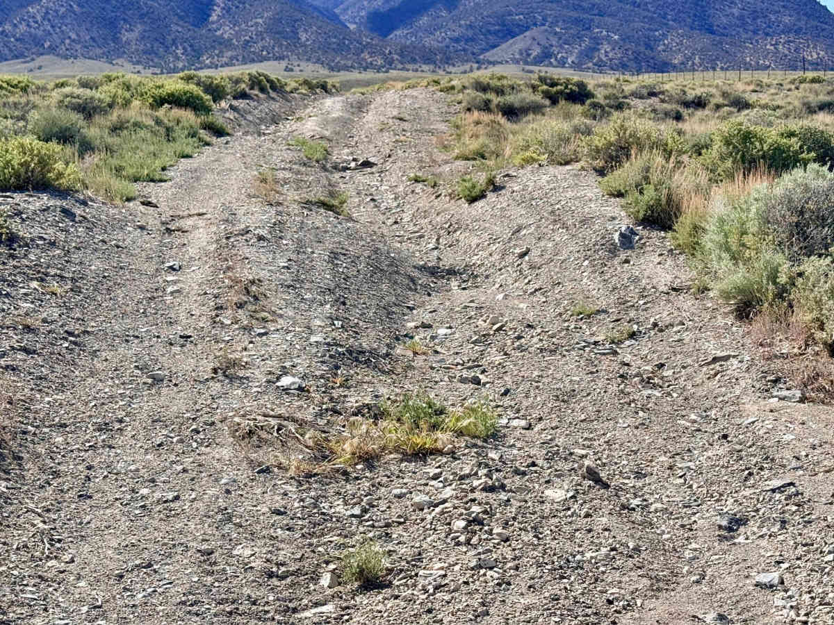
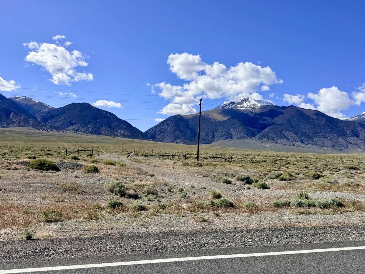
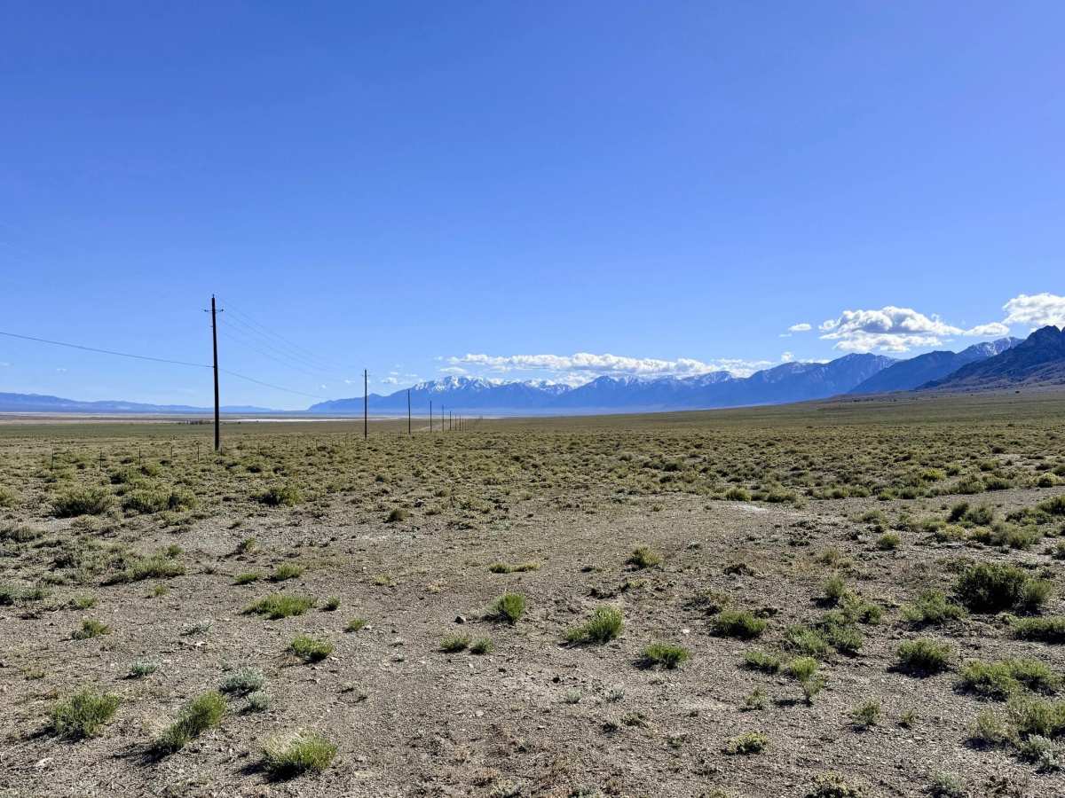
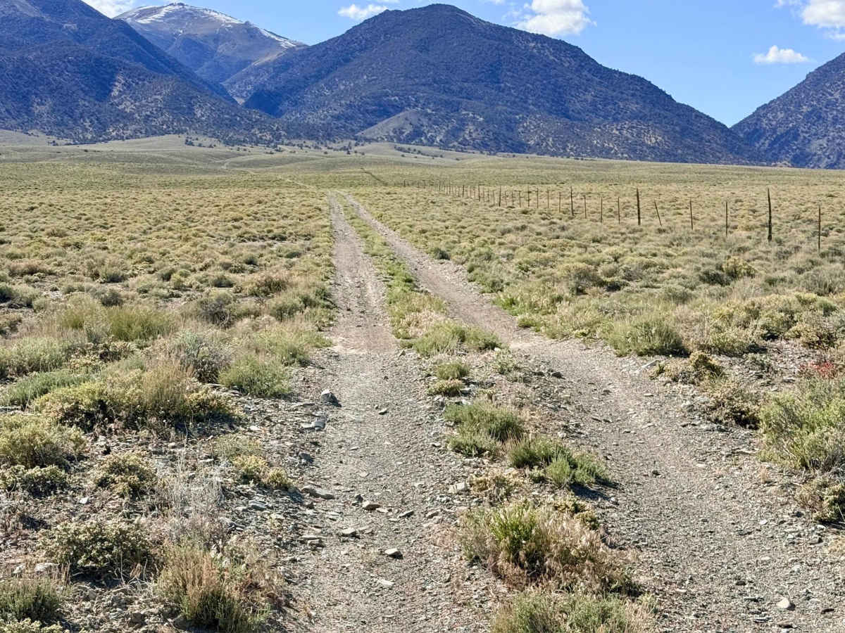
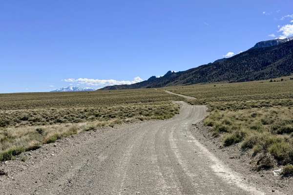
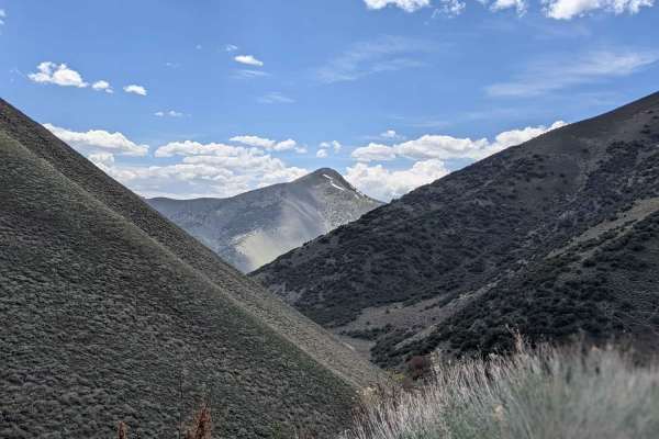
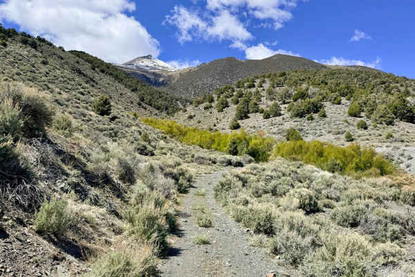
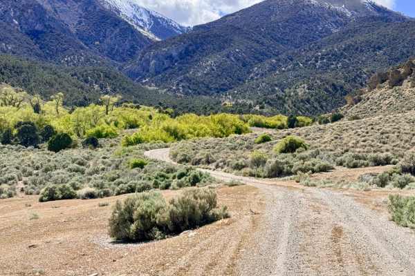
This trail is an engaging mountain ascent that climbs directly from the valley floor along Highway 376 into the undulating hills of the Toiyabe Range. This trail offers a spirited driving experience, characterized by a series of "big dips" and several deep, dry wash crossings that will keep you focused on your approach angles. As the route gains elevation, you’ll navigate through loose, rocky sections and established ruts that add a healthy dose of fun to the climb. As you ascend, you will pass a popular local spot on your left featuring picnic tables; this area is a well-known community site for target shooting and clay pigeons, offering excellent "down-range" views. Because of the flat ground and existing amenities, this area and several others farther up the hill make for great dispersed camping with high-vantage views of the Big Smoky Valley. The loop eventually hangs a left, transitioning into a scenic "cut-across" track that carries you higher into the foothills, providing outstanding panoramic vistas of the shimmering valley floor far below.
There is no cell service on this loop. The surrounding hills block signals from the valley corridor. Download offline maps before leaving the Highway 376 area.