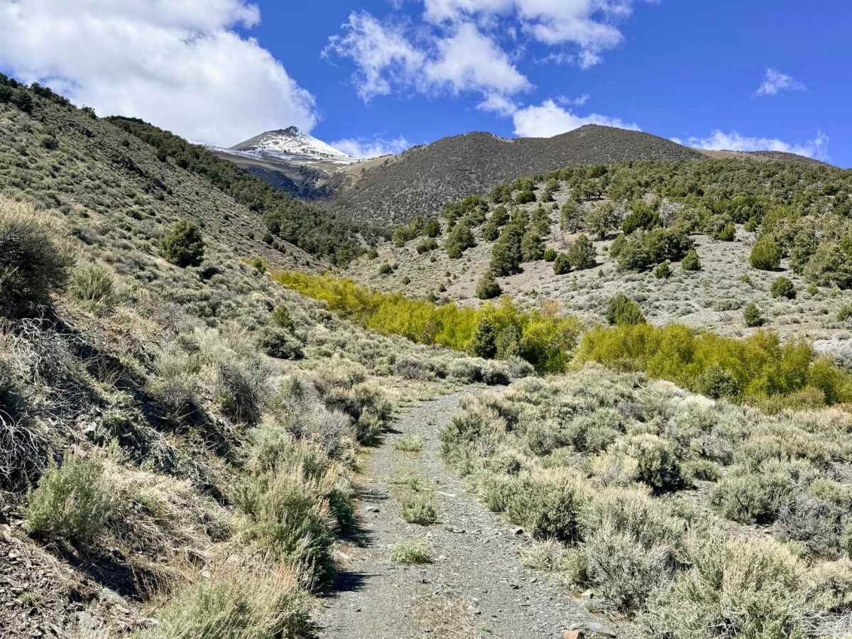
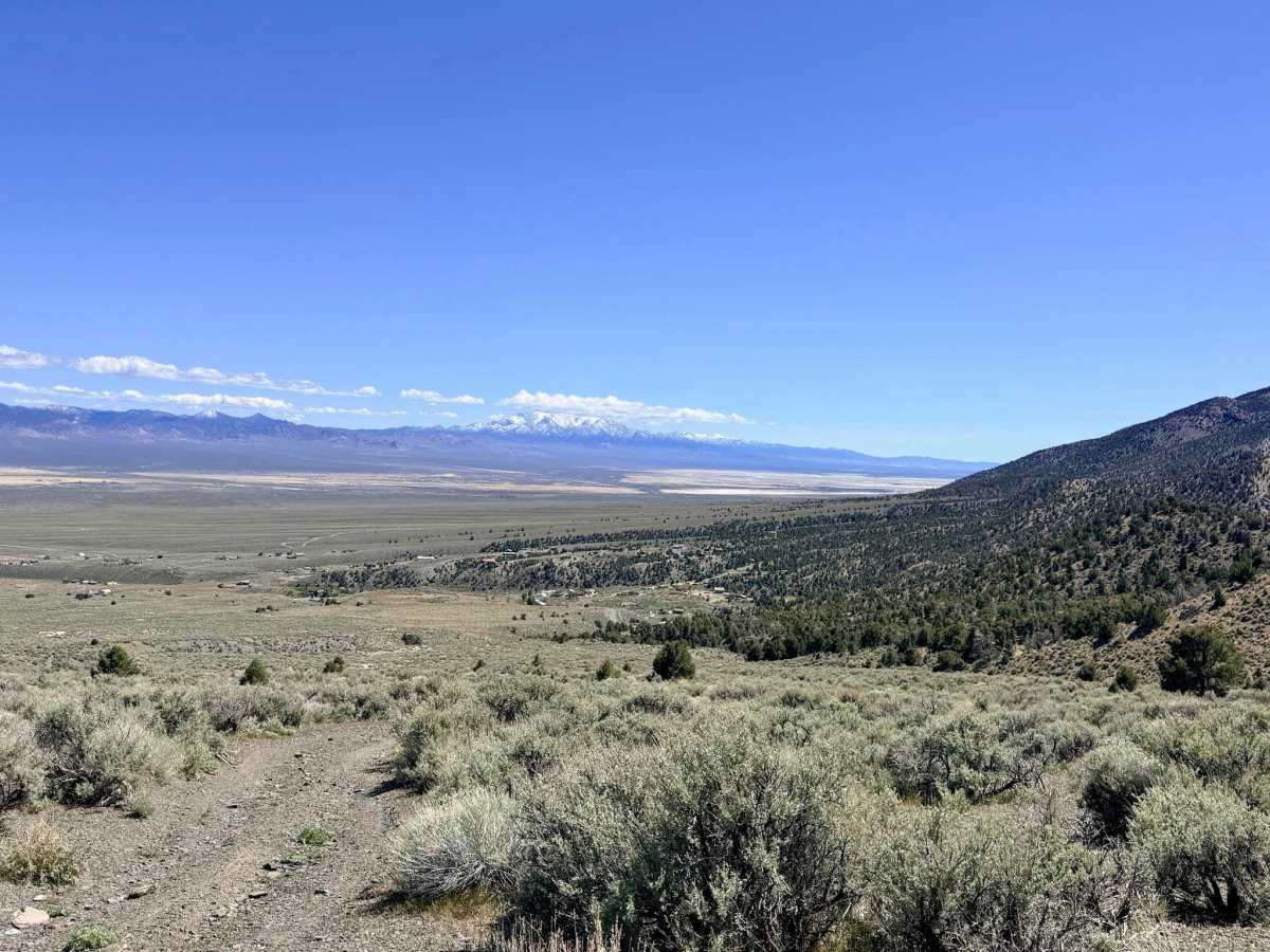
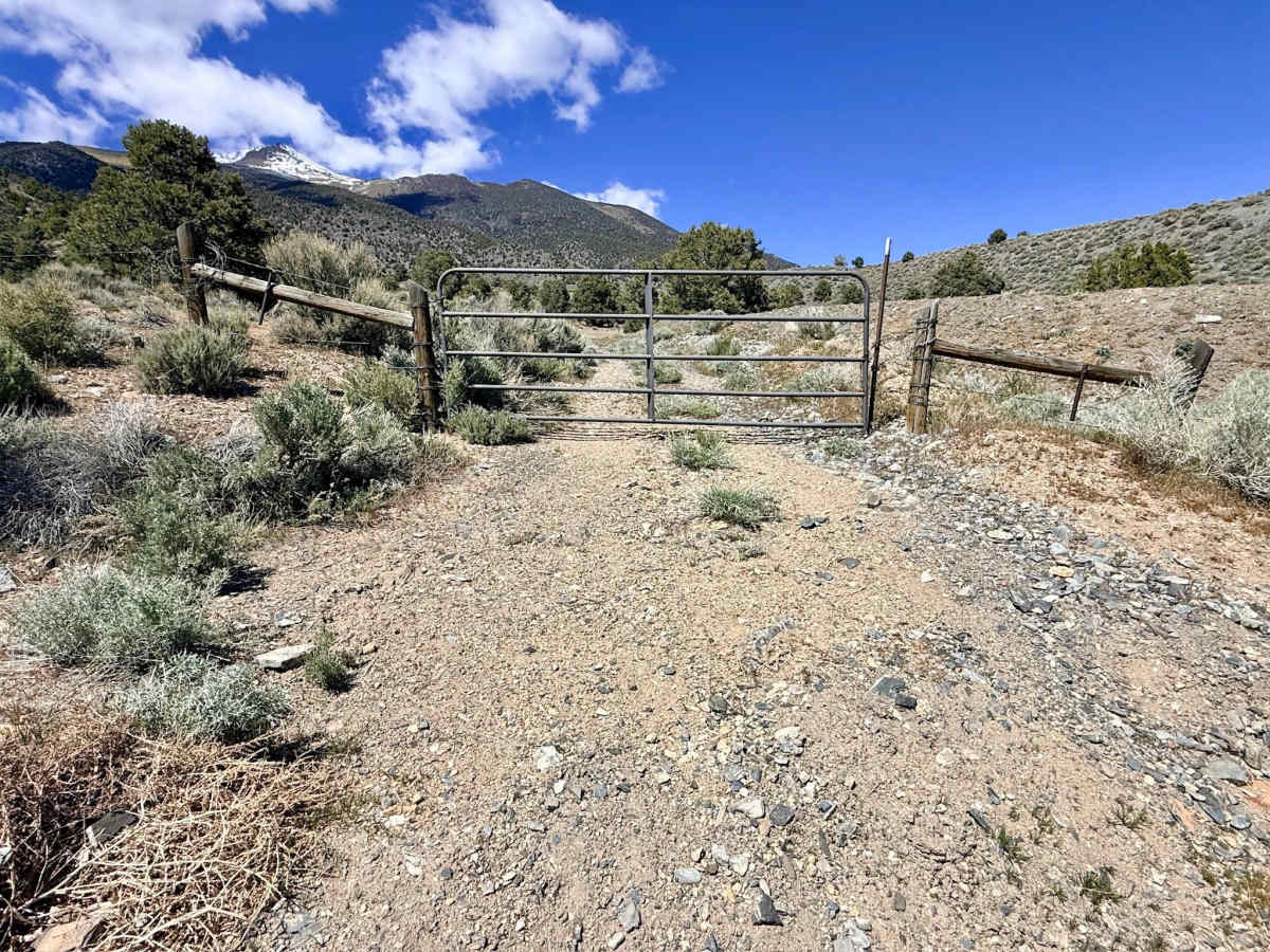
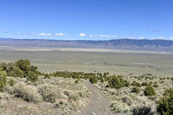
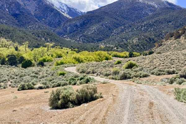
Trail Overview
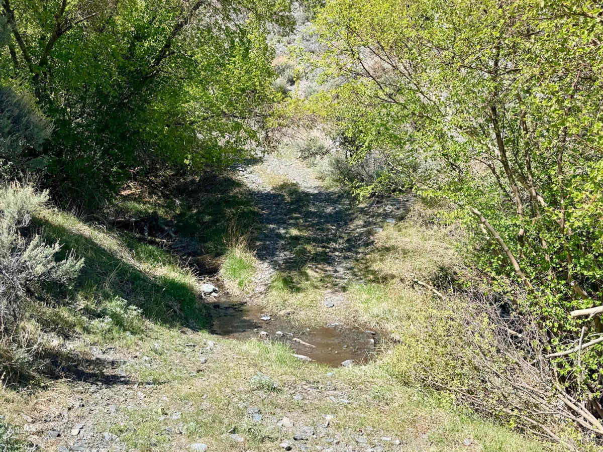
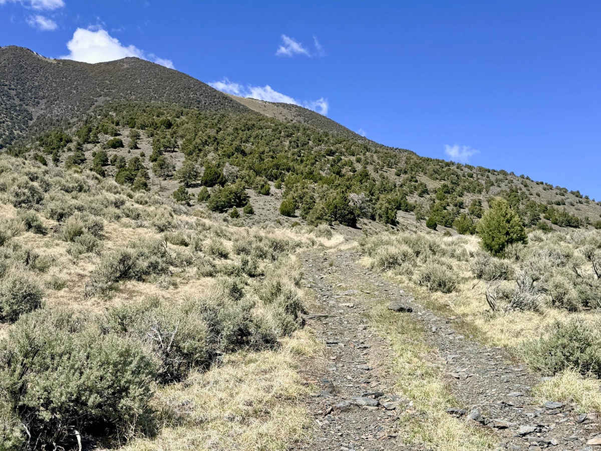
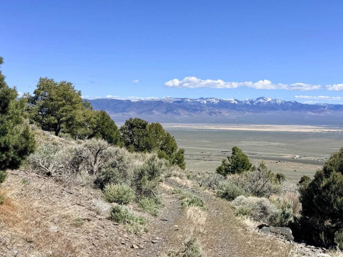
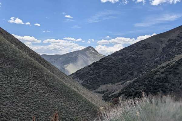
This is a short, punchy, and physically demanding climb that leads you directly out of the charming town of Kingston and deep into the rugged heart of the Toiyabe Range toward Blakely Canyon. This trail is a quintessential mountain "elevator," designed to gain elevation quickly. It consists of a long, sustained, and steep ascent, characterized by loose volcanic rock and deep-seated gravel, which will test your vehicle's traction and cooling system. The driving is technical and requires a focused eye. You will navigate several off-camber washouts where the trail has eroded, alongside scattered boulders that demand careful tire placement. The steepness remains relentless until you near the summit, where the trail finally levels out to reward you with stunning, high-altitude views of the surrounding valleys and the shimmering basins far below. The route concludes with a final creek crossing just before joining the main Blakely Canyon Trail.
There is no cell service on this trail. The steep canyon walls and high ridges create a total signal shadow. Download offline maps before leaving the town of Kingston.
Difficulty
Rated a 4 due to the combination of the long, loose, and steep climb, which is punctuated by off-camber transitions. The final creek crossing is generally manageable but can be soft or muddy depending on spring snowmelt or recent rainstorms.
History
The town of Kingston, at the base of this trail, was established in the 1860s during the silver rush. While Austin was the regional hub, Kingston was a vital mill site due to the reliable water flow in the canyon. This trail likely originated as a primitive access route for prospectors looking to reach the high-altitude claims in the Blakely Canyon area.