Trail Overview
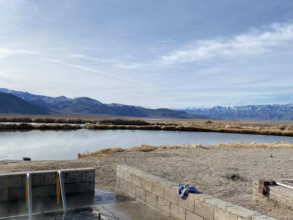
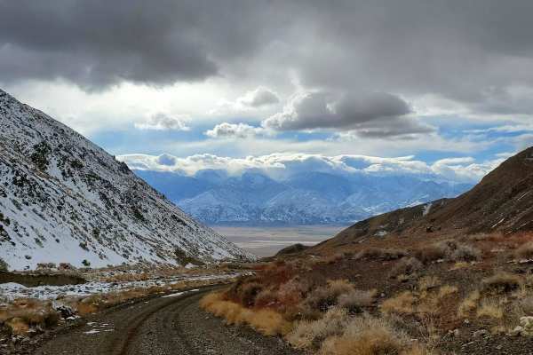
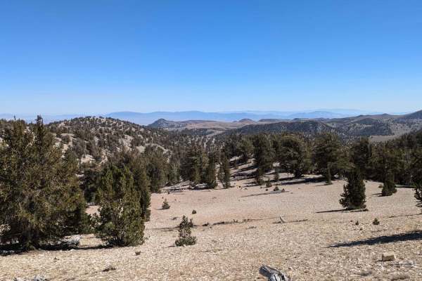
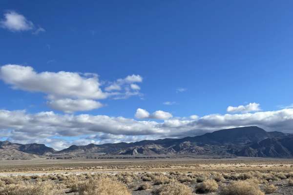
Fish Lake Springs Road is an easy, scenic gravel connector ideal for all vehicle types, linking the relaxing Fish Lake Hot Springs to the local saloon in Dyer, Nevada, with minimal highway travel. Spanning approximately 17 miles through the scenic Esmeralda County desert, this well-traveled, wide, and graded two-lane road is perfect for beginners, overland rigs, and standard passenger vehicles alike. Starting at an elevation of about 4,700 feet and peaking near 4,900 feet, the route offers wide-open desert vistas with the White Mountains towering to the west. At the northern end, the popular Fish Lake Hot Springs features a concrete tub piped with 100-degree natural spring water.
The area surrounding the hot springs provides free, open dispersed camping complete with vault toilets, though visitors must bring their own potable water as none is available on-site. Traveling south, the well-maintained gravel surface presents virtually no technical obstacles, allowing drivers to focus on the expansive views of the valley and nearby peaks like Piper Peak and Silver Peak. The route terminates near State Route 264 just north of Dyer, where offroaders can easily access local amenities, fuel, and the town saloon. This route is typically accessible year-round.
Access Description
There are no fees or permits required to drive Fish Lake Springs Road or to use the Fish Lake Hot Springs. Free dispersed camping is permitted in designated open areas near the hot springs. Vault toilets are available on-site, but visitors must bring all of their own potable water as there is no water source at the location.