Trail Overview
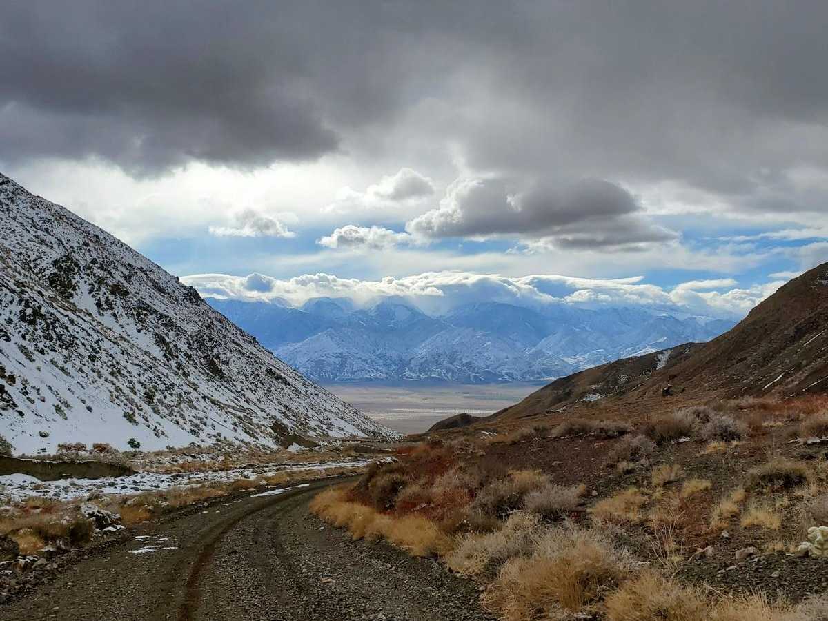
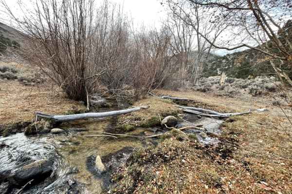
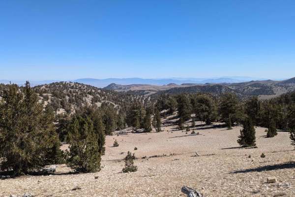
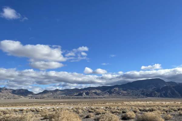
Cabin run via McAfee Road is an ideal adventure for historic mining enthusiasts and scenic explorers seeking a journey from the flat farmlands of Fish Lake Valley deep into the rugged Silver Peak Range. Beginning near the town of Dyer, Nevada, at an elevation of approximately 4,800 feet, this 24-mile route climbs steadily along an old mining road to an elevation of over 8,200 feet near Silver Peak. The trail offers a technical rating of 2, making it accessible to most high-clearance four-wheel-drive vehicles, SxSs, and dual-sport motorcycles under dry conditions. As the trail winds through the canyon, travelers experience a dramatic transition from arid desert sagebrush to pinyon-juniper woodlands, with sweeping views of the surrounding peaks, including Piper Peak and Sugar Peak. The route follows McAfee Creek, leading adventurers past historic ruins and providing a glimpse into the region’s rich mining heritage.
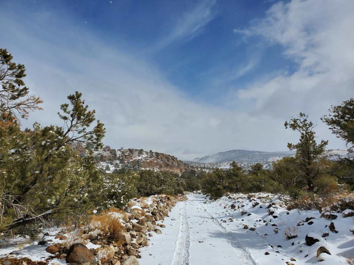
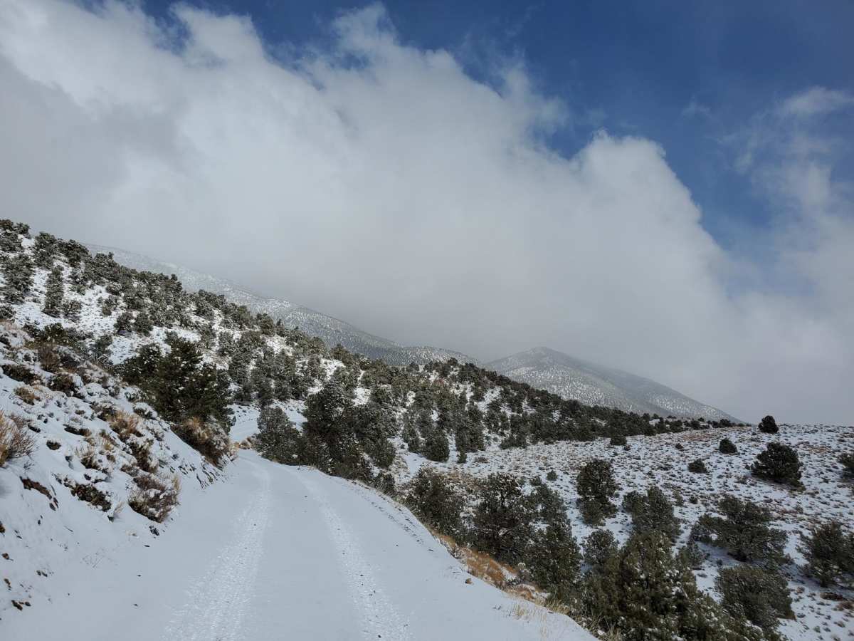
The trail culminates near historic bunkhouses and old mining cabins, where visitors can park and explore the remnants of the old mine site on foot or by vehicle. While the path is generally easy during the dry season, winter weather brings significant challenges, with heavy snowfall often leaving the upper sections impassable. Offroaders traveling during the colder months should prepare for deep snow drifts, mud, and icy patches, requiring tire chains and recovery gear. There are numerous opportunities for primitive camping and dispersed recreation along the way, making it a perfect weekend getaway. Ensure vehicles have a full tank of fuel, plenty of water, and reliable offline navigation before heading out into this remote and scenic corner of Esmeralda County.
Access Description
The route is situated on public land managed by the Bureau of Land Management (BLM). No permits or fees are required to access or camp along this trail. Dispersed camping is allowed on BLM lands. High-clearance four-wheel-drive vehicles or SxSs are recommended, and winter travel requires preparation for deep snow, ice, and potential drifts.