Cottonwood Pass

Total Miles10.8
Technical Rating
3Easy
Best TimeSpring, Summer, Fall, Winter
Trail TypeHigh-Clearance 4x4 Trail
Accessible By
Open Trail Map

Trail Overview

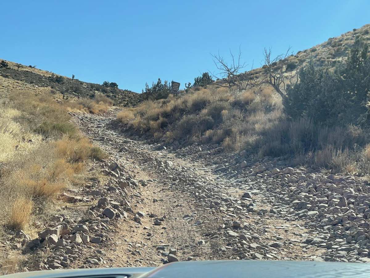
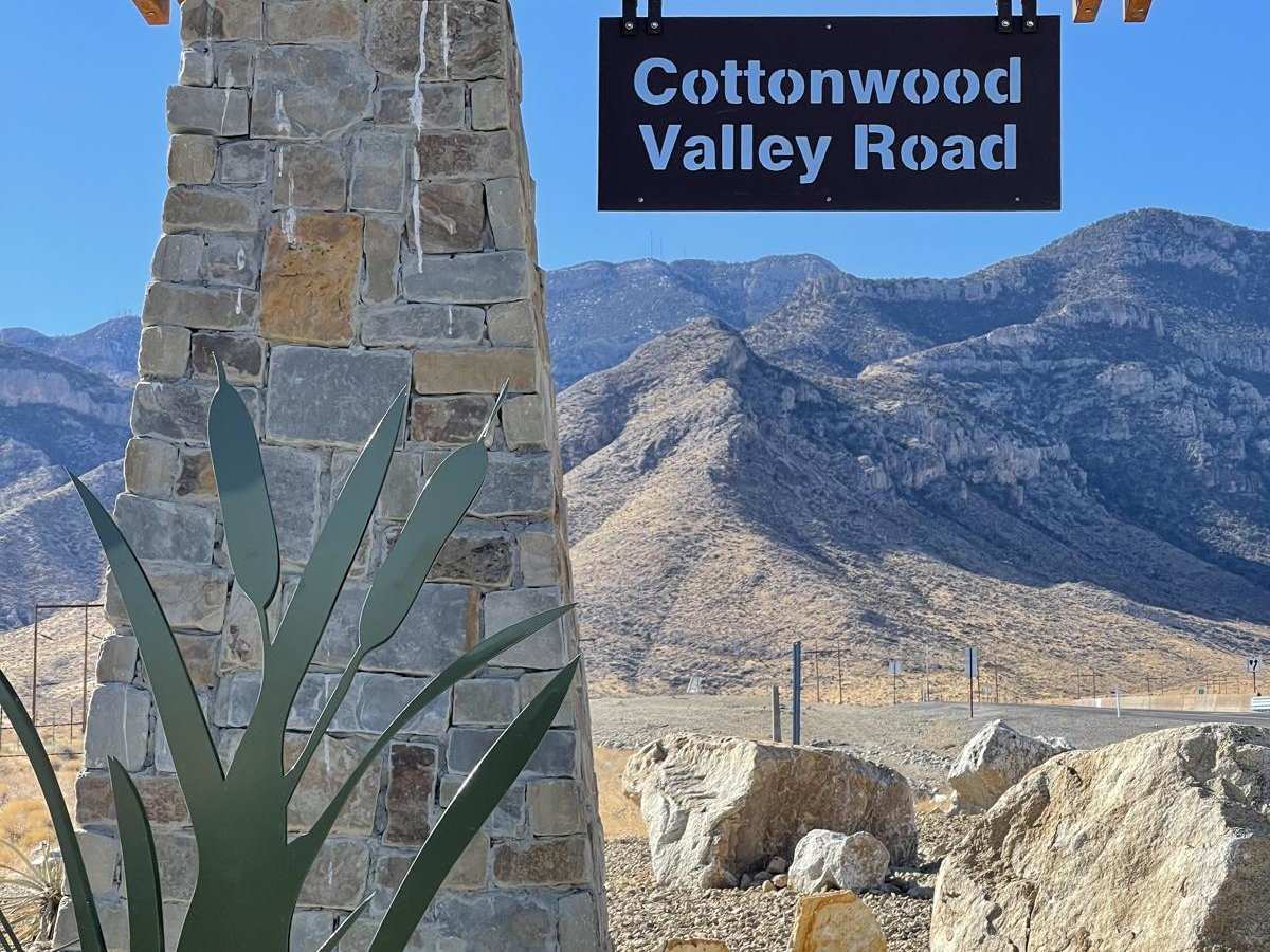
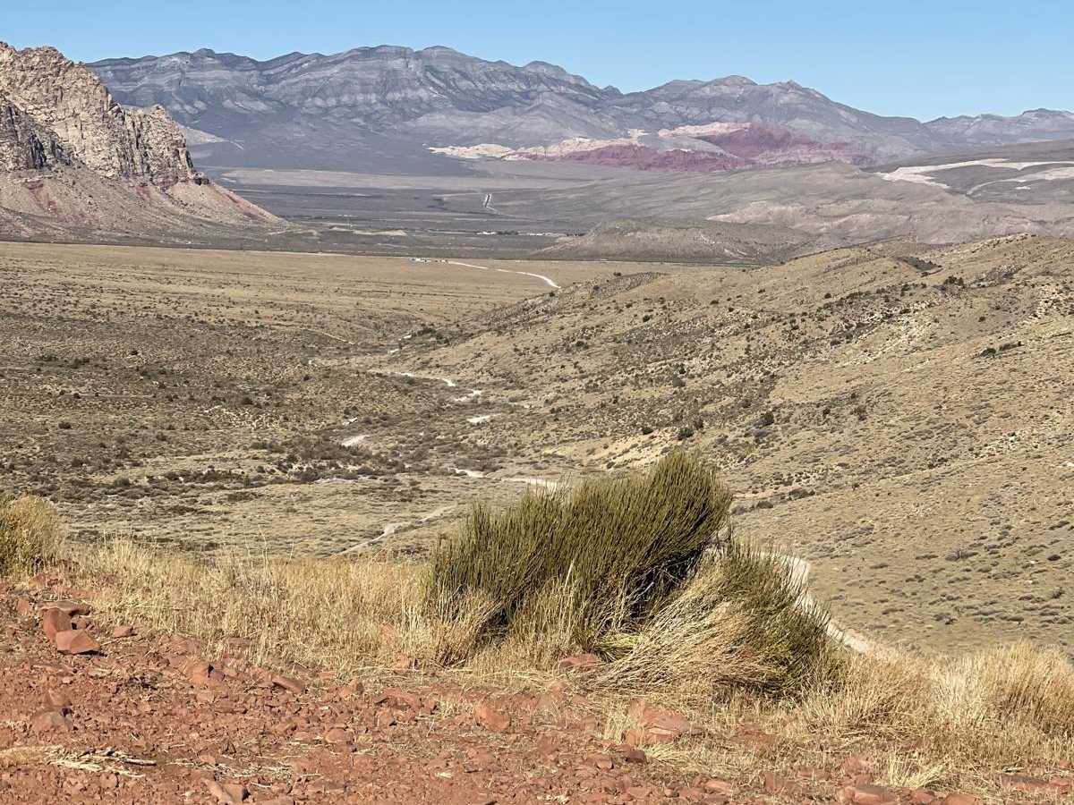
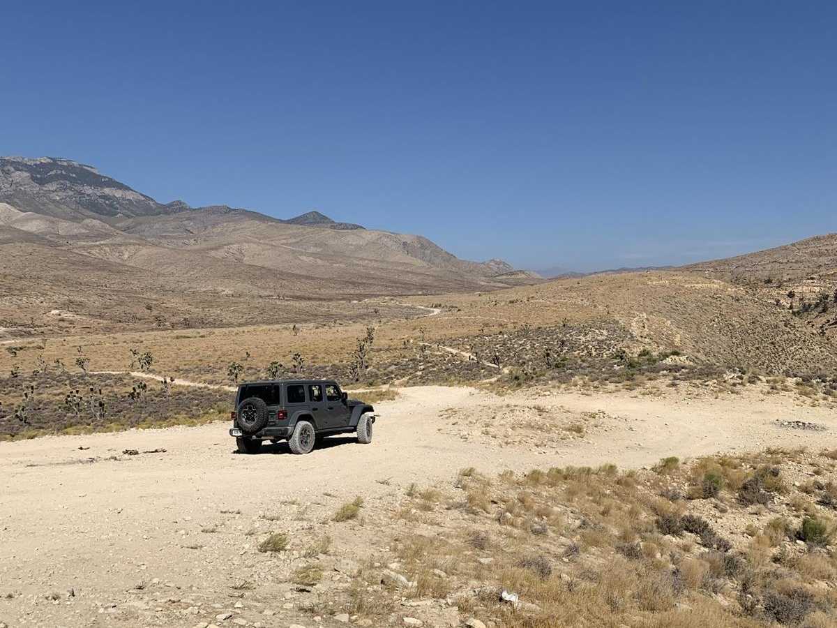
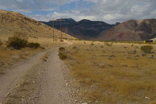
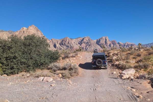
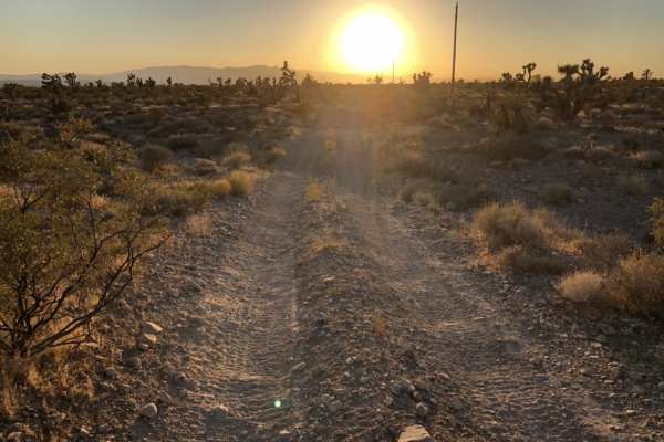
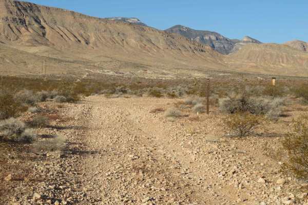
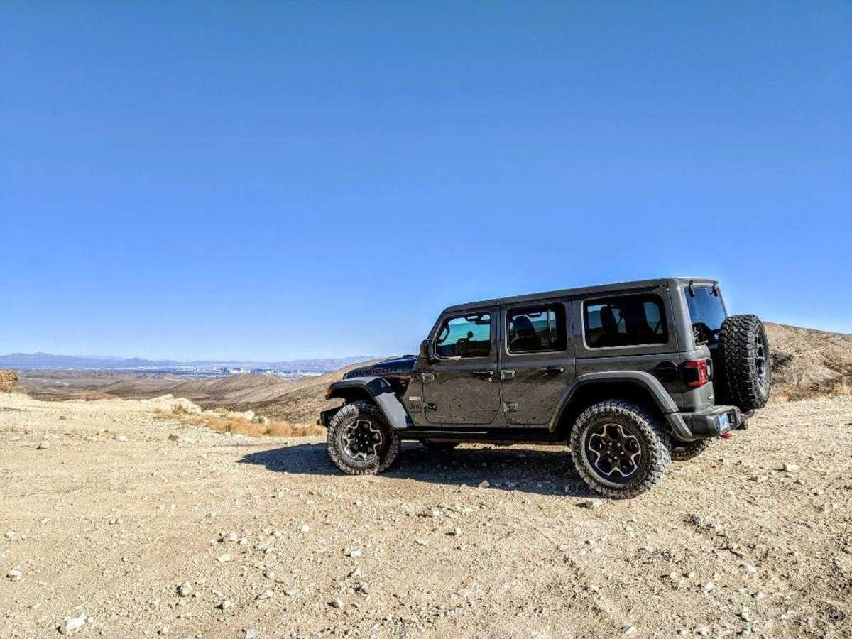
Cottonwood Pass runs north and south through the Spring Mountain and Red Rock conservation areas just west of Las Vegas, NV. From Blue Diamond Road, you can take Cottonwood Pass all the way to Goodsprings, NV. Once you get down there, stop at the Pioneer Saloon for a good burger or visit some old historic ghost towns. At the trail's end, you can take a paved road towards the town of Jean and Interstate 15 for a 20-30 minute drive back into Las Vegas. The first four miles of Cottonwood Pass are the most difficult. If you want to test the skid plates of a stock Rubicon, take a short 1/2 mile turn onto Cottonwood Pass West road for a 6-7 difficulty hill obstacle. Once past this point, the trail is mostly flat and runs through typical desert terrain. There is also a short turn-off from the main trail with a nice view of the Las Vegas Valley.

Photos of Cottonwood Pass

Difficulty

The hill obstacle can be bypassed and is completely optional.

Technical Rating

3

Status Reports

Add Status Report
dakota hetrick
Dec 29, 2025
2014 Kawasaki KLX250S
Open
Pretty rocky in some areas, minimal wash out
Nick Coyne
Dec 21, 2025
Open
NormalRough/Deteriorated
Fun trail. Unfortunately I got a late jump so I didn’t get to see the whole trail, but caught the sunset from the vantage point where you can see the strip. I did this in my new stock ‘26 Chevy WT 2WD w/ no problems at all. There were a few waves of roughness but nothing too treacherous. Slightly scraped my skid plate a few times, just lost some paint. There were a few UTVs I passed. Overall, pretty fun. Took me 2 hrs w a few stops here and there, including air-down and inflation time.
Edward Pilewski
Dec 14, 2025
2020 Jeep Wrangler
Open
NormalDusty
Road this trail from the south end of Wilson Tank Trail south into Goodsprings. Basically a rough dirt road.
Justin L
Nov 30, 2025
2023 Toyota 4Runner
Open
NormalMuddy/WetRough/Deteriorated
Saw ATVs, SXSs and mountain bikers. Mud puddle at the north end and south end. West Road 45800A is rocky as ever.
Dominic Russell
Nov 26, 2025
2017 Chevrolet Silverado
Open
Normal
Trail was very fun went after it rained and had alot of ruts but nothing to bad, done in 2wd. 4wd not needed
Nate R
Nov 17, 2025
Open
Normal
The trail is a beautiful and easily trail. There are some spots that are quite bumpy and the whoops rock you back and forth. This trail is a good one to take your time and take in the scenery.
Jody Thomas
Nov 02, 2025
2025 Subaru Crosstrek
Open
Normal
I rarely to never see anybody on here with a Subaru Wilderness so here goes. I feel I put my tires to a real test today. More rocks than I thought and some were about as much as this Subie can handle, but we did it! Everybody on the trail had a jeep or ATV. Some part I’ll rate a 3 not a 2. It was a little sketchy in some spots but doable. Where’s all the Subie off roaders?
Aaron McCook
Sep 27, 2025
Open
Jim Roal
Sep 07, 2025
2023 Husqvarna 701 Enduro
Open
NormalDusty
The hill climb on the North side of the pass used to be rutted with a groove and 4" loose rock at the bottom. Now it has been graded smooth. This was the hardest part of this trail but now it is just a gravel road. The rest of the trail is in typical condition. This is an easy trail.
Ghost RS
Jul 05, 2025
2022 Toyota Tacoma
Open
Dusty
Easy trail, you can drive all the way through and end up at Goodsprings and then back up on I15.
Pen Dayha
Jul 03, 2025
2021 Jeep Wrangler
Open
Normal
Super easy trail. First time taking the wrangler out on the trail and it was a walk in the park for this vehicle.
Alejandro Baron
May 11, 2025
Open
Dusty
Michael Cullen
Apr 18, 2025
Open
DustyWashboard
First time off-roading. Felt like a good beginner trail — just challenging enough
Kevin H
Dec 11, 2024
2024 GMC Hummer
Open
DustyRough/Deteriorated
Very rocky. nothing that can't be tackled by an SUV with decent clearance. I put the Hummer in off-road mode and left it in "D". As mentioned by others, the northern third of the road is a little more difficult, not nothing too tricky. In the southern half I was able to get up to a little over 20mph in some places.
J K
Nov 20, 2024
1993 Jeep Wrangler
Open

Cottonwood Pass Trail can be accessed by the following ride types:

  • Single Track
  • 50 Inch
  • High Clearance

Cottonwood Pass Map

The onX Offroad Difference

onX Offroad combines trail photos, descriptions, difficulty ratings, width restrictions, seasonality, and more in a user-friendly interface. Available on all devices, with offline access and full compatibility with CarPlay and Android Auto. Discover what you're missing today!

Open Trail Map