Trail Overview
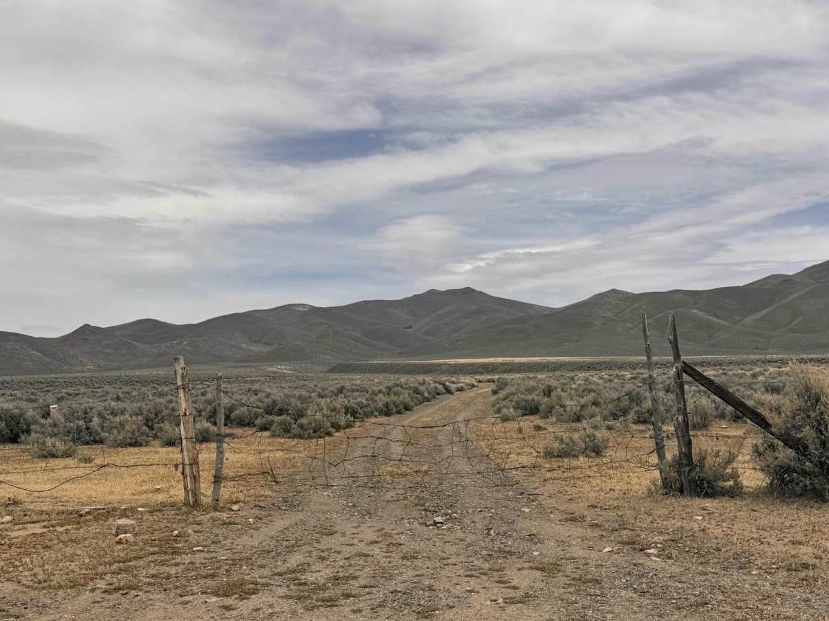
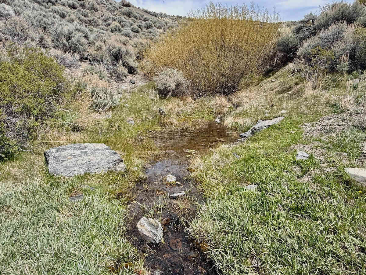
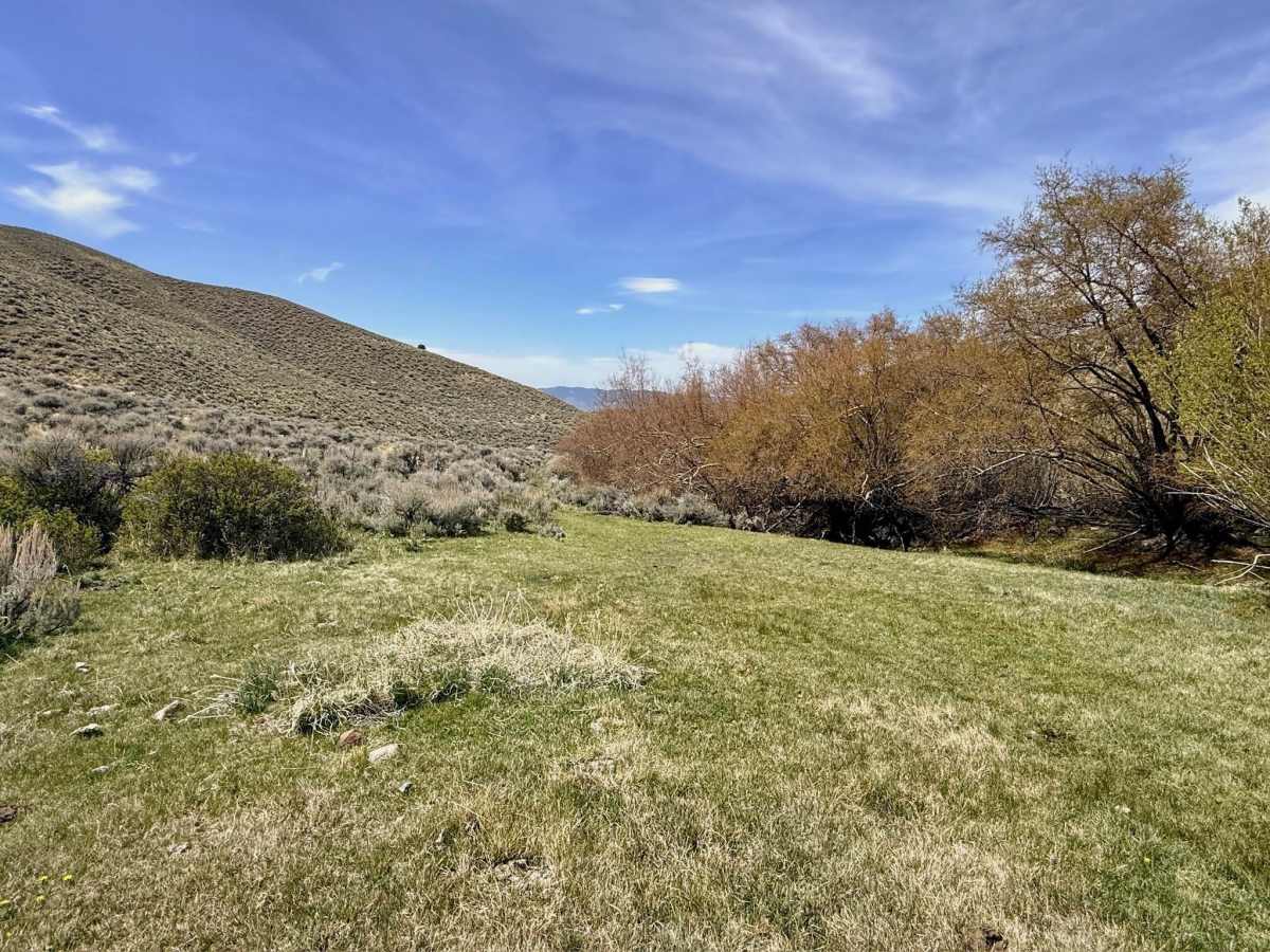
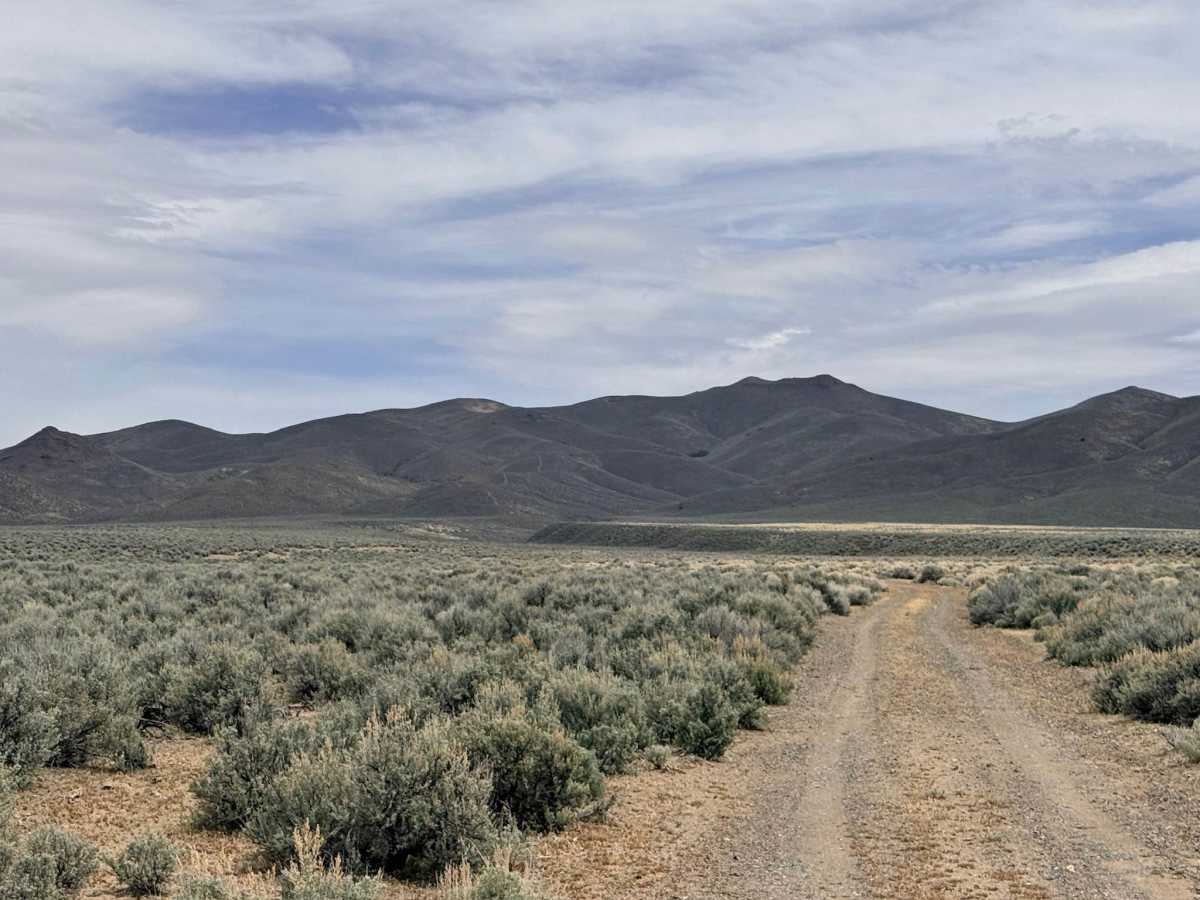
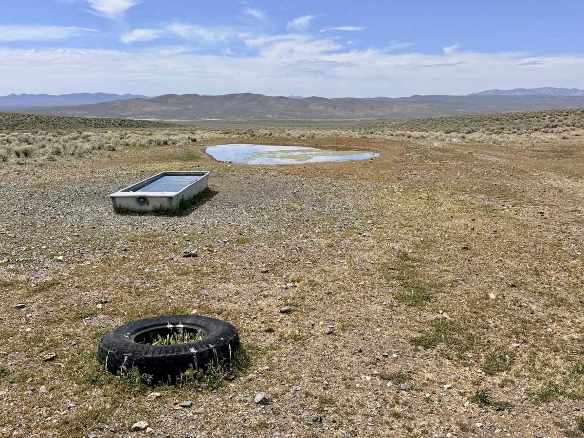
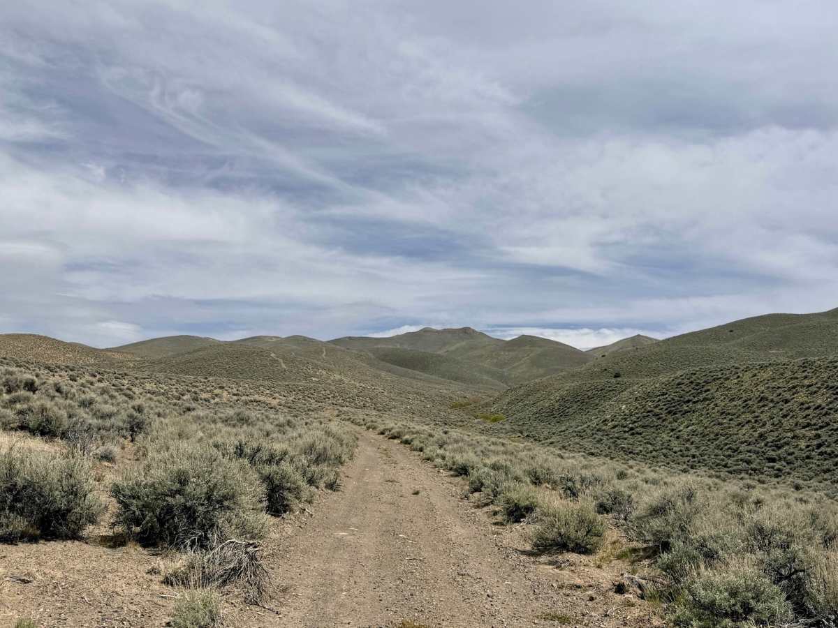
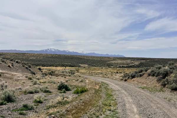
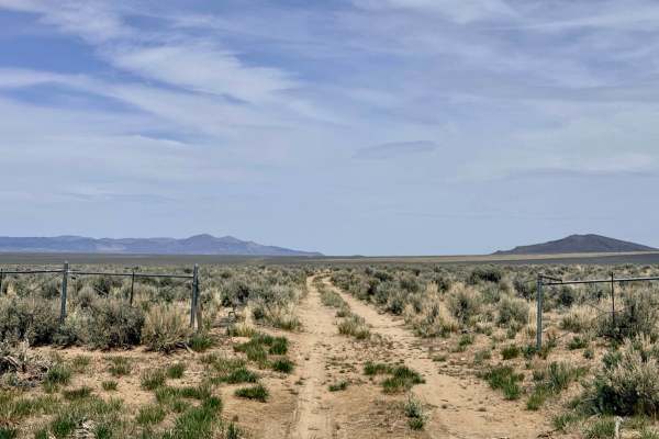
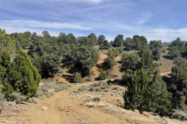
Cottonwood Canyon is a rugged out-and-back trail that follows the winding path of Cottonwood Creek, a rare and vital desert waterway fed by natural springs higher up in the range. The journey begins relatively easily, with a few minor washouts that most high-clearance vehicles can handle without issue. However, as the trail descends toward the creek bed, the environment transforms into a lush, green corridor that stands in stark contrast to the surrounding high desert. Be prepared for a "close-up" experience with the local flora; as you head deeper into the canyon, the trail narrows significantly. "Arizona pin stripes" (paint scratches) are guaranteed as the thick sagebrush and riparian brush line both sides of the path. After a few shallow creek crossings, you will arrive at a beautiful, open grassy meadow. This is a premier spot for remote camping and serves as the recommended turnaround point for all full-size vehicles. Beyond this meadow, the trail becomes extremely tight and is best suited only for dirt bikes, ATVs, and 50-inch wide UTVs. This is active open-range territory. Leave all gates exactly as you found them (open or closed). Cattle frequently congregate near the creek and the grassy meadow; please yield to them and move slowly. Service is very spotty at the canyon entrance and completely non-existent once you drop into the canyon. Download offline maps before leaving the Highway 305 corridor. Nevada’s canyons can be traps in bad weather. Carry at least one gallon of water per person per day, extra fuel, and a full-sized spare tire.
Difficulty
While usually shallow, the two main wash crossings can become muddy and deep depending on spring runoff or recent storms. The sagebrush is thick and unavoidable in the narrow sections. Do not attempt this trail if you are concerned about your vehicle's paint finish. Full-size trucks and SUVs should not proceed past the grassy meadow. The trail beyond that point is not maintained for full-size widths.
History
In the arid Great Basin, canyons with reliable springs like Cottonwood were the lifeblood of the region long before the silver boom. For the Western Shoshone, these canyons provided water, shade, and a variety of medicinal plants and game. Later, early ranchers used these "sky island" water sources to sustain their herds in an otherwise unforgiving landscape. The ruins of old corrals or faint foundations found in these canyons are remnants of a time when access to a spring like this meant the difference between a successful homestead and a failed one.