Trail Overview
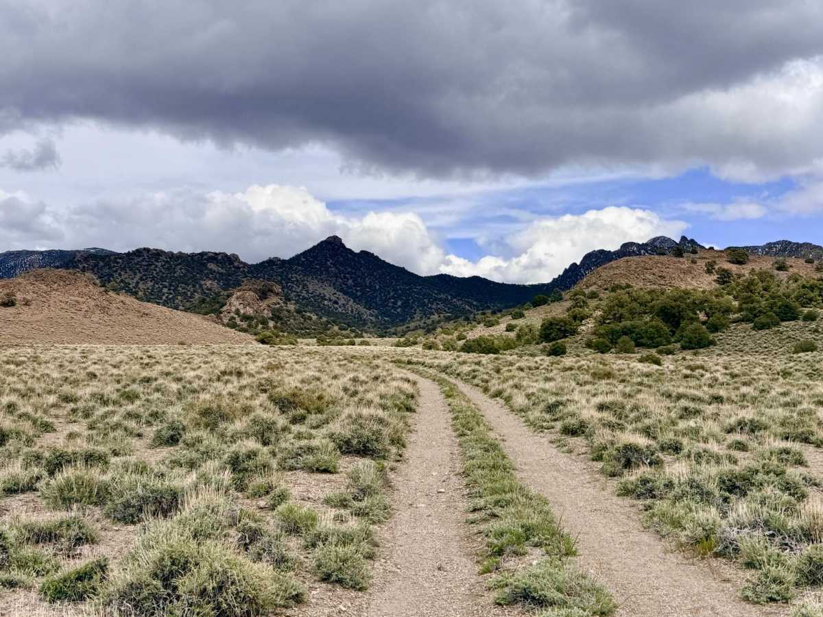
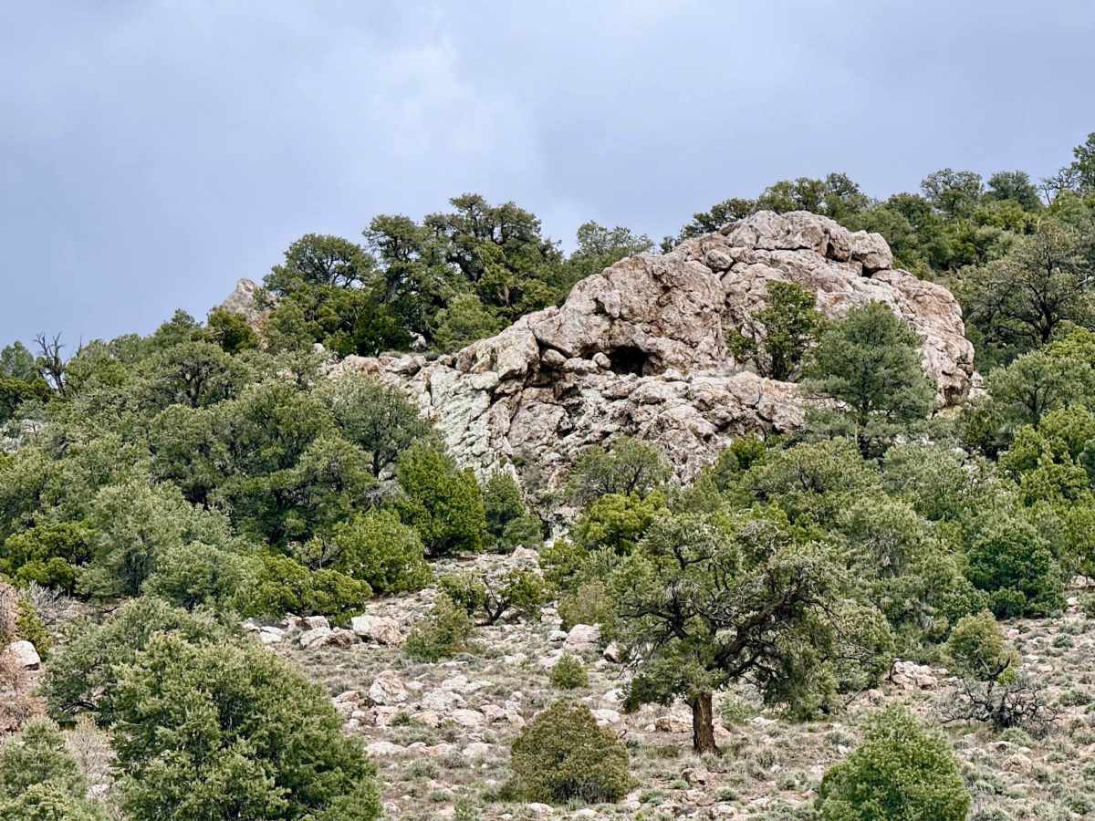
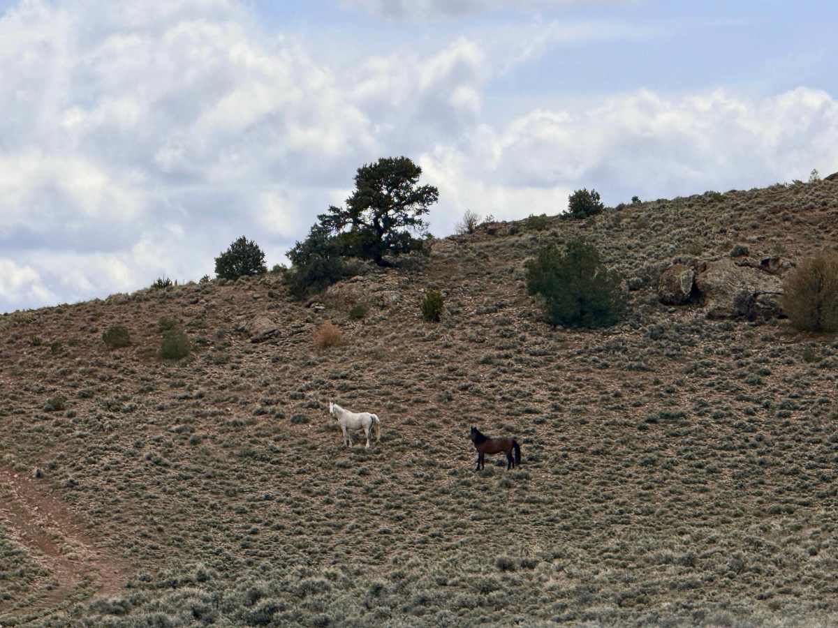
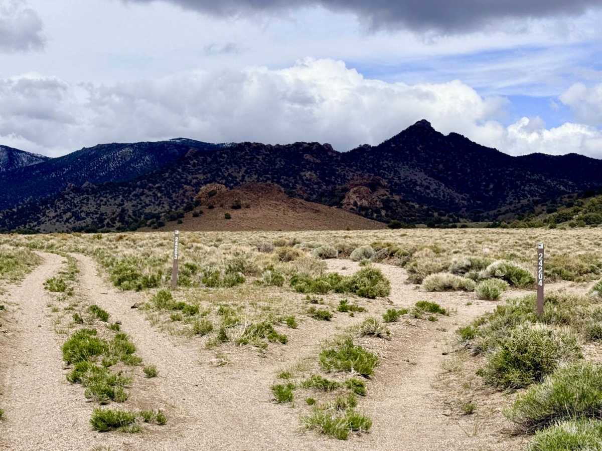
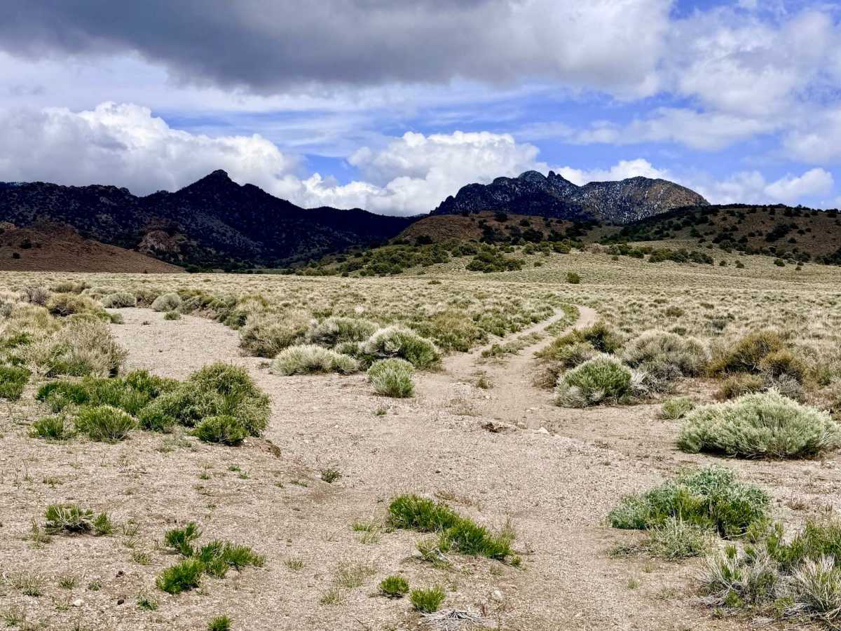
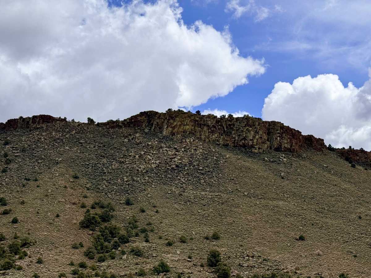
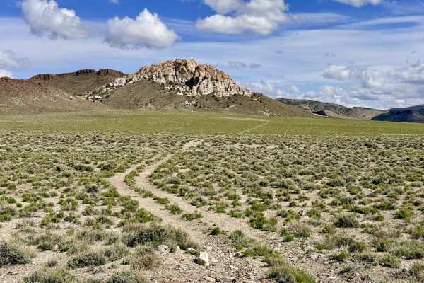
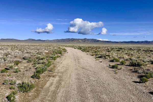
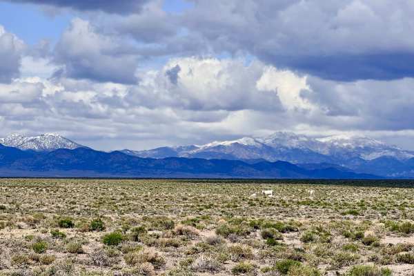
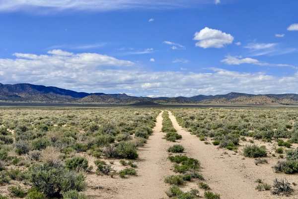
Boundary is an engaging and technically demanding out-and-back trail that carries explorers from the sun-drenched sagebrush plains into the higher, more intimate elevations of the Toiyabe Range foothills. This route provides a dramatic environmental shift, transitioning from open basins into dense, aromatic groves of Utah Juniper and Pinyon Pine. As the name suggests, the trail follows the rugged terrain near the National Forest boundary, providing vital access to several technical two-tracks and scenic offshoots that lead to secluded cliffside vantage points. The driving experience is spirited and requires a focused "keener’s eye." The route is defined by several "steep and deep" transitions as the trail drops into and climbs out of natural washes. Drivers must also navigate very tight, narrow turns where ancient junipers and pines have begun to reclaim the track. The area is a sanctuary for Nevada’s most iconic wildlife; at the time of recording, multiple bands of wild horses (mustangs) were spotted along the route, alongside Pronghorn Antelope racing through the clearings. For those looking for an overnight adventure, the various offshoot trails offer several primitive, high-vantage spots for cliffside camping with unobstructed views of the desert below.
A high-clearance 4x4 with a shorter wheelbase (like a Jeep Wrangler or a mid-size truck) is highly recommended. All-terrain or mud-terrain tires with strong sidewalls are an asset for the rocky wash transitions. There is no cell service on this trail. The high ridges and canyon folds create a total signal shadow. Download offline maps before leaving the Tonopah or Highway 6 corridor. This is rugged, remote terrain. Carry at least one gallon of fresh water per person per day and ensure your cooling system is in top condition for the climbs.
Difficulty
Rated a 4 due to the extreme angles found at the wash crossings. High clearance and excellent approach/departure angles are mandatory to avoid bumper or undercarriage contact. The combination of tight turns and low-hanging, overgrown trees makes this trail best suited for Jeeps, mid-size trucks, or narrow-body OHVs. Expect "Arizona pinstriping" on full-size vehicles that attempt this route.
History
The "Boundary" trail likely originated as a patrol or access route for the early forest rangers and ranchers who managed the transition between public BLM land and the protected National Forest. In the late 1800s, these foothills were critical summer grazing lands for the cattle that fed the silver mills in Tonopah. The wild horses you see today are the living legacy of that era, the descendants of the sturdy ranch horses and pack animals that either escaped or were released when the mining booms faded.