Trail Overview
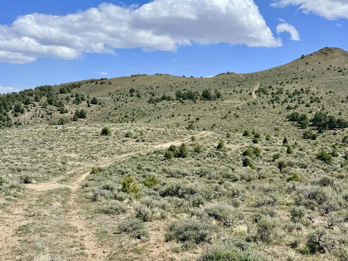
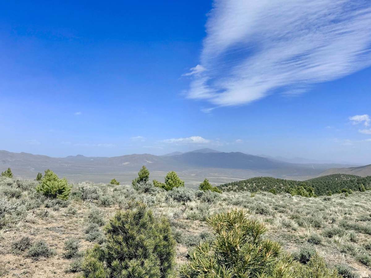
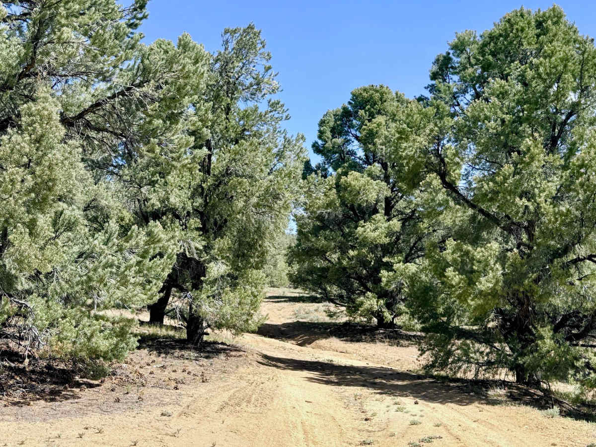
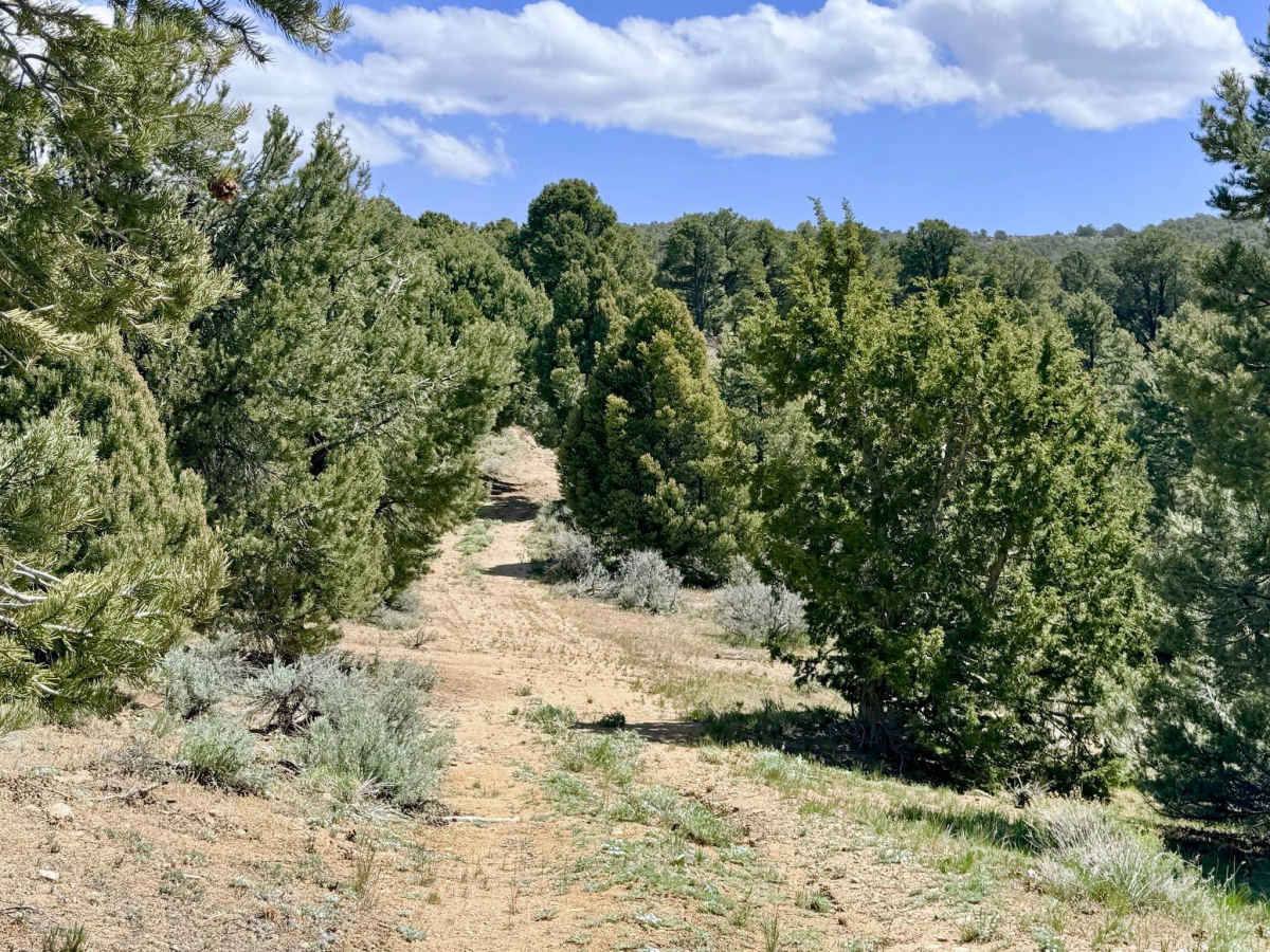
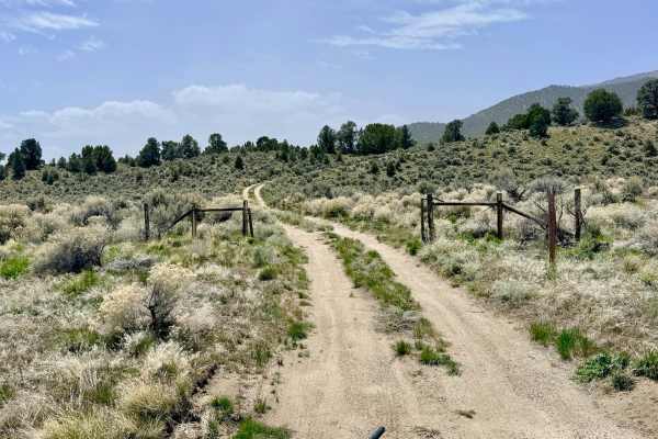
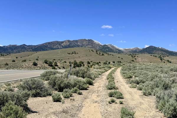
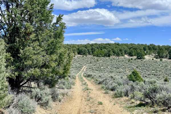
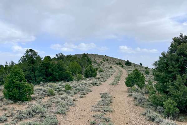
Blackbird Spring Loop is a fun, physically engaging trail that offers a more technical alternative for crossing the ridges southeast of Austin. The route begins near the Bob Scott Campground and winds its way toward Highway 50, offering a diverse range of high-desert environments. The northwestern segment of the loop plunges you into a relatively tight Utah Juniper and Pinyon Pine forest. In this section, drivers must be alert; the trail is characterized by numerous washouts and long, sustained off-camber tilts that will certainly get your suspension working. Once you break out of the timber, the trail climbs onto the open hillsides, rewarding you with expansive, majestic views of the surrounding peaks and the valley floor far below. This high-altitude segment features several steep hill climbs and descents that require traction management. For those looking to extend their stay in the clouds, several high-quality dispersed spots are located on the ridge-top sections, offering incredible views but very little protection from the wind.
Cell signal is extremely spotty. You may catch a bar on the highest ridges, but it is nonexistent in the timber and canyons. Download offline maps before leaving the Bob Scott Campground area.
Difficulty
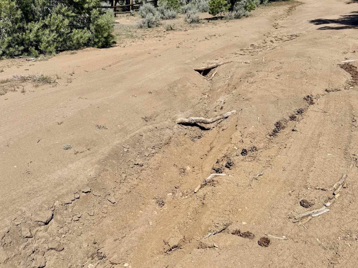
Rated a 3 for the frequency of deep ruts and long, off-camber sections caused by erosion. High clearance and good articulation are necessary to navigate the "suspension-testing" washouts in the juniper forest. This trail is particularly susceptible to erosion. During the spring snowmelt or after summer monsoons, the off-camber sections can become significantly more difficult and slippery.
History
The Blackbird Spring area reflects the diverse history of the Toiyabe Range. Long before the silver rush, these "sky island" forests were vital to the Western Shoshone for harvesting pinyon nuts and hunting Mule Deer.