Zee Ess
Feb 15, 2026
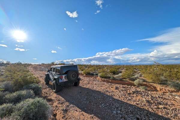
2020 Jeep Wrangler JLU EcoDiesel
Open
NormalMuddy/WetWashboard
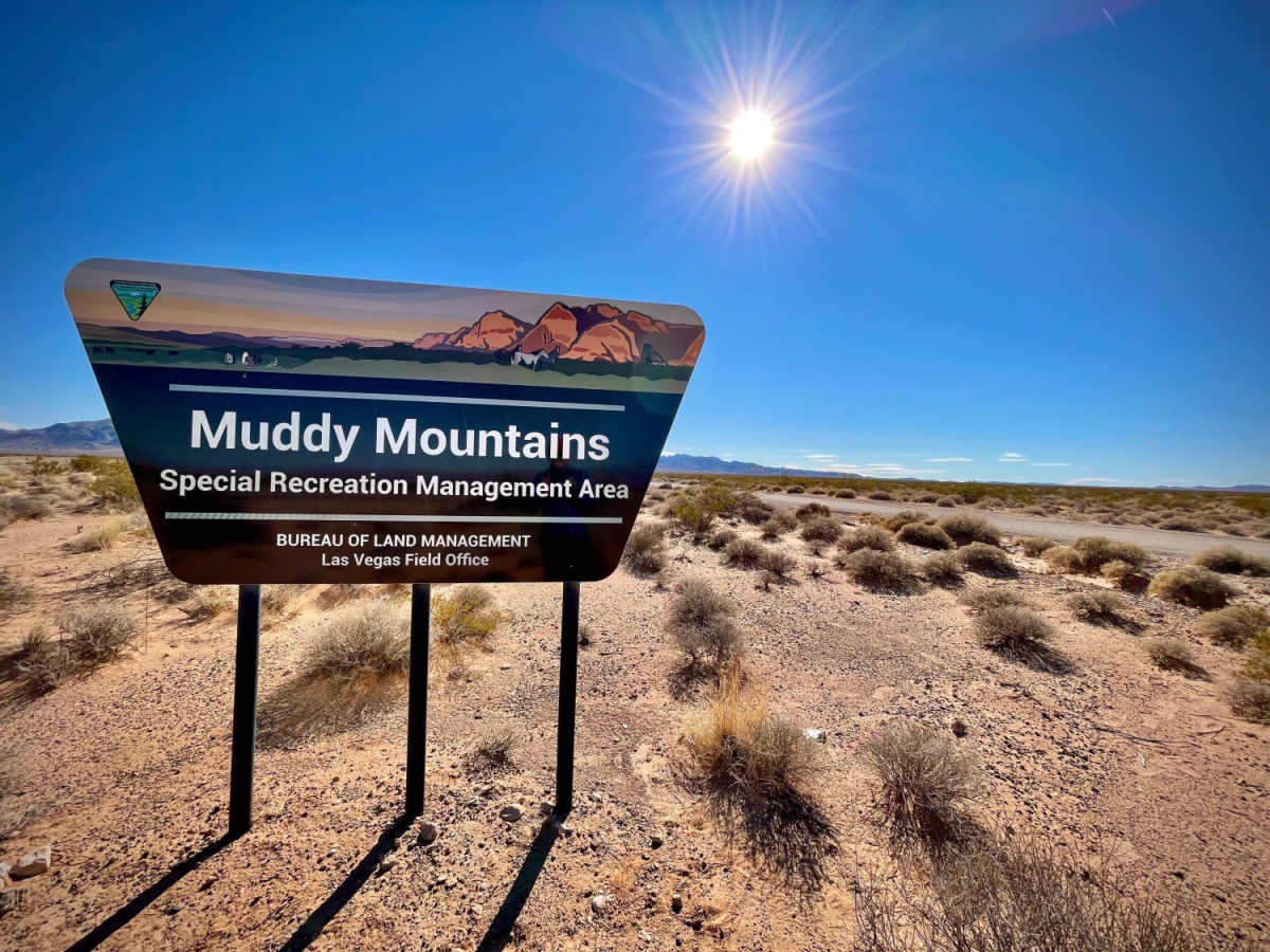
There were a couple SxS, and 3 cars other than us. This trail is no way near a 5! If anything, it's a 2 at the hardest. Ran the entire trail in 2WD. 4WD was NOT needed at all. There were some puddles. Otherwise, fun trail that we ran from Northshore Rd. towards Valley Of Fire HWY. We stopped a few routes for photo ops, fire example a there were a few wild horses, but the trail is quite slow for the most part. It took us, a comfortable, 4.5hrs with stupid along the way.
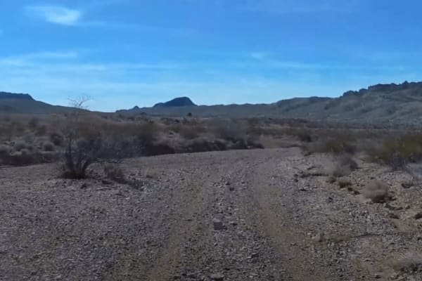
Jakson Ewell
Jan 18, 2026
Open
NormalDusty
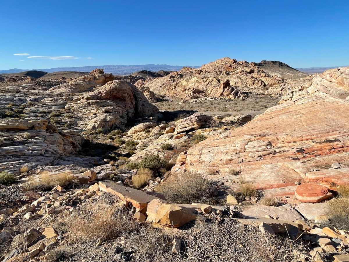
Very fun washes and double track, rode my Triumph Scrambler 400 X with Mitas Enduro Trail+ tires. Started on theeast end, rode the blue line to the dam and the green “shortcut” back to the east end. Some deep gravel and sand in the washes but if you go fast enough any dirt bike will be fine. Amazing scenery and unique sandstone!
Todd CWGRACING
Jan 17, 2026
Open
Normal
Next weekend- January 23-25 2026 the Bitter Springs trail area will be having a dirtbike race. Trail won't be closed but there will be racers on parts of the trail. There should be flaggers at trail crosssings and sect where trail is also part of the course.
Willian Verona
May 23, 2025
Open
NormalDustyWashboard
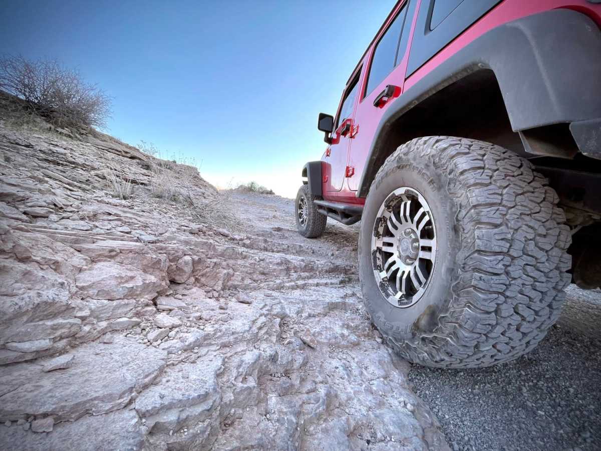
Nice trail, great views and cool campsites, road have lots of rocks but nothing too challenging, any 4x4 with good tires and decent clearence should be good.
Dave. Vern
Apr 11, 2025
Open
Rough/DeterioratedWashboard
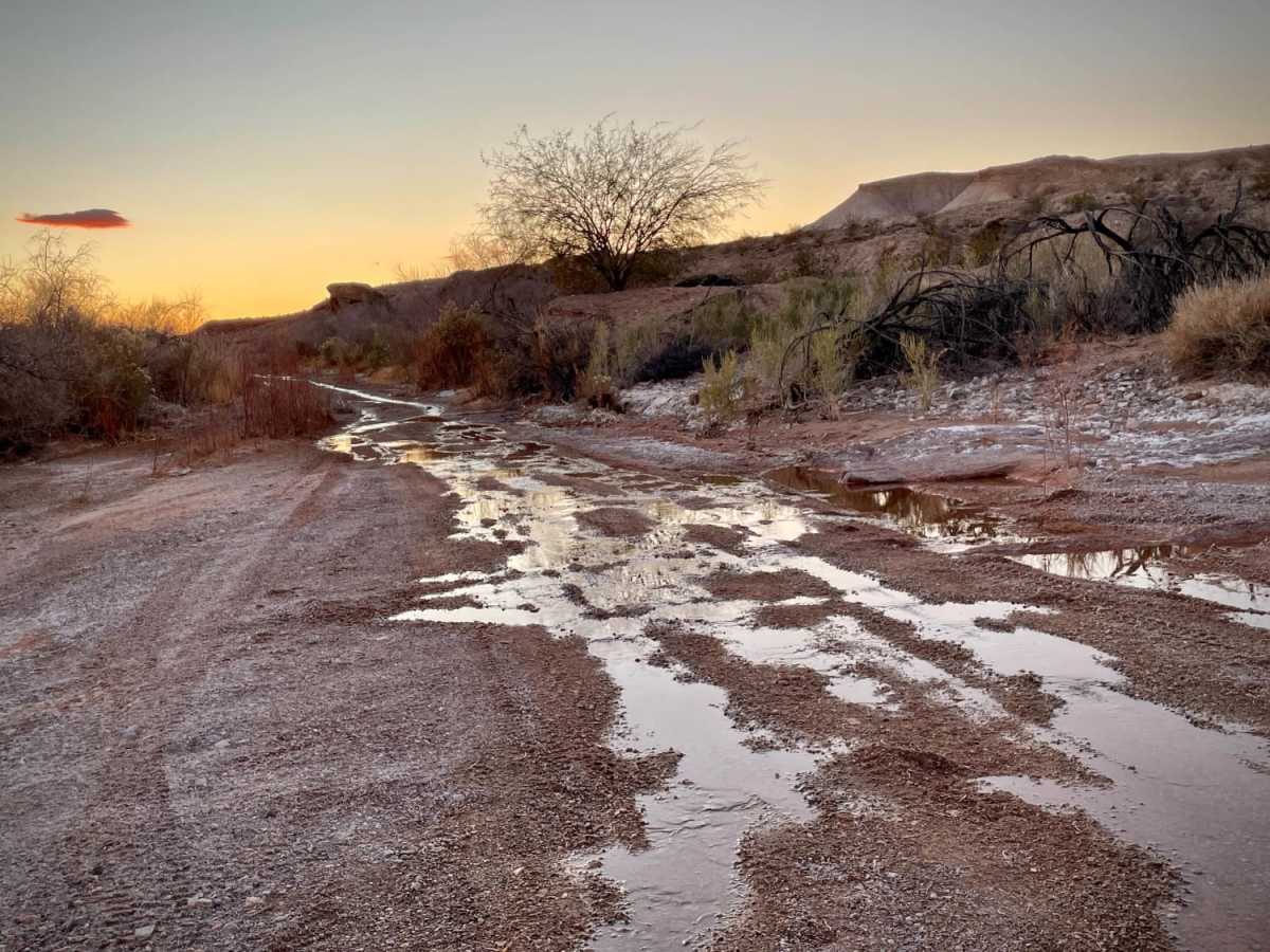
Slow crawl in the big rig. Did the 26 miles in three drives. Camped out on the trail two nights. Averaged about 4 miles an hour.. Lots of rocking and rolling. Great off-road trail near Vegas.
Kirby Ward
Feb 08, 2025
2023 Jeep Wrangler
Open
Entered trail from North Lakeshore road and drove through to Valley of Fire exit off I-15. Beautiful day with temperature in 60s. Rough trail lots of rocks, sand and dust. My average speed was 10 - 15 MPH for most of the 26 mile ride. Very little traffic and only one wild horse seen. Good tires, adequate clearances and perseverence are the required for this trail.
Ian Flores Siaca
Jan 05, 2025
2024 Subaru Outback
Open
NormalDustyRough/Deteriorated
Did it with a crew of Subarus. This trail has areas with very sharp rocks, washboards, and inclines. It’s fun and the speed varies a lot depending on the surface. Be careful with the big rocks that are digged under the sand in the areas where you speed up.
TJ Vogelsang
Dec 21, 2024
Open
NormalWashboard
Lots to see on this trail. It was washboard surface for a bit on the I-15 side. I have a stock height Silverado with all terrain tires and I didn’t have a problem getting though the rocky parts
ZJ Ian
Nov 14, 2024
1998 Jeep Grand Cherokee
Open
NormalDustyRough/Deteriorated
Rough rocky trail with intermittent stretches of looser gravel in between rock stretches. a few small sandy washes. Would recommend a higher clearance four-wheel drive. I did make it in a stock Grand Cherokee ZJ, but many stock SUVs would have difficulty. Almost turned around but glad I didn't, absolutely beautiful views. Worth the time, gorgeous trail. Didn't see much wildlife though.
Will C
Sep 22, 2024
Open
Normal
Absolutely an Amazing Trail. Easy Peasy, Tons of Wildlife. Actually drove from Exit off (I-15) to 30 Yards to Waters Edge of Lake Mead. Definitely Will Make This Trip Again..
Jeep Jake
Jul 13, 2024
Open
NormalDusty
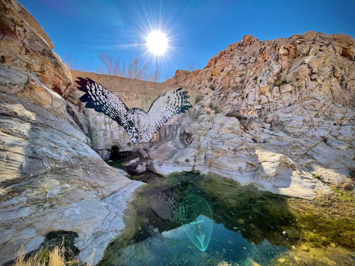
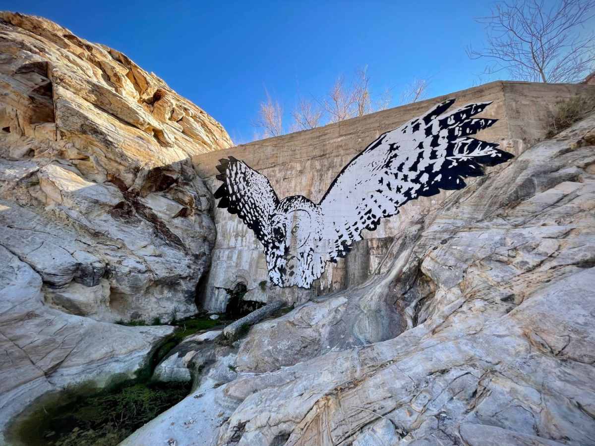
Hands down the most beautiful 5 hours I've spent in Nevada. This trail has so much. We did some rock climbing, went looking for the blister spring but only found trickling water and tadpoles but it was still really amazing. Please note; you absolutely have to have a 4x4 vehicle for this trail. Llts of very rocky spots. If you go to the Quarry TAKE THE RIGHT UPHILL, don't go straight like the map says. There's some dope caves and great rock climbing there. For me, this was a fairly difficult trail, expect to take most of it at 5-10 mph, at 4wd low. I highly recommend this trail.
Lars Normark
Jul 12, 2024
2021 Jeep Wrangler
Open
Normal
4x4 normal clearance will do just fine. We didn’t lock up diffs at any time. There are spots where you can choose a secondary path that is more challenging if you like. Amazing nature.
Dan N
May 26, 2024
Open
NormalDusty
Easy Trail - High Clearance recommended. Best to access from Valley of Fire HWY / Las Vegas Fwy.
Teddy K
Apr 04, 2024
2023 Jeep Wrangler
Open
Normal