Trail Overview
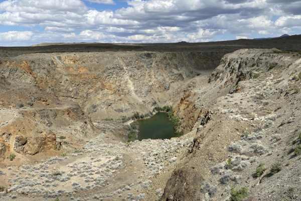
This 133-mile remote overland route traverses the historic mining country of Nevada's Seven Troughs Range, offering scenic desert views and historic ghost towns. The trail climbs from 4,300 to over 7,100 feet, passing landmark peaks like Seven Troughs Mountain, Rosebud Peak, and Majuba Mountain.
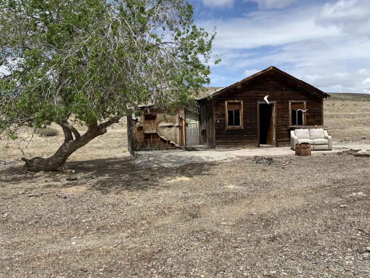
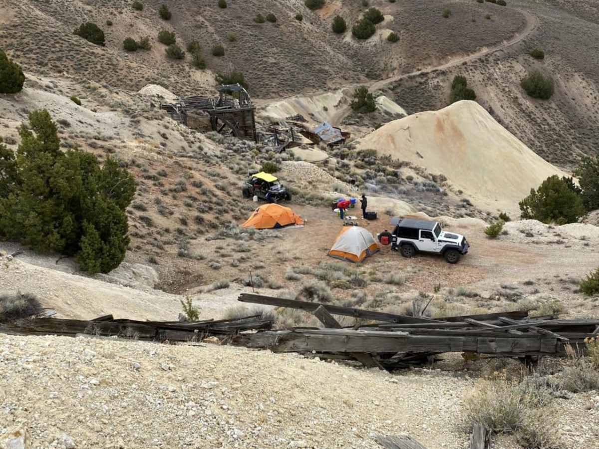
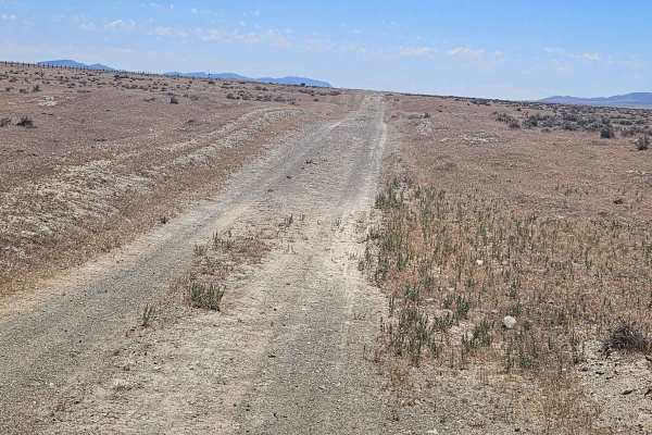
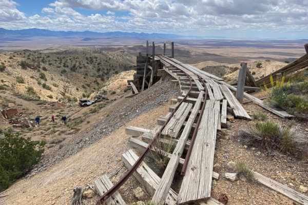
Drivers will encounter a mix of soft sand, steep climbs with loose rock, and deep washouts. Significant highlights include the historic mining ruins of Tunnel Camp and the nearby site of Mazuma, a town destroyed by a flash flood in 1912. The unmaintained tracks past Tunnel Camp require a high-clearance four-wheel-drive vehicle, self-reliance, and proper preparation for remote, cell-free conditions.
History
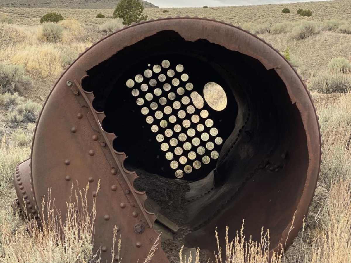
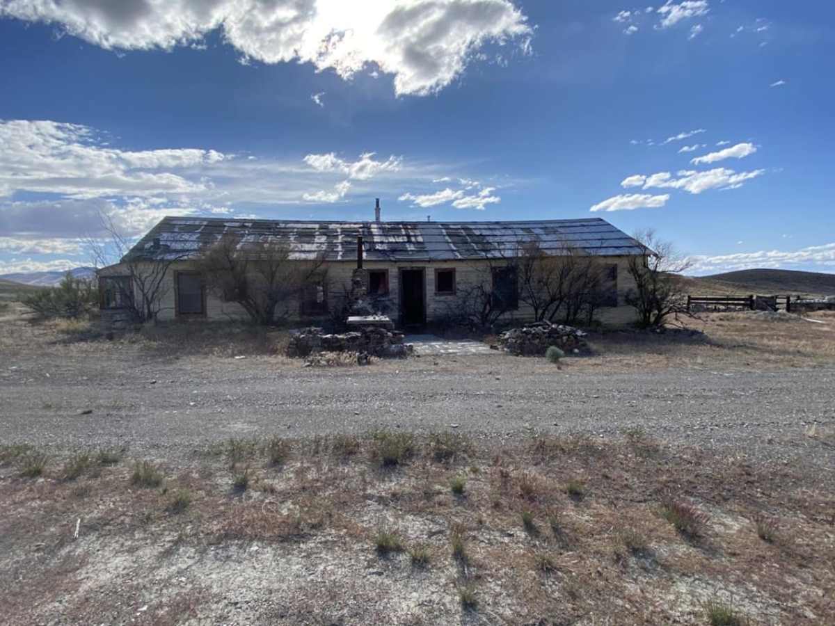
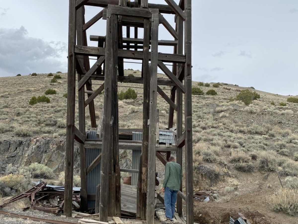
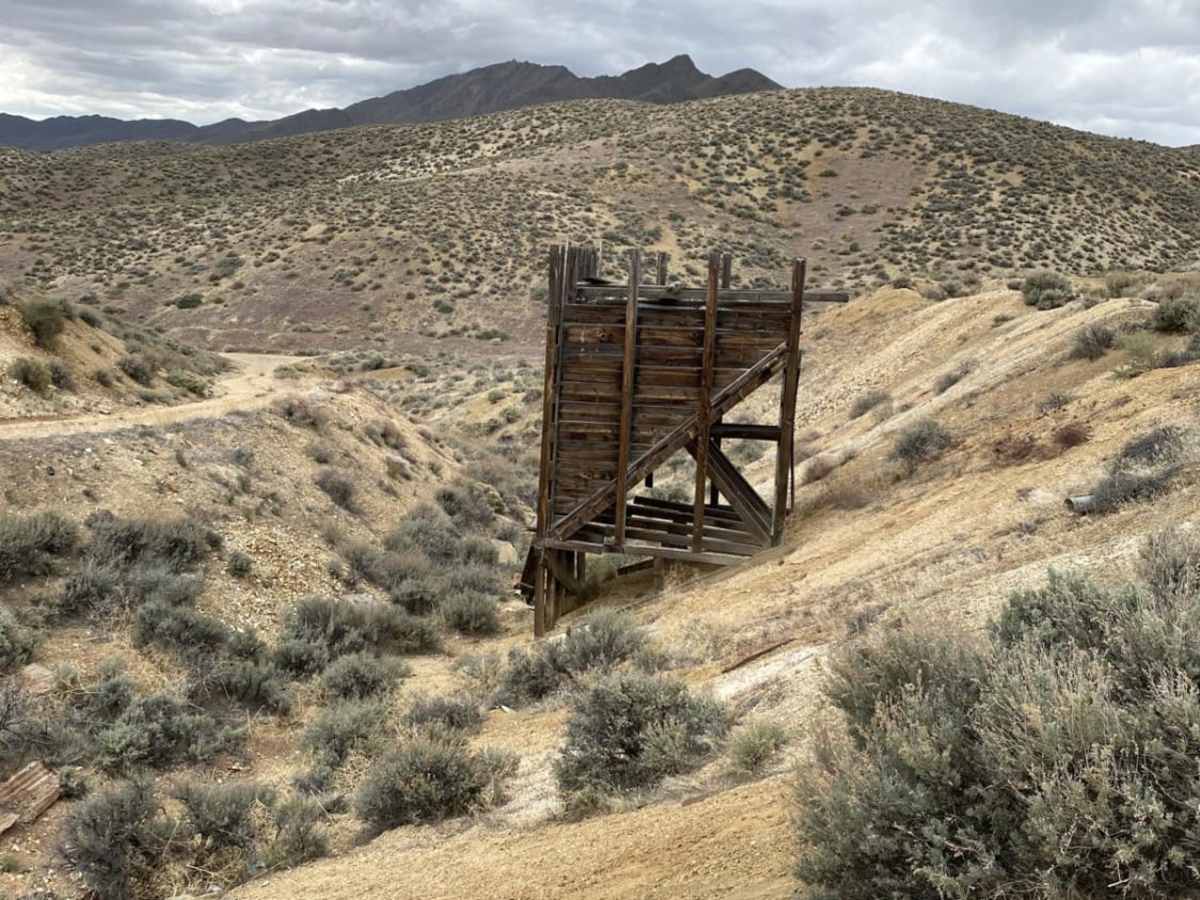
The Seven Troughs mining district was active in the early 1900s, with the town of Mazuma serving as its central hub after its establishment in 1907. In July 1912, a devastating flash flood sent a 20-foot wall of water through the canyon, destroying Mazuma and killing nine people. Nearby Tunnel Camp remains a prominent historical site, featuring the ruins of a failed attempt to bore a massive tunnel to drain water from the local mines to allow deeper extraction.
Access Description
Access to the Seven Troughs Range is free and does not require permits as it traverses public BLM land. There is no cellular service in the area, meaning travelers must be entirely self-sufficient with adequate water, food, fuel, and vehicle recovery tools. Roads are unmaintained and can become impassable during wet weather.

 Offroad