Trail Overview
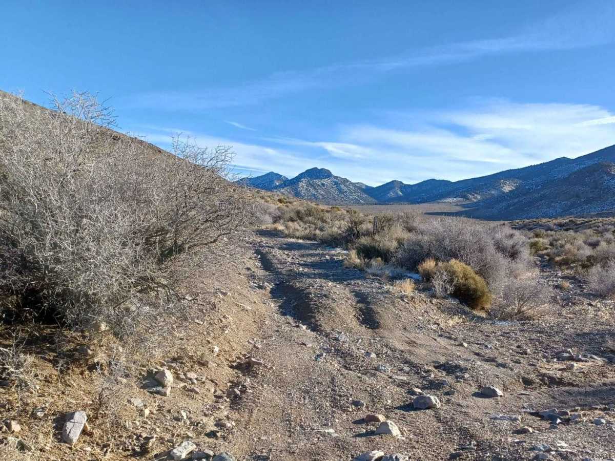
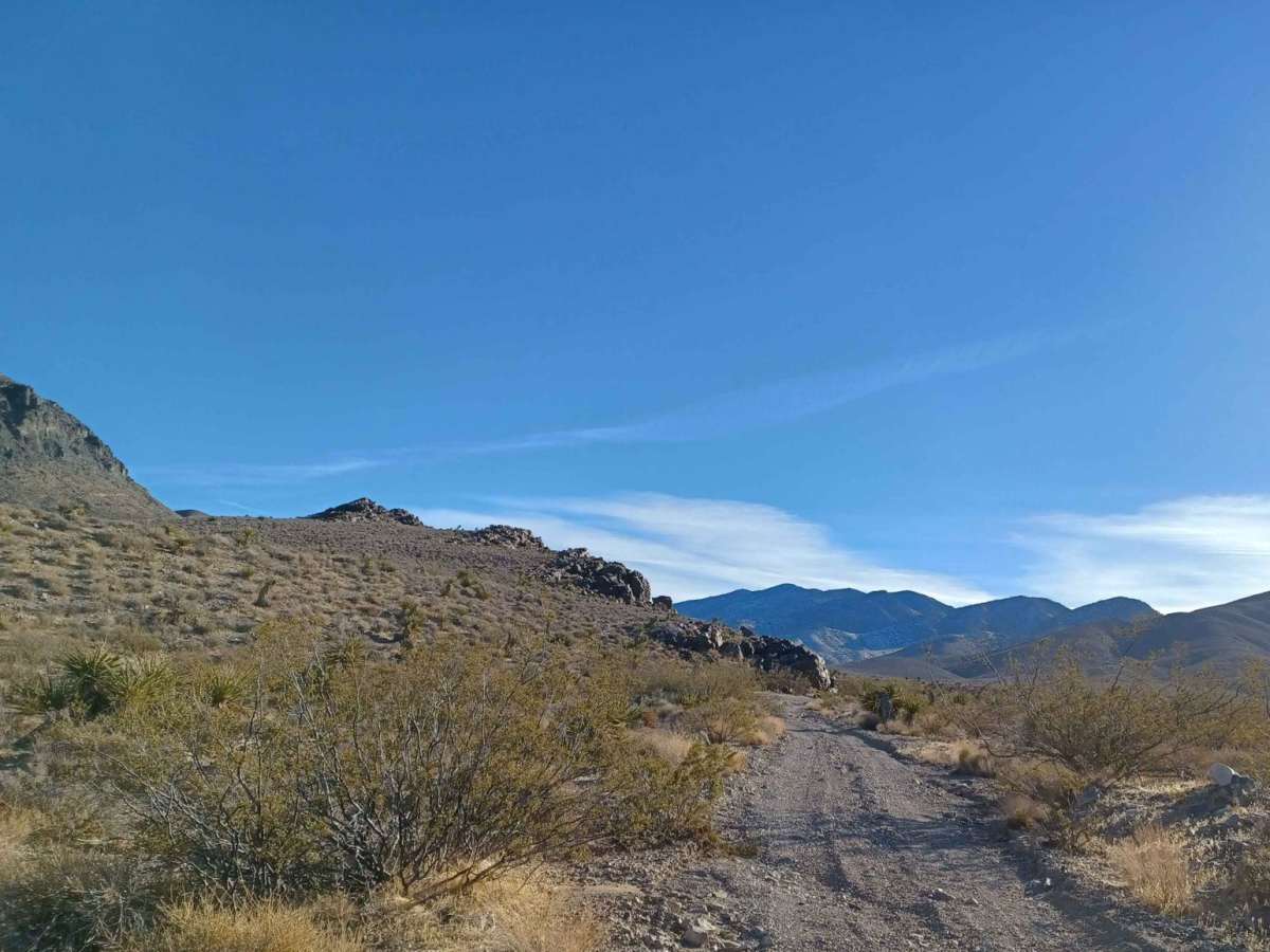
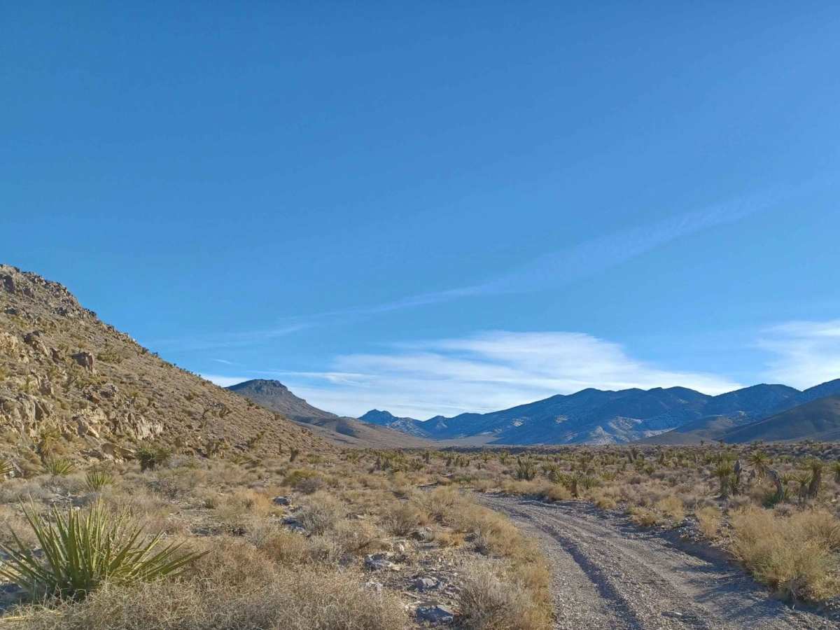
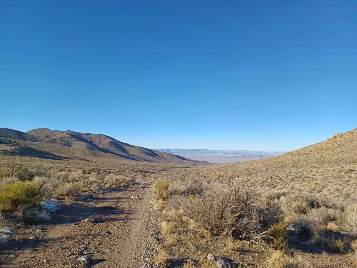
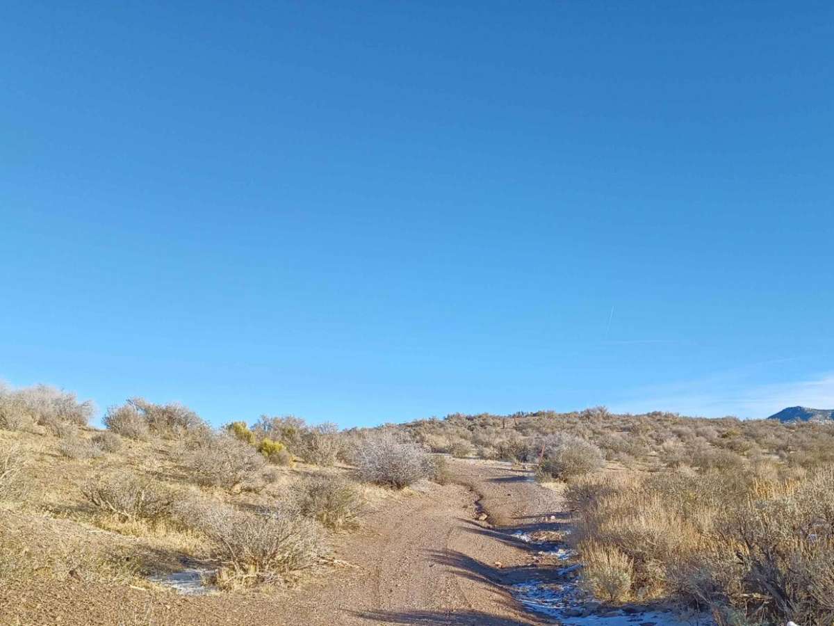
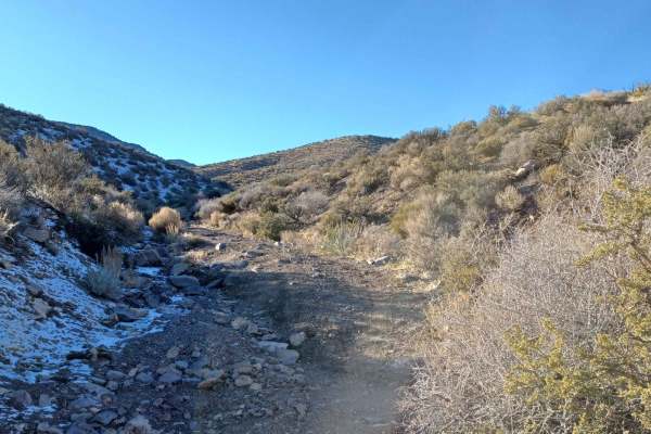
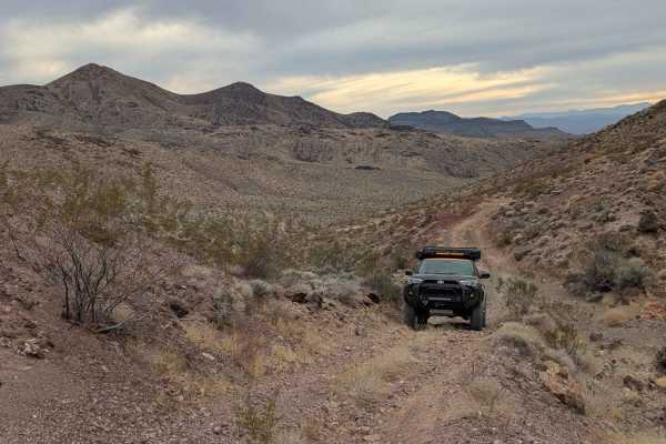
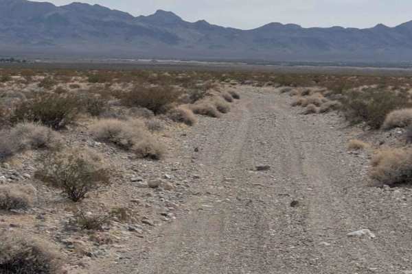
Starting off US Highway 95, 552 Mining Entry Road is an 8.8-mile scenic climb ascending over 2,000 feet into the Humboldt-Toiyabe National Forest foothills below Mount Stirling. The easy-going trail has a technical rating of 2, making it suitable for most stock high-clearance 4WD vehicles. The primary unpaved gravel surface features occasional loose rock and minor washouts from seasonal water crossings.
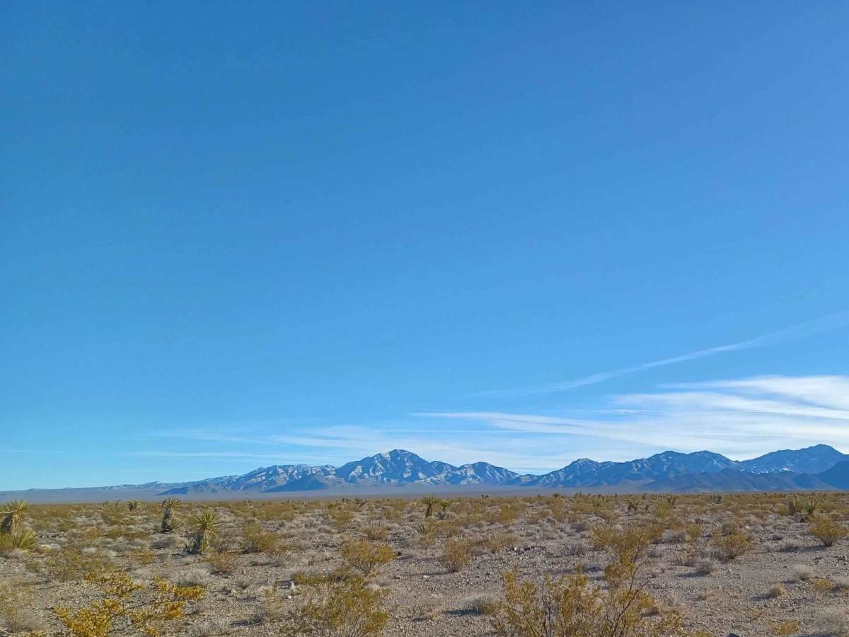
As the route climbs, it opens up to expansive vistas of the Amargosa Desert. The trail crosses BLM and U.S. Forest Service lands, ending at a small turnaround loop with a single primitive campsite. Drivers should monitor the weather, as active drainage areas are prone to flash flooding and washouts.
Access Description
The route traverses Bureau of Land Management and Humboldt-Toiyabe National Forest lands. There are no fees or permits required to access the road, but drivers should monitor local weather forecasts as the wash crossings are highly vulnerable to flash flooding.