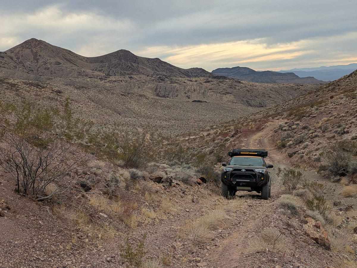
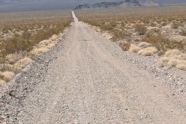
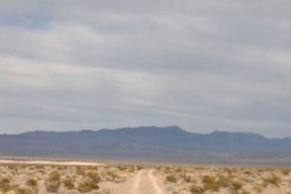
Trail Overview
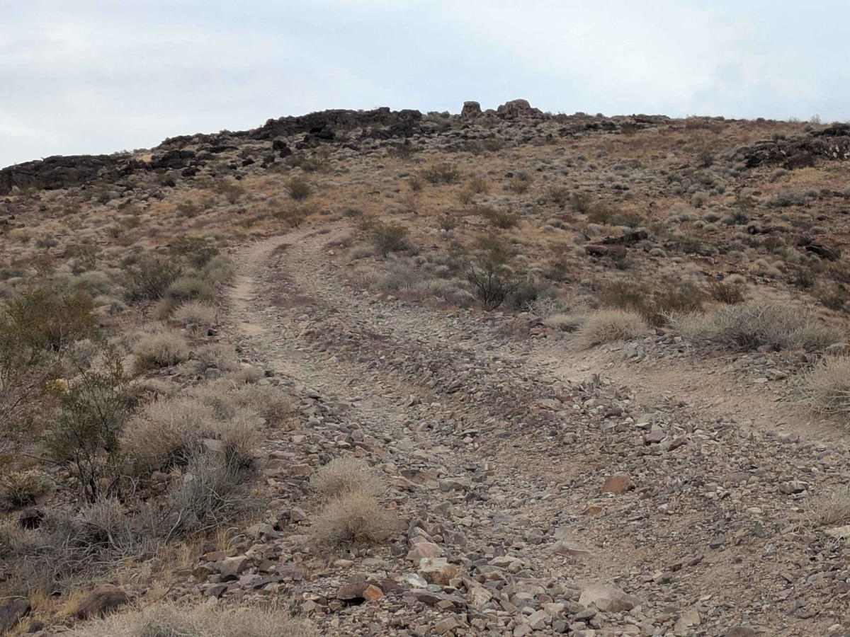
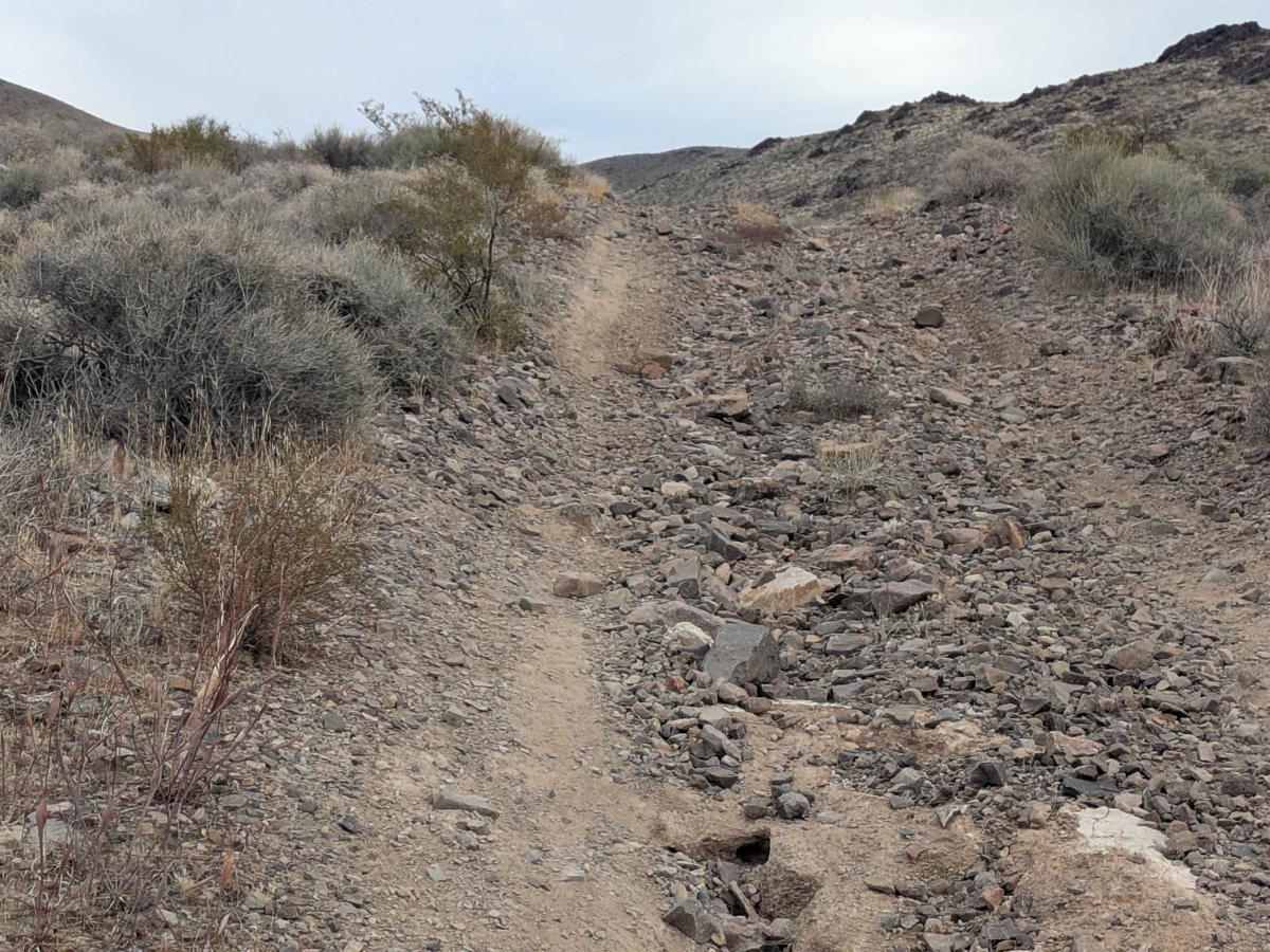
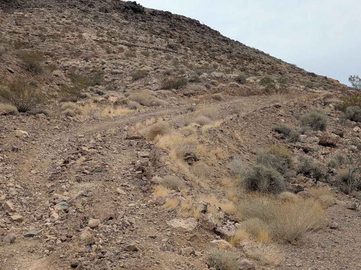
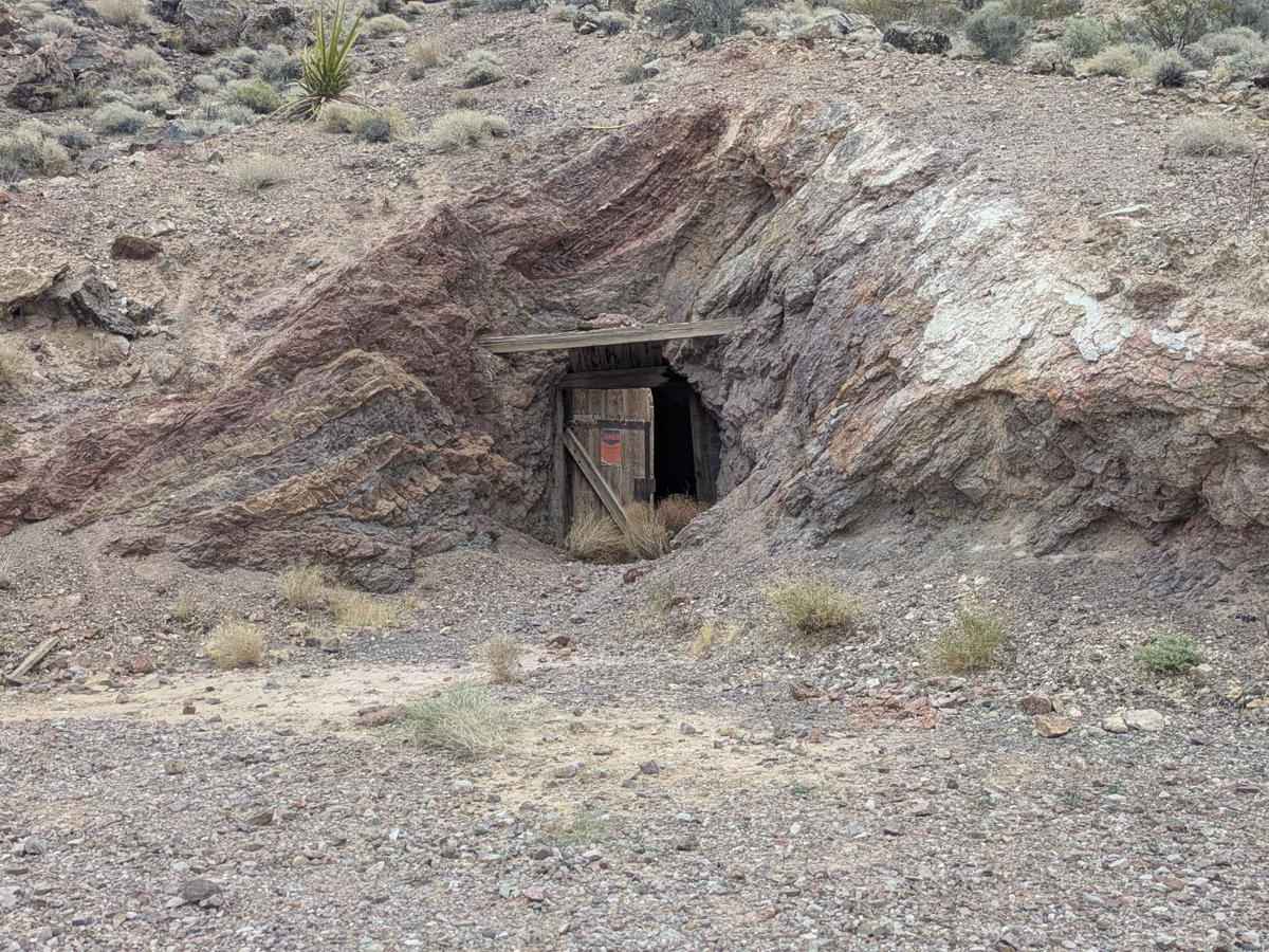
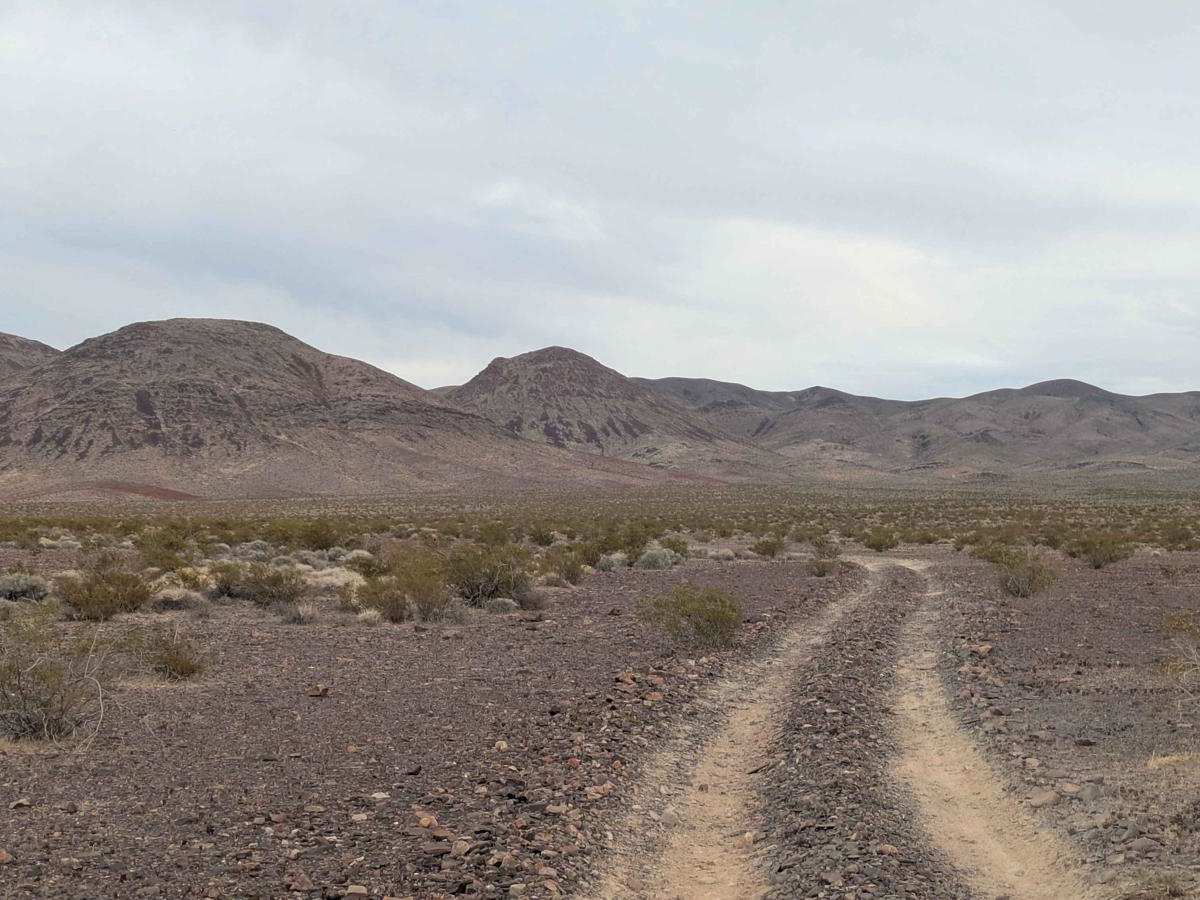
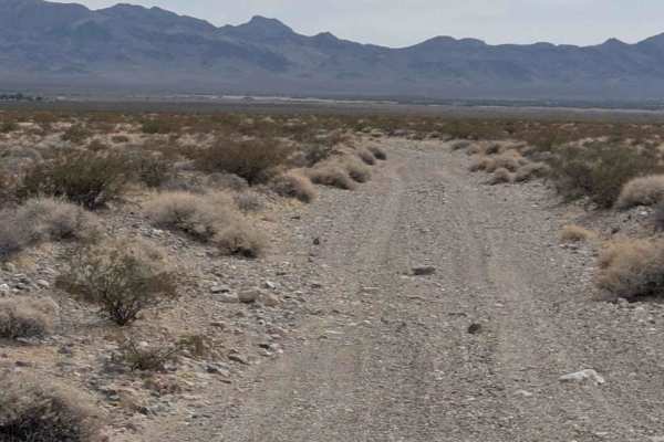
Congress Mine Road starts just off Highway 160 and ends at BLM 927827. From the North, it will climb over 1650 feet in just under seven miles. The road is very scenic in all directions. The Congress Mine is an old, closed gold mine. One can still admire a few old entrances to the mines, but some have been filled in for safety. None are safe to explore. The views from the top section are stunning in all directions.
Difficulty
This trail has many small rocks and loose rocks as well as some steep, off-camber sections. There are various sections of deep ruts to carefully maneuver and a few cliff edges to make it nail nail-biter. The route would be more challenging when wet or snow-covered. There is one section where a wash will try to lure you, but it is impassable.
History
The Congress Mine, located near Pahrump, Nevada, was initially named the Chispa Mine and was later renamed to the Congress Mine by Jim Butler, the founder of Tonopah. It was part of the Johnnie mining district, which saw a boom in the late 19th and early 20th centuries. The mine was known for its gold production and played a role in the development of the surrounding area. Here's a more detailed look at the history: Early Mining Boom: The Johnnie mining district, including the Congress Mine, experienced significant activity in the late 1800s and early 1900s, fueled by the discovery of gold. Johnnie and Congress Mines: The Johnnie and Congress mines were among the most important in the district, attracting investors and miners.Decline and Revival: The mining boom eventually subsided, and the settlement of Johnnie declined. However, it experienced a brief revival in the 1890s and early 1900s due to new investments in the mines, including the Congress Mine. Post Office History: The Johnnie post office, initially established in 1891, closed and reopened multiple times, reflecting the fluctuating fortunes of the mining community.Other Notable People: John Weisser mentioned several other individuals involved in the mining district, including George Montgomery, Charles Breyfogle, Alva Meyers, and J. Ross Clark.