Trail Overview
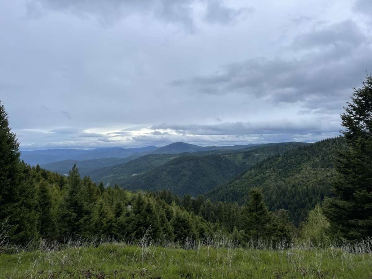
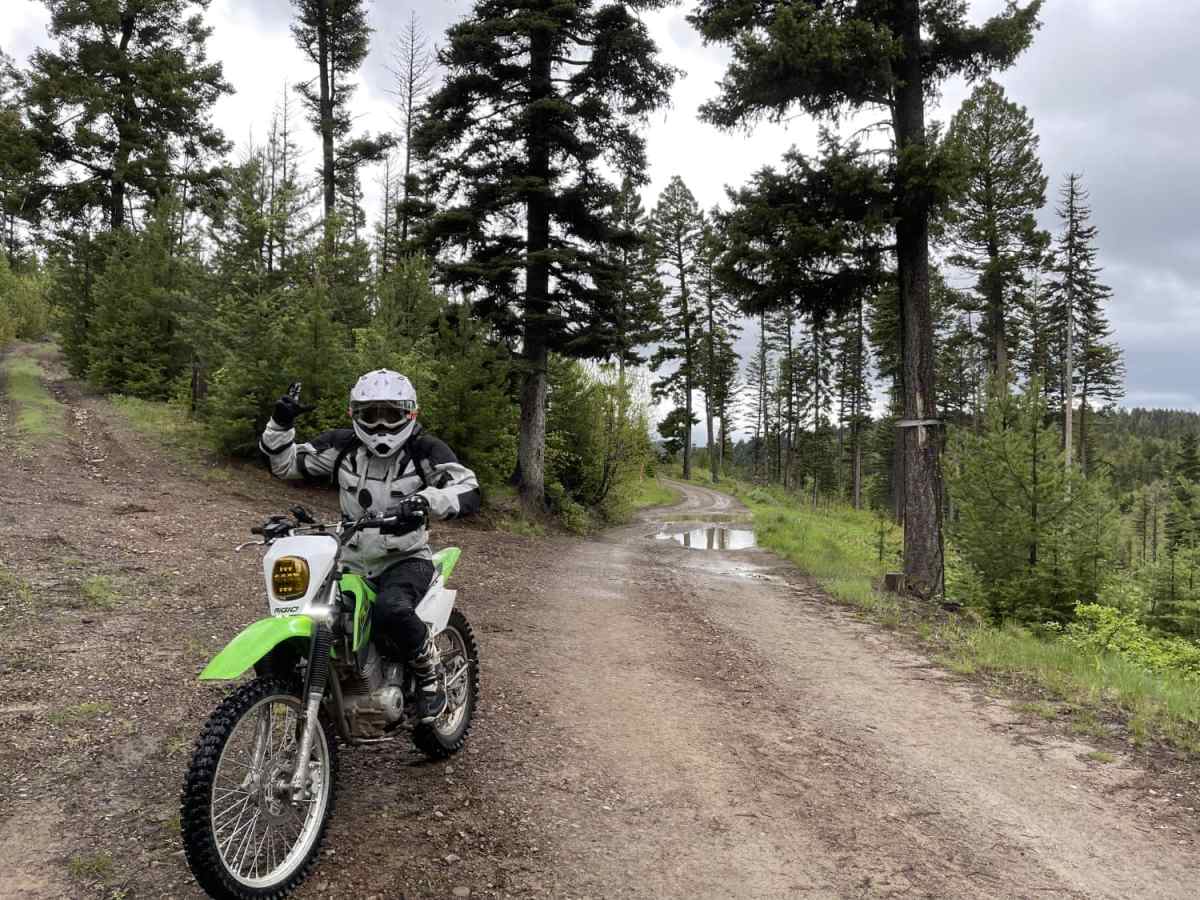
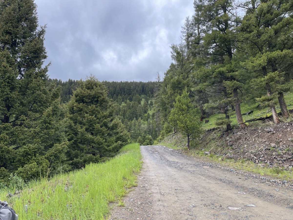
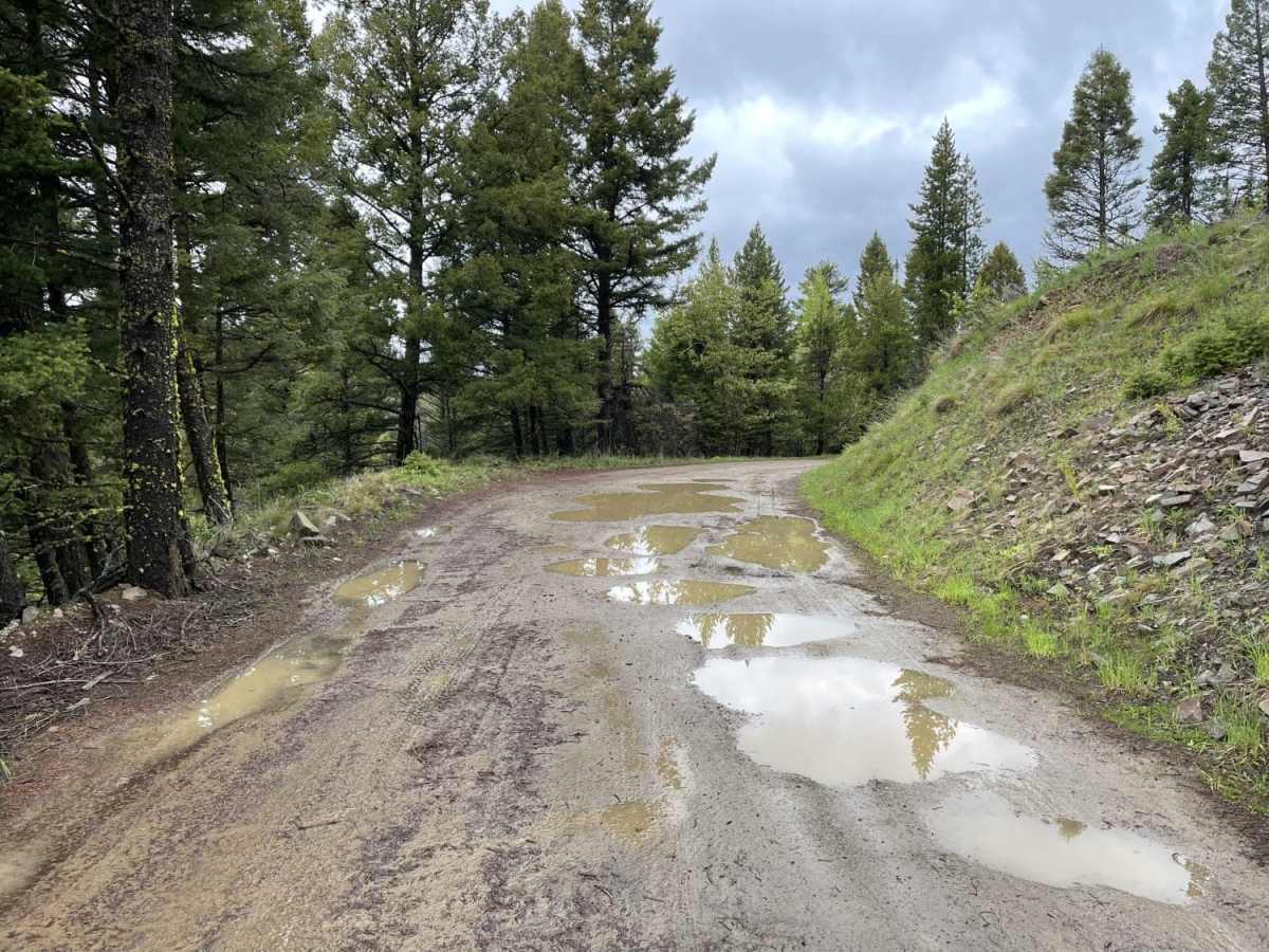
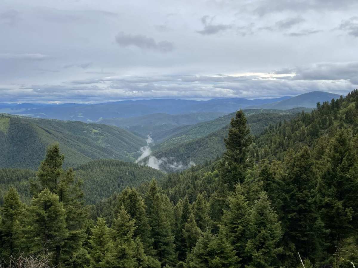
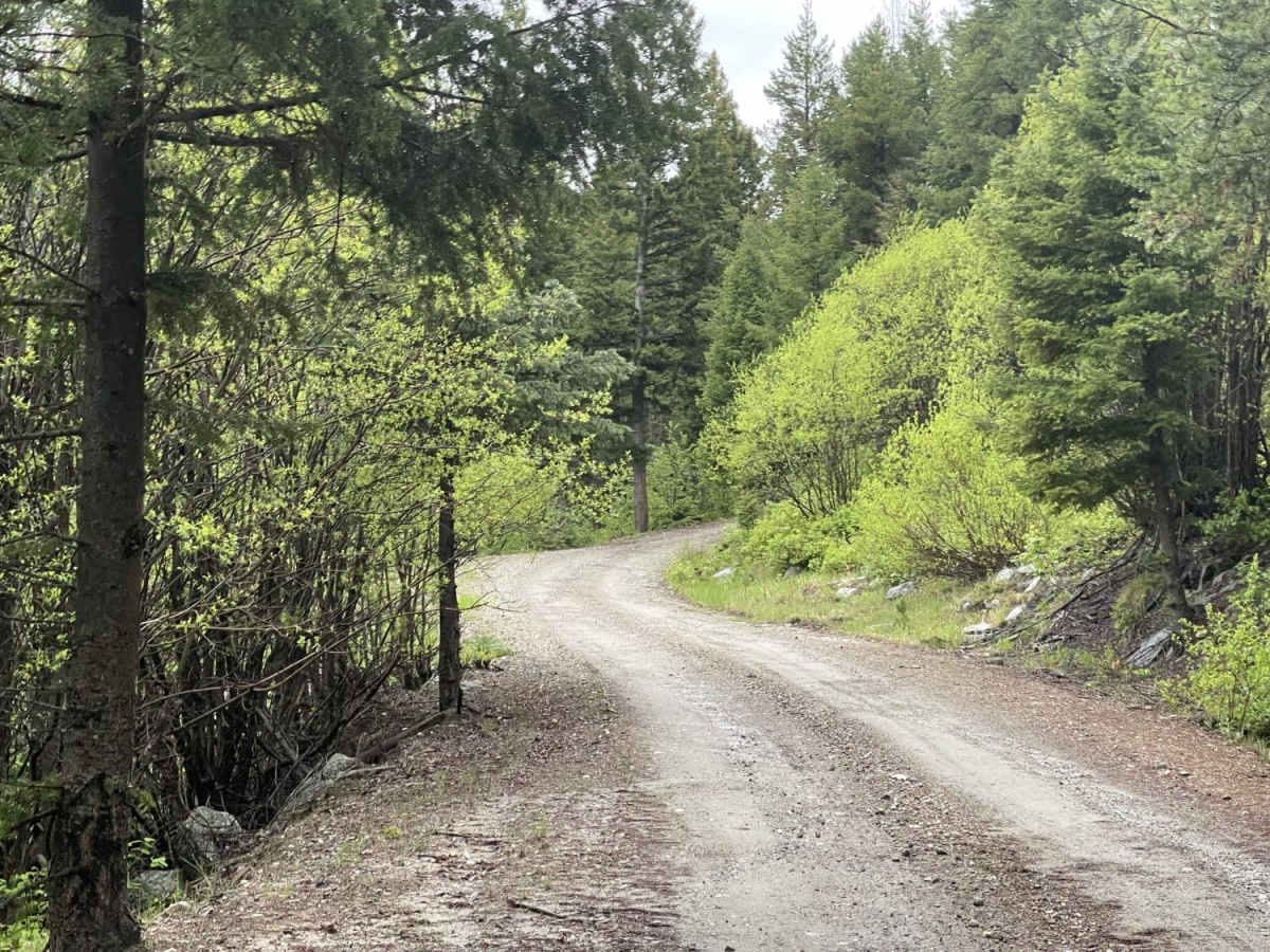
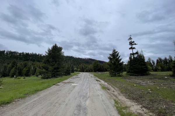
Upper Cave Gulch Road is a scenic, beginner-friendly offroad route that offers a perfect short drive for history buffs and casual sightseers wanting to explore Montana's famous Garnet Range. Spanning approximately 2.2 miles with a mild elevation change peaking around 6,030 feet, this narrow trail provides four-wheel-drive vehicles, SxSs, and dirt bikes with a direct passage right next to the historic, well-preserved Garnet Ghost Town. As you wind along the ridgeline, you are treated to exceptional, sweeping views of the valley below before plunging into dense, lush pine forest. The terrain is mostly easy, rated a 2 out of 10, but drivers should remain alert for narrow sections and deep, massive potholes that can quickly fill with water during wet seasons or after heavy rains.
While navigating this short segment, expect cell service to fade from a couple of bars of LTE to absolutely none as you approach the old mine area, making offline maps highly recommended. Dispersed camping is sparse, with only one notable roadside spot suitable for a quick overnight stay, so planning ahead for alternative campsites in the surrounding Bureau of Land Management lands is wise. The route primarily features an unpaved dirt surface, requiring standard high-clearance four-wheel-drive vehicles under normal conditions, though mud-slicked potholes during the spring melt or summer storms can add a minor technical challenge. This trail serves as an accessible connector to explore the historic mining ruins and high-altitude forested scenery of western Montana.
History
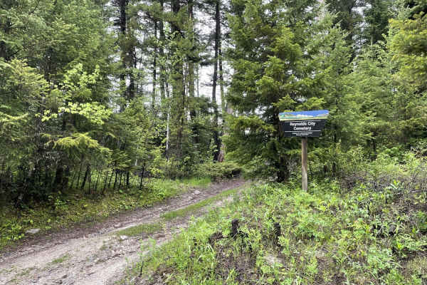
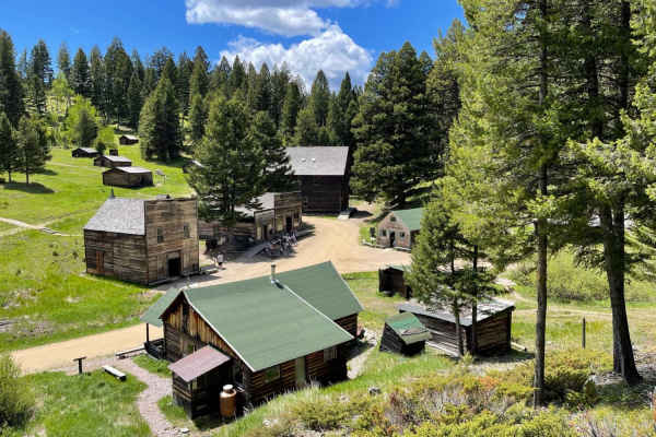
The trail passes right next to Garnet Ghost Town, which was once a bustling gold-mining town that peaked in the late 1890s with a population of nearly 1,000 residents, several hotels, and dozens of active mines. After the gold veins were exhausted and a major fire destroyed much of the business district in 1912, the town was gradually abandoned, leaving behind dozens of remarkably well-preserved historic cabins, a saloon, and mining structures that are now preserved and interpreted by the Bureau of Land Management.
Access Description
The road and surrounding area are managed by the Bureau of Land Management (BLM). While there is no fee to drive Upper Cave Gulch Road, visiting the adjacent Garnet Ghost Town requires a day-use fee of $3 for adults aged 16 and older. During the winter, wheeled motorized vehicles are prohibited as the Garnet Range trails are groomed for snowmobiles and winter recreation from January 1 through April 30.

 Offroad