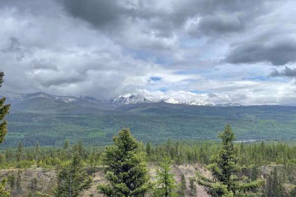
Secondary Road A

Total Miles1.3
Technical Rating
2Easy
Best TimeFall, Summer, Spring
Trail TypeFull-Width Road
Accessible By
Open Trail Map

Trail Overview

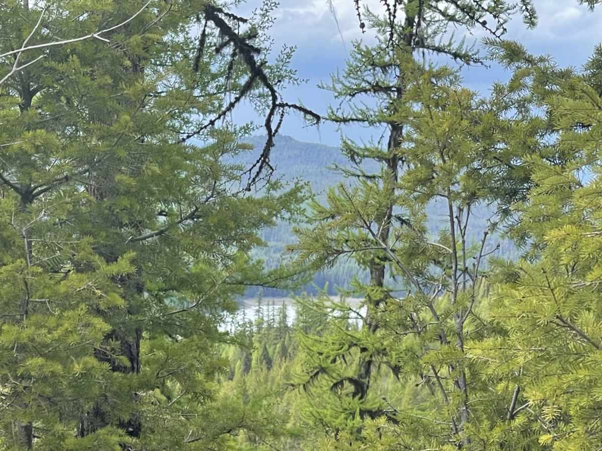
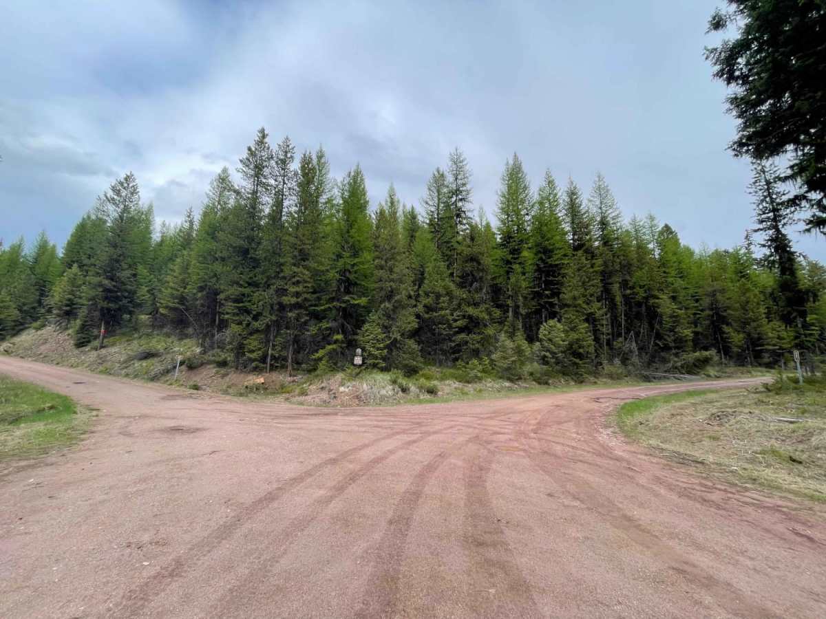
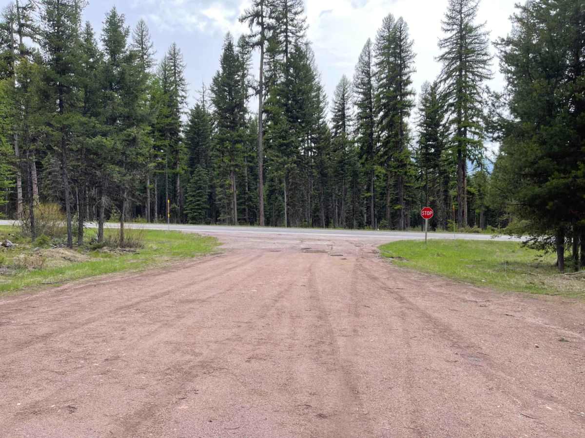
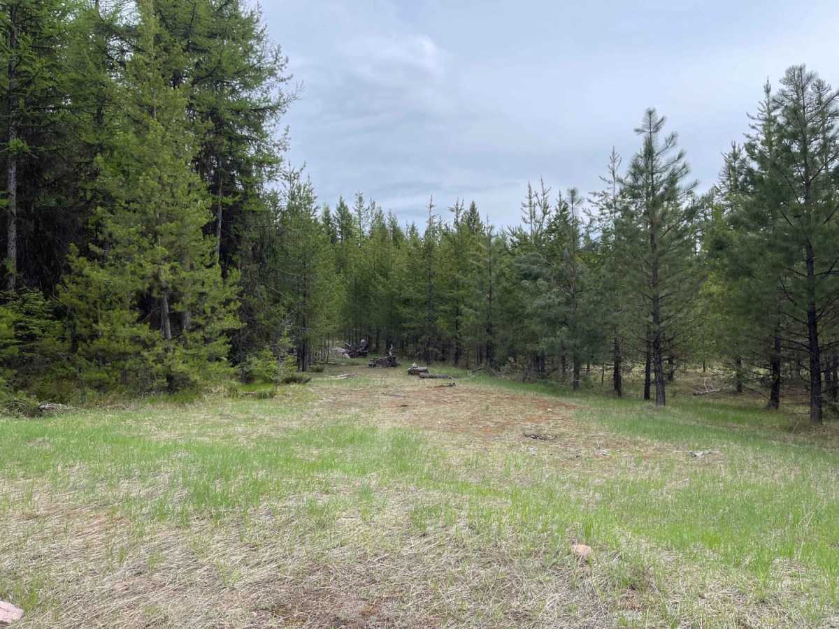
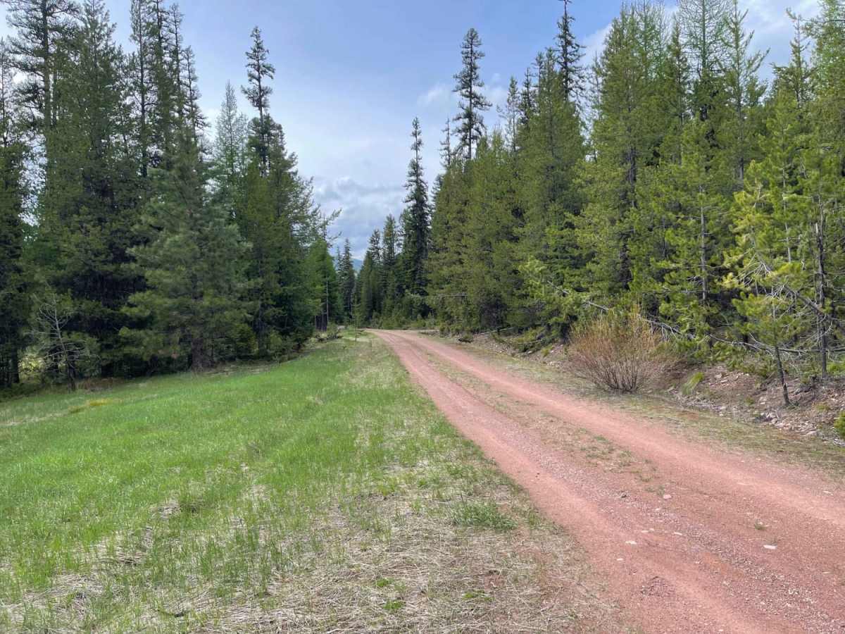
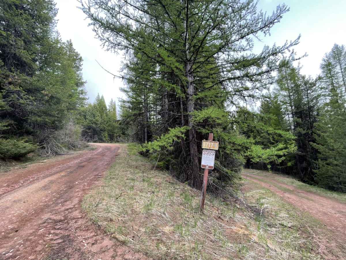
Secondary Road A (Forest Road 4351) is a short, 1.3-mile climbing route off Montana Highway 83, providing access for hikers, mountain bikers, and off-roaders. The unpaved dirt and gravel road climbs 480 feet through thick pine forest, reaching a maximum elevation of 4,616 feet. While rated an easy 2, the route features several tight, steep switchbacks that can be challenging for long-wheelbase vehicles. The heavily wooded trail offers quiet dispersed camping sites away from busier lakeside campgrounds. Side roads are restricted to non-motorized travel, making this a great starting point for exploring on foot, bike, or horseback. High-clearance 4WD vehicles are recommended, and the route is best traveled from late spring through autumn.

Photos of Secondary Road A

Difficulty

Mostly easy, some tighter steep switchback turns may be difficult for long wheelbase vehicles.

Technical Rating

2

Secondary Road A Trail can be accessed by the following ride types:

  • Single Track
  • 50 Inch
  • 60 Inch
  • High Clearance
  • Full Width

Access Description

The main road is open to motorized vehicles, but branching spur trails and old logging roads are closed to motorized travel and restricted to hiking, biking, and horseback riding. No fees or permits are required to access or camp along the road, though users must follow Lolo National Forest dispersed camping regulations.

Secondary Road A Map

The onX Offroad Difference

onX Offroad combines trail photos, descriptions, difficulty ratings, width restrictions, seasonality, and more in a user-friendly interface. Available on all devices, with offline access and full compatibility with CarPlay and Android Auto. Discover what you're missing today!

Open Trail Map