Trail Overview
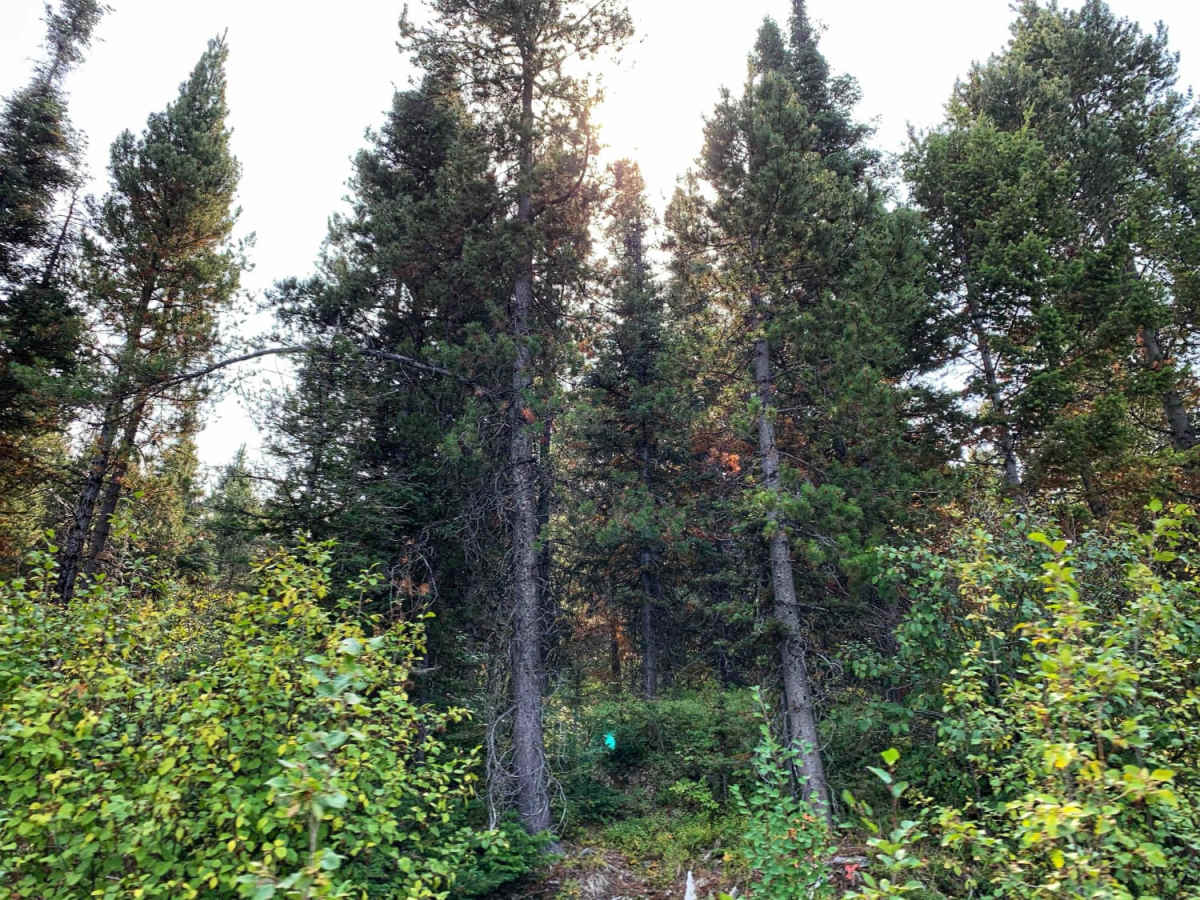
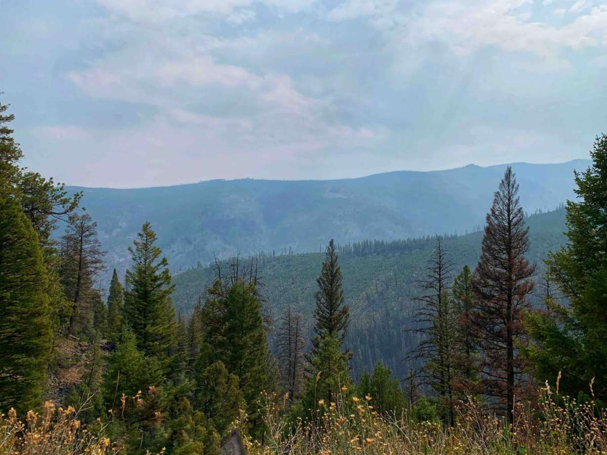
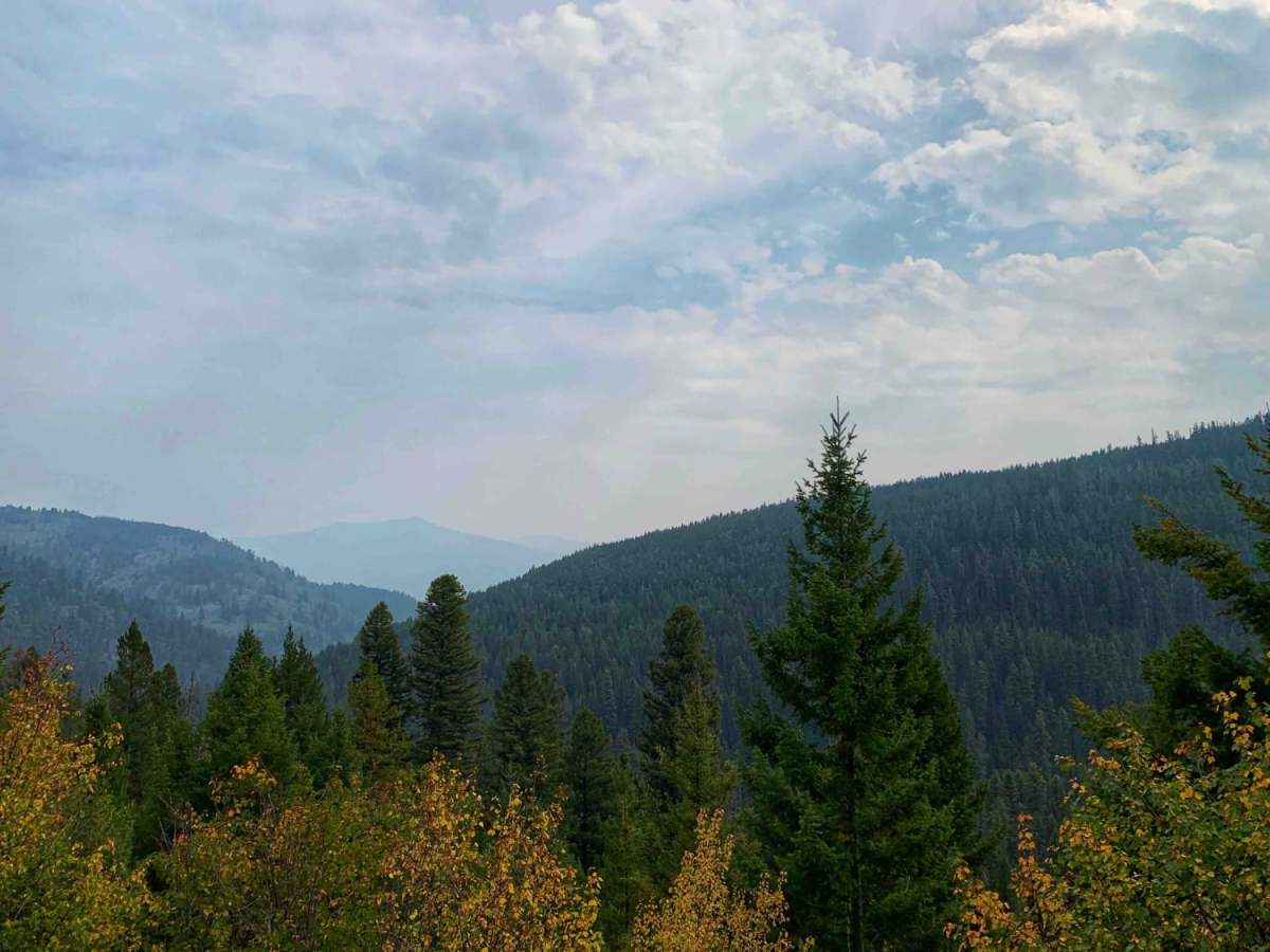
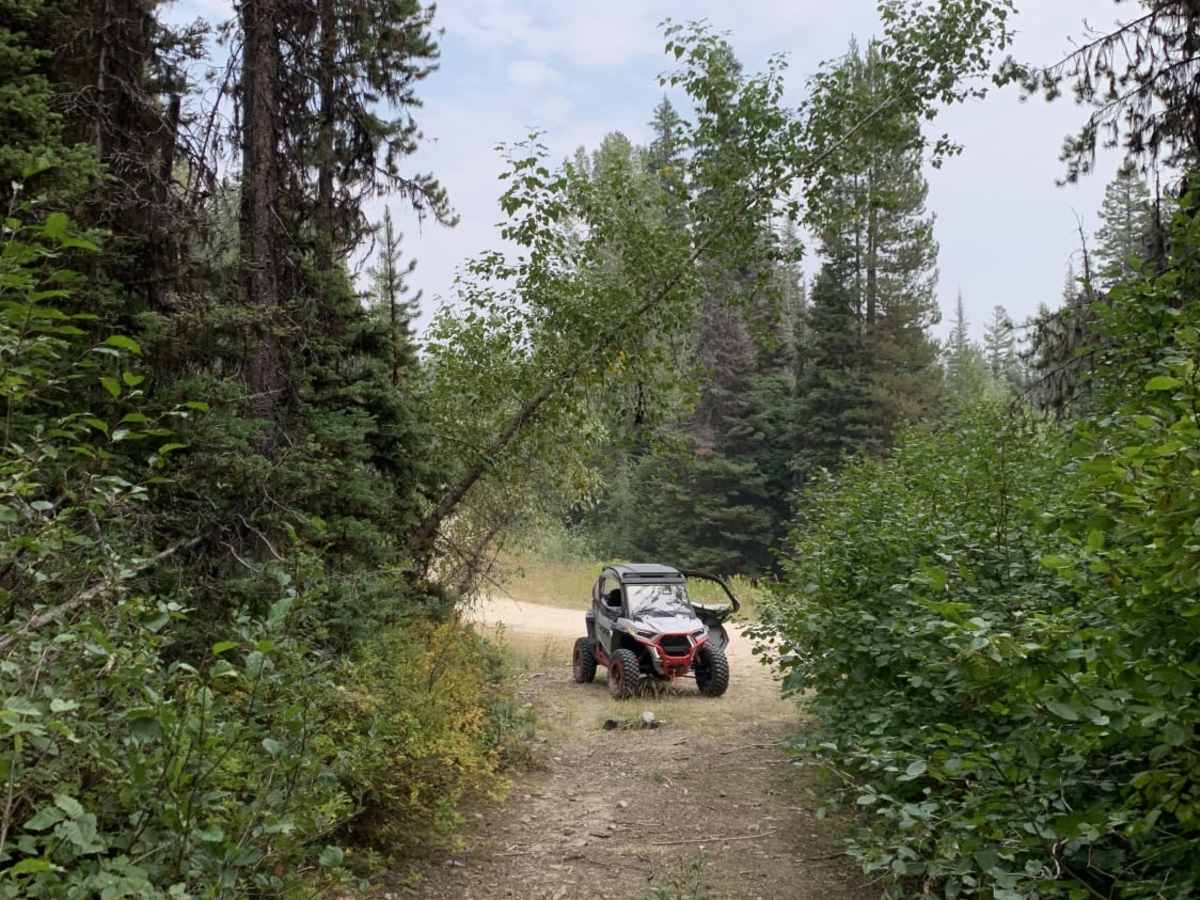
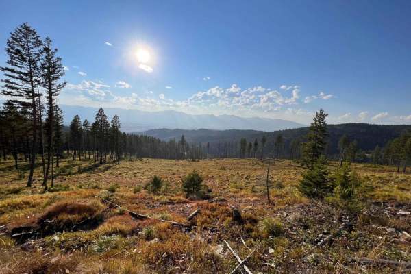
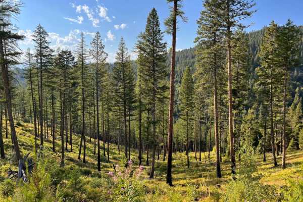
Sawmill Ridge Run is an exceptional ridge-top connector trail designed for four-wheel-drive vehicles, SxSs, and dirt bikes looking to traverse the scenic crest of Montana's Sapphire Mountains. Spanning approximately 12 miles with elevation profiles ranging from 5,840 feet to 6,618 feet, this dirt route links Sawmill Saddle and Ambrose Saddle, delivering a classic mountain driving experience through dense pine forests. Along the way, the path occasionally opens up to reveal sweeping vistas of the surrounding timbered peaks. With a mild technical rating, the trail serves as a crucial link that transforms isolated out-and-back tracks into a cohesive, multi-trail loop adventure.
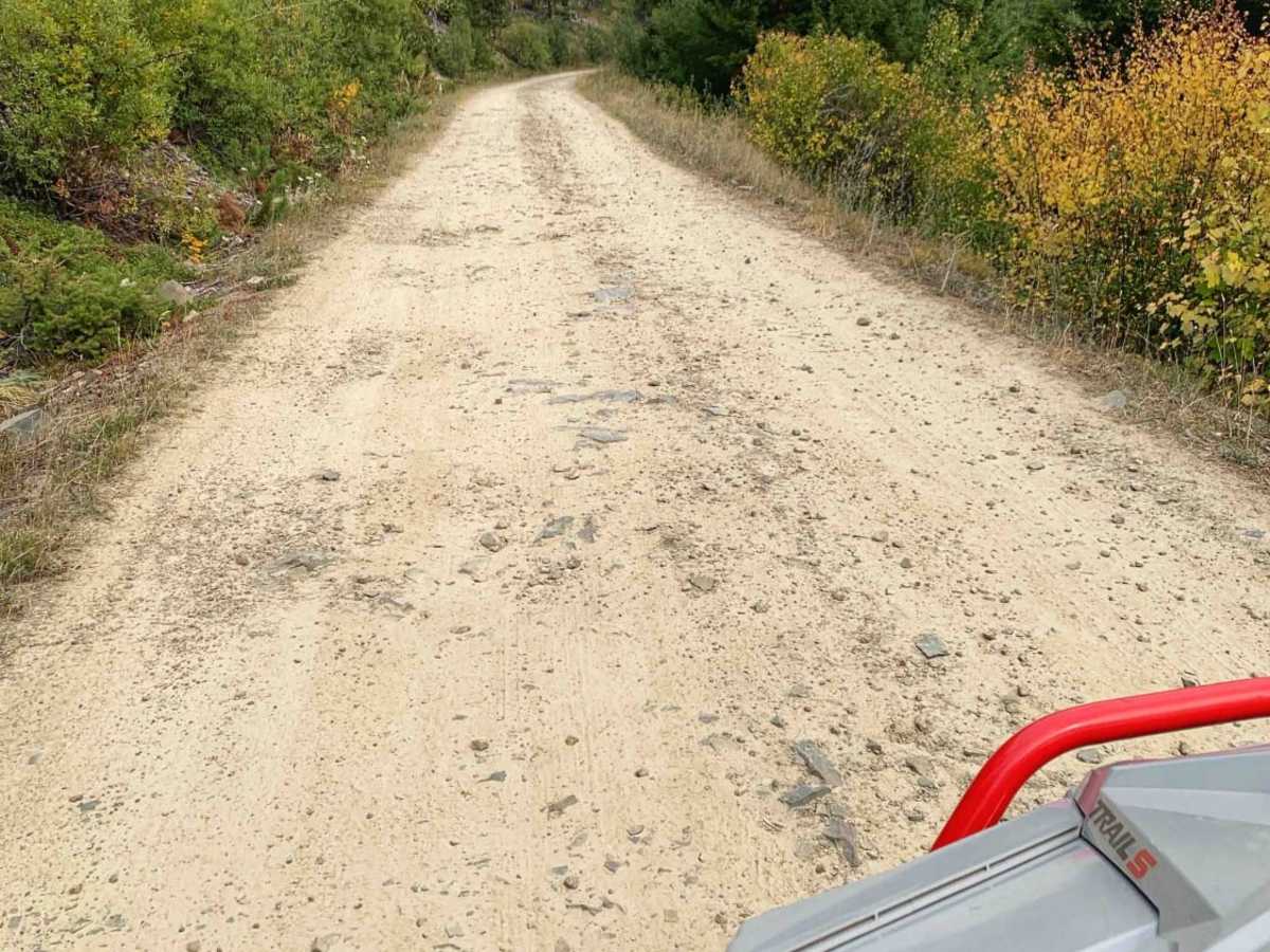
The terrain consists primarily of unpaved dirt that is generally easy to navigate, though drivers should remain alert for bumpy, rutted sections and minor washouts, particularly around the tight, twisty corners. While high-clearance four-wheel-drive rigs and SxSs will easily negotiate these obstacles, the route is not maintained during the winter months, making spring travel highly unpredictable due to lingering snowpacks. Autumn is arguably the most spectacular season to visit, as the changing leaves paint the mountainsides in vibrant hues of gold and orange. Several small, dispersed campsites sit directly off the trail, providing quiet, primitive overnight options for travelers wishing to extend their stay in the backcountry.
Difficulty
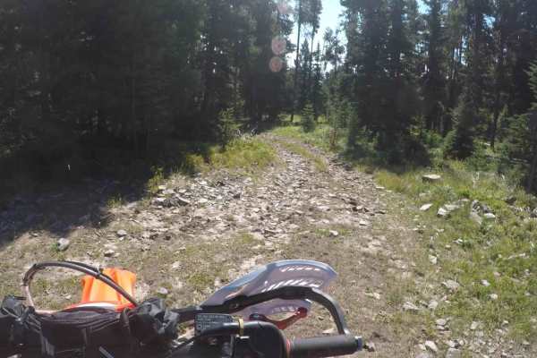
bumpy, rutted in sections, and some washouts in the corners. Also not maintained for winter, could be quite challenging in the spring time before all the snow has melted.